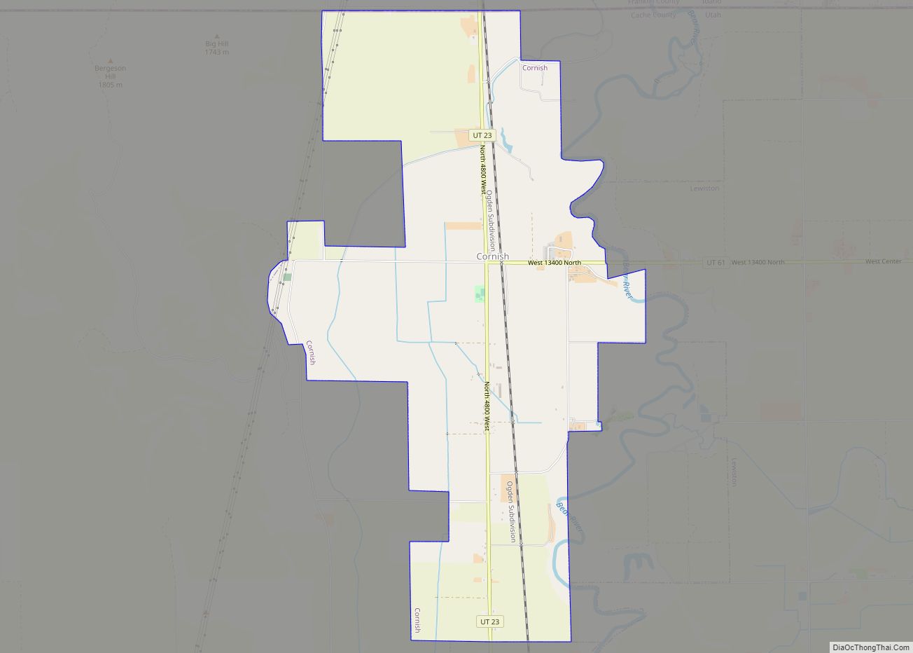
Cornish is a town in Cache County, Utah, United States. The population was 288 at the 2010 census. It is included in the Logan, Utah–Idaho (partial) Metropolitan Statistical Area.
| Name: | Cornish town |
|---|---|
| LSAD Code: | 43 |
| LSAD Description: | town (suffix) |
| State: | Utah |
| County: | Cache County |
| Incorporated: | 1937 |
| Elevation: | 4,485 ft (1,367 m) |
| Total Area: | 5.39 sq mi (13.96 km²) |
| Land Area: | 5.39 sq mi (13.96 km²) |
| Water Area: | 0.00 sq mi (0.01 km²) |
| Total Population: | 288 |
| Population Density: | 62.53/sq mi (24.15/km²) |
| ZIP code: | 84308 |
| Area code: | 435 |
| FIPS code: | 4915940 |
| GNISfeature ID: | 1437533 |
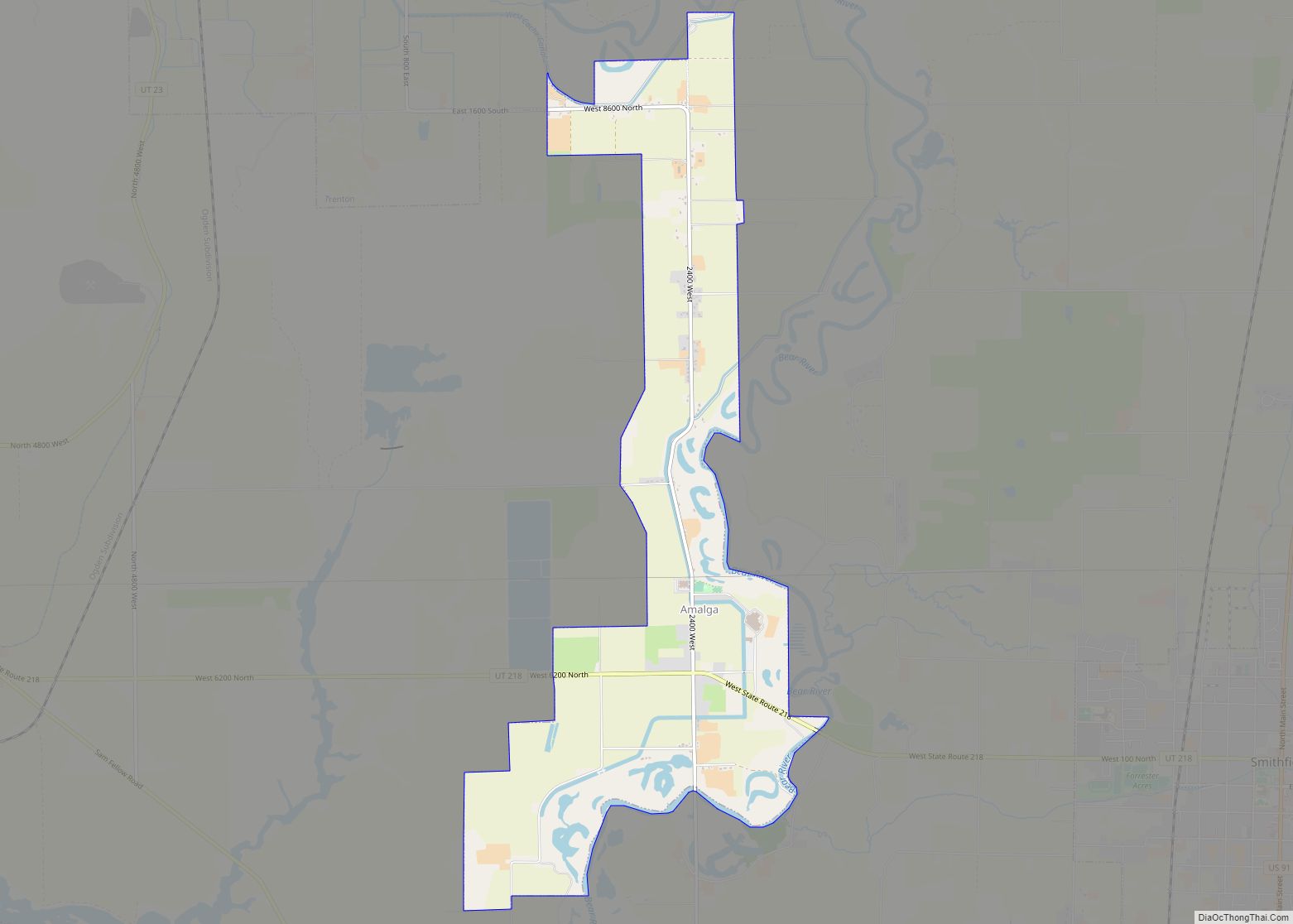
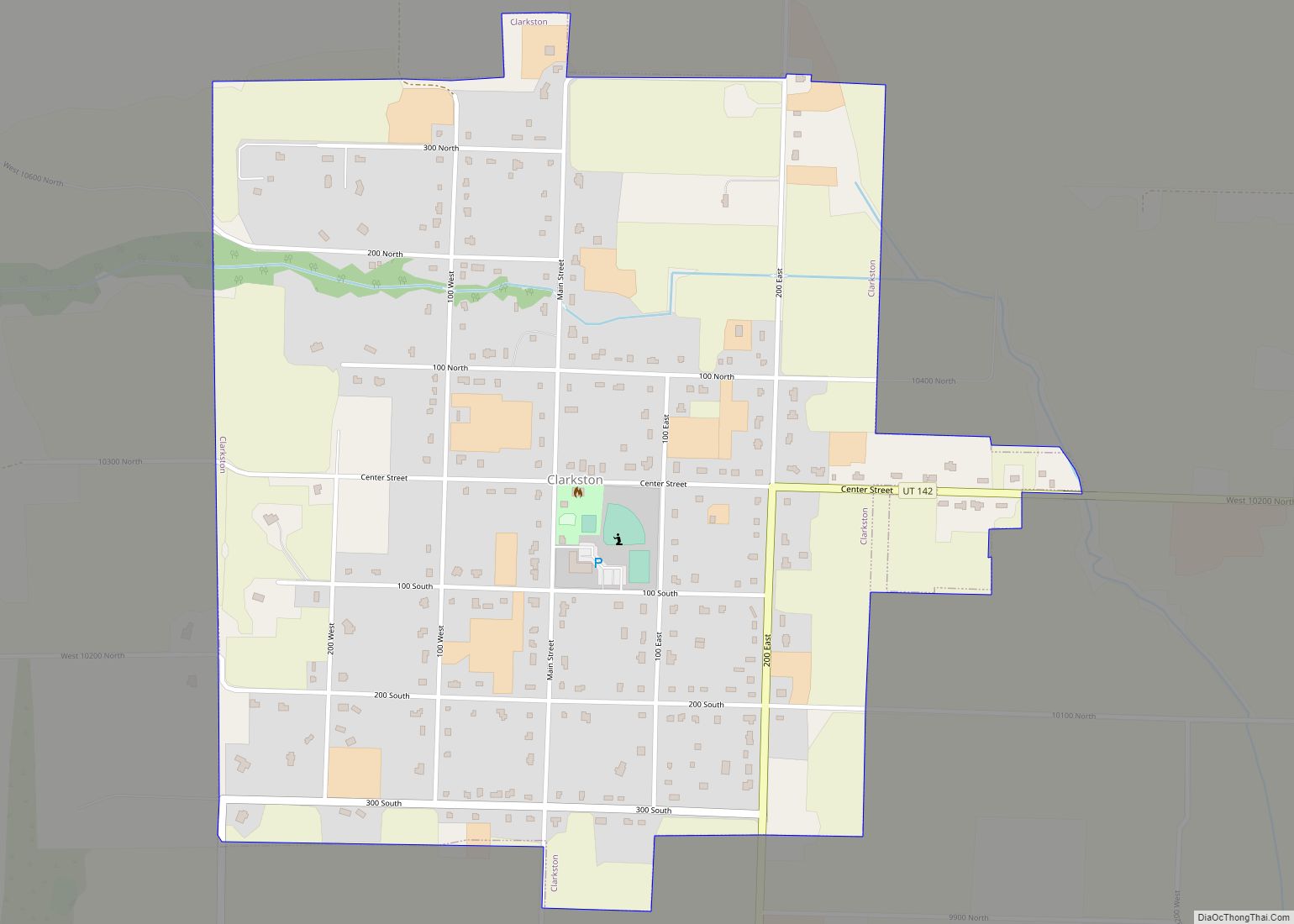
Online Interactive Map
Click on ![]() to view map in "full screen" mode.
to view map in "full screen" mode.
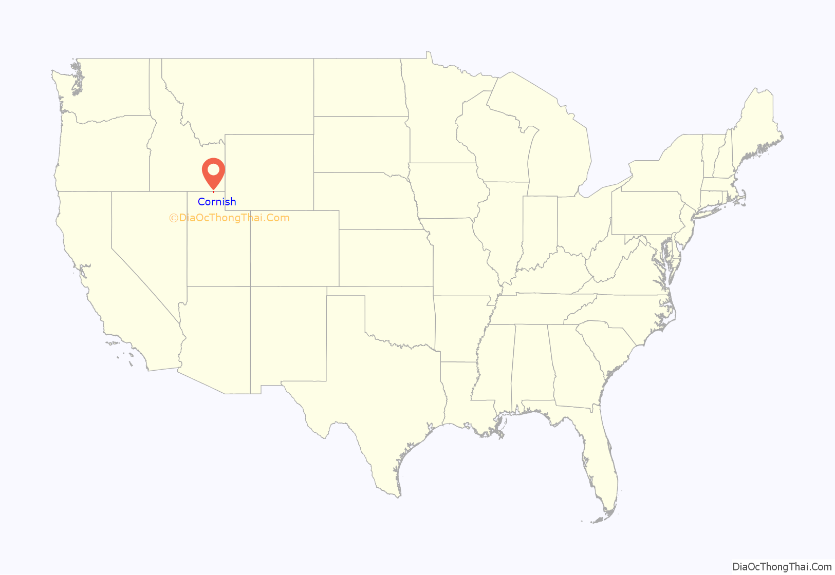
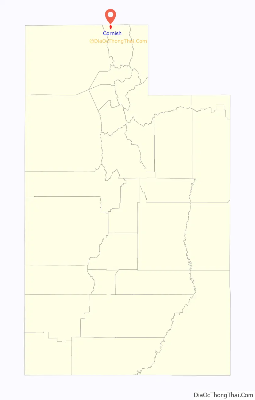
Cornish location map. Where is Cornish town?
History
Cornish emerged as a town on the Oregon Short Line Railroad. It was formed into a separate ward in 1907.
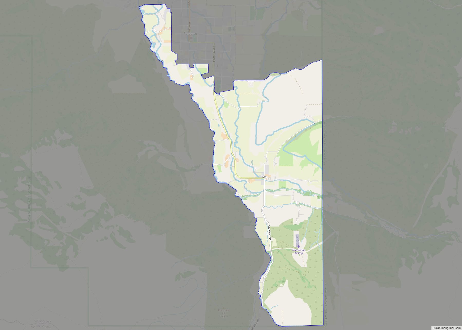
Cornish Road Map
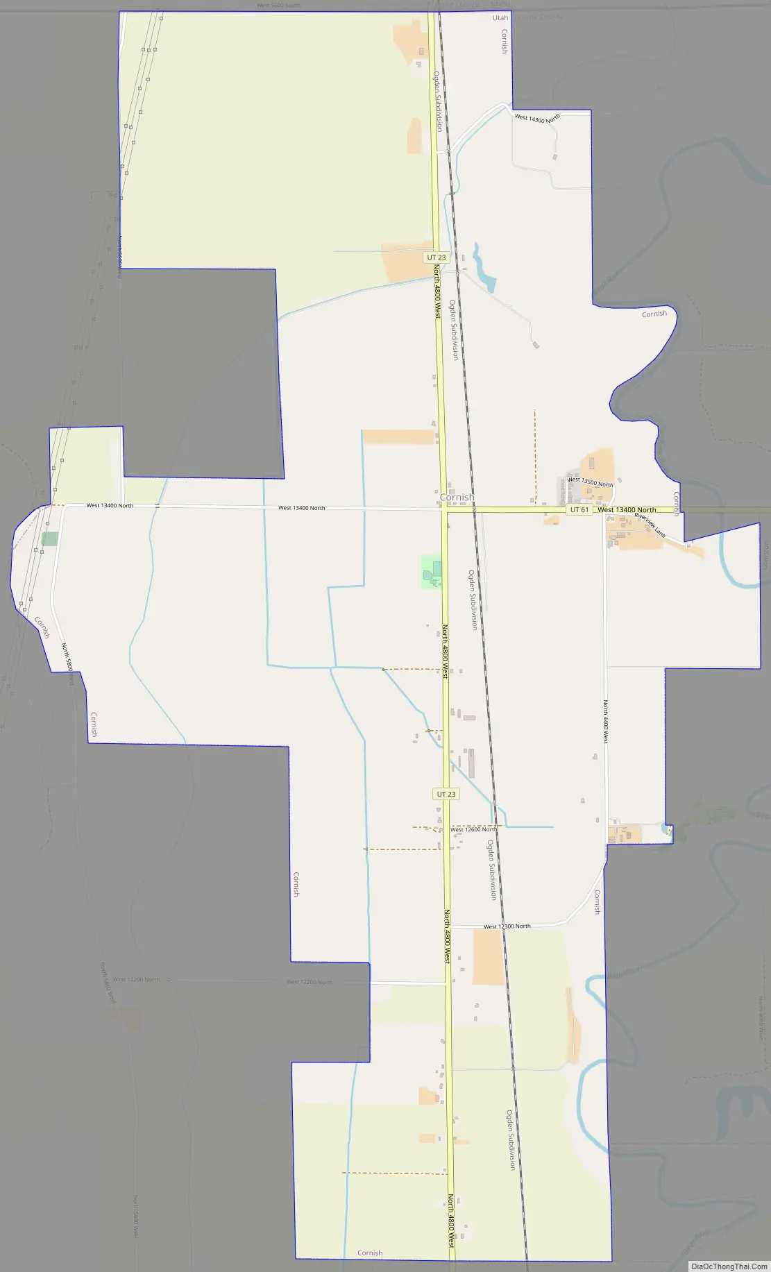
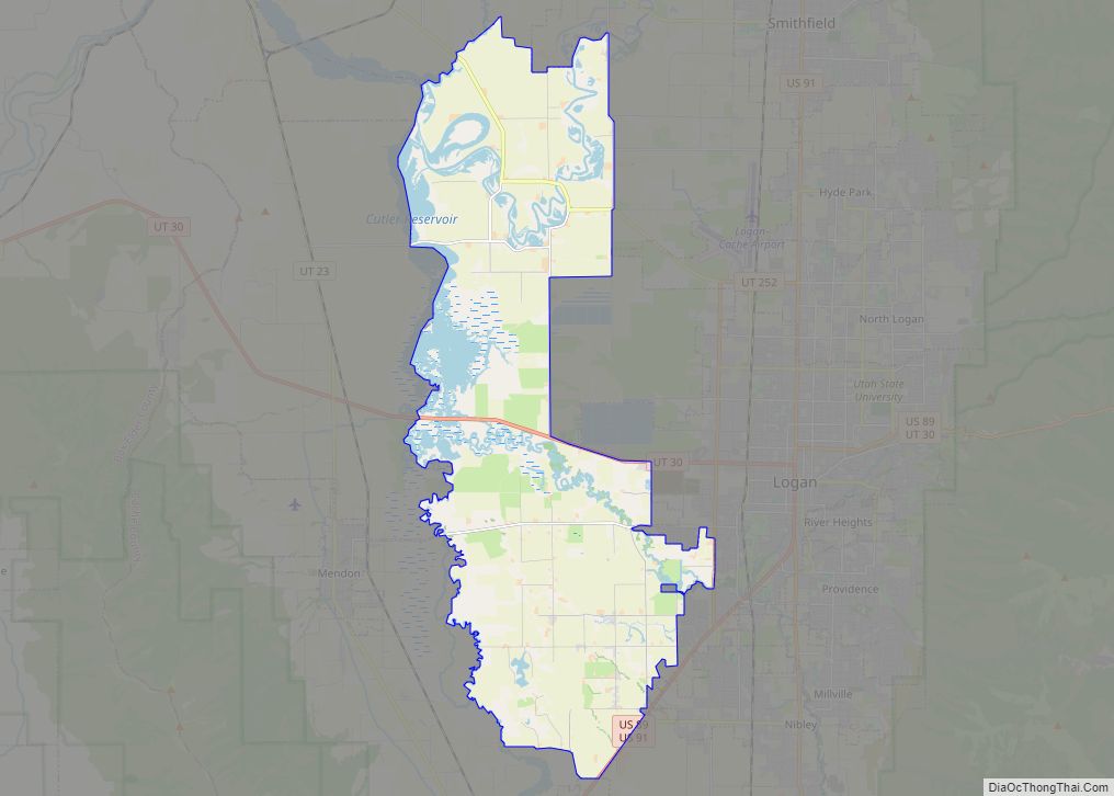
Cornish city Satellite Map

Geography
According to the United States Census Bureau, the town has a total area of 4.8 square miles (12.6 km), of which 4.8 square miles (12.5 km) is land and 0.21% is water.
See also
Map of Utah State and its subdivision: Map of other states:- Alabama
- Alaska
- Arizona
- Arkansas
- California
- Colorado
- Connecticut
- Delaware
- District of Columbia
- Florida
- Georgia
- Hawaii
- Idaho
- Illinois
- Indiana
- Iowa
- Kansas
- Kentucky
- Louisiana
- Maine
- Maryland
- Massachusetts
- Michigan
- Minnesota
- Mississippi
- Missouri
- Montana
- Nebraska
- Nevada
- New Hampshire
- New Jersey
- New Mexico
- New York
- North Carolina
- North Dakota
- Ohio
- Oklahoma
- Oregon
- Pennsylvania
- Rhode Island
- South Carolina
- South Dakota
- Tennessee
- Texas
- Utah
- Vermont
- Virginia
- Washington
- West Virginia
- Wisconsin
- Wyoming