Elsinore is a town in Sevier County, Utah, United States. The population was 847 at the 2010 census.
| Name: | Elsinore town |
|---|---|
| LSAD Code: | 43 |
| LSAD Description: | town (suffix) |
| State: | Utah |
| County: | Sevier County |
| Elevation: | 5,351 ft (1,631 m) |
| Total Area: | 1.33 sq mi (3.46 km²) |
| Land Area: | 1.33 sq mi (3.46 km²) |
| Water Area: | 0.00 sq mi (0.00 km²) |
| Total Population: | 847 |
| Population Density: | 660.67/sq mi (255.01/km²) |
| ZIP code: | 84724 |
| Area code: | 435 |
| FIPS code: | 4922650 |
| GNISfeature ID: | 1440921 |
Online Interactive Map
Click on ![]() to view map in "full screen" mode.
to view map in "full screen" mode.
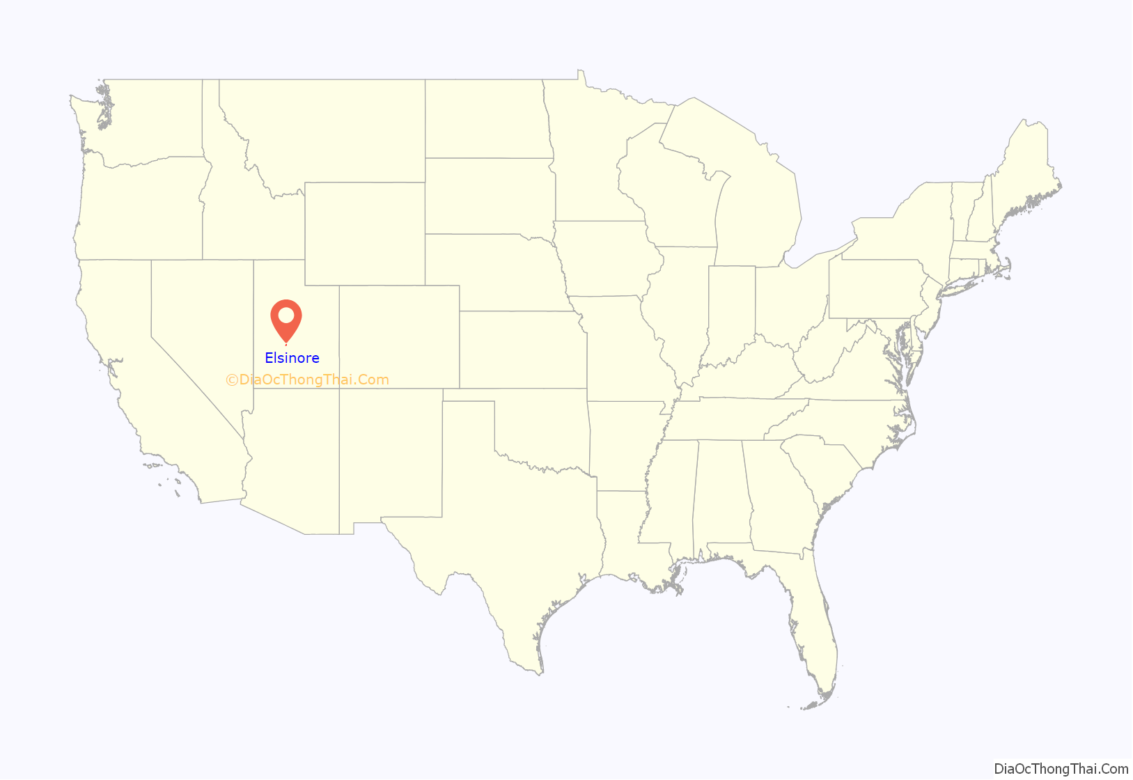
Elsinore location map. Where is Elsinore town?
History
The community was first settled in the spring of 1874 by James C. Jensen, Jens Iver Jensen, and others. The area was settled by Danish converts to the Church of Jesus Christ of Latter-day Saints, and named after Kronborg Castle, known as Elsinore in Hamlet. Helsingør, the city where Kronborg Castle is located, is classically known as Elsinore as well.
The first passenger train arrived on 21 July 1896 from the Denver & Rio Grande Railroad.
Elsinore was home to a Utah-Idaho Sugar Company factory for processing sugar beets into sugar from 1911 to 1929, but was closed due to a sugar beet blight.
On September 29 and October 1, 1921, Elsinore was hit by a series of magnitude six earthquakes. Some buildings were damaged, and residents were frightened from their homes, but no deaths were reported.
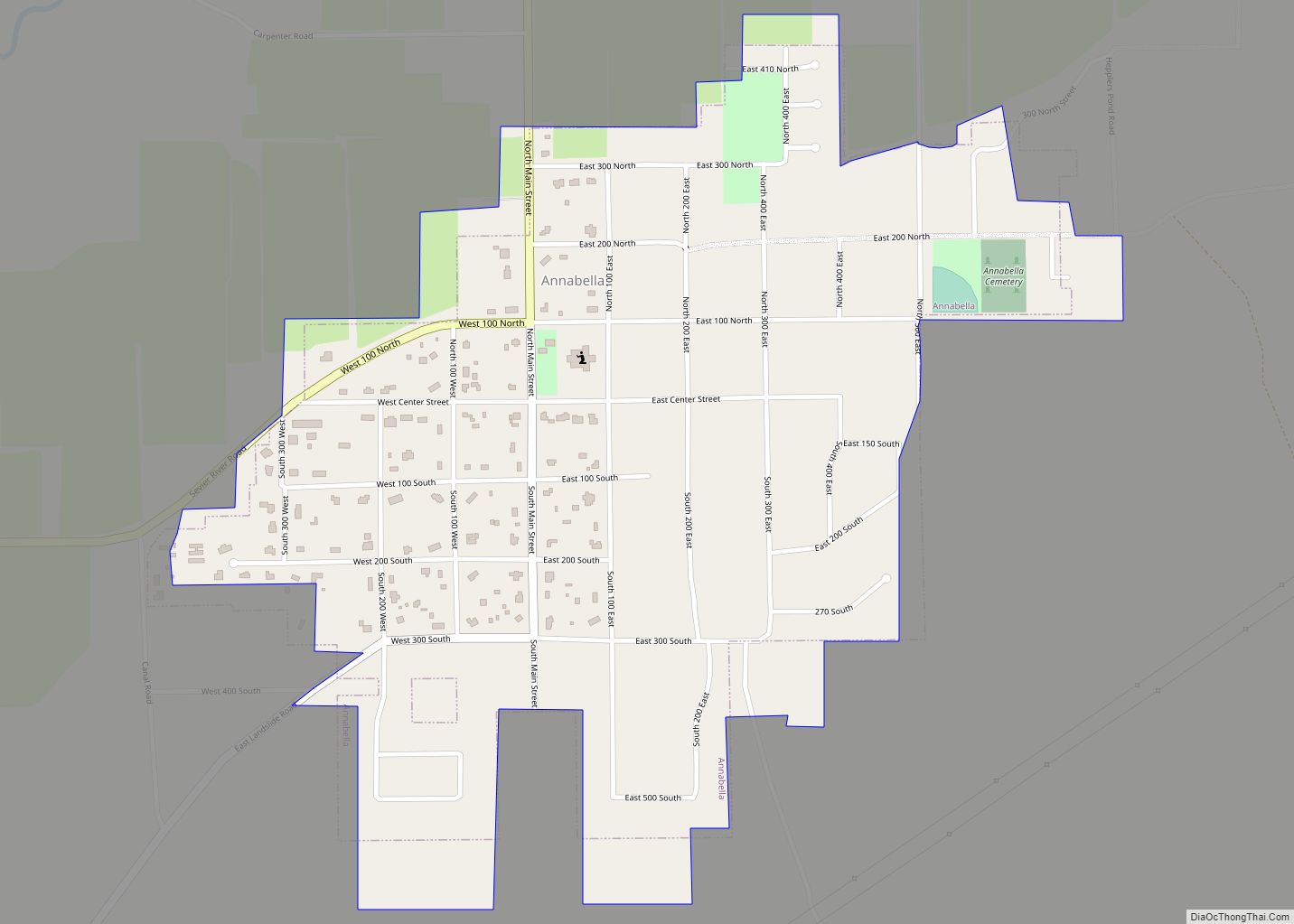
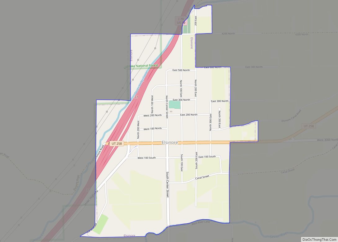
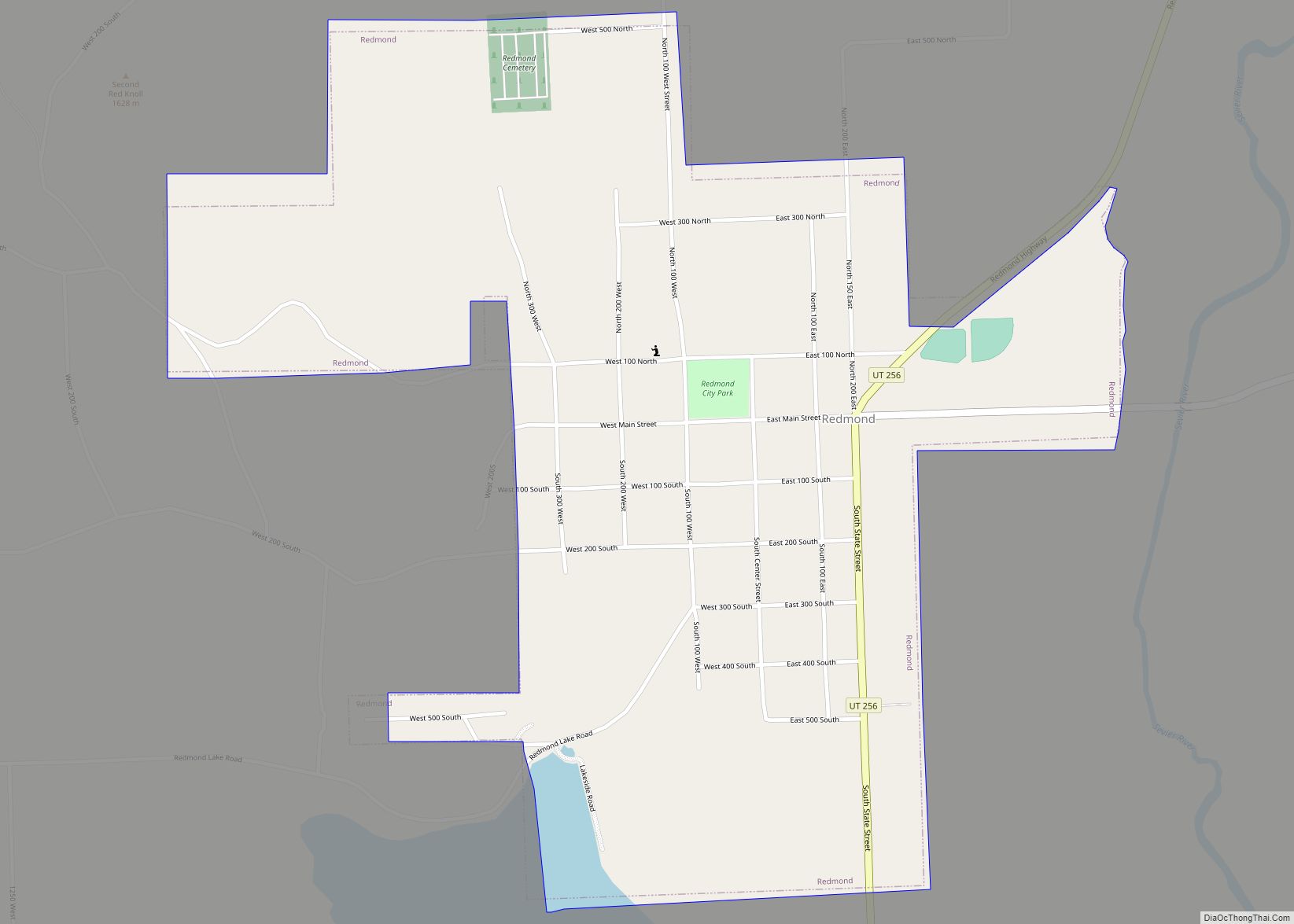
Elsinore Road Map
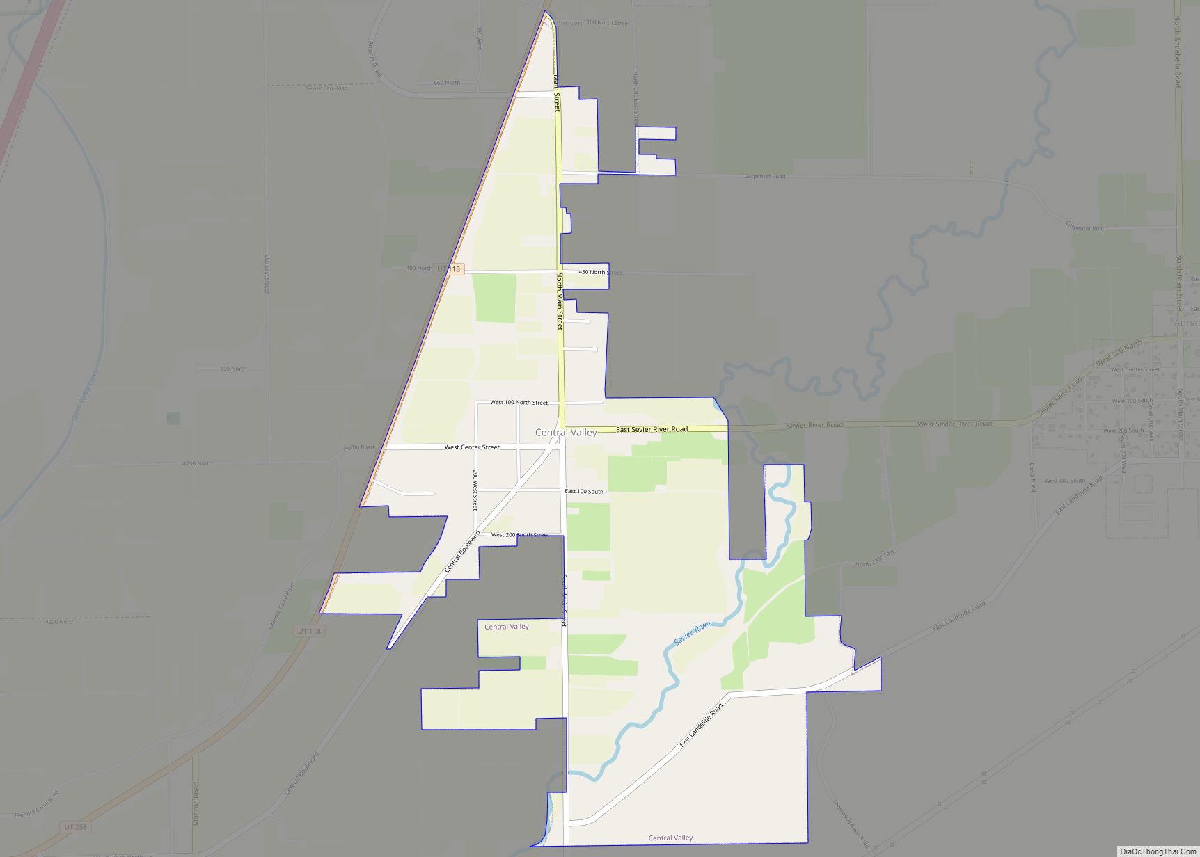
Elsinore city Satellite Map
Geography
According to the United States Census Bureau, the town has a total area of 1.3 square miles (3.3 km), all land.
See also
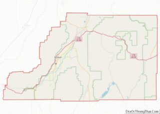
Map of Utah State and its subdivision: Map of other states:- Alabama
- Alaska
- Arizona
- Arkansas
- California
- Colorado
- Connecticut
- Delaware
- District of Columbia
- Florida
- Georgia
- Hawaii
- Idaho
- Illinois
- Indiana
- Iowa
- Kansas
- Kentucky
- Louisiana
- Maine
- Maryland
- Massachusetts
- Michigan
- Minnesota
- Mississippi
- Missouri
- Montana
- Nebraska
- Nevada
- New Hampshire
- New Jersey
- New Mexico
- New York
- North Carolina
- North Dakota
- Ohio
- Oklahoma
- Oregon
- Pennsylvania
- Rhode Island
- South Carolina
- South Dakota
- Tennessee
- Texas
- Utah
- Vermont
- Virginia
- Washington
- West Virginia
- Wisconsin
- Wyoming
