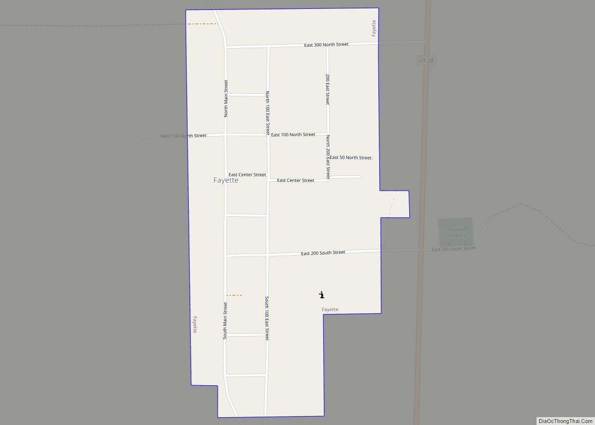
Fayette is a town in Sanpete County, Utah, United States. The population was 204 at the 2000 census.
| Name: | Fayette town |
|---|---|
| LSAD Code: | 43 |
| LSAD Description: | town (suffix) |
| State: | Utah |
| County: | Sanpete County |
| Incorporated: | 1948 |
| Elevation: | 5,052 ft (1,540 m) |
| Total Area: | 0.40 sq mi (1.02 km²) |
| Land Area: | 0.40 sq mi (1.02 km²) |
| Water Area: | 0.00 sq mi (0.00 km²) |
| Total Population: | 242 |
| Population Density: | 665.82/sq mi (257.33/km²) |
| ZIP code: | 84630 |
| Area code: | 435 |
| FIPS code: | 4925070 |
| GNISfeature ID: | 1427897 |
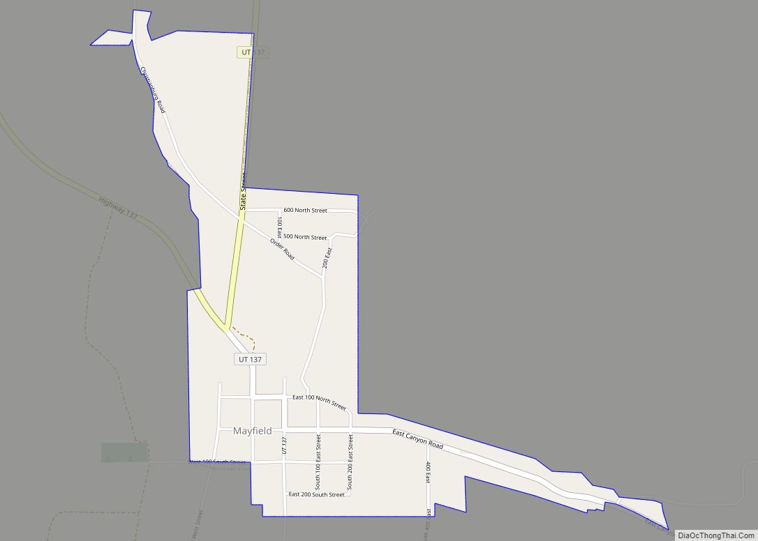
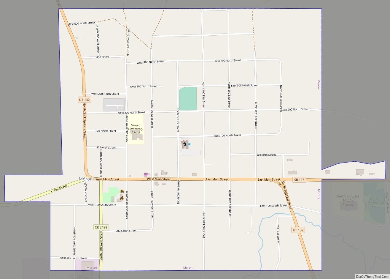
Online Interactive Map
Click on ![]() to view map in "full screen" mode.
to view map in "full screen" mode.
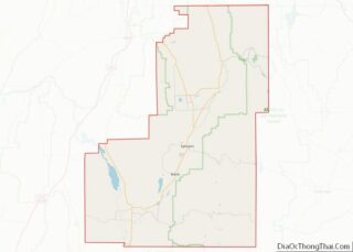
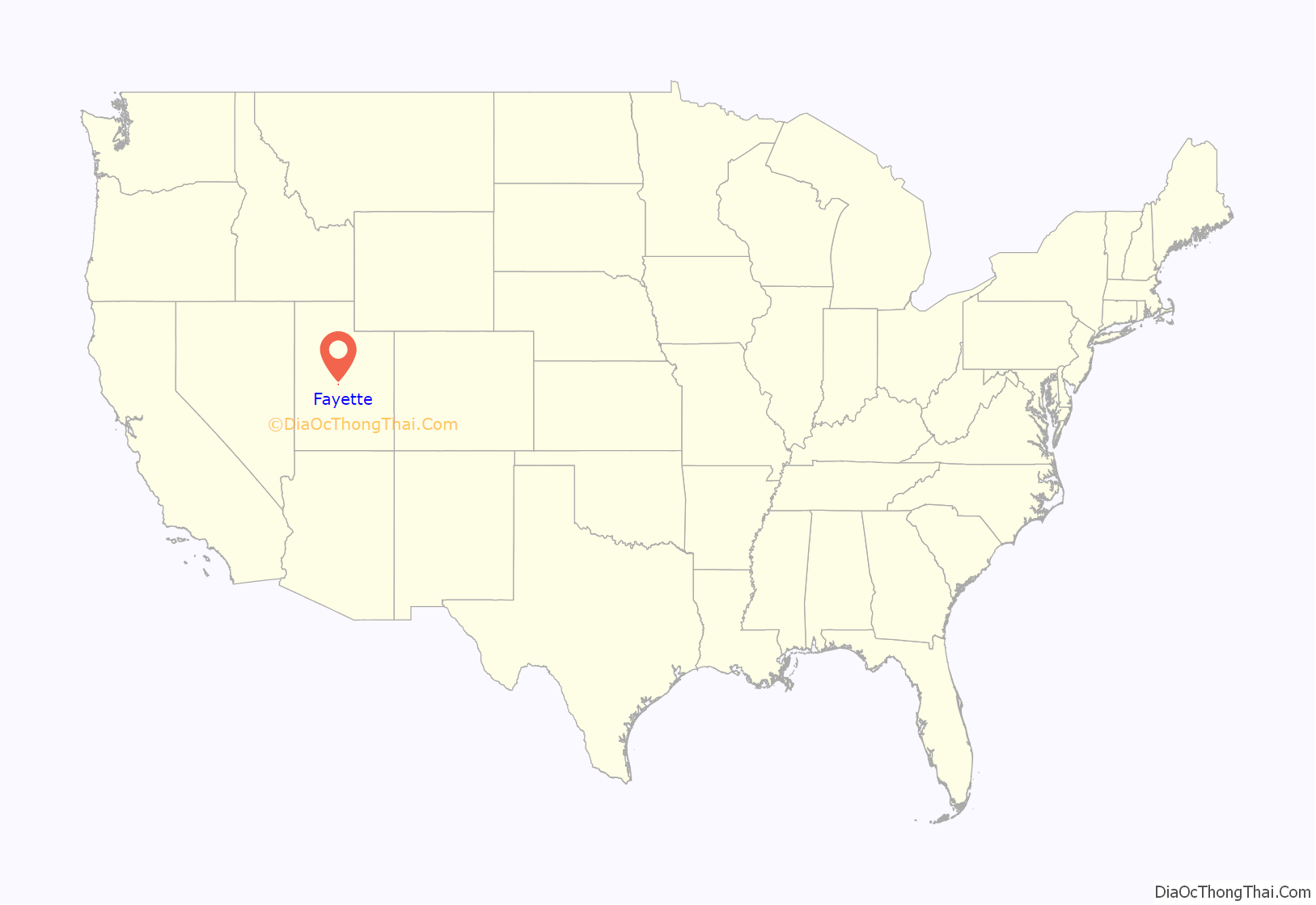
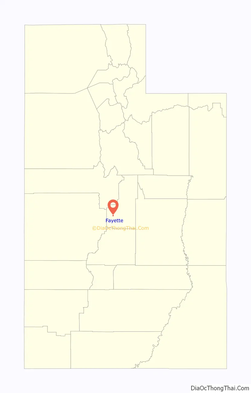
Fayette location map. Where is Fayette town?
History
Fayette was originally called “Warm Creek”, and under the latter name was founded in 1861. A post office called Fayette was in operation between 1864 and 1966. The present name is after Fayette, New York, the town where the LDS Church was founded.
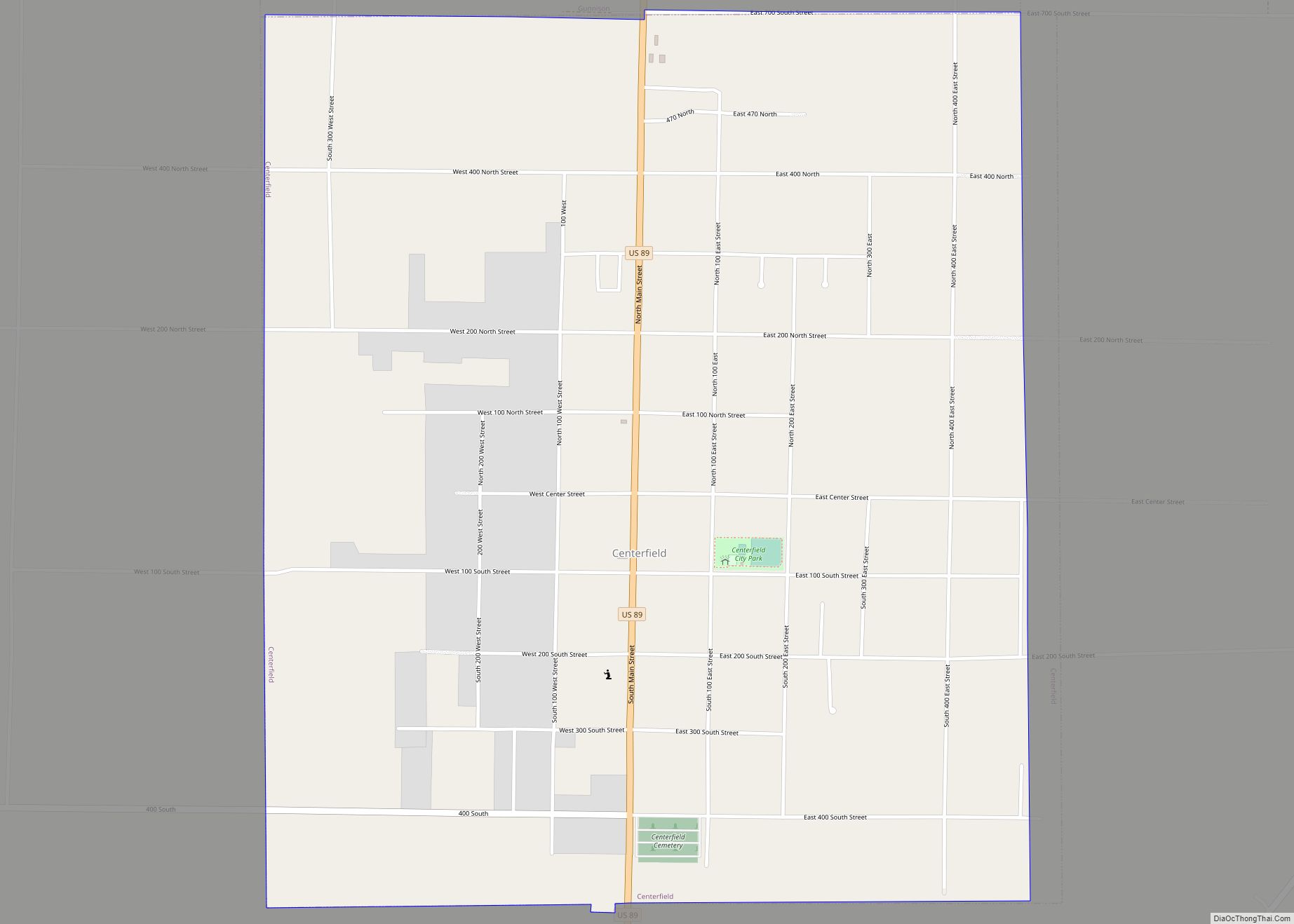
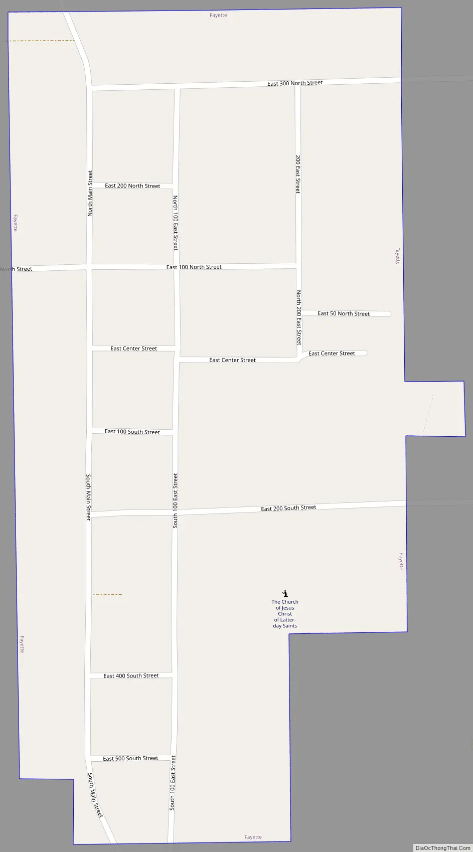
Fayette Road Map
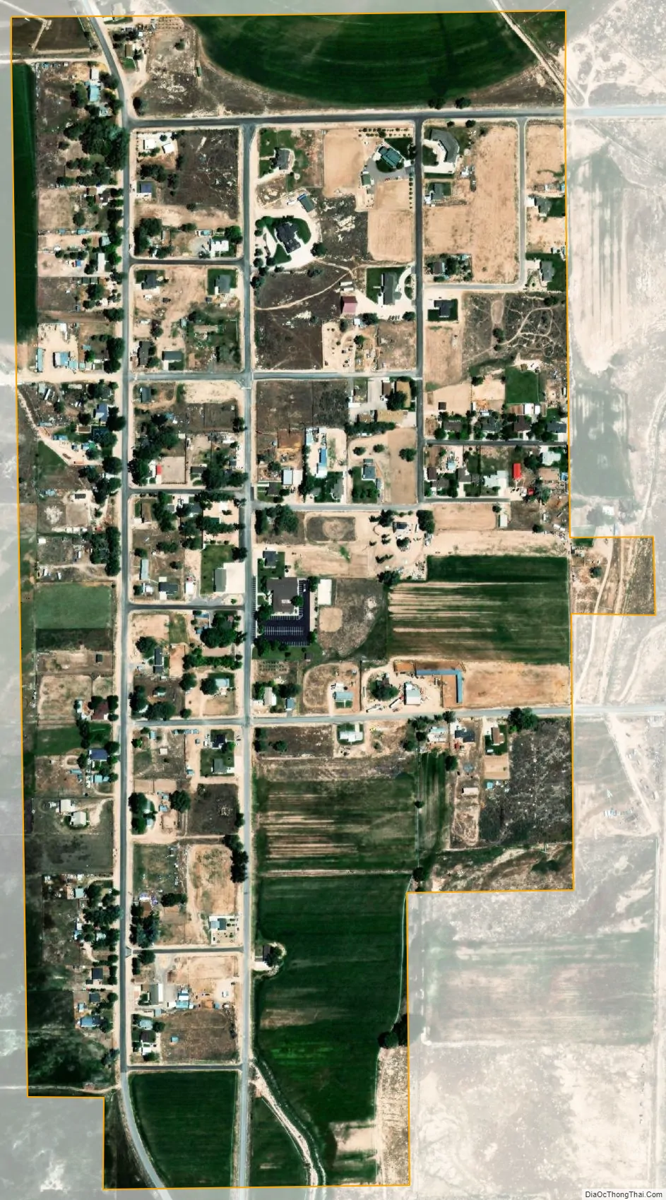
Fayette city Satellite Map
Geography
According to the United States Census Bureau, the town has a total area of 0.5 square mile (1.2 km), all land.
See also
Map of Utah State and its subdivision: Map of other states:- Alabama
- Alaska
- Arizona
- Arkansas
- California
- Colorado
- Connecticut
- Delaware
- District of Columbia
- Florida
- Georgia
- Hawaii
- Idaho
- Illinois
- Indiana
- Iowa
- Kansas
- Kentucky
- Louisiana
- Maine
- Maryland
- Massachusetts
- Michigan
- Minnesota
- Mississippi
- Missouri
- Montana
- Nebraska
- Nevada
- New Hampshire
- New Jersey
- New Mexico
- New York
- North Carolina
- North Dakota
- Ohio
- Oklahoma
- Oregon
- Pennsylvania
- Rhode Island
- South Carolina
- South Dakota
- Tennessee
- Texas
- Utah
- Vermont
- Virginia
- Washington
- West Virginia
- Wisconsin
- Wyoming