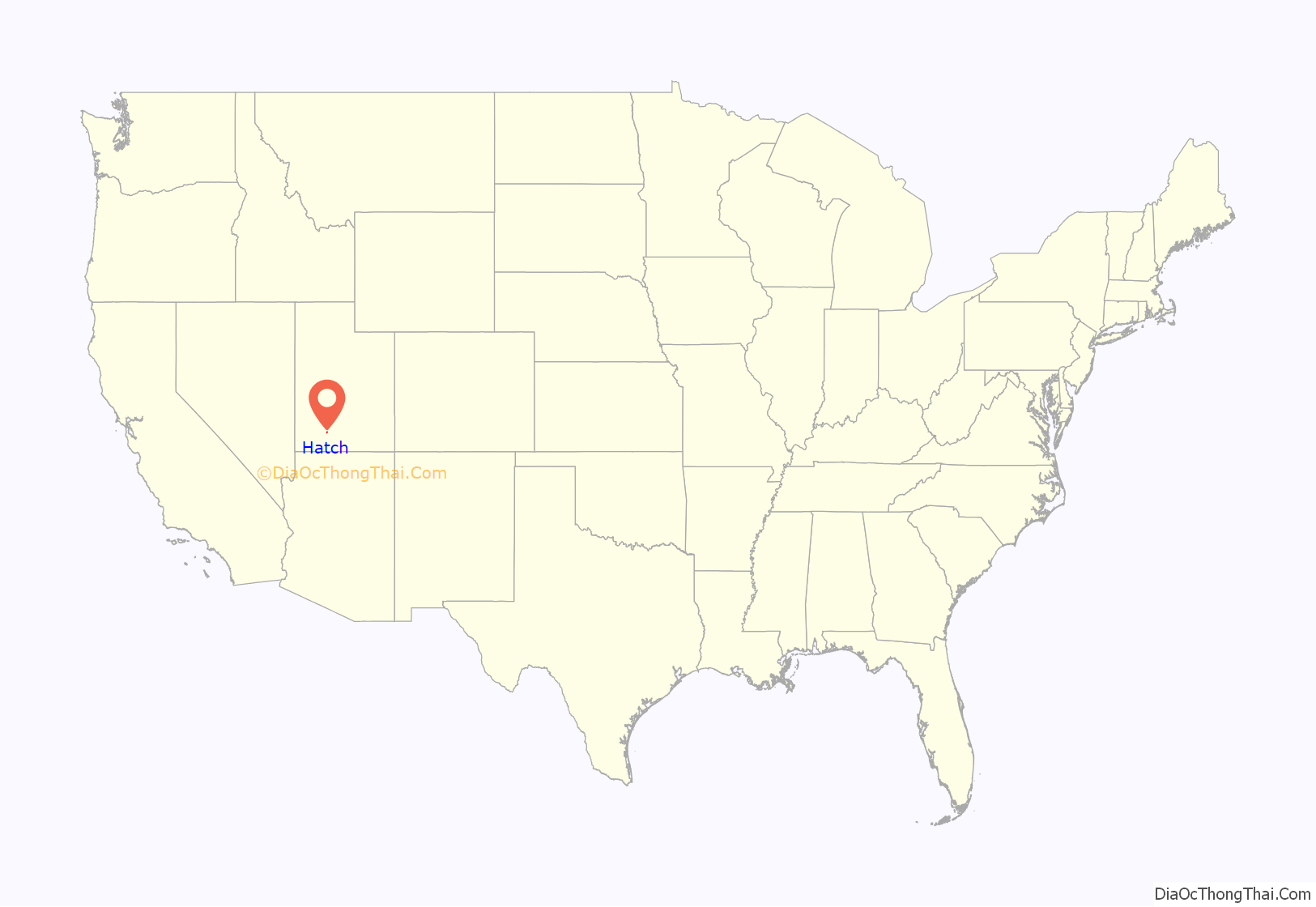
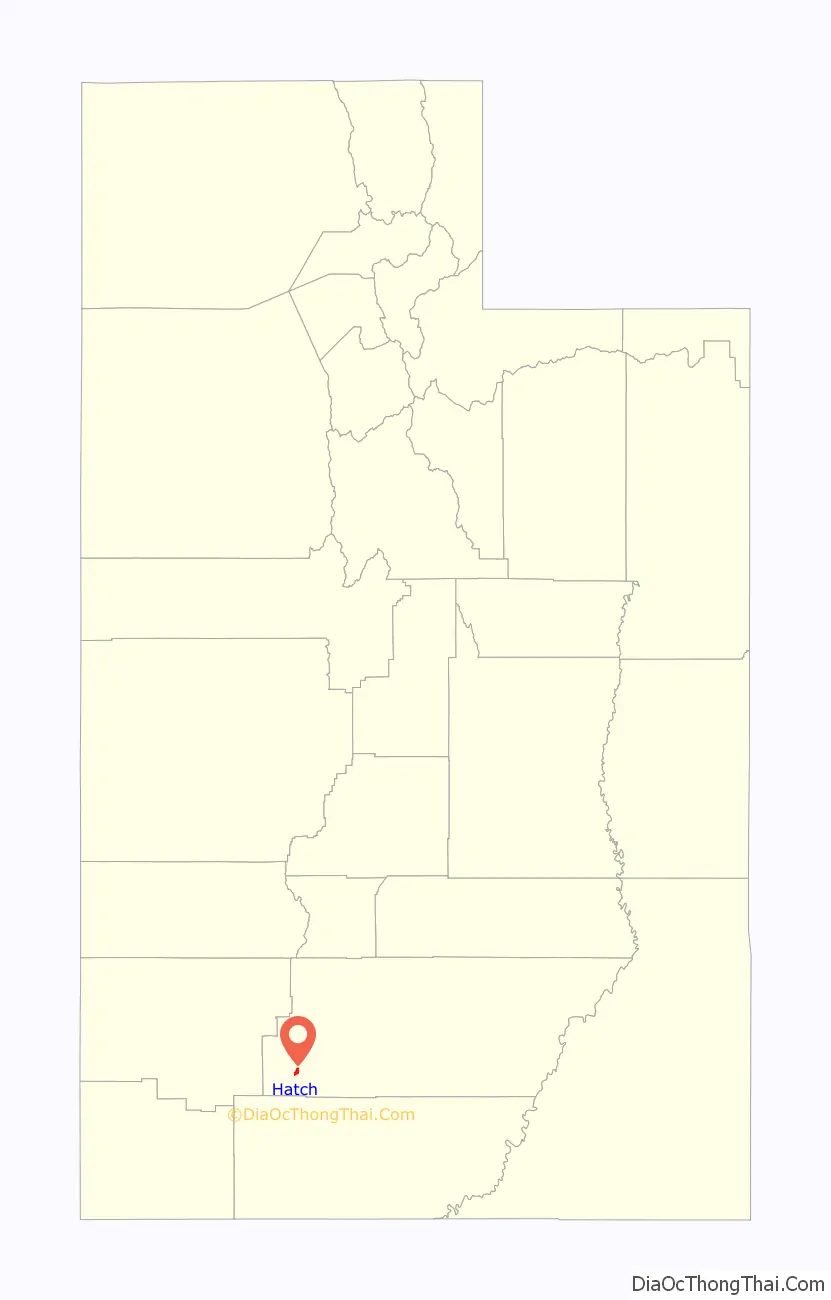
Hatch is a town in Garfield County, Utah, United States. The population was 133 at the 2010 census. It is 260 miles (420 km) south of Salt Lake City.
| Name: | Hatch town |
|---|---|
| LSAD Code: | 43 |
| LSAD Description: | town (suffix) |
| State: | Utah |
| County: | Garfield County |
| Incorporated: | January 3, 1934 |
| Elevation: | 6,919 ft (2,109 m) |
| Total Area: | 1.82 sq mi (4.72 km²) |
| Land Area: | 1.82 sq mi (4.72 km²) |
| Water Area: | 0.00 sq mi (0.00 km²) |
| Total Population: | 133 |
| Population Density: | 77.85/sq mi (30.06/km²) |
| ZIP code: | 84735 |
| Area code: | 435 |
| FIPS code: | 4933760 |
| GNISfeature ID: | 1428572 |
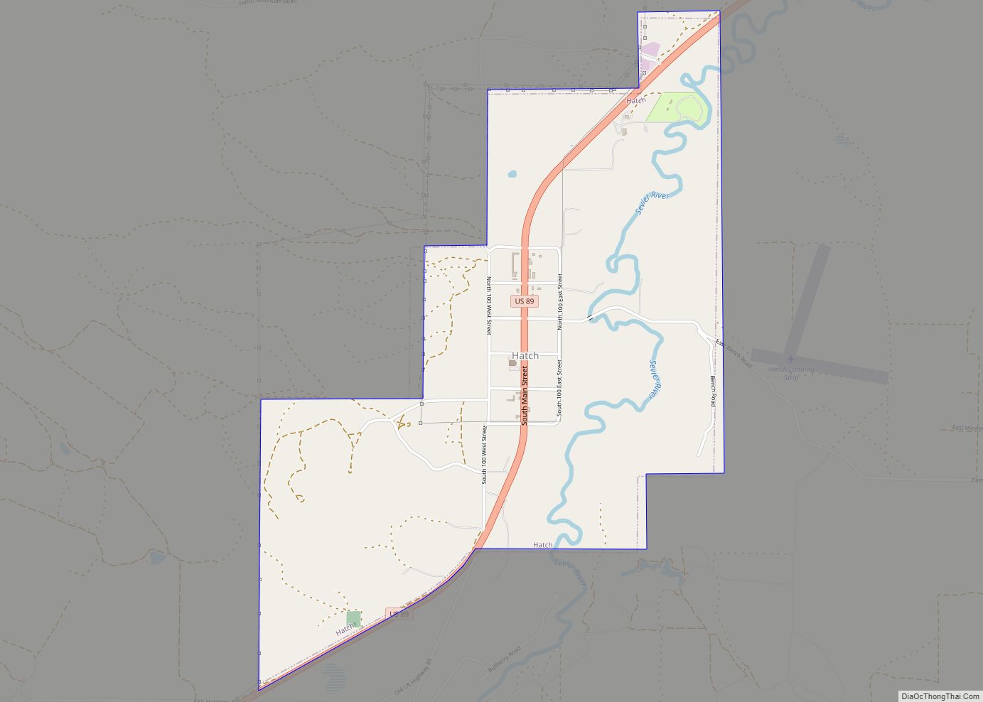
Online Interactive Map
Click on ![]() to view map in "full screen" mode.
to view map in "full screen" mode.
Hatch location map. Where is Hatch town?
History
Hatch was originally called “Mammoth”, and under the latter name was settled in 1872. A post office called Hatch has been in operation since 1904. The present name is after Meltier Hatch, a pioneer citizen.
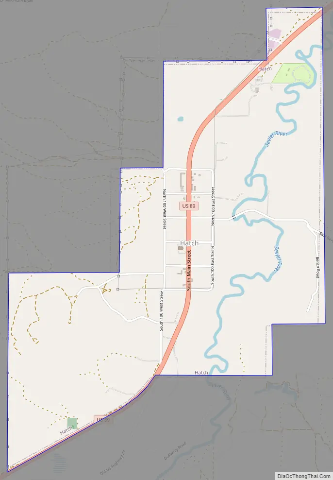
Hatch Road Map
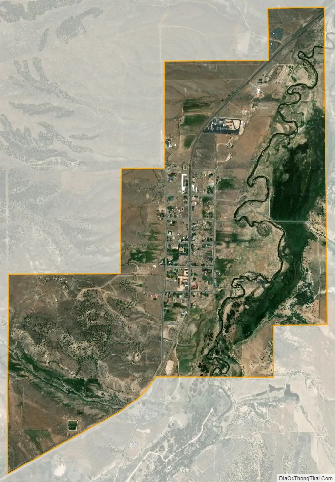
Hatch city Satellite Map
Geography
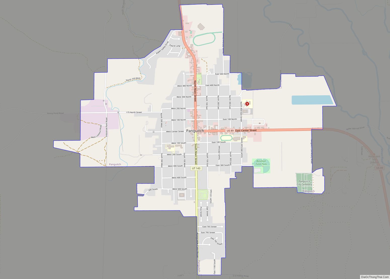
Hatch is located in southwestern Garfield County, in the valley of the Sevier River near its headwaters. U.S. Route 89 passes through the town, leading north 15 miles (24 km) to Panguitch, the county seat, and south 26 miles (42 km) to Glendale.
According to the United States Census Bureau, the town has a total area of 0.46 square miles (1.2 km), all land.
See also
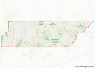
Map of Utah State and its subdivision: Map of other states:- Alabama
- Alaska
- Arizona
- Arkansas
- California
- Colorado
- Connecticut
- Delaware
- District of Columbia
- Florida
- Georgia
- Hawaii
- Idaho
- Illinois
- Indiana
- Iowa
- Kansas
- Kentucky
- Louisiana
- Maine
- Maryland
- Massachusetts
- Michigan
- Minnesota
- Mississippi
- Missouri
- Montana
- Nebraska
- Nevada
- New Hampshire
- New Jersey
- New Mexico
- New York
- North Carolina
- North Dakota
- Ohio
- Oklahoma
- Oregon
- Pennsylvania
- Rhode Island
- South Carolina
- South Dakota
- Tennessee
- Texas
- Utah
- Vermont
- Virginia
- Washington
- West Virginia
- Wisconsin
- Wyoming