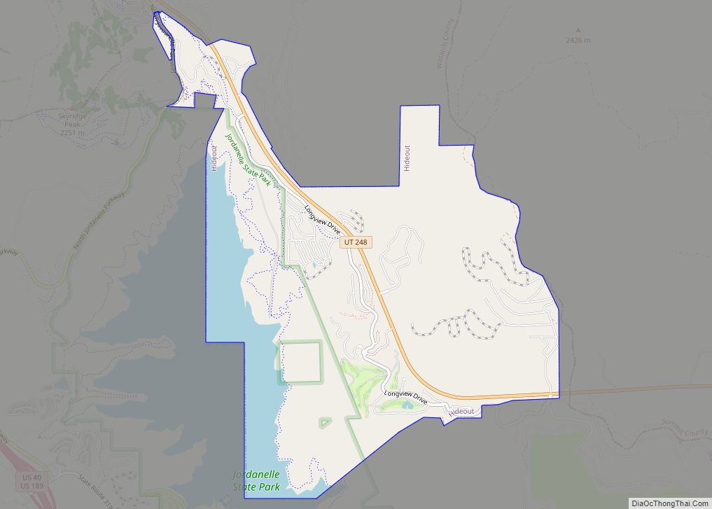
Hideout is a town in the northwestern corner of Wasatch County, Utah, United States, in the northern part of the state. Lying just to the north and east of Jordanelle Reservoir along Utah State Route 248 (SR-248), the town was incorporated in 2008 under short-lived state law. The population was 656 at the 2010 census.
| Name: | Hideout town |
|---|---|
| LSAD Code: | 43 |
| LSAD Description: | town (suffix) |
| State: | Utah |
| County: | Wasatch County |
| Incorporated: | July 22, 2008 |
| Elevation: | 6,588 ft (2,008 m) |
| Total Area: | 4.06 sq mi (10.52 km²) |
| Land Area: | 3.48 sq mi (9.02 km²) |
| Water Area: | 0.58 sq mi (1.50 km²) |
| Total Population: | 656 |
| Population Density: | 286.45/sq mi (110.61/km²) |
| ZIP code: | 84036 |
| Area code: | 435 |
| FIPS code: | 4935120 |
| GNISfeature ID: | 2547784 |
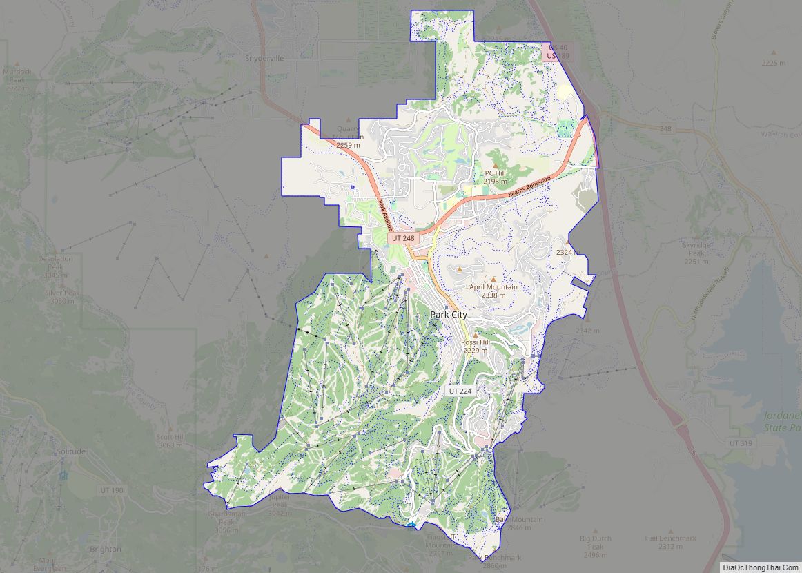
Online Interactive Map
Click on ![]() to view map in "full screen" mode.
to view map in "full screen" mode.
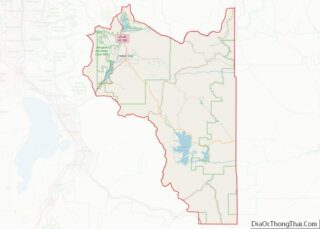
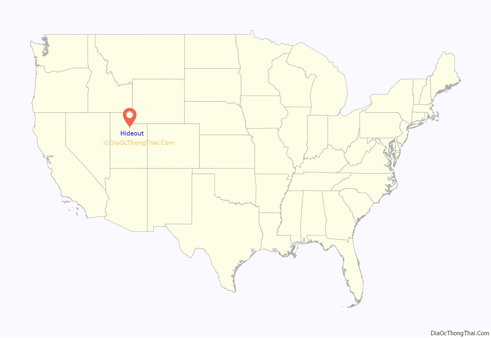
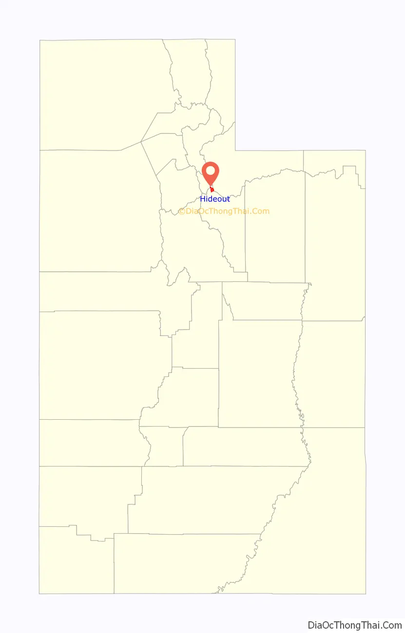
Hideout location map. Where is Hideout town?
History
In 2005, Mustang Development Company and Wasatch County entered into a development agreement to develop Hideout Canyon. In 2007, Mustang successfully lobbied the Utah State Legislature to pass H.B. 466. This bill, backed by the Utah League of Cities and Towns and passed unanimously by the Legislature, amended the state law on petitions to incorporate a town. The new provisions allowed a petition for a new town with 100–999 residents to be filed with just the signatures of the owners of a majority of the land area, even a single majority landowner. There was no requirement to ask the residents’ consent. If the petition met the conditions of state law and its signers owned the majority of the land by value, the new law required the county government to grant the petition and appoint a mayor and town council from a list of individuals approved by the petitioners. In July 2007, Ruby’s Inn, in Garfield County, became the first to take advantage of the new law, incorporating as Bryce Canyon City. A petition to incorporate Hideout was filed in November 2007 by Richard Sprung, a real estate agent for Hideout Canyon. By then two other such petitions were pending in Wasatch County: Aspen (ultimately unsuccessful) and Independence.
In February 2008, the Wasatch County Council voted to allow the Todd Hollow Apartments, home to the vast majority of the proposed town’s population, to opt-out of the incorporation plan, citing a state law permitting “non-urban” properties to opt-out. The Council then denied the petition for insufficient population. By March 2008, the Legislature had amended the law again, unanimously passing H.B. 164, which required a petition for incorporation to have the support of half the residents, and provided for an elected mayor and town council. There must also be at least five petition sponsors who were not allowed to own more than 40 percent of the land. An effort to make the new law retroactive failed, and petitions filed under H.B. 466 went forward. Sprung sued in state court, insisting that Todd Hollow was urban. The court ruled in Sprung’s favor, ordering the county to grant the petition. The County Council voted to grant Hideout incorporation in June 2008.
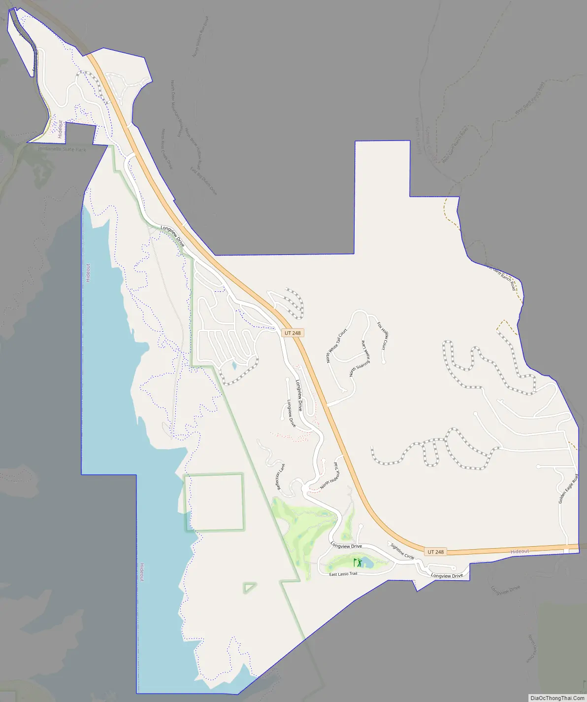
Hideout Road Map
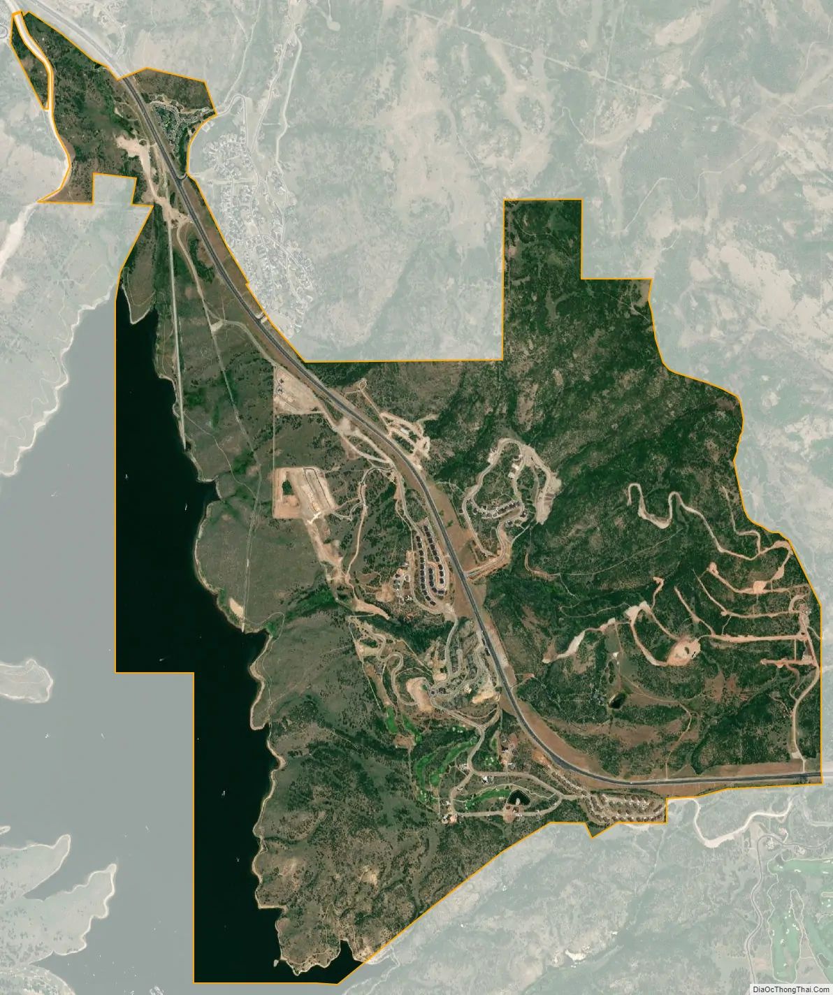
Hideout city Satellite Map
Geography
Hideout lies about 6 miles (9.7 km) east-southeast of Park City, in an area of the Wasatch Mountains known for its ski resorts and other upscale recreation. The Hideout town boundaries extend from the Todd Hollow Apartments, at the northernmost point of Jordanelle Reservoir, south and east along SR-248, running past the submerged ruins of the ghost town of Keetley. It stops just at the Summit County line, some 4 miles (6.4 km) west-southwest of Kamas. The town includes the luxury planned communities of Hideout Canyon and Soaring Hawk, both still under development.
Climate
Large seasonal temperature differences typify this climatic region, with warm to hot summers and cold (sometimes severely cold) winters. According to Weather.com, Hideout experiences an average daytime high temperature of 87 degrees in July. The highest recorded temperature was 101 °F in 2002. December is the average coolest month. The lowest recorded temperature was -31 °F in 1990. October is the average wettest month, with 1.76 inches of precipitation.
See also
Map of Utah State and its subdivision: Map of other states:- Alabama
- Alaska
- Arizona
- Arkansas
- California
- Colorado
- Connecticut
- Delaware
- District of Columbia
- Florida
- Georgia
- Hawaii
- Idaho
- Illinois
- Indiana
- Iowa
- Kansas
- Kentucky
- Louisiana
- Maine
- Maryland
- Massachusetts
- Michigan
- Minnesota
- Mississippi
- Missouri
- Montana
- Nebraska
- Nevada
- New Hampshire
- New Jersey
- New Mexico
- New York
- North Carolina
- North Dakota
- Ohio
- Oklahoma
- Oregon
- Pennsylvania
- Rhode Island
- South Carolina
- South Dakota
- Tennessee
- Texas
- Utah
- Vermont
- Virginia
- Washington
- West Virginia
- Wisconsin
- Wyoming