Hyrum is a city in Cache County, Utah. The population was 7,609 at the time of the 2010 census, with an estimated population of 8,403 in 2018. It is included in the Logan metropolitan area.
| Name: | Hyrum city |
|---|---|
| LSAD Code: | 25 |
| LSAD Description: | city (suffix) |
| State: | Utah |
| County: | Cache County |
| Elevation: | 4,698 ft (1,432 m) |
| Total Area: | 6.19 sq mi (16.03 km²) |
| Land Area: | 6.18 sq mi (16.00 km²) |
| Water Area: | 0.01 sq mi (0.03 km²) |
| Total Population: | 7,609 |
| Population Density: | 1,395.11/sq mi (538.66/km²) |
| ZIP code: | 84319 |
| Area code: | 435 |
| FIPS code: | 4937500 |
| GNISfeature ID: | 1441968 |
| Website: | hyrumcity.org |
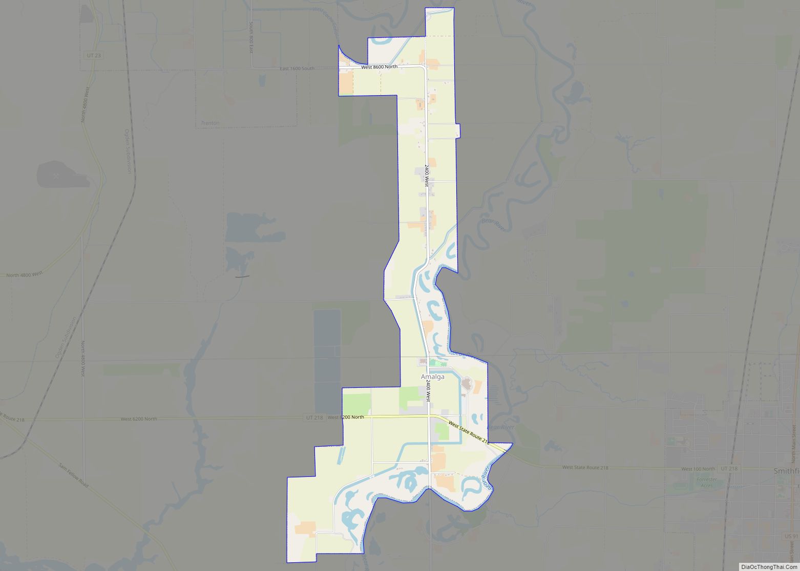
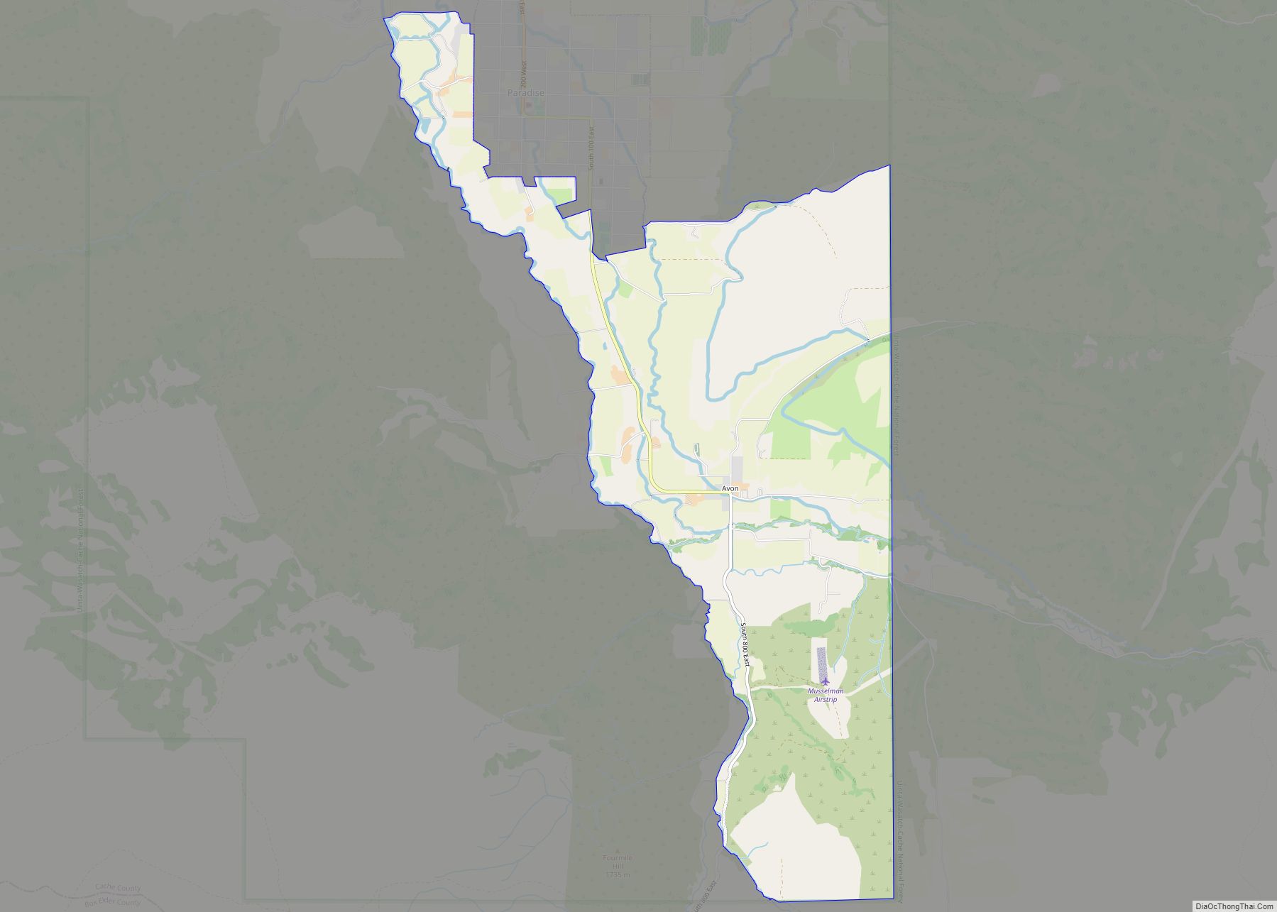
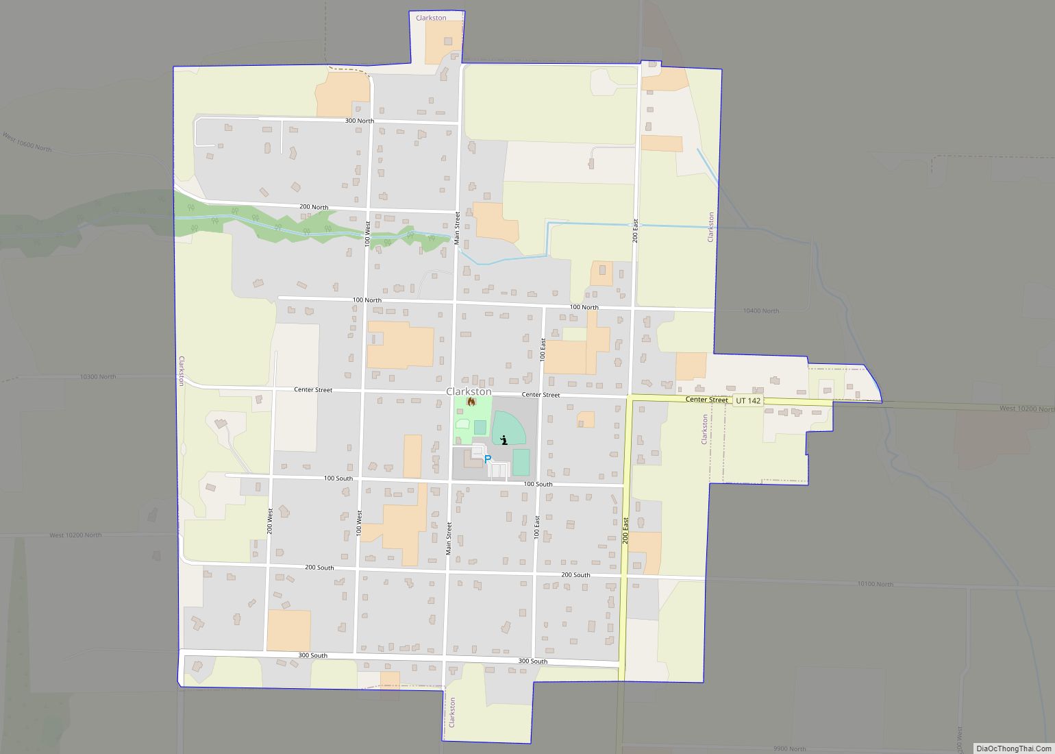
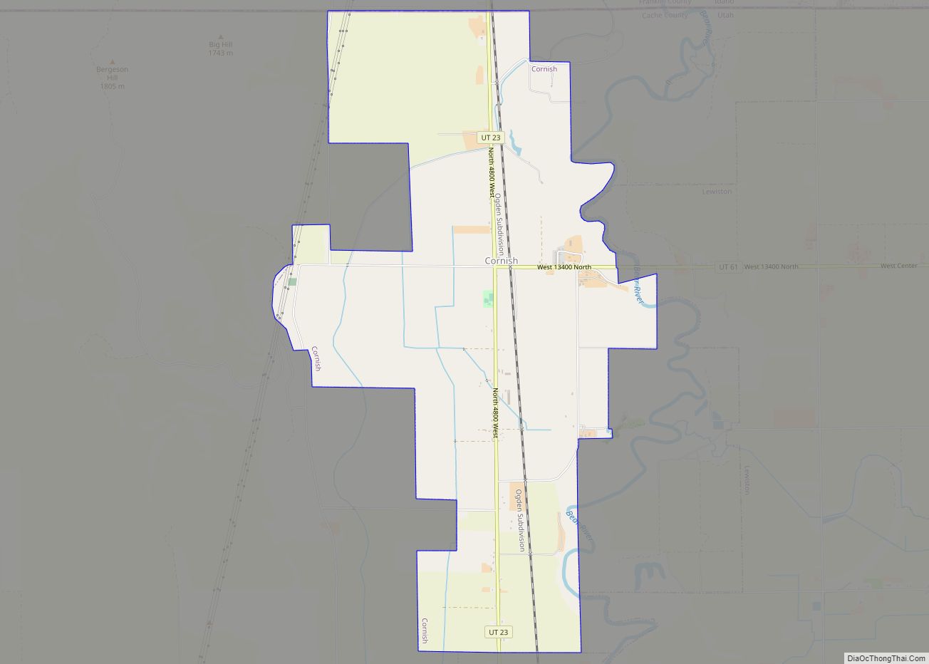
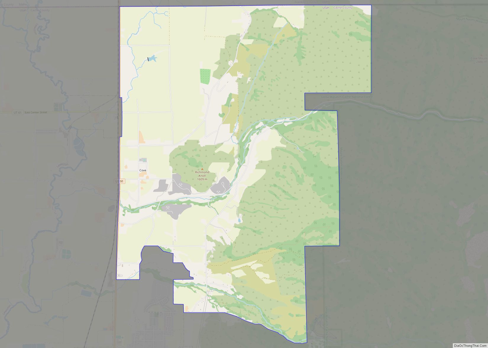
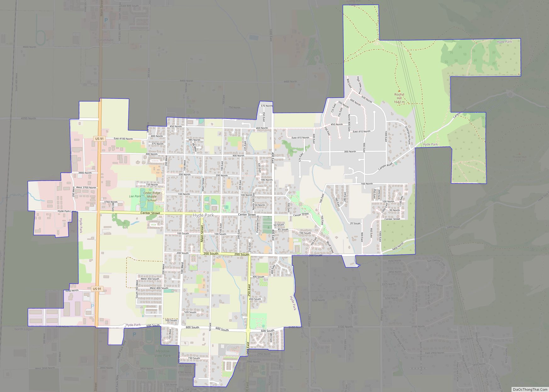
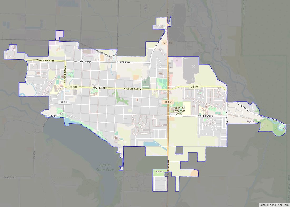
Online Interactive Map
Click on ![]() to view map in "full screen" mode.
to view map in "full screen" mode.
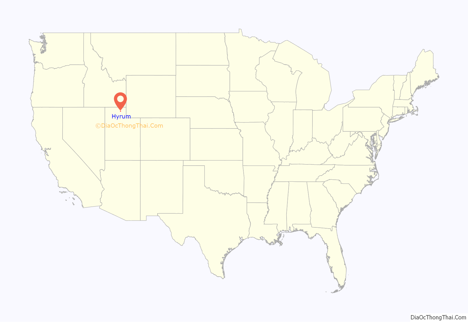
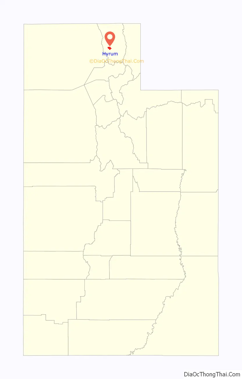
Hyrum location map. Where is Hyrum city?
History
Hyrum was founded in 1860 by a group of 23 families, mainly either Danish immigrants or sons of Ezra T. Benson. Benson organized an LDS ward there in May 1860. The town got a post office in 1861. By 1900 the population had grown to the point that the ward was divided in three. Hyrum had 1,869 inhabitants in 1930.
On December 12, 2006, U.S. Immigration and Customs Enforcement (I.C.E) staged a coordinated predawn raid at E.A. Miller, a meat packing plant in Hyrum, and at five other Swift & Company plants located in the western United States, interviewing workers and hauling off hundreds in buses.
On December 30, 2017, an elementary-school art teacher was reprimanded, and eventually terminated, after showing classical nude images in the classroom setting. The images were from materials provided by the school.
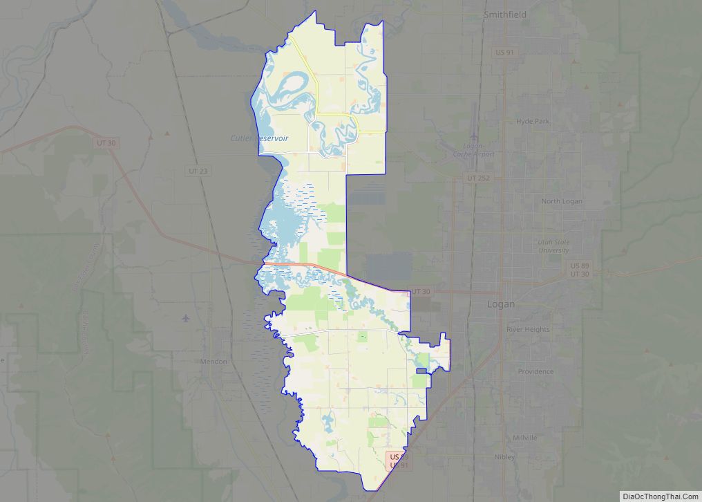
Hyrum Road Map
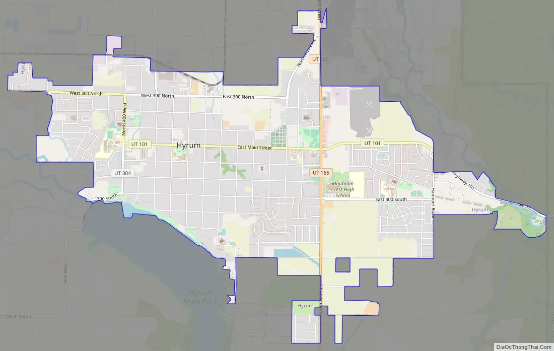
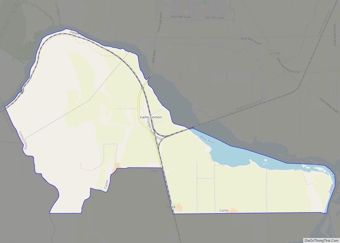
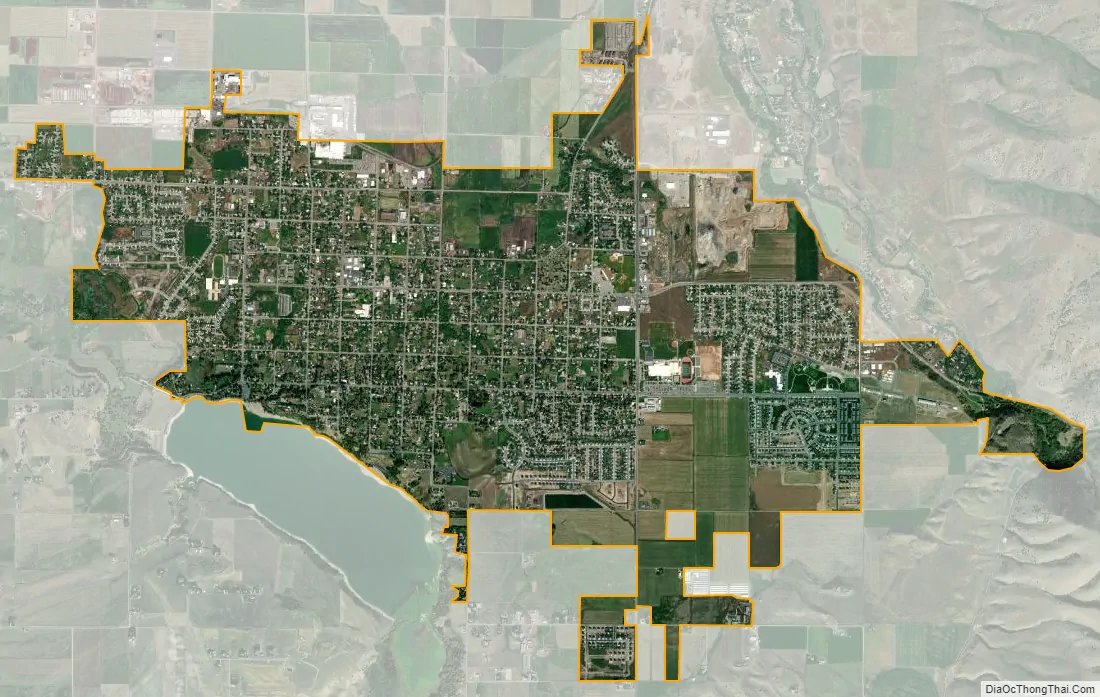
Hyrum city Satellite Map
Geography
Hyrum is located near the southern end of the Cache Valley at 41°38′3″N 111°51′8″W / 41.63417°N 111.85222°W / 41.63417; -111.85222 (41.6341, -111.8522). It is bordered to the southwest by Hyrum Reservoir.
According to the United States Census Bureau, the city has a total area of 4.8 square miles (12.5 km), of which 0.01 square miles (0.03 km), or 0.26%, is water.
Climate
This climatic region is typified by large seasonal temperature differences, with warm to hot (and often humid) summers and cold (sometimes severely cold) winters. According to the Köppen Climate Classification system, Hyrum has a humid continental climate, abbreviated “Dfb” on climate maps.
See also
Map of Utah State and its subdivision: Map of other states:- Alabama
- Alaska
- Arizona
- Arkansas
- California
- Colorado
- Connecticut
- Delaware
- District of Columbia
- Florida
- Georgia
- Hawaii
- Idaho
- Illinois
- Indiana
- Iowa
- Kansas
- Kentucky
- Louisiana
- Maine
- Maryland
- Massachusetts
- Michigan
- Minnesota
- Mississippi
- Missouri
- Montana
- Nebraska
- Nevada
- New Hampshire
- New Jersey
- New Mexico
- New York
- North Carolina
- North Dakota
- Ohio
- Oklahoma
- Oregon
- Pennsylvania
- Rhode Island
- South Carolina
- South Dakota
- Tennessee
- Texas
- Utah
- Vermont
- Virginia
- Washington
- West Virginia
- Wisconsin
- Wyoming