Kenilworth is a census-designated place in northern Carbon County, Utah, United States.
| Name: | Kenilworth CDP |
|---|---|
| LSAD Code: | 57 |
| LSAD Description: | CDP (suffix) |
| State: | Utah |
| County: | Carbon County |
| Founded: | 1908 |
| Elevation: | 6,316 ft (1,925 m) |
| Total Area: | 0.75 sq mi (1.95 km²) |
| Land Area: | 0.75 sq mi (1.95 km²) |
| Water Area: | 0.0 sq mi (0.0 km²) |
| Total Population: | 180 |
| Population Density: | 239/sq mi (92.4/km²) |
| FIPS code: | 4941020 |
| GNISfeature ID: | 2584769 |
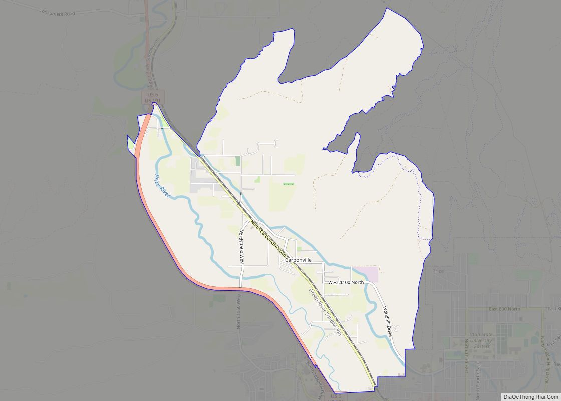
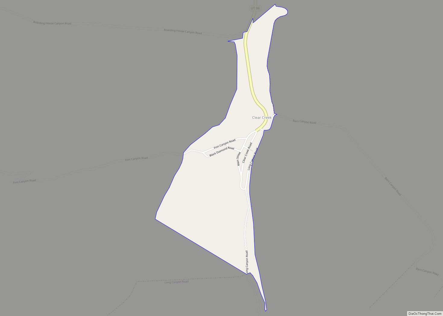
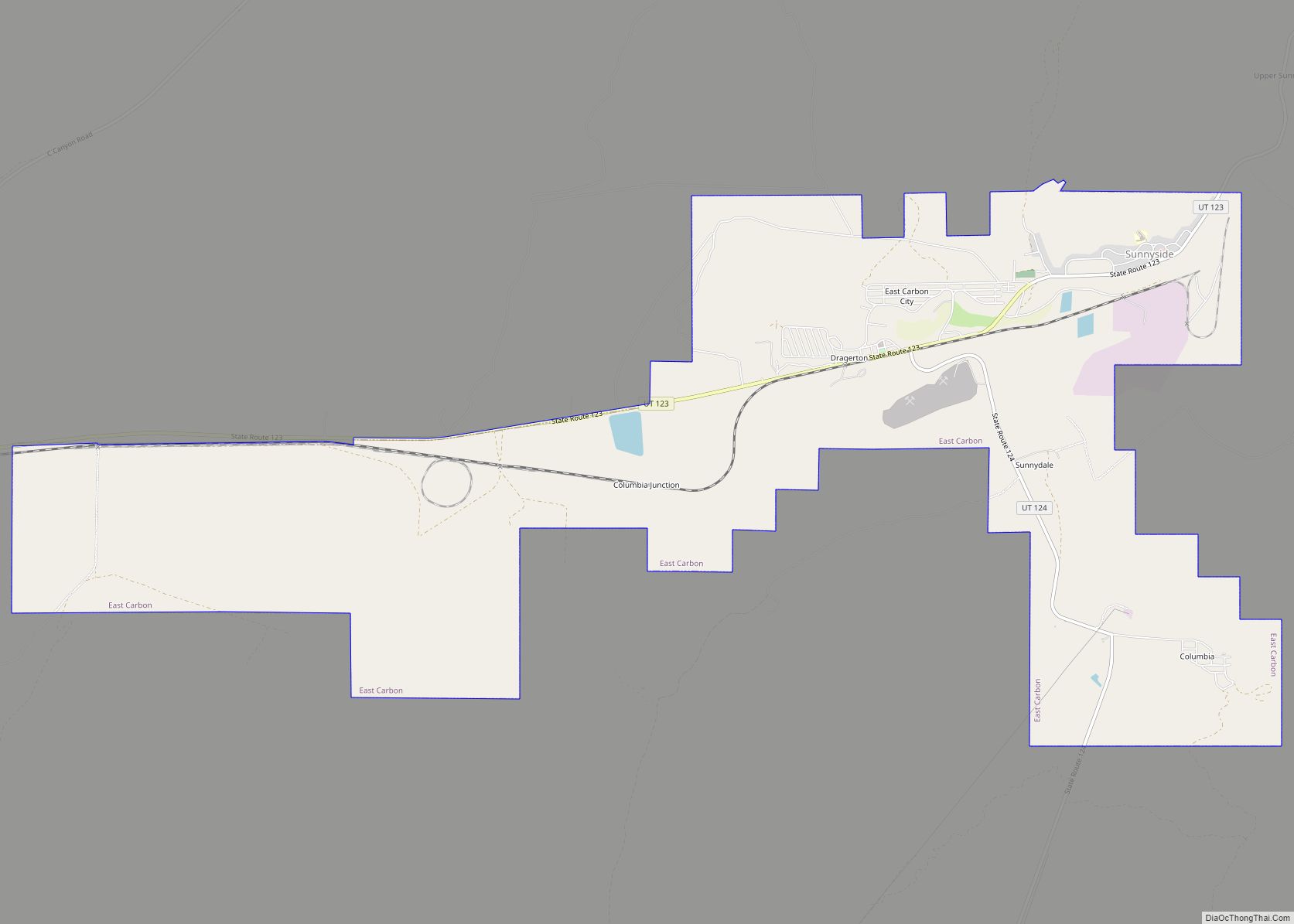
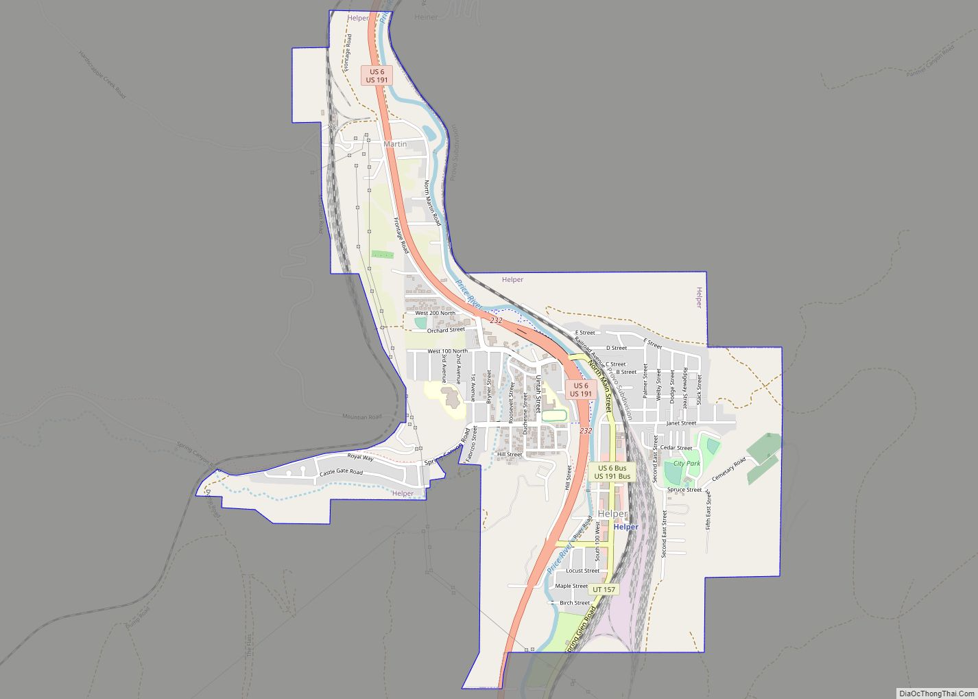
Online Interactive Map
Click on ![]() to view map in "full screen" mode.
to view map in "full screen" mode.
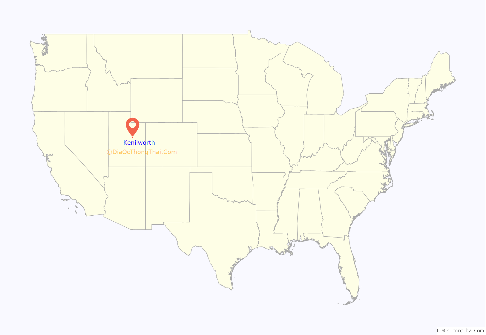
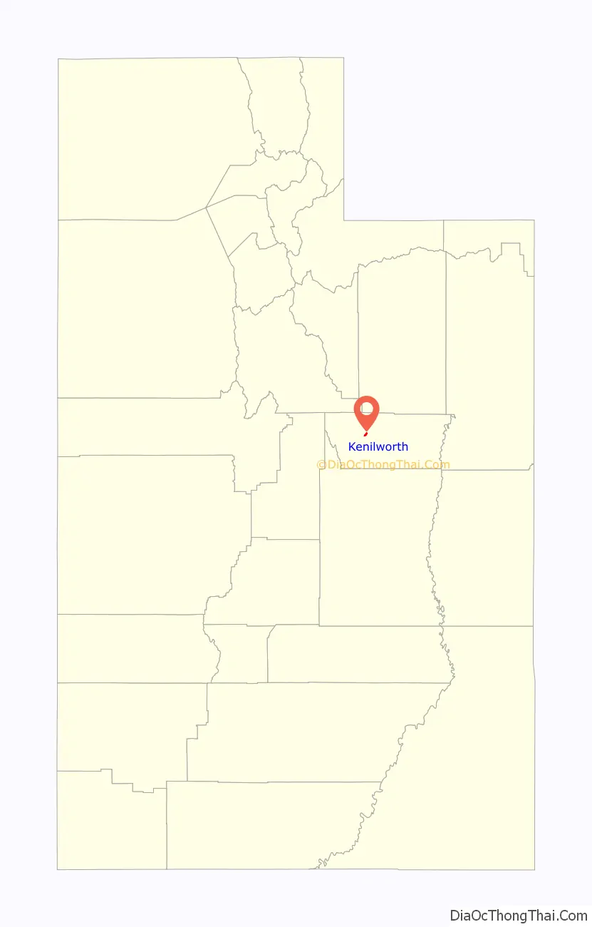
Kenilworth location map. Where is Kenilworth CDP?
History
Like many communities in Carbon County, Kenilworth began as a coal mining camp. Coal was first discovered in the area in 1904, and the town site was laid out in 1908. The name Kenilworth was given by British miners who thought the mountain peaks overlooking the area resembled the spires of Kenilworth Castle.
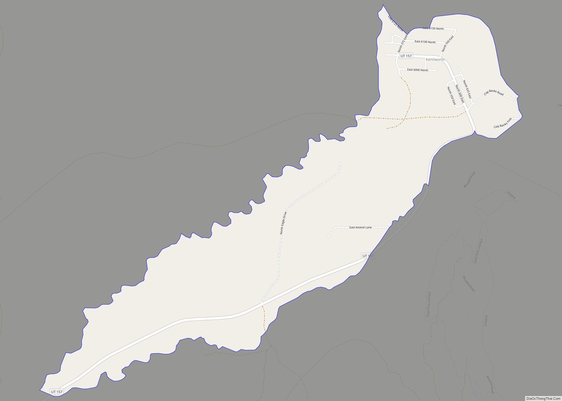
Kenilworth Road Map
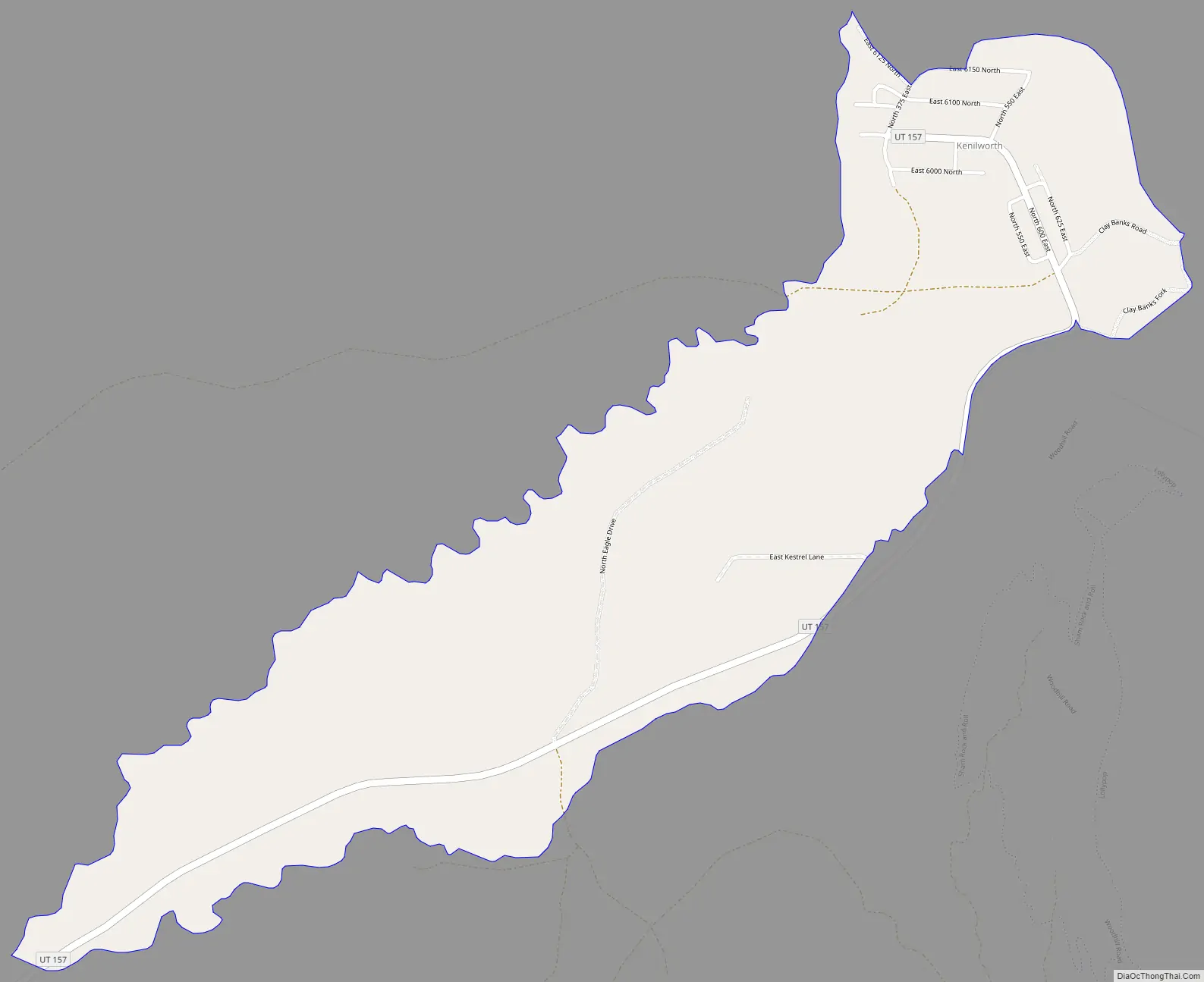
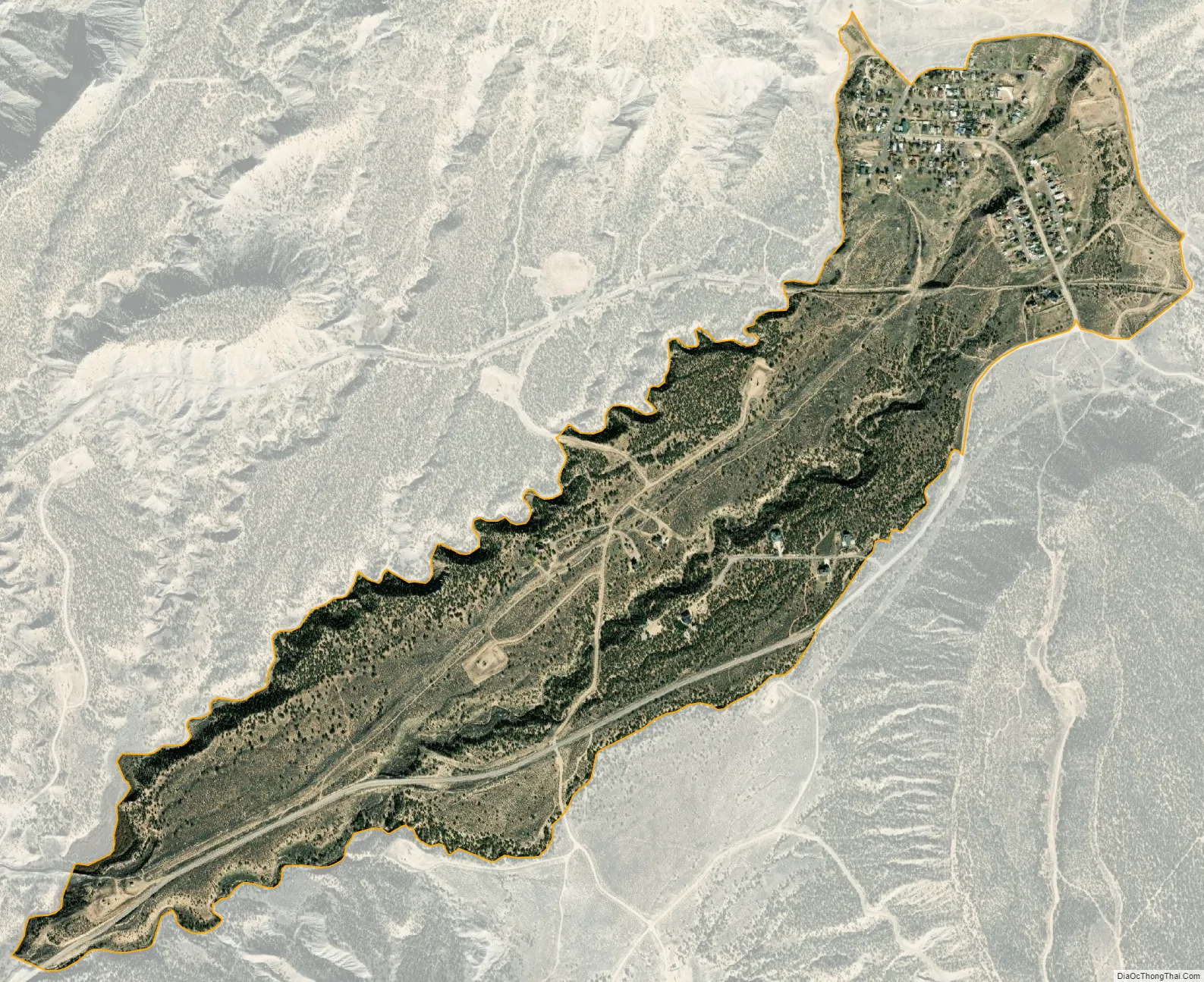
Kenilworth city Satellite Map
See also
Map of Utah State and its subdivision: Map of other states:- Alabama
- Alaska
- Arizona
- Arkansas
- California
- Colorado
- Connecticut
- Delaware
- District of Columbia
- Florida
- Georgia
- Hawaii
- Idaho
- Illinois
- Indiana
- Iowa
- Kansas
- Kentucky
- Louisiana
- Maine
- Maryland
- Massachusetts
- Michigan
- Minnesota
- Mississippi
- Missouri
- Montana
- Nebraska
- Nevada
- New Hampshire
- New Jersey
- New Mexico
- New York
- North Carolina
- North Dakota
- Ohio
- Oklahoma
- Oregon
- Pennsylvania
- Rhode Island
- South Carolina
- South Dakota
- Tennessee
- Texas
- Utah
- Vermont
- Virginia
- Washington
- West Virginia
- Wisconsin
- Wyoming