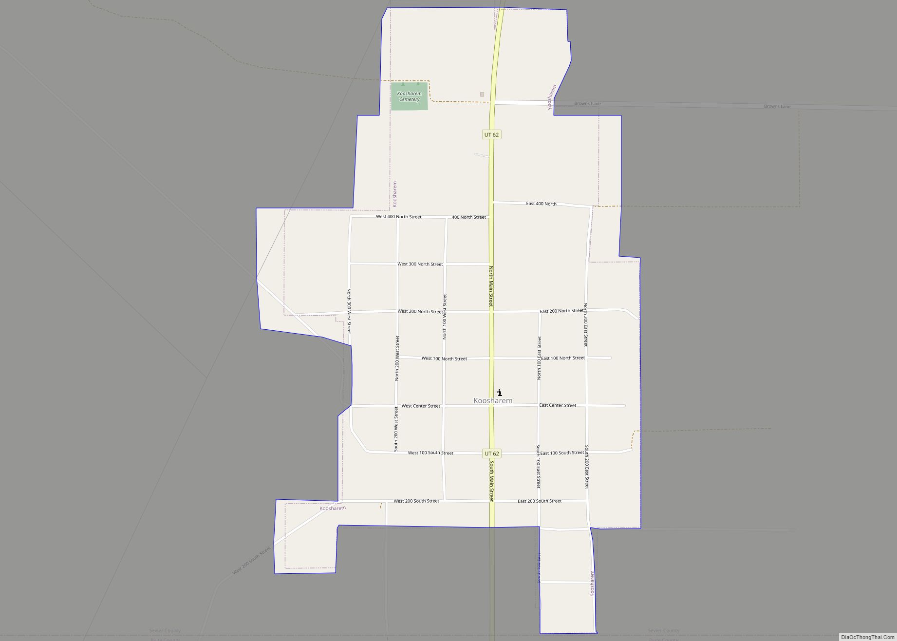
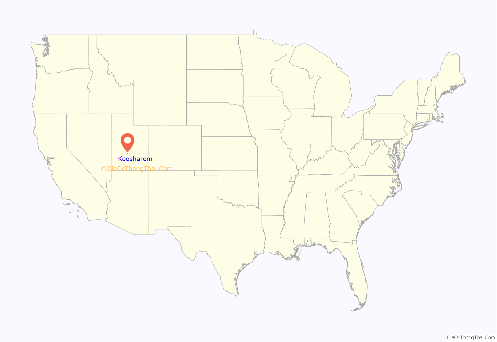
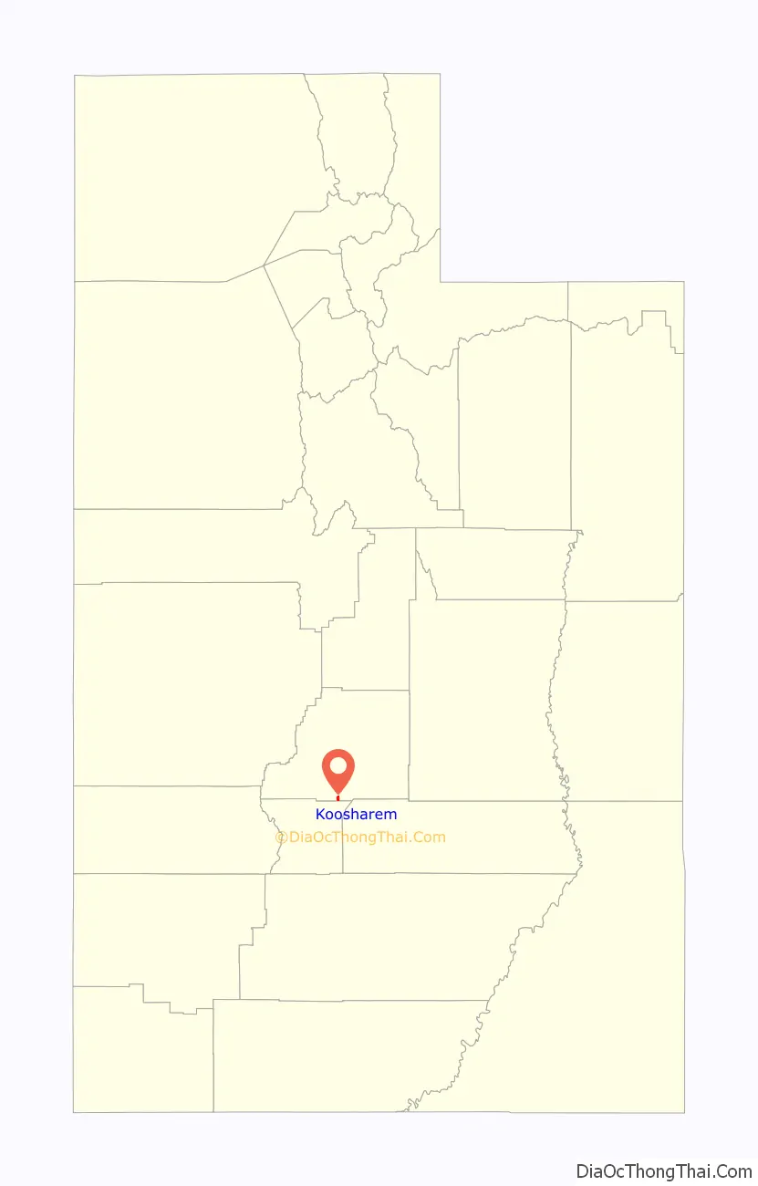
Koosharem is a town in Sevier County, Utah, United States. Koosharem is also known as “Grass Valley”. It generally comprises the area known as Burrville, Utah on the north, south through the valley and through the town of Koosharem and down to the south end with the town of Greenwich, Utah. The valley is made up of private lands nestled within the Fishlake National Forest. Koosharem is situated at the cross-roads for travelers going between Capitol Reef National Park and Bryce Canyon National Park and/or Zion National Park. Koosharem is also the closest town to the famous Fish Lake. The town also serves as an important point along the many trails of the Piute ATV Trail System.
Koosharem’s only store, the historic Grass Valley Mercantile, shares this secondary naming reference.
The name of the town Koosharem originates from the Native Americans indigenous to the area, the Piute Indians and their term for the valley named for the deep red clover that grows in the lush meadows of the Koosharem Valley,. The population was 276 at the 2000 census.
| Name: | Koosharem town |
|---|---|
| LSAD Code: | 43 |
| LSAD Description: | town (suffix) |
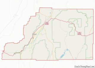
| State: | Utah |
| County: | Sevier County |
| Elevation: | 6,919 ft (2,109 m) |
| Total Area: | 0.83 sq mi (2.16 km²) |
| Land Area: | 0.83 sq mi (2.16 km²) |
| Water Area: | 0.00 sq mi (0.00 km²) |
| Total Population: | 327 |
| Population Density: | 396.16/sq mi (152.96/km²) |
| ZIP code: | 84744 |
| Area code: | 435 |
| FIPS code: | 4941680 |
| GNISfeature ID: | 1442357 |
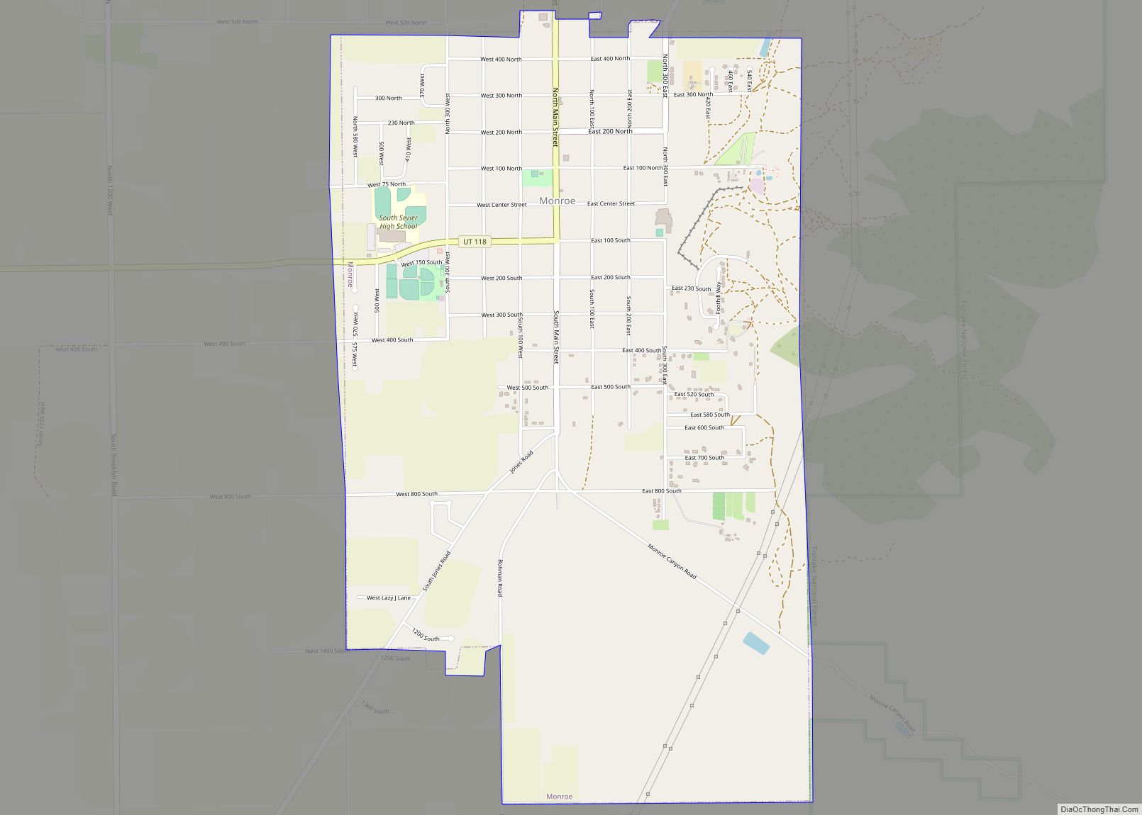
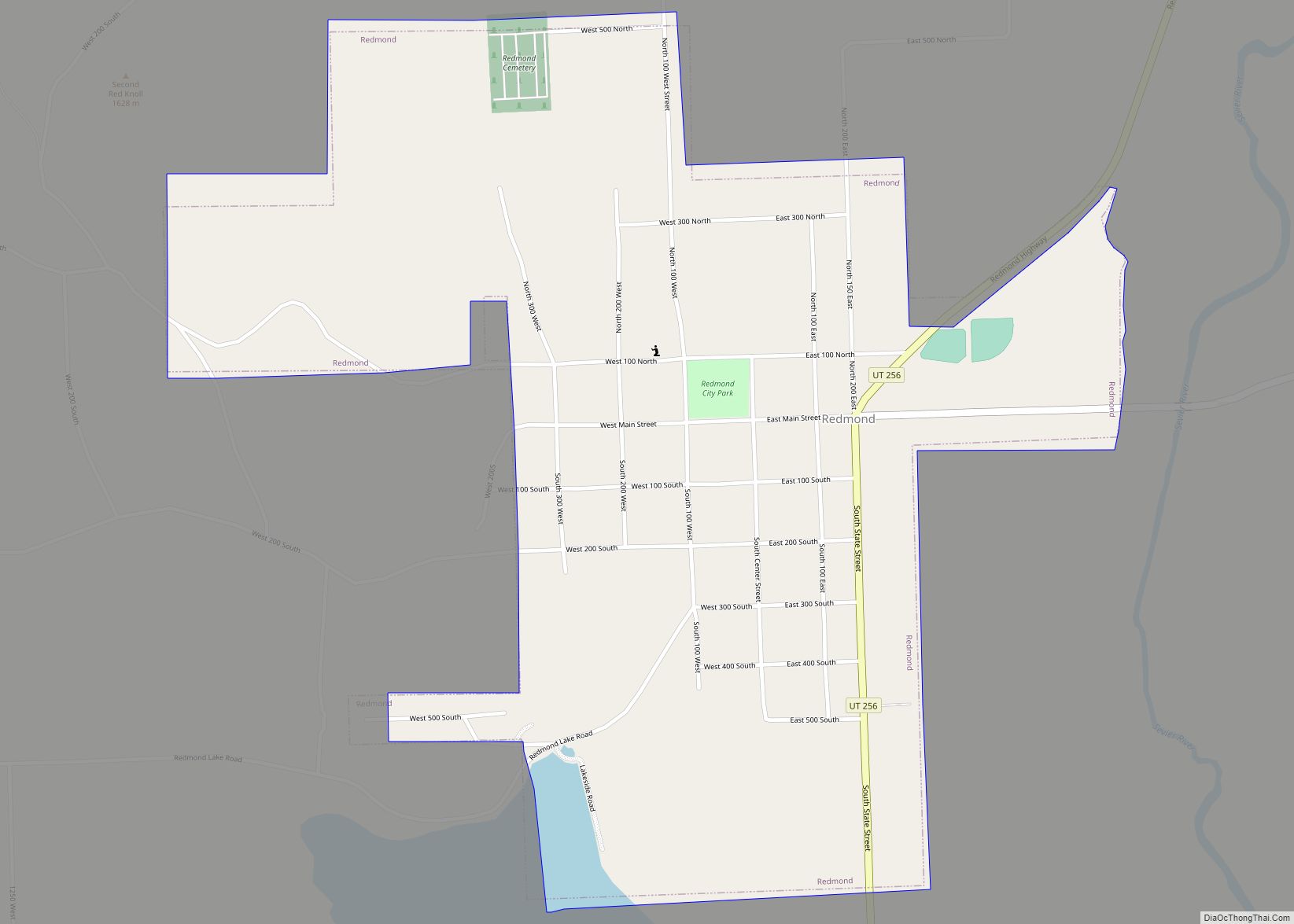
Online Interactive Map
Click on ![]() to view map in "full screen" mode.
to view map in "full screen" mode.
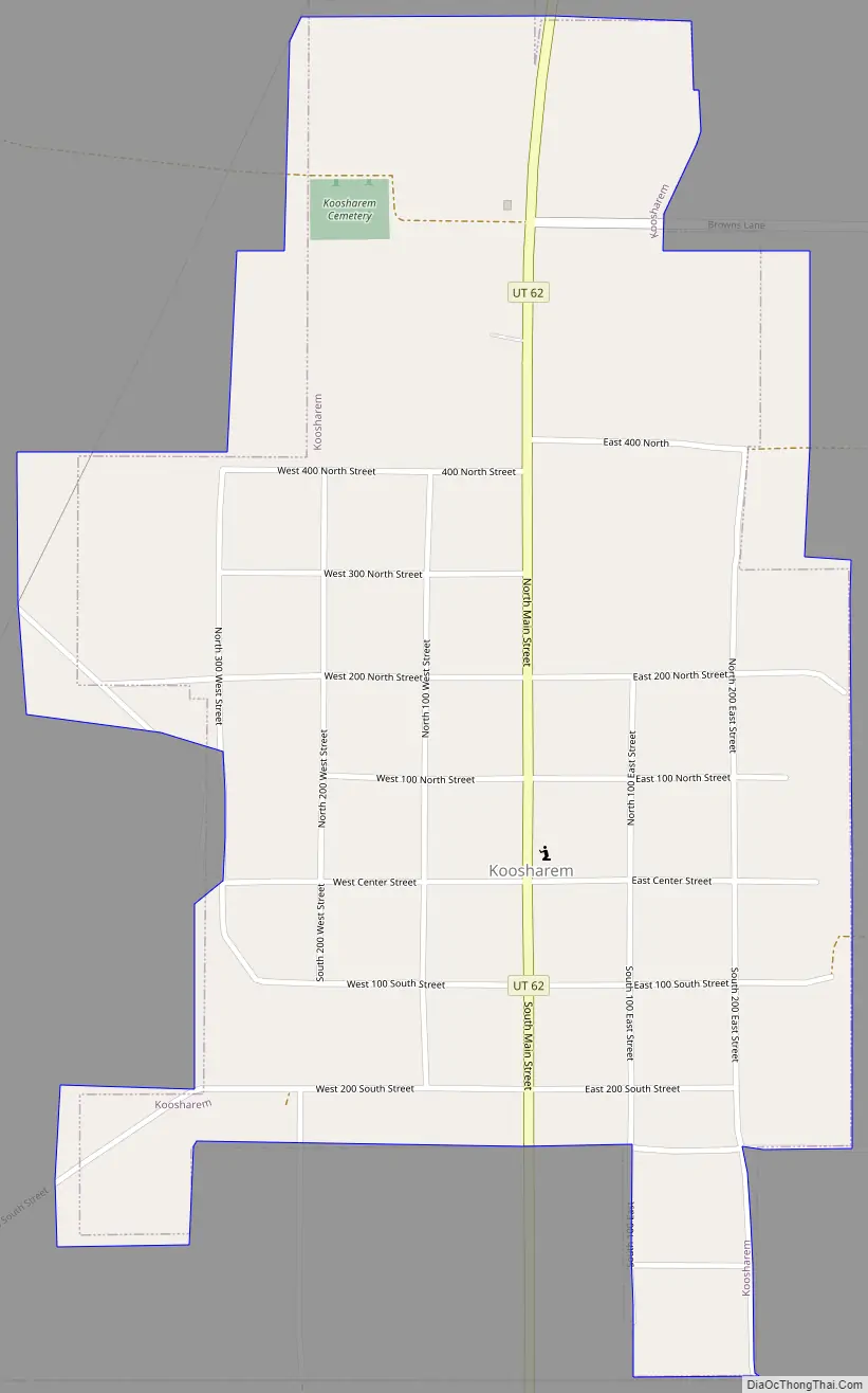
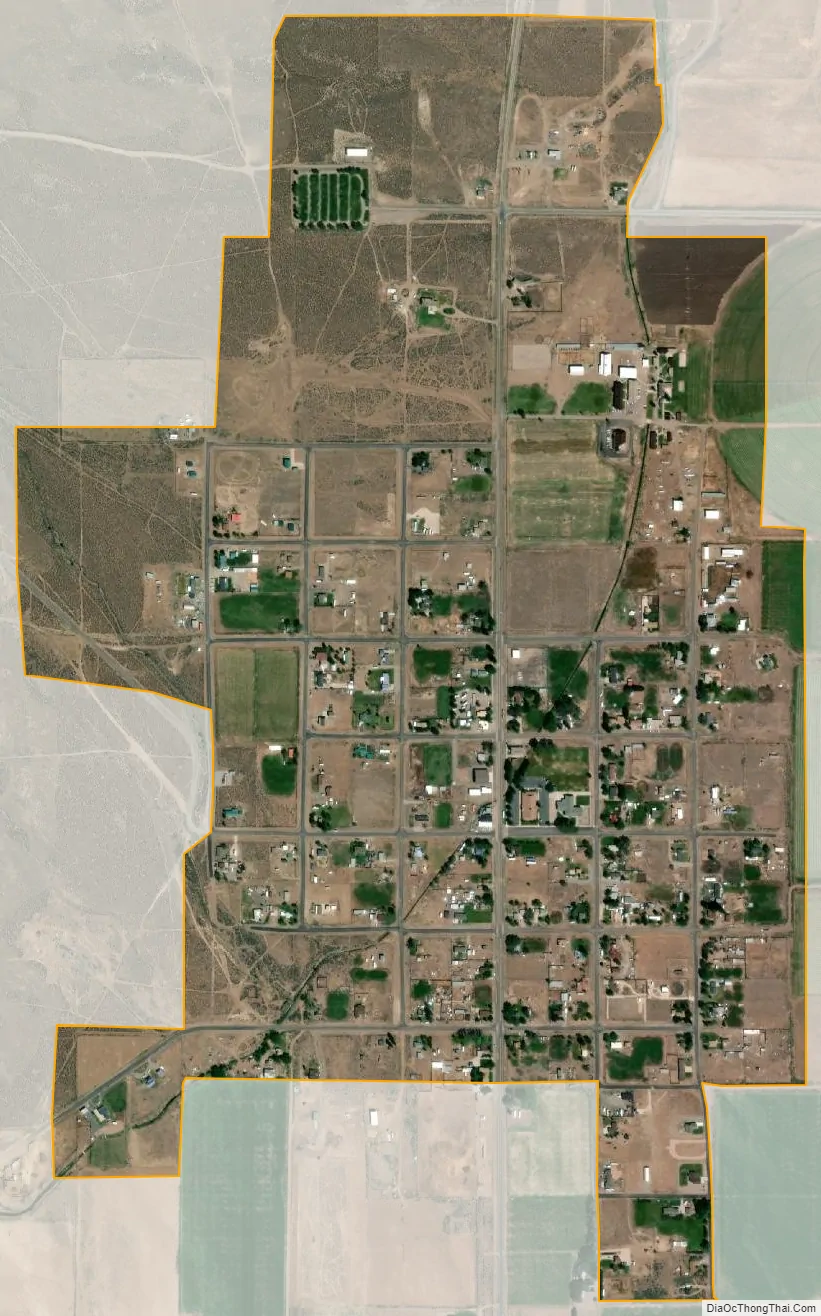
Geography
According to the United States Census Bureau, the town has a total area of 0.6 square miles (1.5 km), all land. A 2008 annexation increased the population to an official estimate of 400.
Koosharem has one church, a cemetery, baseball diamond, fire station, a dairy, a motel, two restaurants, and a store (post office located inside that store).
Koosharem is rural and isolated but relatively centrally located. The table shows driving miles from the center of Koosharem to the following:
Koosharem and the Grass Valley include habitat for threatened and endangered species. These species include the Greater Sage Grouse, the Utah Prairie Dog, Pygmy Rabbit, bald eagles, golden eagles, western toad, ferruginous hawk,
See also
Map of Utah State and its subdivision: Map of other states:- Alabama
- Alaska
- Arizona
- Arkansas
- California
- Colorado
- Connecticut
- Delaware
- District of Columbia
- Florida
- Georgia
- Hawaii
- Idaho
- Illinois
- Indiana
- Iowa
- Kansas
- Kentucky
- Louisiana
- Maine
- Maryland
- Massachusetts
- Michigan
- Minnesota
- Mississippi
- Missouri
- Montana
- Nebraska
- Nevada
- New Hampshire
- New Jersey
- New Mexico
- New York
- North Carolina
- North Dakota
- Ohio
- Oklahoma
- Oregon
- Pennsylvania
- Rhode Island
- South Carolina
- South Dakota
- Tennessee
- Texas
- Utah
- Vermont
- Virginia
- Washington
- West Virginia
- Wisconsin
- Wyoming