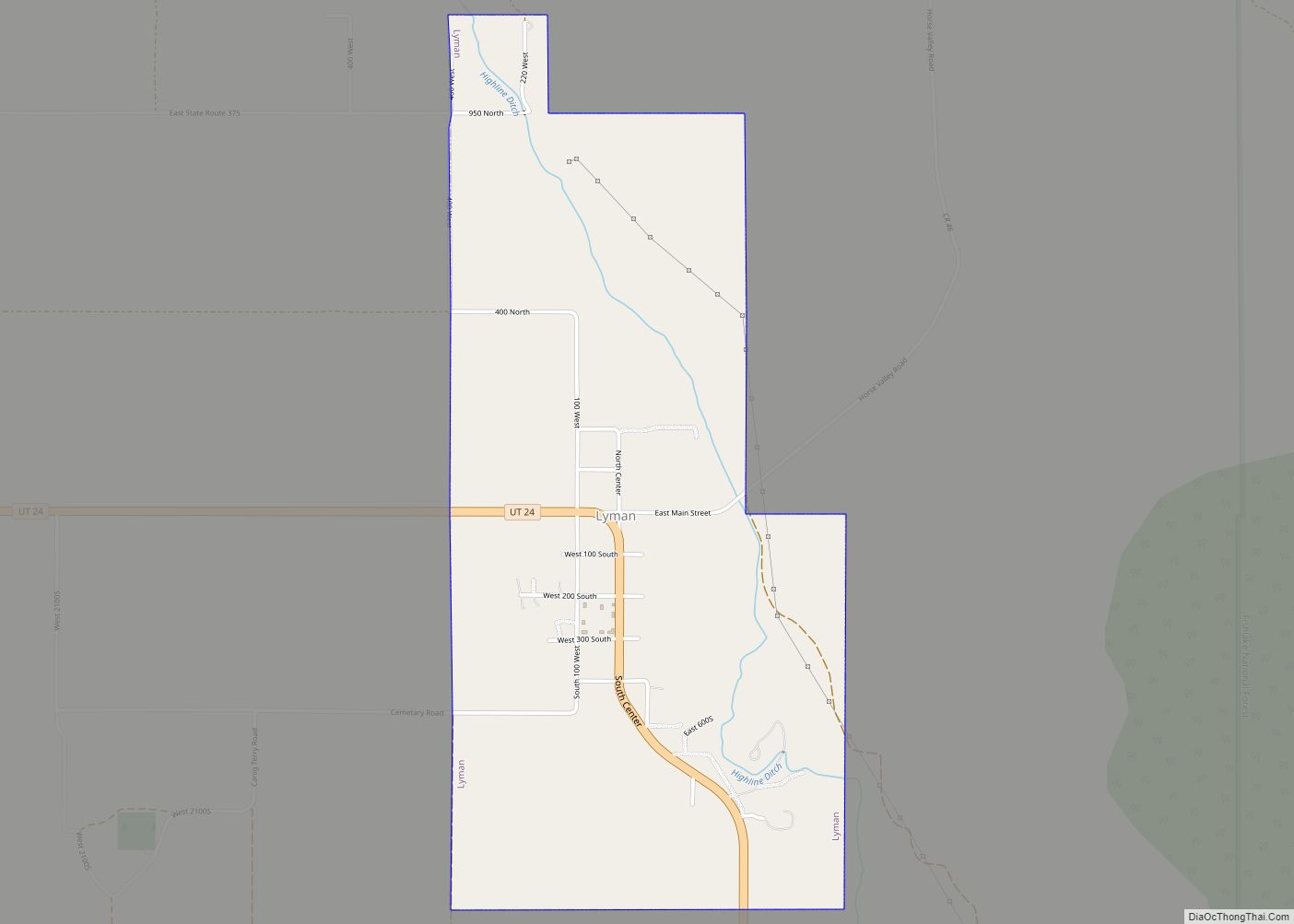
Lyman is a town along State Route 24 in Wayne County, Utah, United States. The population was 258 at the 2010 census.
Lyman was originally known as East Loa. It became a distinct place from Loa in 1893.
| Name: | Lyman town |
|---|---|
| LSAD Code: | 43 |
| LSAD Description: | town (suffix) |
| State: | Utah |
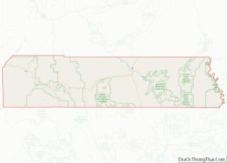
| County: | Wayne County |
| Elevation: | 7,182 ft (2,189 m) |
| Total Area: | 1.81 sq mi (4.68 km²) |
| Land Area: | 1.81 sq mi (4.68 km²) |
| Water Area: | 0.00 sq mi (0.00 km²) |
| Total Population: | 258 |
| Population Density: | 142.30/sq mi (54.93/km²) |
| ZIP code: | 84749 |
| Area code: | 435 |
| FIPS code: | 4946410 |
| GNISfeature ID: | 1430020 |
Online Interactive Map
Click on ![]() to view map in "full screen" mode.
to view map in "full screen" mode.
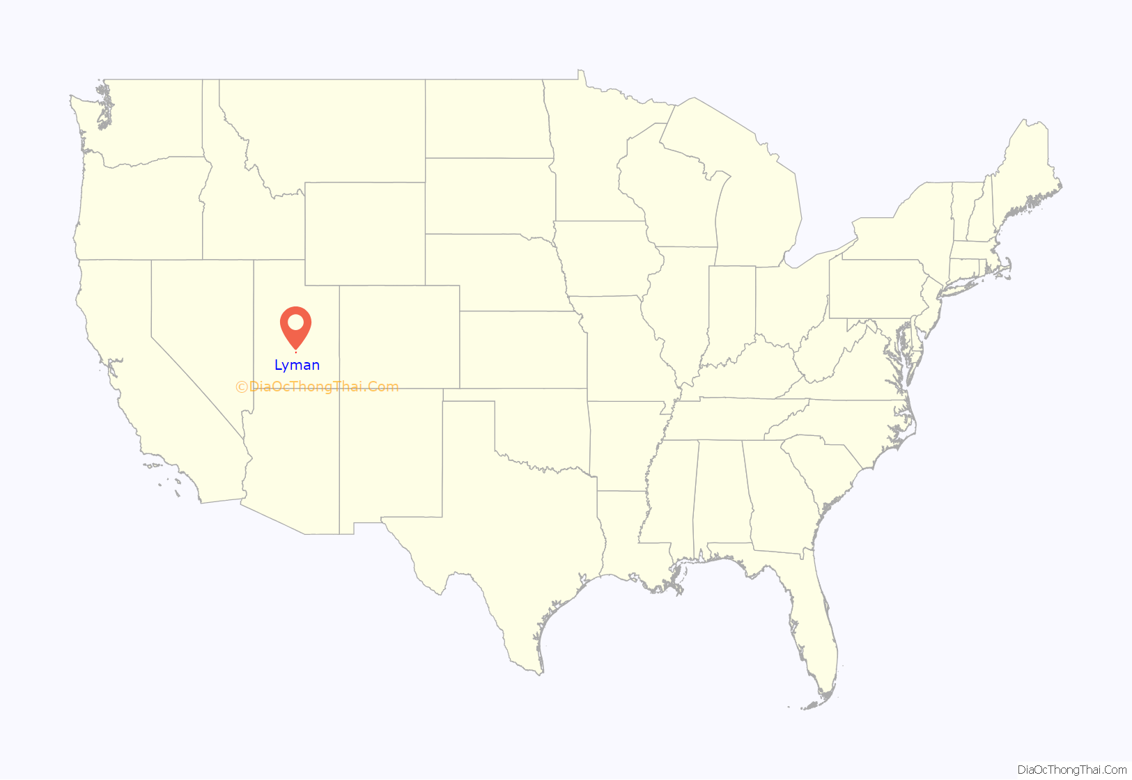
Lyman location map. Where is Lyman town?
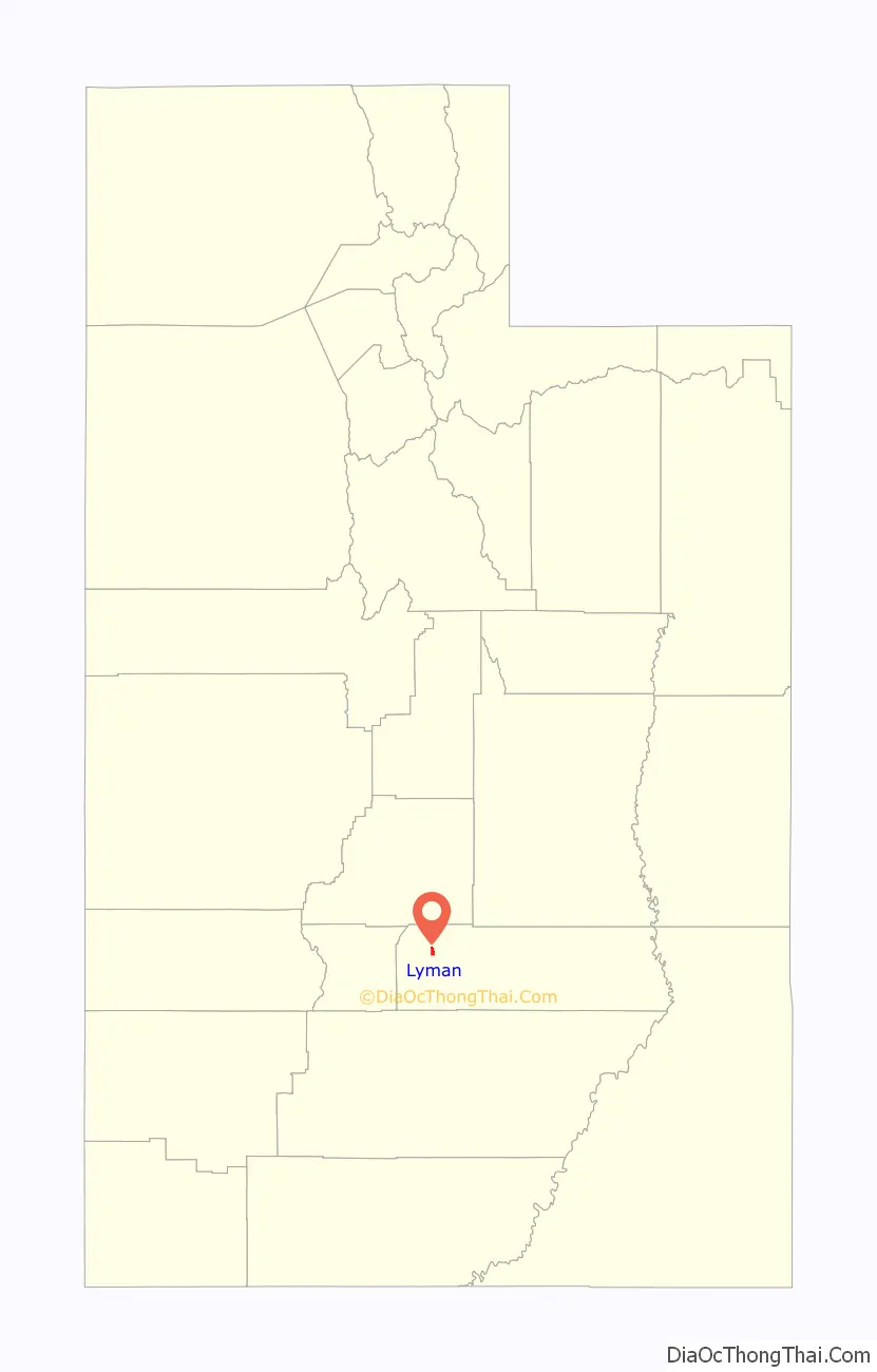
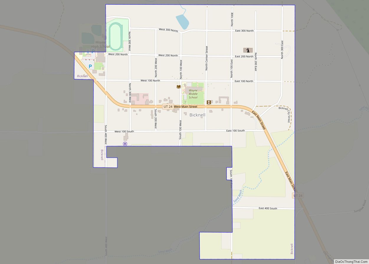
Lyman Road Map

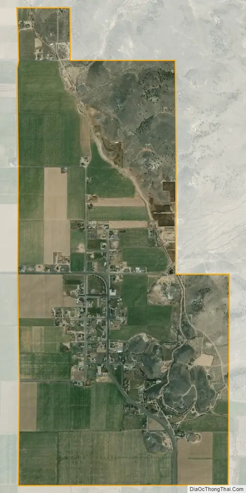
Lyman city Satellite Map
Geography
According to the United States Census Bureau, the town has a total area of 1.9 square miles (4.9 km), all land.
See also
Map of Utah State and its subdivision: Map of other states:- Alabama
- Alaska
- Arizona
- Arkansas
- California
- Colorado
- Connecticut
- Delaware
- District of Columbia
- Florida
- Georgia
- Hawaii
- Idaho
- Illinois
- Indiana
- Iowa
- Kansas
- Kentucky
- Louisiana
- Maine
- Maryland
- Massachusetts
- Michigan
- Minnesota
- Mississippi
- Missouri
- Montana
- Nebraska
- Nevada
- New Hampshire
- New Jersey
- New Mexico
- New York
- North Carolina
- North Dakota
- Ohio
- Oklahoma
- Oregon
- Pennsylvania
- Rhode Island
- South Carolina
- South Dakota
- Tennessee
- Texas
- Utah
- Vermont
- Virginia
- Washington
- West Virginia
- Wisconsin
- Wyoming