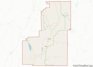
Mayfield is a town in southwestern Sanpete County, Utah, United States. The population was 496 at the 2010 census.
| Name: | Mayfield town |
|---|---|
| LSAD Code: | 43 |
| LSAD Description: | town (suffix) |
| State: | Utah |
| County: | Sanpete County |
| Elevation: | 5,538 ft (1,688 m) |
| Total Area: | 0.90 sq mi (2.33 km²) |
| Land Area: | 0.90 sq mi (2.33 km²) |
| Water Area: | 0.00 sq mi (0.00 km²) |
| Total Population: | 496 |
| Population Density: | 613.33/sq mi (236.90/km²) |
| ZIP code: | 84643 |
| Area code: | 435 |
| FIPS code: | 4948720 |
| GNISfeature ID: | 1443237 |
Online Interactive Map
Click on ![]() to view map in "full screen" mode.
to view map in "full screen" mode.
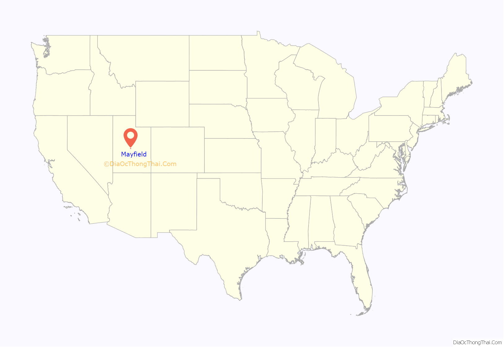
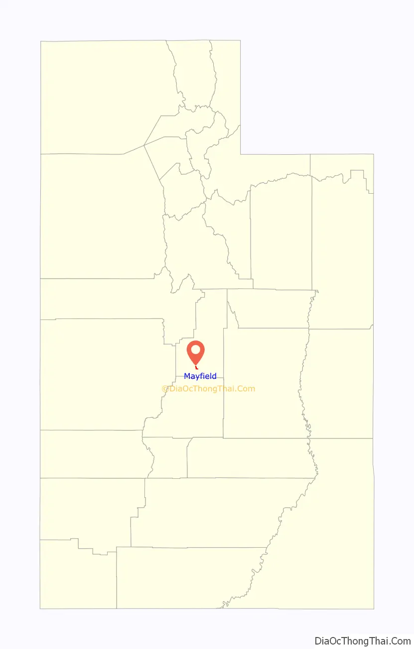
Mayfield location map. Where is Mayfield town?
History
Mayfield was settled in 1871. Some of the area’s founding families included the Andersons, Petersons, Petersens, Bartholomews, Jensens, Sorensens, and Willdens. When the first white settlers arrived, they learned that this area was considered sacred by the Indians, who said it was a “healing ground.” It is said that no fighting has ever occurred in Mayfield.
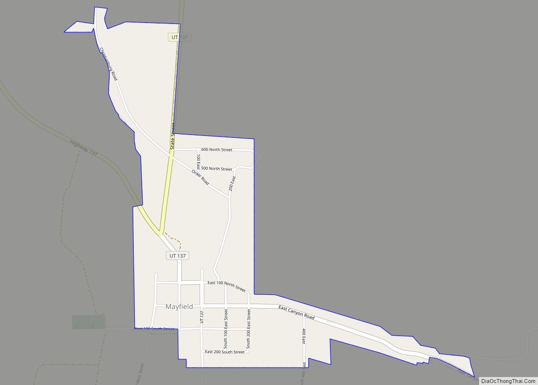
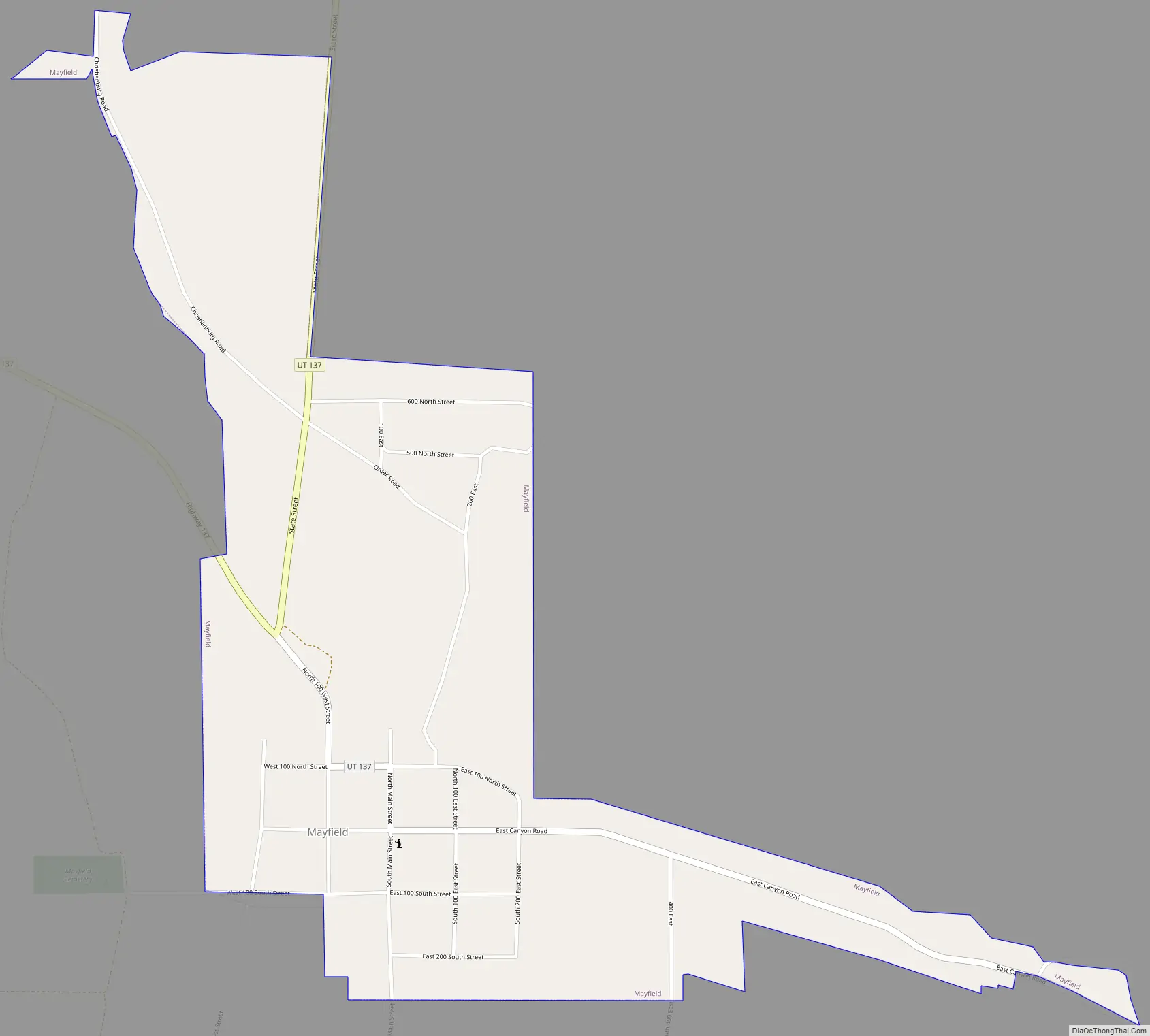
Mayfield Road Map
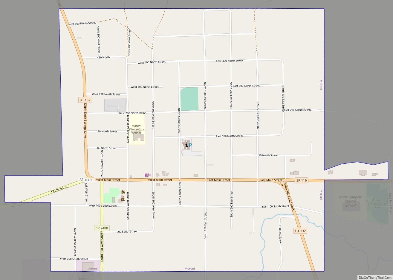
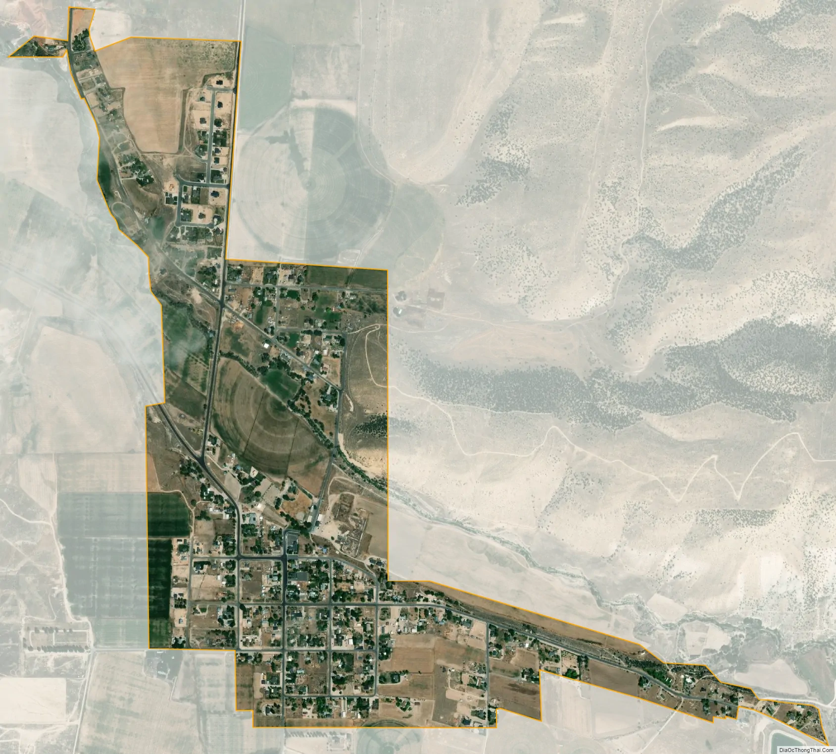
Mayfield city Satellite Map
Geography
According to the United States Census Bureau, the town has a total area of 0.8 square miles (2.1 km), all land.
See also
Map of Utah State and its subdivision: Map of other states:- Alabama
- Alaska
- Arizona
- Arkansas
- California
- Colorado
- Connecticut
- Delaware
- District of Columbia
- Florida
- Georgia
- Hawaii
- Idaho
- Illinois
- Indiana
- Iowa
- Kansas
- Kentucky
- Louisiana
- Maine
- Maryland
- Massachusetts
- Michigan
- Minnesota
- Mississippi
- Missouri
- Montana
- Nebraska
- Nevada
- New Hampshire
- New Jersey
- New Mexico
- New York
- North Carolina
- North Dakota
- Ohio
- Oklahoma
- Oregon
- Pennsylvania
- Rhode Island
- South Carolina
- South Dakota
- Tennessee
- Texas
- Utah
- Vermont
- Virginia
- Washington
- West Virginia
- Wisconsin
- Wyoming