Millville is a city in Cache County, Utah, United States. The population was 2,222 at the 2020 census, with an estimated population of 2,300 in 2022. It is included in the Logan, Utah–Idaho Metropolitan Statistical Area.
| Name: | Millville city |
|---|---|
| LSAD Code: | 25 |
| LSAD Description: | city (suffix) |
| State: | Utah |
| County: | Cache County |
| Elevation: | 4,616 ft (1,407 m) |
| Total Area: | 2.51 sq mi (6.49 km²) |
| Land Area: | 2.51 sq mi (6.49 km²) |
| Water Area: | 0.00 sq mi (0.00 km²) |
| Total Population: | 2,222 |
| Population Density: | 885.26/sq mi (342.37/km²) |
| ZIP code: | 84326 |
| Area code: | 435 |
| FIPS code: | 4950370 |
| GNISfeature ID: | 1443496 |
| Website: | millvillecity.org |
Online Interactive Map
Click on ![]() to view map in "full screen" mode.
to view map in "full screen" mode.
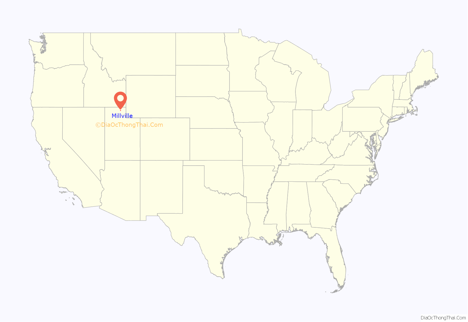
Millville location map. Where is Millville city?
History
George White Pitkin built the first log home in Millville, before the settlement was organized or named. He and his sons, Ammon Paul Pitkin and George Orrin Pitkin, built the home in 1859. The family moved into it in late spring 1860. The present location of the home is 136 W. 100 South, in Millville. It became the Pitkin homestead. Church and school were held there. As George White Pitkin was an educated man, he taught until a “proper” church and school were built. Later, the Pitkin family built a two-story rock home with walls 2 feet (0.61 m) thick. George died at the age of 72 on November 26, 1873, and is buried in the Millville cemetery.
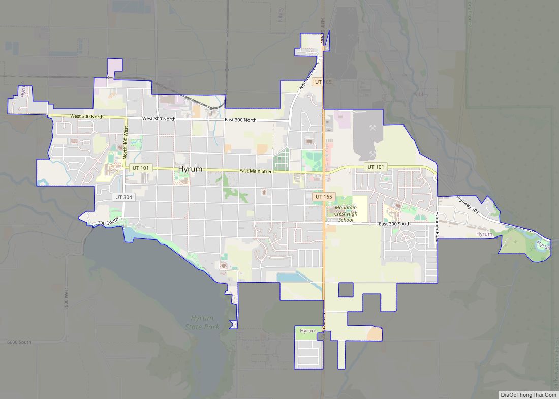
Millville Road Map
Millville city Satellite Map
Geography
Millville is located on the southeast side of Cache Valley in northern Utah and is bordered by Providence to the north, Logan to the northwest, and Nibley to the southwest. According to the United States Census Bureau, Millville has a total area of 2.1 square miles (5.5 km), all land.
Climate
The climate in this area has mild differences between highs and lows, and there is adequate rainfall year-round. According to the Köppen Climate Classification system, Millville has a marine west coast climate, abbreviated “CFB” on climate maps.
See also
Map of Utah State and its subdivision: Map of other states:- Alabama
- Alaska
- Arizona
- Arkansas
- California
- Colorado
- Connecticut
- Delaware
- District of Columbia
- Florida
- Georgia
- Hawaii
- Idaho
- Illinois
- Indiana
- Iowa
- Kansas
- Kentucky
- Louisiana
- Maine
- Maryland
- Massachusetts
- Michigan
- Minnesota
- Mississippi
- Missouri
- Montana
- Nebraska
- Nevada
- New Hampshire
- New Jersey
- New Mexico
- New York
- North Carolina
- North Dakota
- Ohio
- Oklahoma
- Oregon
- Pennsylvania
- Rhode Island
- South Carolina
- South Dakota
- Tennessee
- Texas
- Utah
- Vermont
- Virginia
- Washington
- West Virginia
- Wisconsin
- Wyoming
