Nibley is a city in Cache County, Utah, United States. Incorporated in 1935, it was named after Charles W. Nibley, a leader in the Church of Jesus Christ of Latter-day Saints. The population was 5,438 at the 2010 census. It is included in the Logan, Utah–Idaho (partial) Metropolitan Statistical Area and is a suburb or ‘bedroom’ community of Logan.
Historically a rural area, Nibley has experienced significant growth within the last decade, more than doubling its population in under 10 years.
| Name: | Nibley city |
|---|---|
| LSAD Code: | 25 |
| LSAD Description: | city (suffix) |
| State: | Utah |
| County: | Cache County |
| Incorporated: | 1935 |
| Elevation: | 4,554 ft (1,388 m) |
| Total Area: | 4.39 sq mi (11.37 km²) |
| Land Area: | 4.39 sq mi (11.37 km²) |
| Water Area: | 0.00 sq mi (0.00 km²) |
| Total Population: | 5,438 |
| Population Density: | 1,625.28/sq mi (627.52/km²) |
| ZIP code: | 84321 |
| Area code: | 435 |
| FIPS code: | 4954660 |
| GNISfeature ID: | 1443818 |
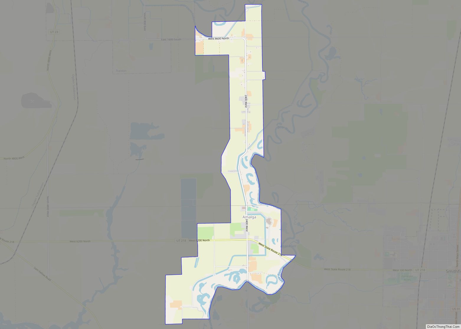
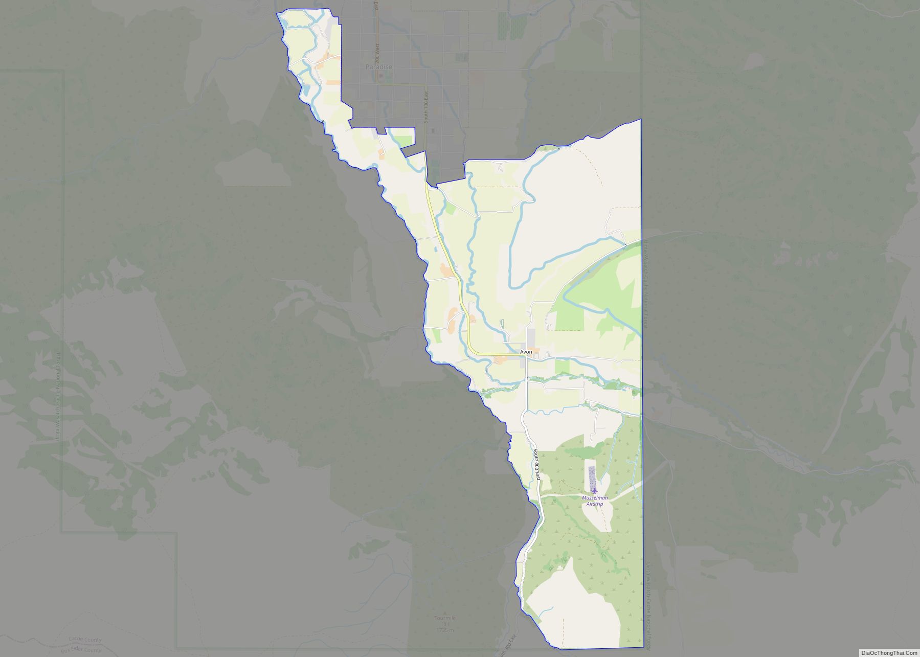
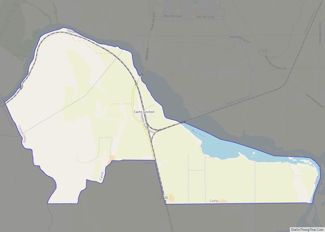
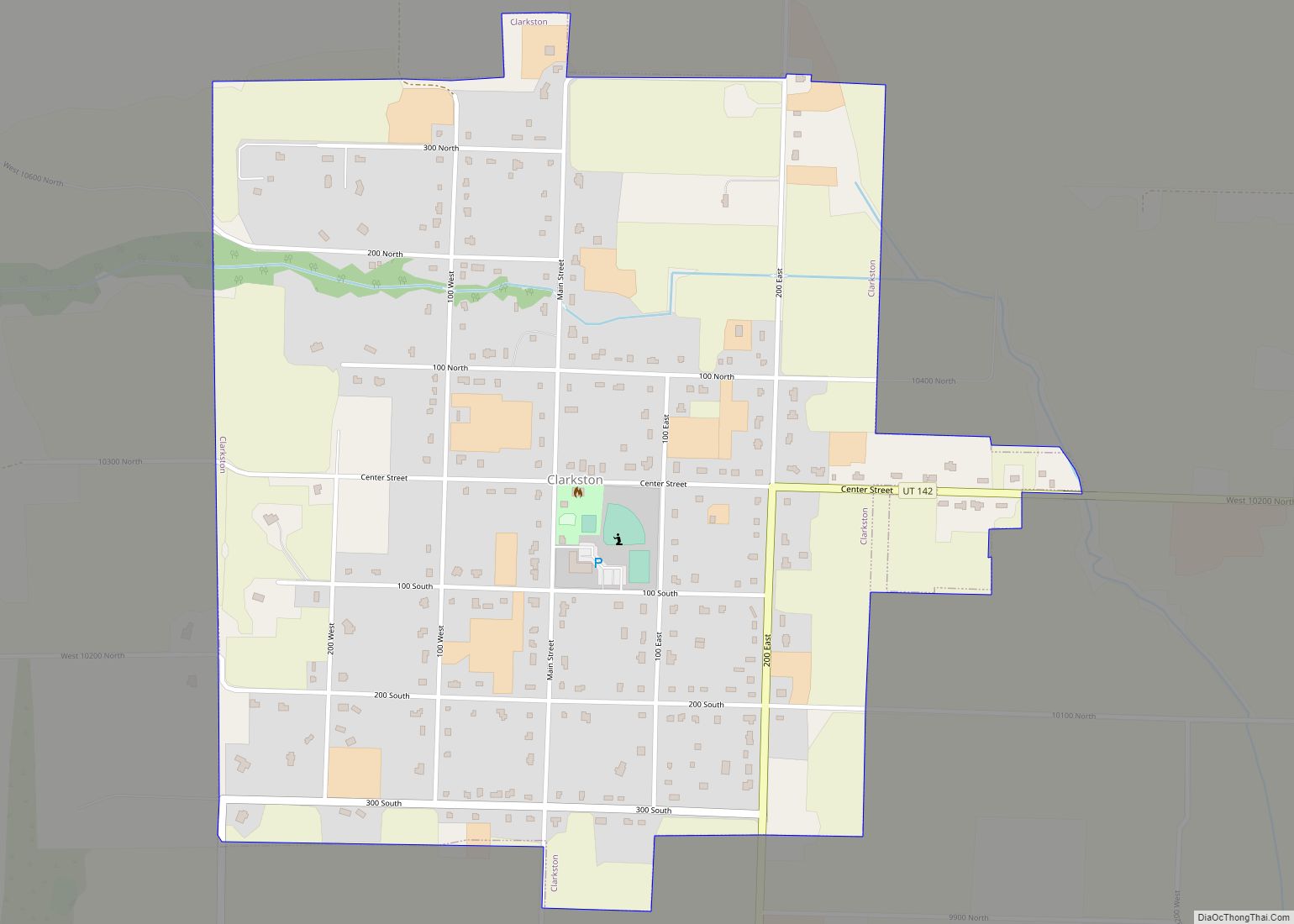
Online Interactive Map
Click on ![]() to view map in "full screen" mode.
to view map in "full screen" mode.
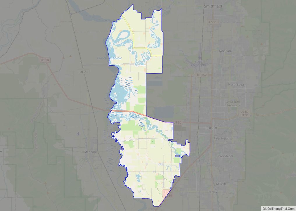
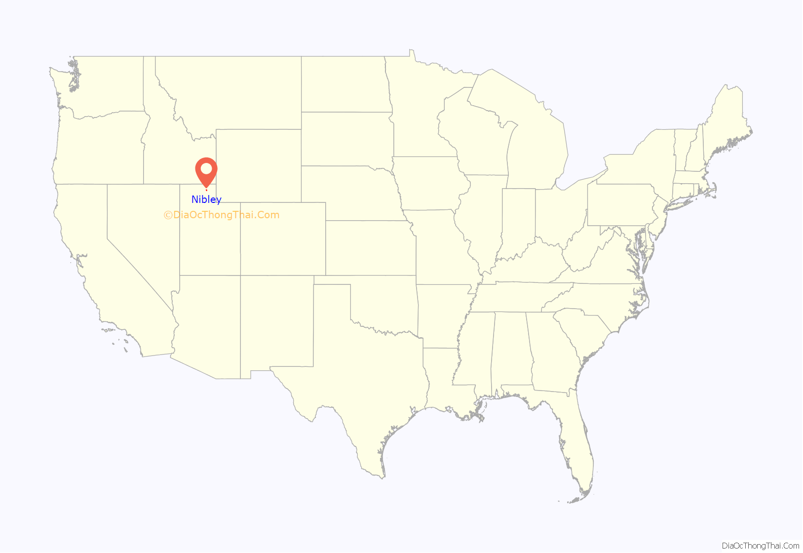
Nibley location map. Where is Nibley city?
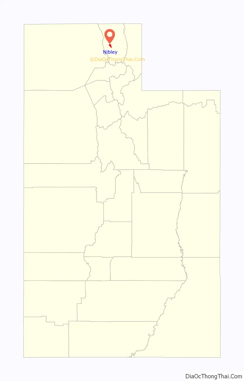
Nibley Road Map
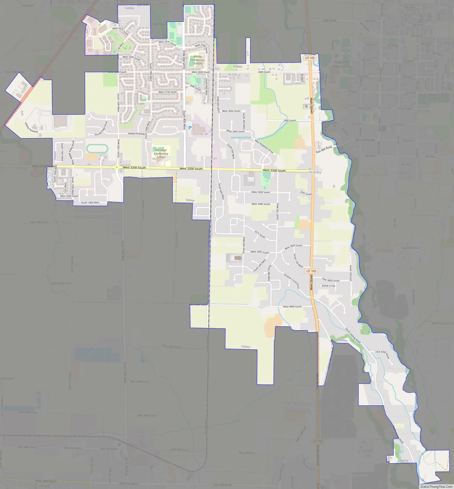
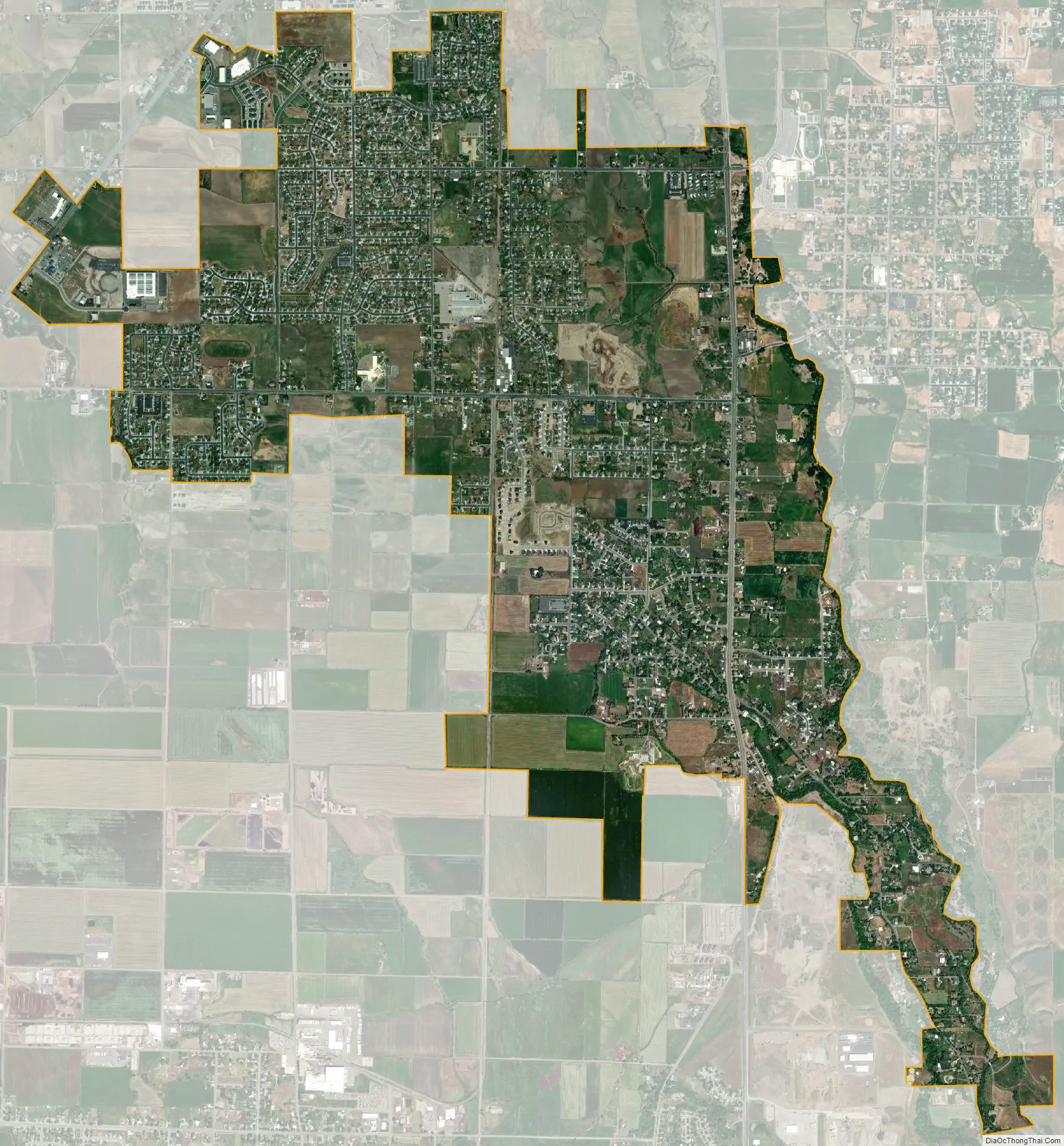
Nibley city Satellite Map
Geography
Nibley lies between the cities of Hyrum and Logan in the Cache Valley.
According to the United States Census Bureau, the city has a total area of 4.03 square miles, 10.4377 square kilometers, all land.
See also
Map of Utah State and its subdivision: Map of other states:- Alabama
- Alaska
- Arizona
- Arkansas
- California
- Colorado
- Connecticut
- Delaware
- District of Columbia
- Florida
- Georgia
- Hawaii
- Idaho
- Illinois
- Indiana
- Iowa
- Kansas
- Kentucky
- Louisiana
- Maine
- Maryland
- Massachusetts
- Michigan
- Minnesota
- Mississippi
- Missouri
- Montana
- Nebraska
- Nevada
- New Hampshire
- New Jersey
- New Mexico
- New York
- North Carolina
- North Dakota
- Ohio
- Oklahoma
- Oregon
- Pennsylvania
- Rhode Island
- South Carolina
- South Dakota
- Tennessee
- Texas
- Utah
- Vermont
- Virginia
- Washington
- West Virginia
- Wisconsin
- Wyoming