North Logan is a city in Cache County, Utah, United States. The population was 8,269 at the 2010 census and estimated to be 11,176 according to the 2018 Census. It is included in the Logan, Utah–Idaho (partial) Metropolitan Statistical Area. The city is mainly composed of residential sub-divisions and is a suburb of the county seat, Logan.
North Logan was first settled in 1890.
| Name: | North Logan city |
|---|---|
| LSAD Code: | 25 |
| LSAD Description: | city (suffix) |
| State: | Utah |
| County: | Cache County |
| Incorporated: | 1934 |
| Elevation: | 4,692 ft (1,430 m) |
| Total Area: | 7.14 sq mi (18.49 km²) |
| Land Area: | 7.13 sq mi (18.47 km²) |
| Water Area: | 0.01 sq mi (0.02 km²) |
| Population Density: | 1,575.57/sq mi (608.36/km²) |
| ZIP code: | 84341 |
| Area code: | 435 |
| FIPS code: | 4954990 |
| GNISfeature ID: | 1443956 |
| Website: | www.ci.north-logan.ut.us |
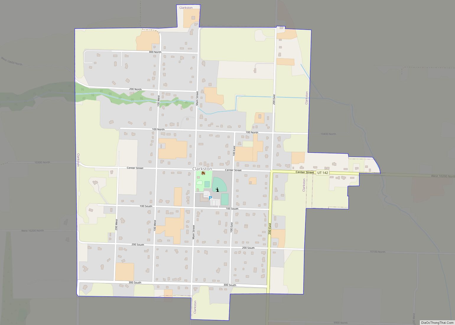
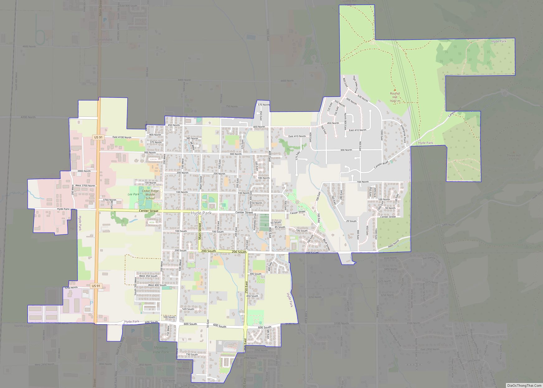
Online Interactive Map
Click on ![]() to view map in "full screen" mode.
to view map in "full screen" mode.
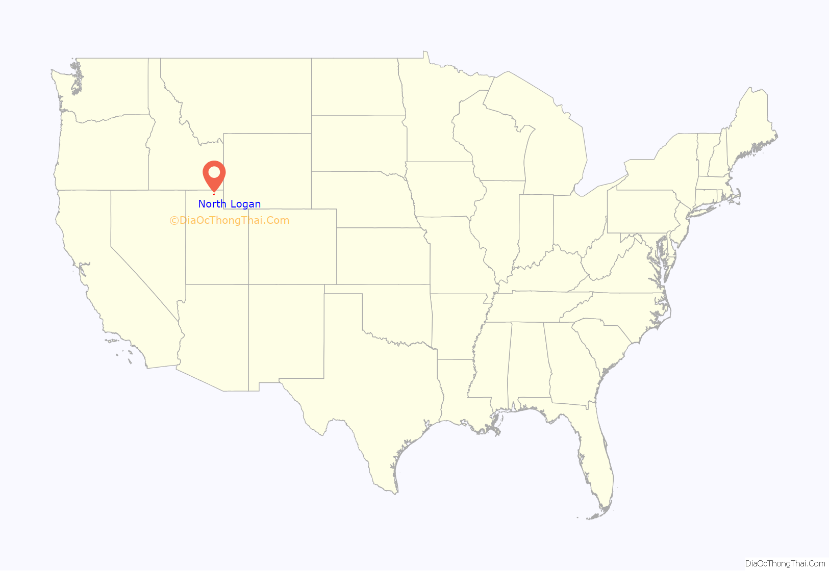
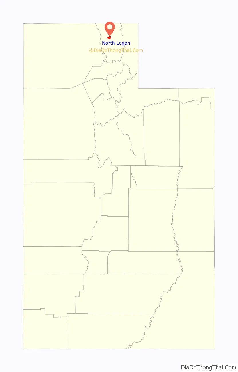
North Logan location map. Where is North Logan city?
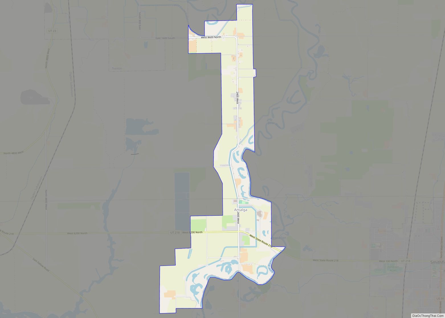
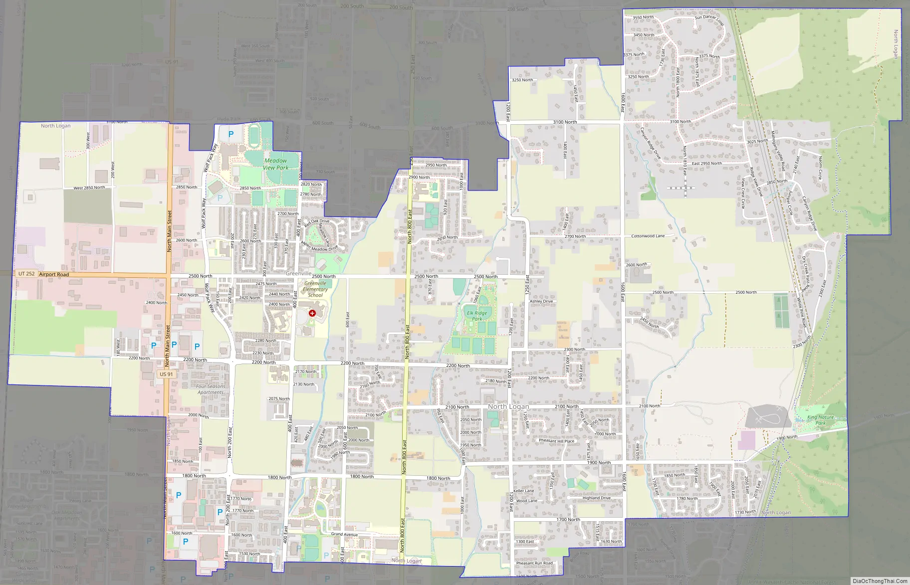
North Logan Road Map
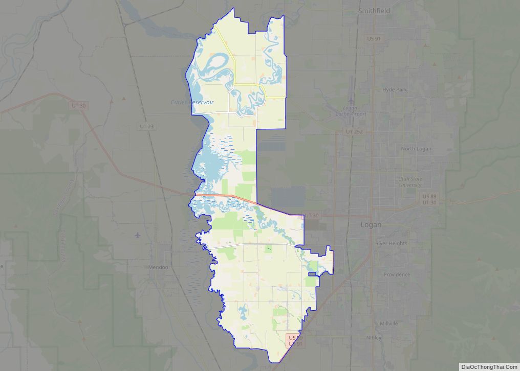
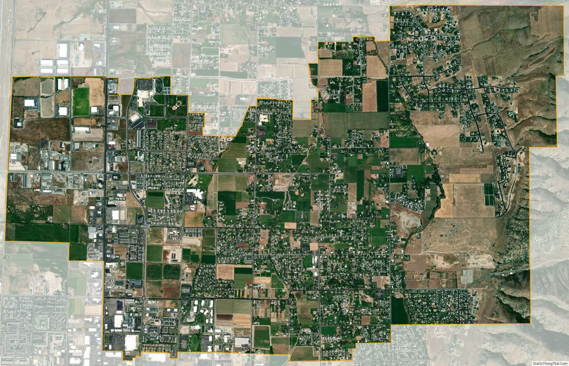
North Logan city Satellite Map
Geography
According to the United States Census Bureau, the city has a total area of 6.9 square miles (17.9 km), of which 6.9 square miles (17.9 km) is land and 0.14% is water.
On the west, North Logan has views of the Wellsville Mountains. To the east of North Logan is the Mt. Naomi Wilderness.
See also
Map of Utah State and its subdivision: Map of other states:- Alabama
- Alaska
- Arizona
- Arkansas
- California
- Colorado
- Connecticut
- Delaware
- District of Columbia
- Florida
- Georgia
- Hawaii
- Idaho
- Illinois
- Indiana
- Iowa
- Kansas
- Kentucky
- Louisiana
- Maine
- Maryland
- Massachusetts
- Michigan
- Minnesota
- Mississippi
- Missouri
- Montana
- Nebraska
- Nevada
- New Hampshire
- New Jersey
- New Mexico
- New York
- North Carolina
- North Dakota
- Ohio
- Oklahoma
- Oregon
- Pennsylvania
- Rhode Island
- South Carolina
- South Dakota
- Tennessee
- Texas
- Utah
- Vermont
- Virginia
- Washington
- West Virginia
- Wisconsin
- Wyoming