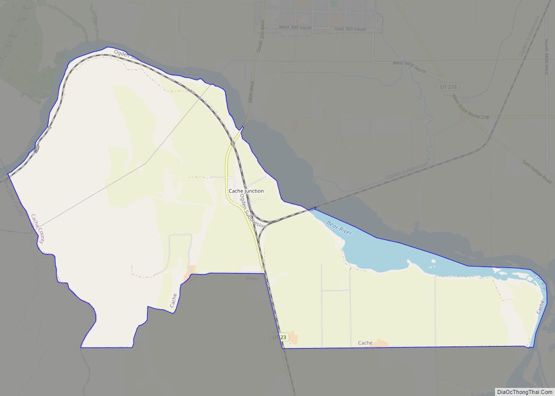
Peter (or Petersboro) is a census-designated place (CDP) on the west-central edge of Cache County, Utah, United States. The population was 324 at the 2010 census. It is included in the Logan, Utah–Idaho (partial) Metropolitan Statistical Area.
| Name: | Peter CDP |
|---|---|
| LSAD Code: | 57 |
| LSAD Description: | CDP (suffix) |
| State: | Utah |
| County: | Cache County |
| Total Area: | 22.4 sq mi (58.0 km²) |
| Land Area: | 21.5 sq mi (55.8 km²) |
| Water Area: | 0.8 sq mi (2.2 km²) |
| Total Population: | 324 |
| Population Density: | 14/sq mi (5.6/km²) |
| ZIP code: | 84325 |
| Area code: | 435 |
| FIPS code: | 4959555 |
Online Interactive Map
Click on ![]() to view map in "full screen" mode.
to view map in "full screen" mode.
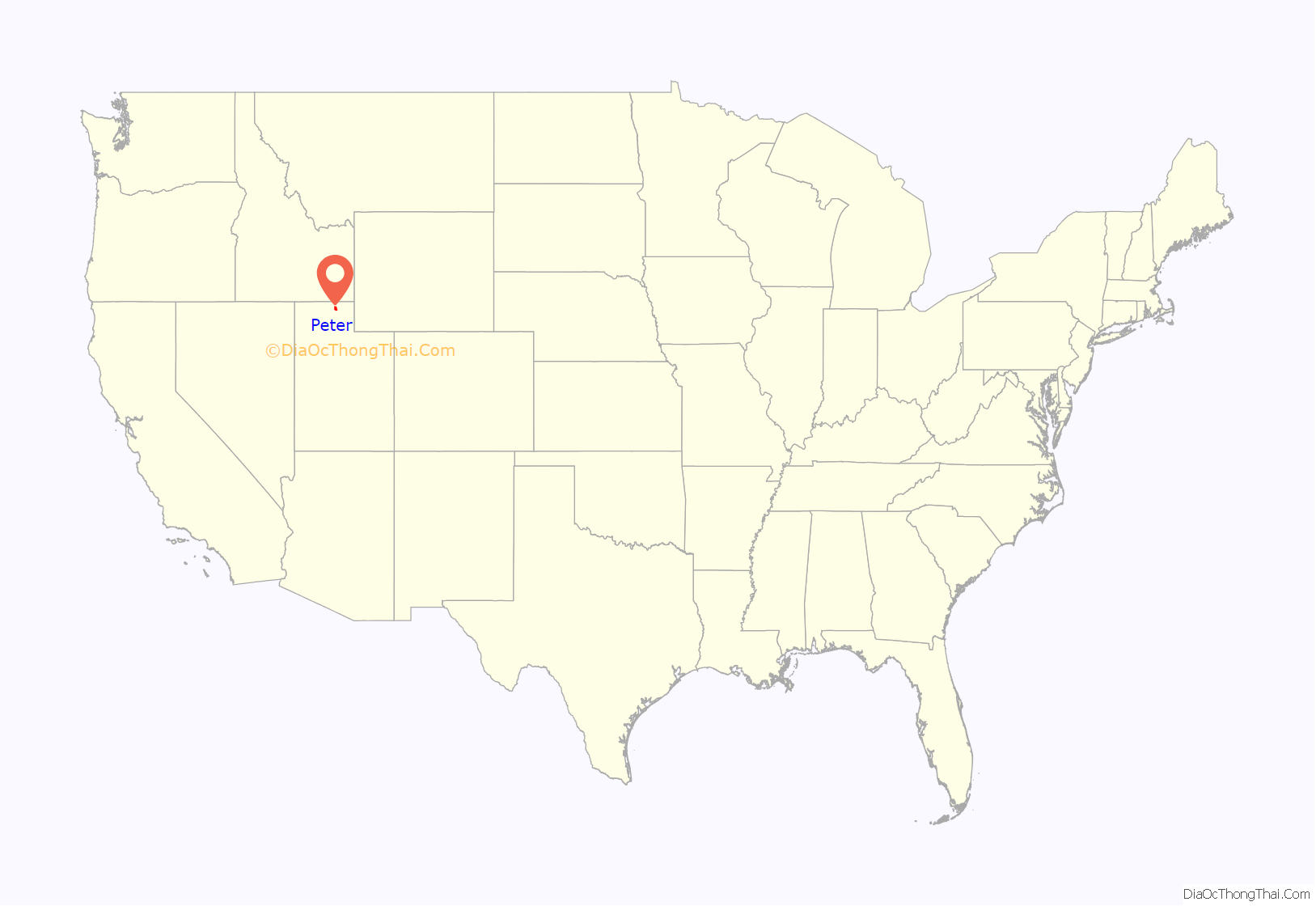
Peter location map. Where is Peter CDP?
History
Sylvanus Collett became the first settler in Petersboro in 1867. In 1876 Petersboro was designated District Six within the Mendon LDS Ward. Petersboro became a separate ward in 1887.
The area is named for Peter Maughan, an early Mormon settler and church leader. Located outside of Mendon, historically the area has been closely tied with the cultural and religious communities located in the nearby town. Each year residents of Petersboro participate with Mendonites in their May Day celebration.
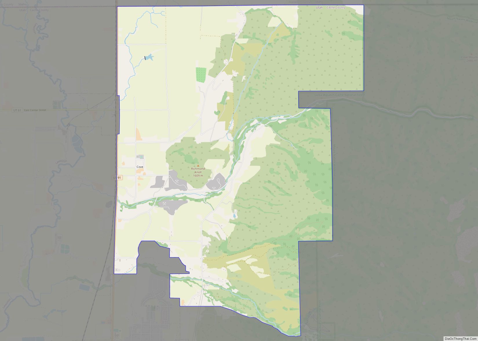
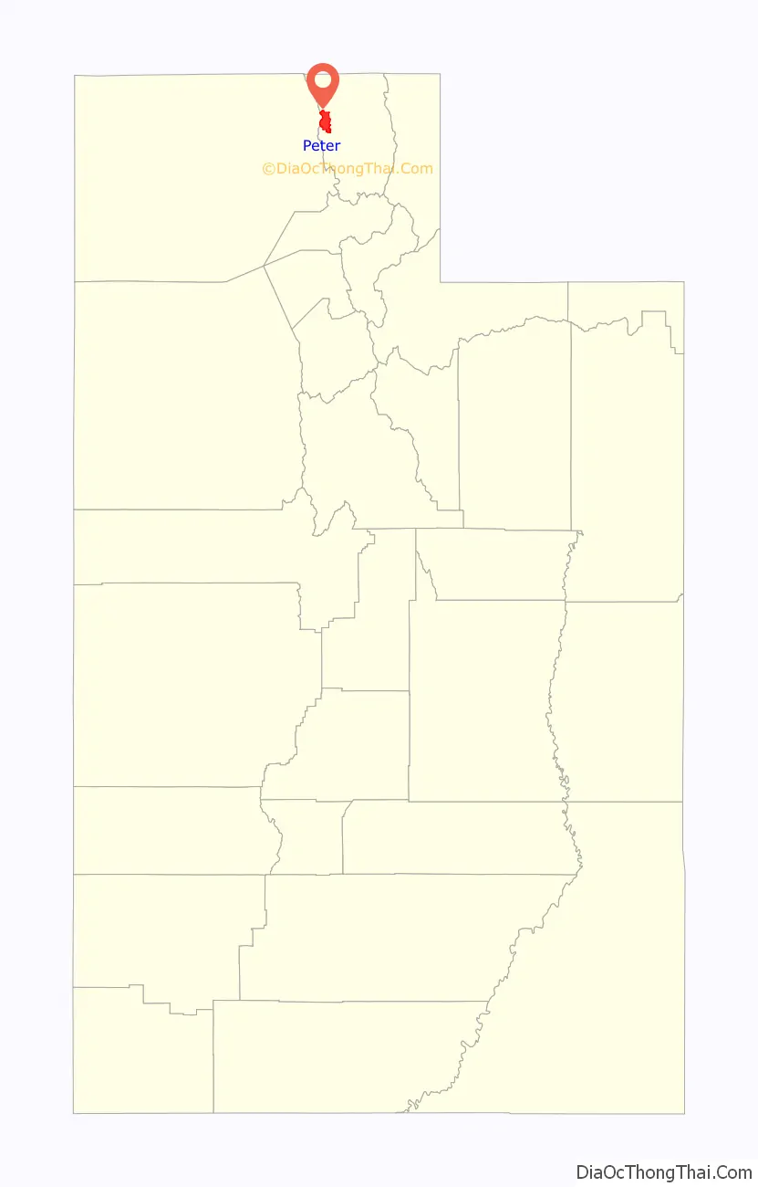
Peter Road Map
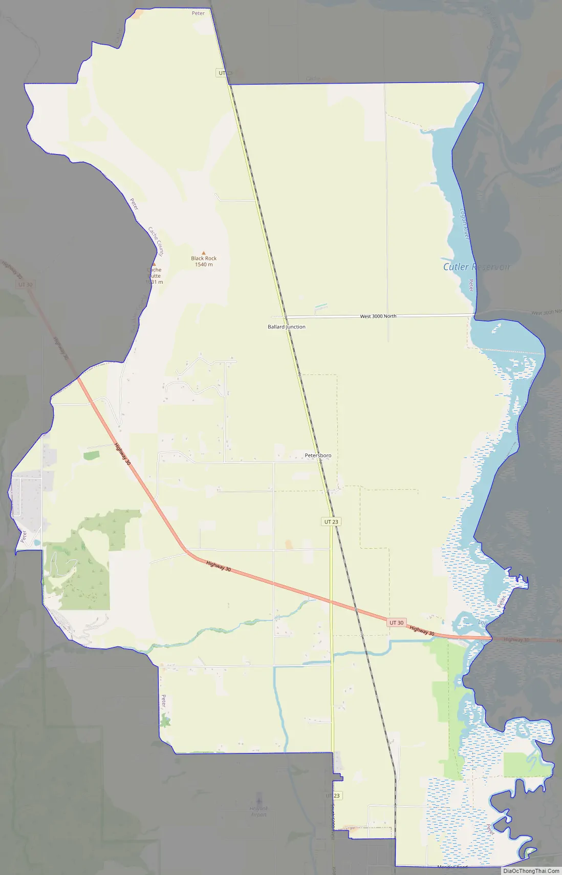
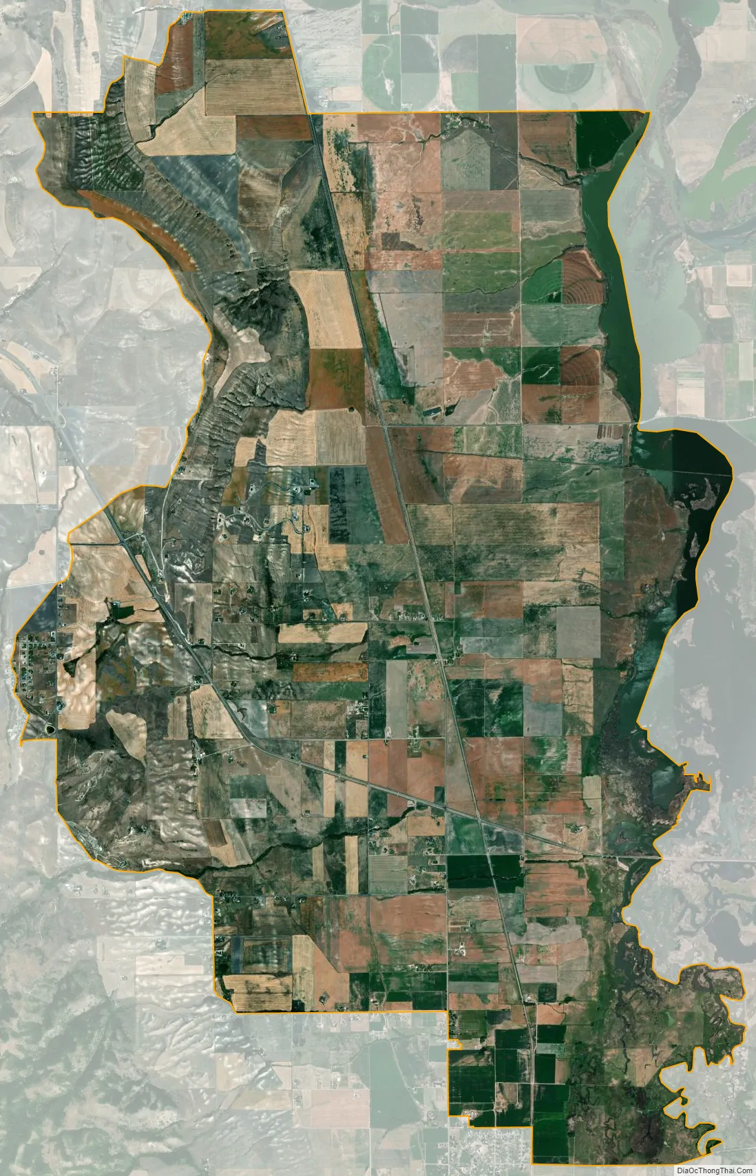
Peter city Satellite Map
Geography
Petersboro is located at 41°45′39″N 111°59′3″W / 41.76083°N 111.98417°W / 41.76083; -111.98417 (41.760838, -111.984191).
According to the United States Census Bureau, the CDP has a total area of 22.4 square miles (58.0 km), of which 21.5 square miles (55.8 km) is land and 0.9 square mile (2.2 km) (3.84%) is water.
See also
Map of Utah State and its subdivision: Map of other states:- Alabama
- Alaska
- Arizona
- Arkansas
- California
- Colorado
- Connecticut
- Delaware
- District of Columbia
- Florida
- Georgia
- Hawaii
- Idaho
- Illinois
- Indiana
- Iowa
- Kansas
- Kentucky
- Louisiana
- Maine
- Maryland
- Massachusetts
- Michigan
- Minnesota
- Mississippi
- Missouri
- Montana
- Nebraska
- Nevada
- New Hampshire
- New Jersey
- New Mexico
- New York
- North Carolina
- North Dakota
- Ohio
- Oklahoma
- Oregon
- Pennsylvania
- Rhode Island
- South Carolina
- South Dakota
- Tennessee
- Texas
- Utah
- Vermont
- Virginia
- Washington
- West Virginia
- Wisconsin
- Wyoming