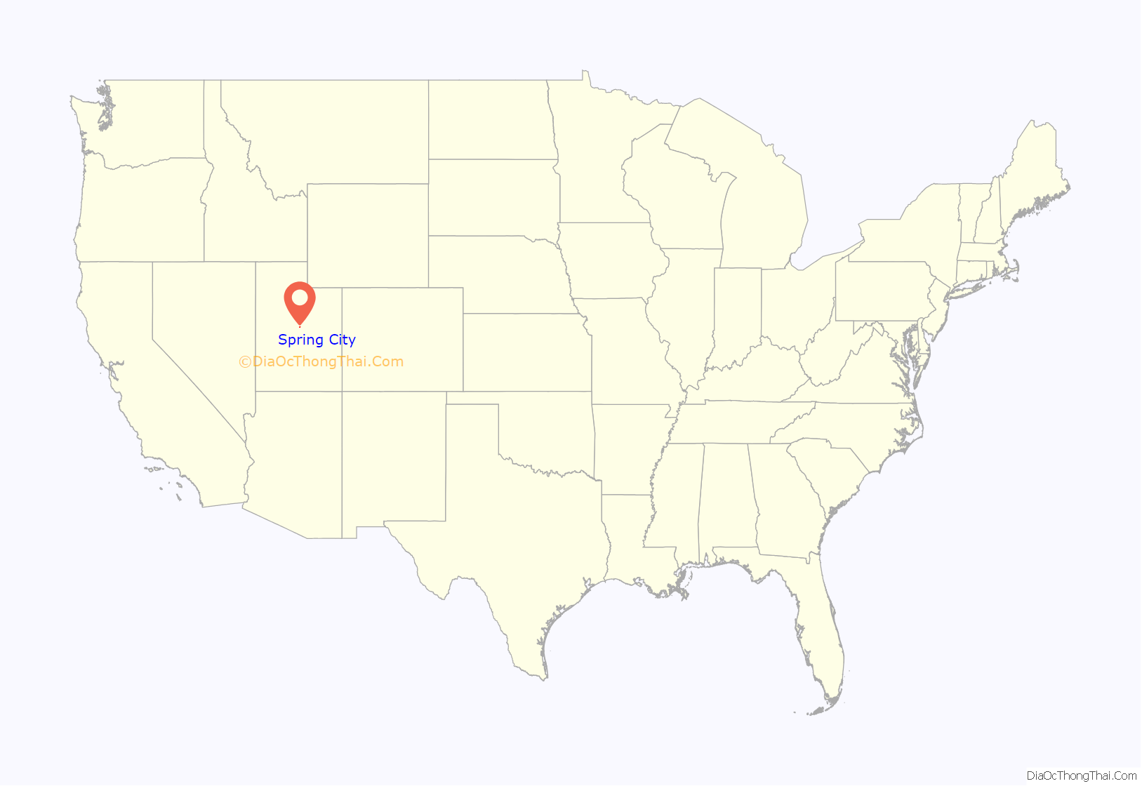
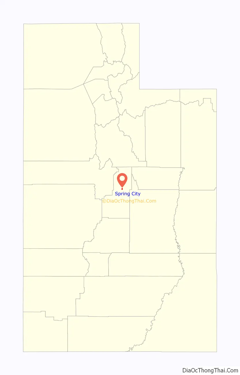
Spring City is a city in Sanpete County, Utah, United States. The population was 988 at the 2010 census.
| Name: | Spring City city |
|---|---|
| LSAD Code: | 25 |
| LSAD Description: | city (suffix) |
| State: | Utah |
| County: | Sanpete County |
| Elevation: | 5,823 ft (1,775 m) |
| Total Area: | 1.41 sq mi (3.66 km²) |
| Land Area: | 1.41 sq mi (3.66 km²) |
| Water Area: | 0.00 sq mi (0.00 km²) |
| Total Population: | 988 |
| Population Density: | 765.41/sq mi (295.46/km²) |
| ZIP code: | 84662 |
| Area code: | 435 |
| FIPS code: | 4971730 |
| GNISfeature ID: | 1445992 |
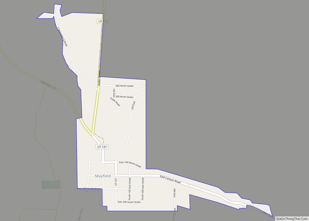
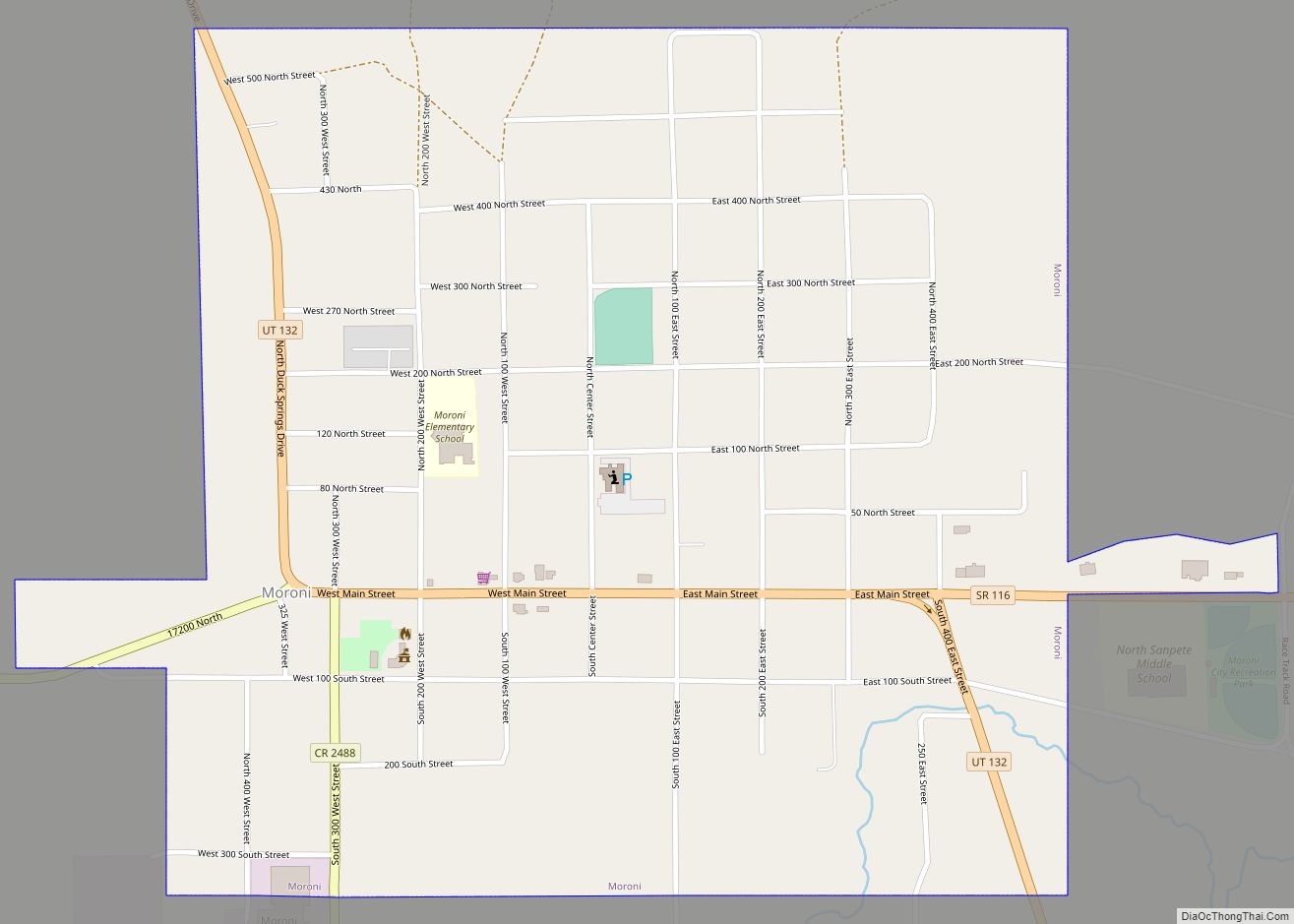
Online Interactive Map
Click on ![]() to view map in "full screen" mode.
to view map in "full screen" mode.
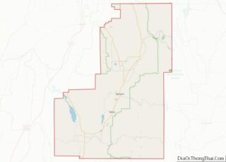
Spring City location map. Where is Spring City city?
History
Spring City was first known as “Allred Settlement”. The original settlers in 1852 were under the leadership of James Allred and most of them were his family members. When an LDS ward was organized there in 1853, Ruben W. Allred was appointed the first bishop. The settlement was abandoned in the summer of 1853 because of ongoing conflict with the indigenous people of the area, the Ute people, including San Pitch Utes, from which Sanpete County derives its name. The village was reestablished as “Springtown” in 1859 by William Black, George Black and Joseph S. Black. Christen G. Larsen was made bishop of a new LDS ward in 1860.
Beginning in 1853, the Allred family and other church leaders began to encourage Danish immigrants to settle in Sanpete County, and, particularly after the community was reestablished in 1859, to join the Allred Settlement.
By the mid-1860s locals referred to the north side of town as “Little Copenhagen” or “Little Denmark”.
Spring City was also a site of fighting during the Black Hawk War.
As of 2018 the city’s mayor Jack Monnett is the only member of the Constitution Party to hold a mayoral seat in the US.
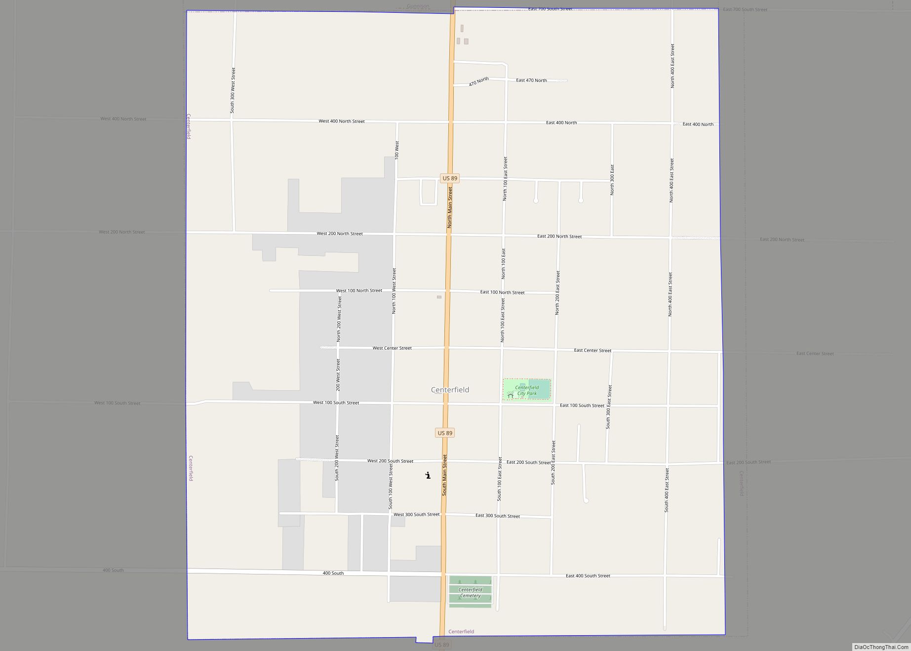
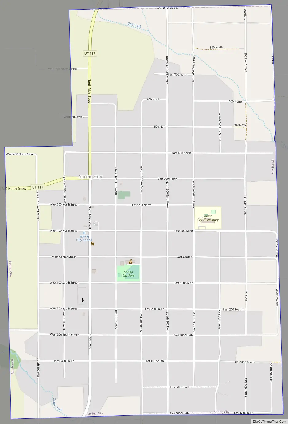
Spring City Road Map
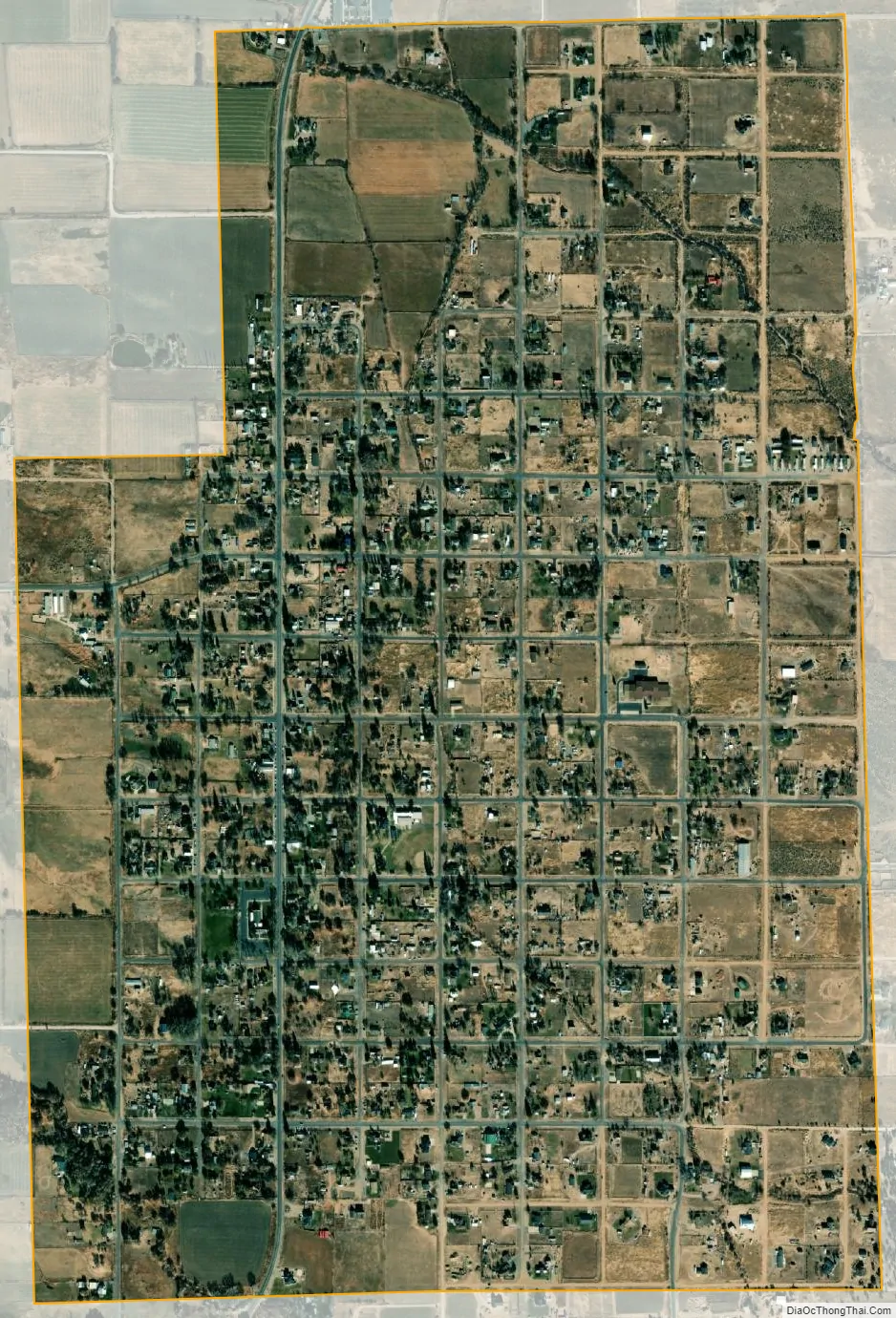
Spring City city Satellite Map
Geography
According to the United States Census Bureau, the city has a total area of 1.3 square miles (3.5 km), all land.
See also
Map of Utah State and its subdivision: Map of other states:- Alabama
- Alaska
- Arizona
- Arkansas
- California
- Colorado
- Connecticut
- Delaware
- District of Columbia
- Florida
- Georgia
- Hawaii
- Idaho
- Illinois
- Indiana
- Iowa
- Kansas
- Kentucky
- Louisiana
- Maine
- Maryland
- Massachusetts
- Michigan
- Minnesota
- Mississippi
- Missouri
- Montana
- Nebraska
- Nevada
- New Hampshire
- New Jersey
- New Mexico
- New York
- North Carolina
- North Dakota
- Ohio
- Oklahoma
- Oregon
- Pennsylvania
- Rhode Island
- South Carolina
- South Dakota
- Tennessee
- Texas
- Utah
- Vermont
- Virginia
- Washington
- West Virginia
- Wisconsin
- Wyoming