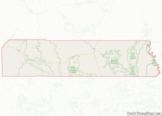
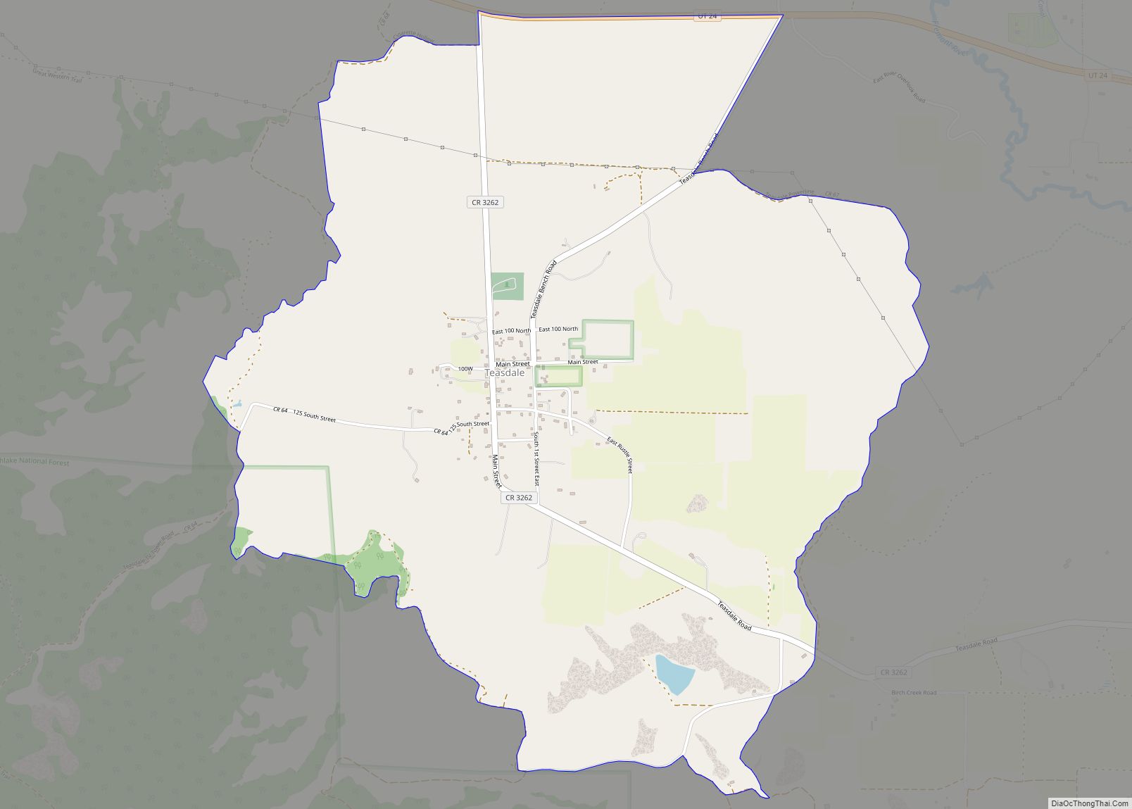
Teasdale is a census-designated place in western Wayne County, Utah, United States, between the Dixie and Fishlake National Forests and near Capitol Reef National Park. The population was 191 at the 2010 census. Teasdale lies along local roads south of State Route 24, southeast of the town of Loa, the county seat of Wayne County. Teasdale has a post office with the ZIP code 84773.
| Name: | Teasdale CDP |
|---|---|
| LSAD Code: | 57 |
| LSAD Description: | CDP (suffix) |
| State: | Utah |
| County: | Wayne County |
| Elevation: | 7,103 ft (2,165 m) |
| Total Area: | 4.0 sq mi (10.4 km²) |
| Land Area: | 4.0 sq mi (10.4 km²) |
| Water Area: | 0 sq mi (0 km²) |
| Total Population: | 191 |
| Population Density: | 48/sq mi (18.4/km²) |
| ZIP code: | 84773 |
| Area code: | 435 |
| FIPS code: | 4975470 |
| GNISfeature ID: | 2629955 |
Online Interactive Map
Click on ![]() to view map in "full screen" mode.
to view map in "full screen" mode.
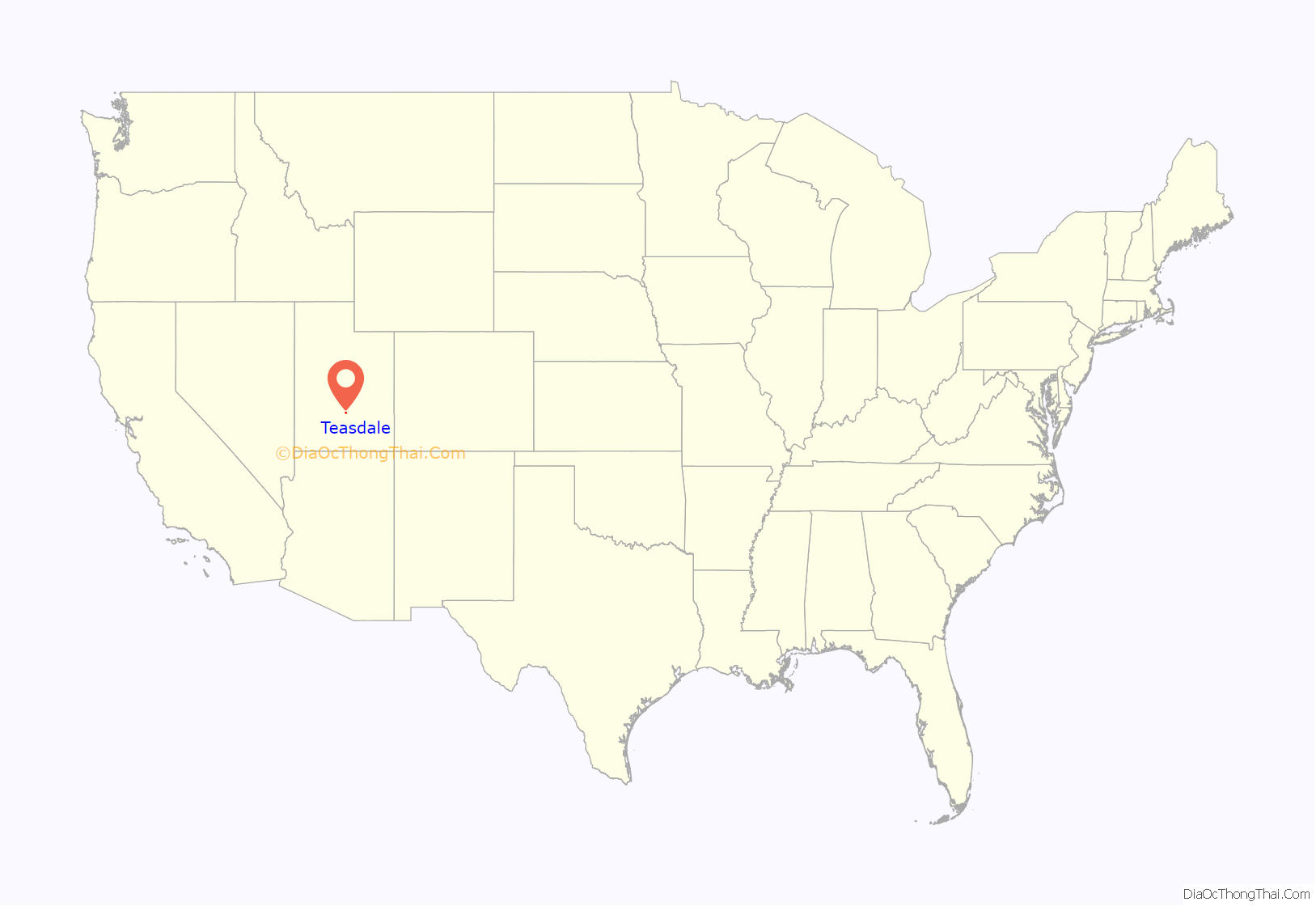
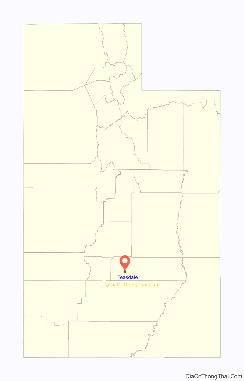
Teasdale location map. Where is Teasdale CDP?
History
The town was founded by LDS settlers. They called it Bullberry Creek named after the creek adjacent to the town. In the early 1900s, the community was named for George Teasdale, a member of the Quorum of the Twelve Apostles of The Church of Jesus Christ of Latter-day Saints (LDS Church).
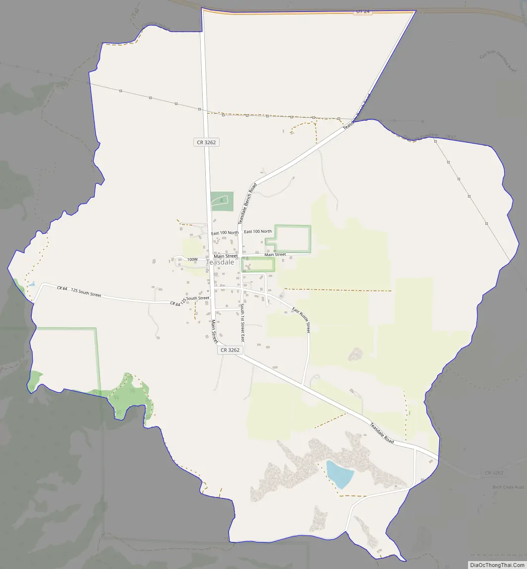
Teasdale Road Map
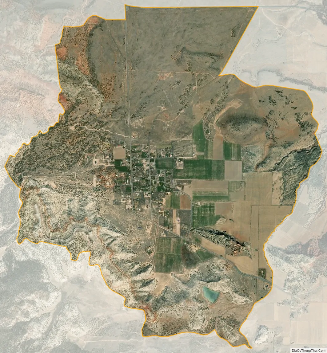
Teasdale city Satellite Map
See also
Map of Utah State and its subdivision: Map of other states:- Alabama
- Alaska
- Arizona
- Arkansas
- California
- Colorado
- Connecticut
- Delaware
- District of Columbia
- Florida
- Georgia
- Hawaii
- Idaho
- Illinois
- Indiana
- Iowa
- Kansas
- Kentucky
- Louisiana
- Maine
- Maryland
- Massachusetts
- Michigan
- Minnesota
- Mississippi
- Missouri
- Montana
- Nebraska
- Nevada
- New Hampshire
- New Jersey
- New Mexico
- New York
- North Carolina
- North Dakota
- Ohio
- Oklahoma
- Oregon
- Pennsylvania
- Rhode Island
- South Carolina
- South Dakota
- Tennessee
- Texas
- Utah
- Vermont
- Virginia
- Washington
- West Virginia
- Wisconsin
- Wyoming