Wellsville is a city in Cache County, Utah, United States. The population was 3,432 at the 2010 census, with an estimated population of 3,849 in 2018. It is included in the Logan, Utah-Idaho Metropolitan Statistical Area.
Wellsville was laid out in 1856, and named after Daniel H. Wells, a Mormon leader.
| Name: | Wellsville city |
|---|---|
| LSAD Code: | 25 |
| LSAD Description: | city (suffix) |
| State: | Utah |
| County: | Cache County |
| Elevation: | 4,547 ft (1,386 m) |
| Total Area: | 7.28 sq mi (18.86 km²) |
| Land Area: | 7.27 sq mi (18.83 km²) |
| Water Area: | 0.01 sq mi (0.04 km²) |
| Total Population: | 3,432 |
| Population Density: | 542.17/sq mi (209.32/km²) |
| ZIP code: | 84339 |
| Area code: | 435 |
| FIPS code: | 4982620 |
| GNISfeature ID: | 1447103 |
| Website: | www.wellsvillecity.com |
Online Interactive Map
Click on ![]() to view map in "full screen" mode.
to view map in "full screen" mode.
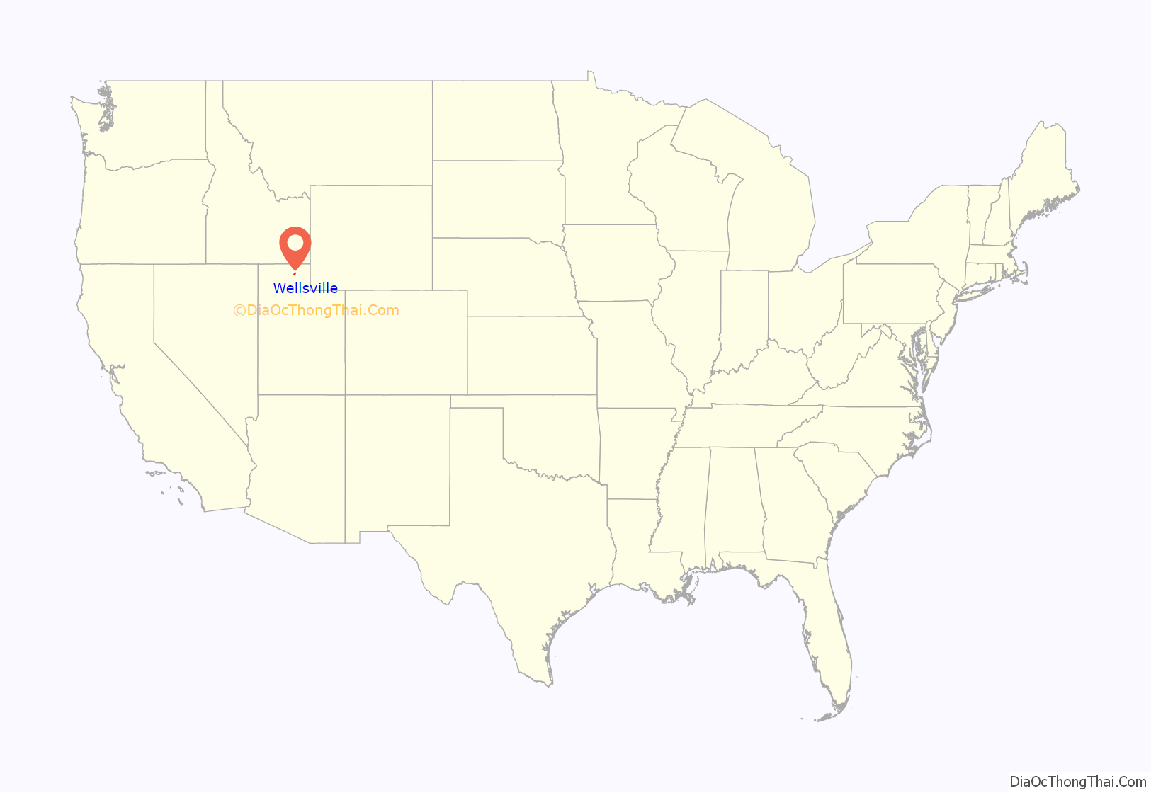
Wellsville location map. Where is Wellsville city?
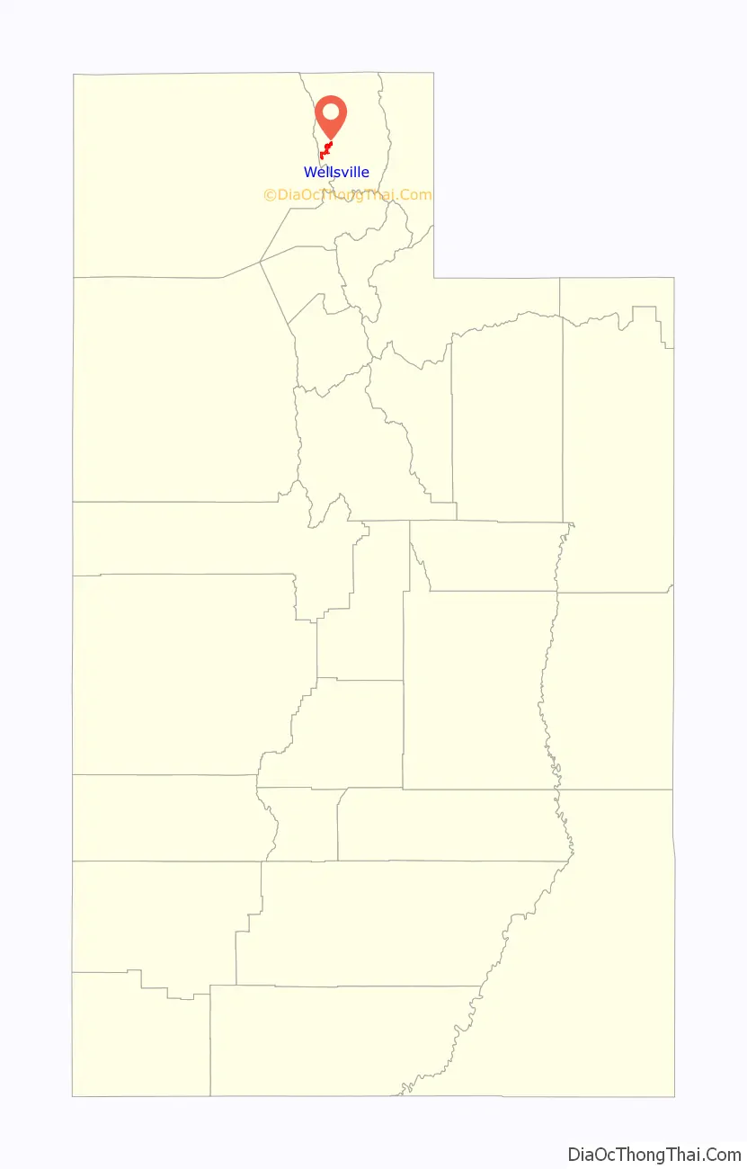
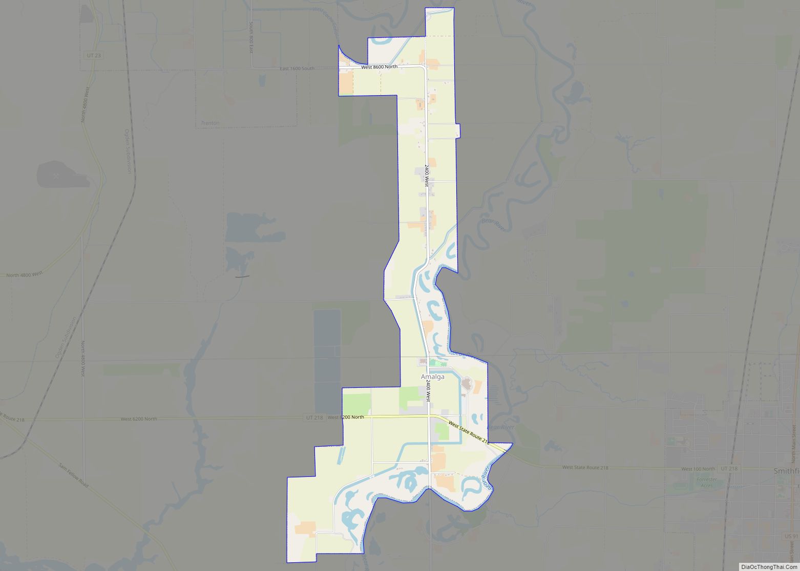
Wellsville Road Map
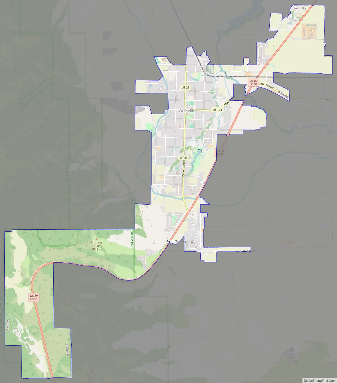
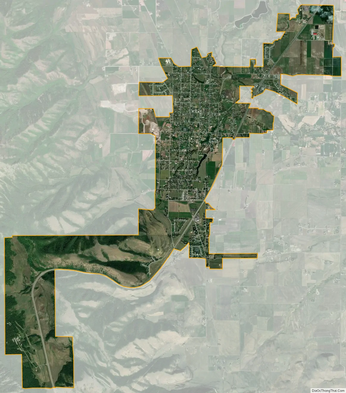
Wellsville city Satellite Map
Geography
Wellsville is on the Eastern side of the Wellsville Mountains. According to the United States Census Bureau, the city has a total area of 6.6 square miles (17.1 km), of which 0.02 square miles (0.04 km), or 0.21%, is water.
Climate
Large seasonal temperature differences typify this climatic region, with warm to hot (and often humid) summers and cold (sometimes severely cold) winters. According to the Köppen Climate Classification system, Wellsville has a humid continental climate, abbreviated “Dfb” on climate maps.
See also
Map of Utah State and its subdivision: Map of other states:- Alabama
- Alaska
- Arizona
- Arkansas
- California
- Colorado
- Connecticut
- Delaware
- District of Columbia
- Florida
- Georgia
- Hawaii
- Idaho
- Illinois
- Indiana
- Iowa
- Kansas
- Kentucky
- Louisiana
- Maine
- Maryland
- Massachusetts
- Michigan
- Minnesota
- Mississippi
- Missouri
- Montana
- Nebraska
- Nevada
- New Hampshire
- New Jersey
- New Mexico
- New York
- North Carolina
- North Dakota
- Ohio
- Oklahoma
- Oregon
- Pennsylvania
- Rhode Island
- South Carolina
- South Dakota
- Tennessee
- Texas
- Utah
- Vermont
- Virginia
- Washington
- West Virginia
- Wisconsin
- Wyoming