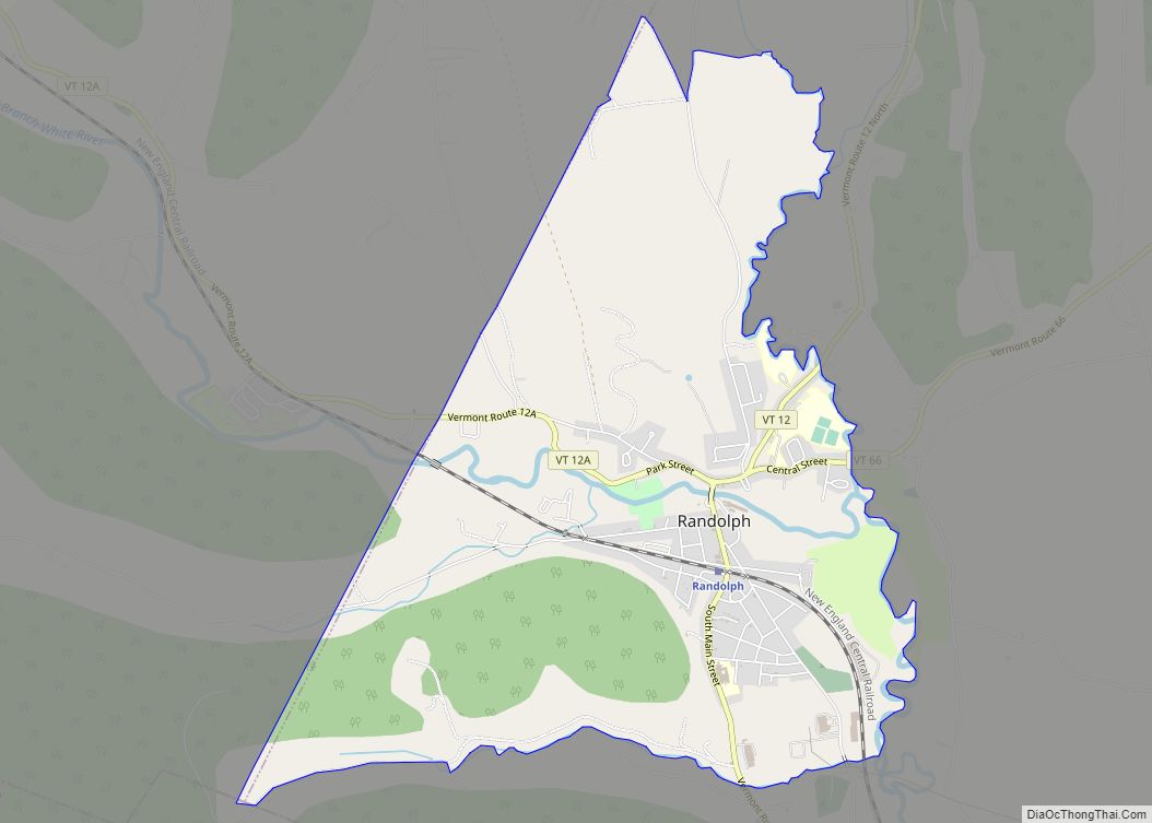
Randolph is the primary village and a census-designated place (CDP) in the town of Randolph, Orange County, Vermont, United States. As of the 2020 census, it had a population of 2,083, out of 4,774 in the entire town of Randolph.
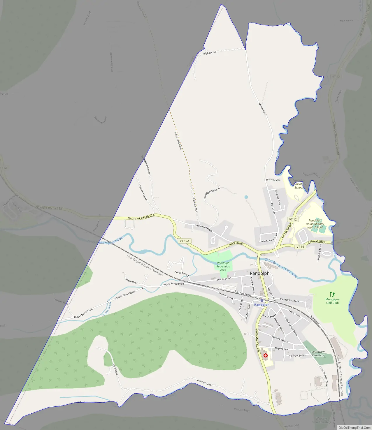
The CDP is in southwestern Orange County, in the southwest corner of the town of Randolph. It is bordered to the east by the Third Branch of the White River and its tributary Ayers Brook, all part of the Connecticut River watershed.
Vermont Route 12 passes through the center of the village as its Main Street, leading north through Brookfield Gulf 17 miles (27 km) to Northfield and south 7 miles (11 km) to Bethel. Vermont Route 12A departs Route 12 in Randolph and leads northwest, then north and northeast 22 miles (35 km) to Northfield. Vermont Route 66 has its western terminus in Randolph and leads east 3 miles (5 km) to Randolph Center and 7 miles (11 km) to East Randolph. Interstate 89 passes 2 miles (3 km) east of Randolph, accessible from Route 66.
The New England Central Railroad passes through the village, with Amtrak passenger service available from Randolph station in the village center.
| Name: | Randolph CDP |
|---|---|
| LSAD Code: | 57 |
| LSAD Description: | CDP (suffix) |
| State: | Vermont |
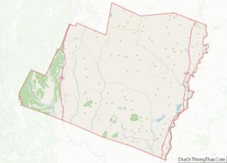
| County: | Orange County |
| Elevation: | 684 ft (208 m) |
| Total Area: | 4.51 sq mi (11.69 km²) |
| Land Area: | 4.47 sq mi (11.59 km²) |
| Water Area: | 0.04 sq mi (0.10 km²) |
| ZIP code: | 05060 |
| Area code: | 802 |
| FIPS code: | 5058000 |
| GNISfeature ID: | 2586650 |
Online Interactive Map
Click on ![]() to view map in "full screen" mode.
to view map in "full screen" mode.
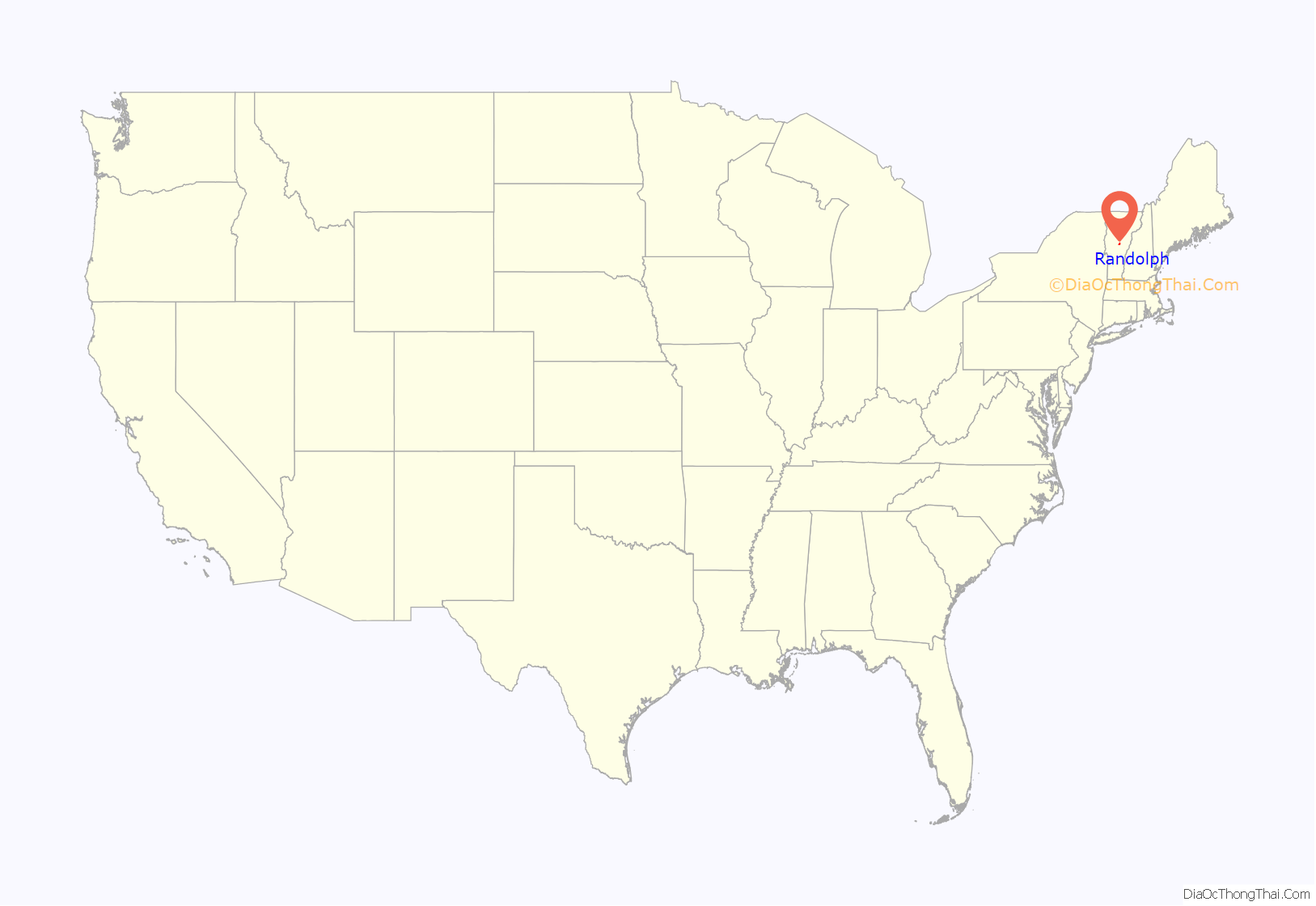
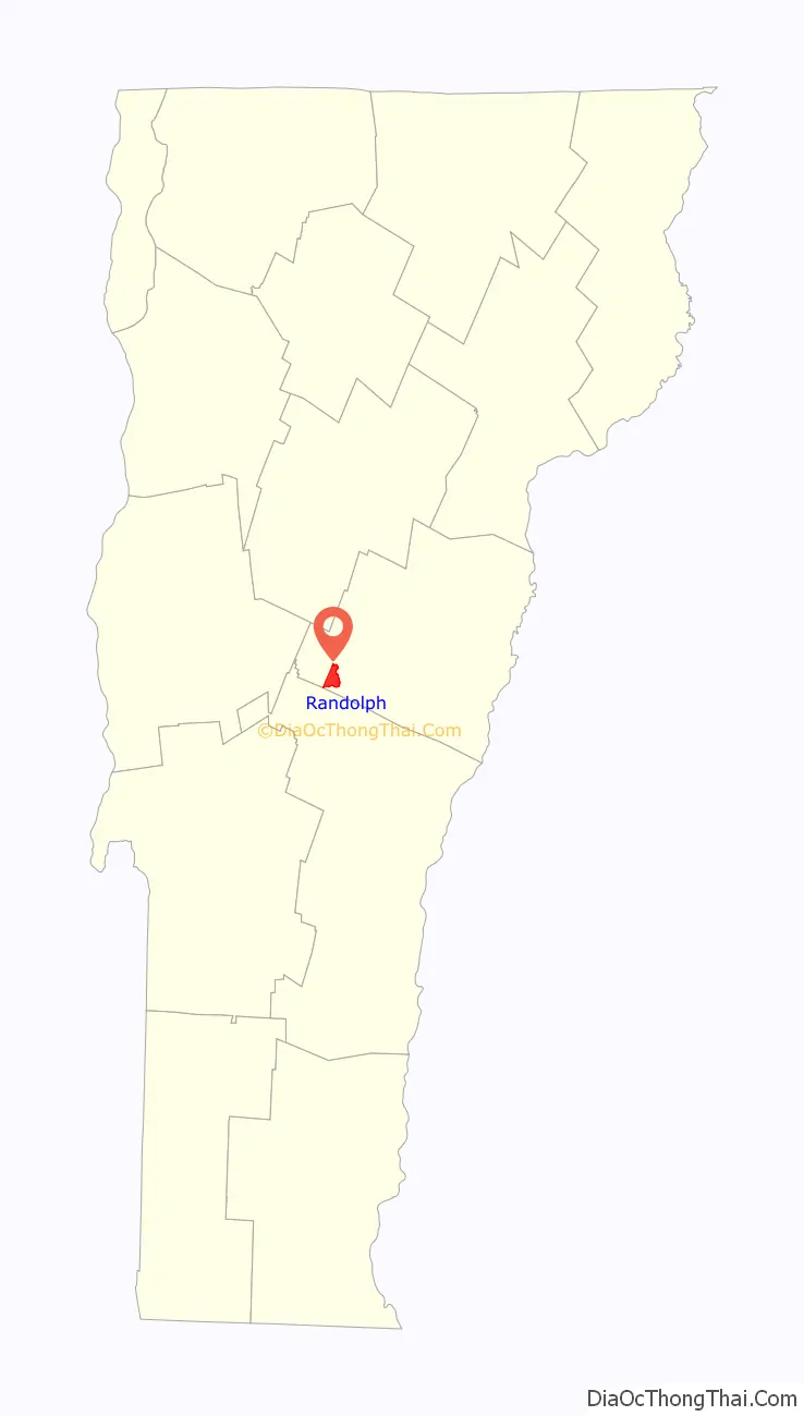
Randolph location map. Where is Randolph CDP?
Randolph Road Map
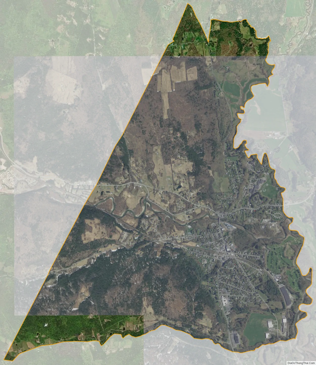
Randolph city Satellite Map
See also
Map of Vermont State and its subdivision: Map of other states:- Alabama
- Alaska
- Arizona
- Arkansas
- California
- Colorado
- Connecticut
- Delaware
- District of Columbia
- Florida
- Georgia
- Hawaii
- Idaho
- Illinois
- Indiana
- Iowa
- Kansas
- Kentucky
- Louisiana
- Maine
- Maryland
- Massachusetts
- Michigan
- Minnesota
- Mississippi
- Missouri
- Montana
- Nebraska
- Nevada
- New Hampshire
- New Jersey
- New Mexico
- New York
- North Carolina
- North Dakota
- Ohio
- Oklahoma
- Oregon
- Pennsylvania
- Rhode Island
- South Carolina
- South Dakota
- Tennessee
- Texas
- Utah
- Vermont
- Virginia
- Washington
- West Virginia
- Wisconsin
- Wyoming