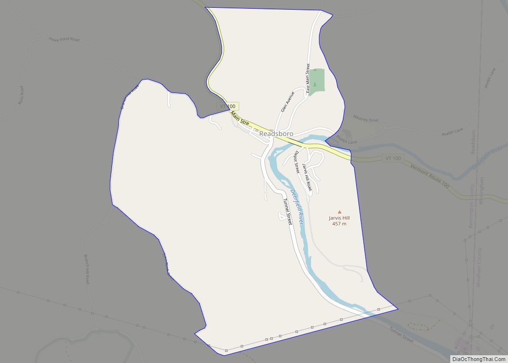
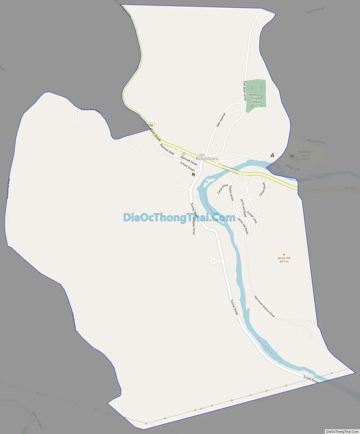
Readsboro is the primary village and a census-designated place (CDP) in the town of Readsboro, Bennington County, Vermont, United States. As of the 2020 census, it had a population of 297, out of 702 in the entire town of Readsboro.
It is in southeastern Bennington County, in the southeast part of the town of Readsboro, mainly on the west side of the Deerfield River, a south-flowing tributary of the Connecticut River. Vermont Route 100 passes through the village, leading northwest 5 miles (8 km) to Vermont Route 8 at Heartwellville and east 8 miles (13 km) to Vermont Route 112 at Jacksonville. Bennington, the county seat, is 24 miles (39 km) to the northwest via Routes 100, 8, and 9.
| Name: | Readsboro CDP |
|---|---|
| LSAD Code: | 57 |
| LSAD Description: | CDP (suffix) |
| State: | Vermont |
| County: | Bennington County |
| Elevation: | 1,233.3 ft (375.9 m) |
| Total Area: | 1.24 sq mi (3.21 km²) |
| Land Area: | 1.23 sq mi (3.18 km²) |
| Water Area: | 0.01 sq mi (0.03 km²) |
| ZIP code: | 05350 |
| Area code: | 802 |
| FIPS code: | 5058525 |
| GNISfeature ID: | 2584793 |
Online Interactive Map
Click on ![]() to view map in "full screen" mode.
to view map in "full screen" mode.
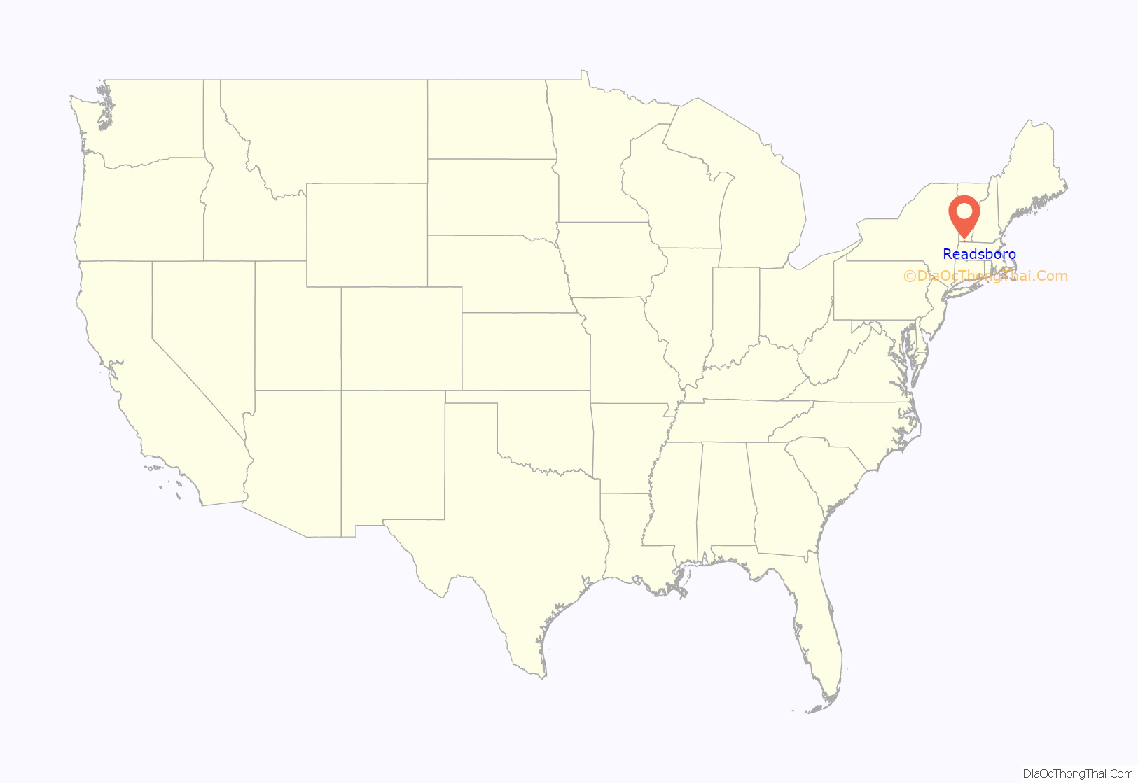
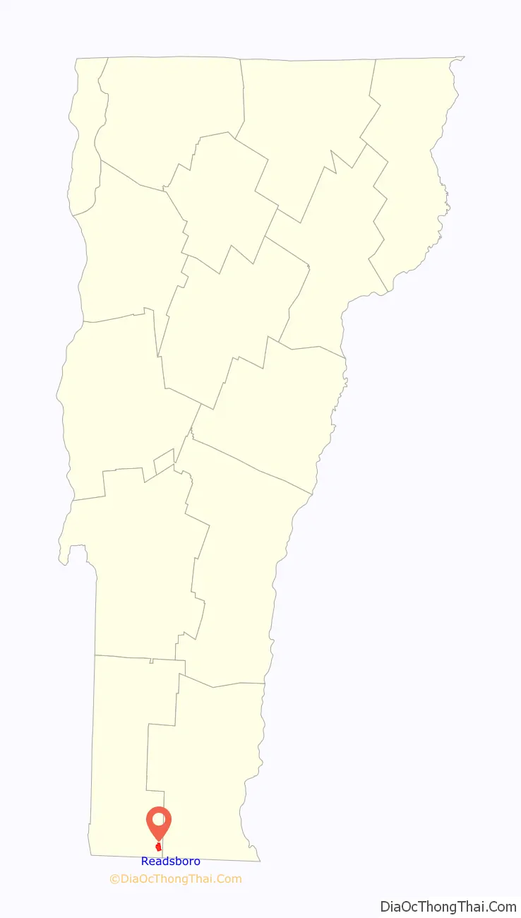
Readsboro location map. Where is Readsboro CDP?
Readsboro Road Map
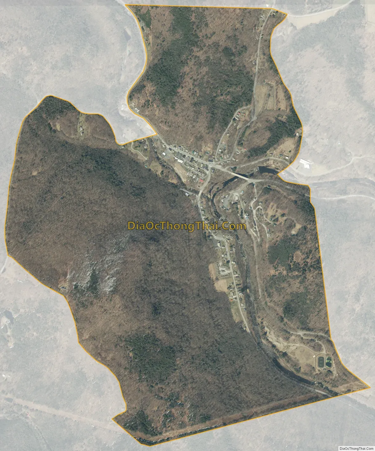
Readsboro city Satellite Map
See also
Map of Vermont State and its subdivision: Map of other states:- Alabama
- Alaska
- Arizona
- Arkansas
- California
- Colorado
- Connecticut
- Delaware
- District of Columbia
- Florida
- Georgia
- Hawaii
- Idaho
- Illinois
- Indiana
- Iowa
- Kansas
- Kentucky
- Louisiana
- Maine
- Maryland
- Massachusetts
- Michigan
- Minnesota
- Mississippi
- Missouri
- Montana
- Nebraska
- Nevada
- New Hampshire
- New Jersey
- New Mexico
- New York
- North Carolina
- North Dakota
- Ohio
- Oklahoma
- Oregon
- Pennsylvania
- Rhode Island
- South Carolina
- South Dakota
- Tennessee
- Texas
- Utah
- Vermont
- Virginia
- Washington
- West Virginia
- Wisconsin
- Wyoming