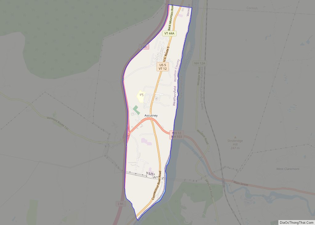
South Royalton is an unincorporated village and census-designated place (CDP) in the town of Royalton, Windsor County, Vermont, United States. With a population at the 2010 census of 694, South Royalton is the largest community in the town. It is home to the Vermont Law School. The central portion of the village is a historic district, listed on the National Register of Historic Places as the South Royalton Historic District. The Joseph Smith Birthplace Memorial is located approximately two miles to the east. South Royalton is the town pictured in the opening credits of the WB television show Gilmore Girls.
| Name: | South Royalton CDP |
|---|---|
| LSAD Code: | 57 |
| LSAD Description: | CDP (suffix) |
| State: | Vermont |
| County: | Windsor County |
| Elevation: | 490 ft (150 m) |
| Total Area: | 1.2 sq mi (3.1 km²) |
| Land Area: | 1.1 sq mi (2.9 km²) |
| Water Area: | 0.08 sq mi (0.2 km²) |
| Total Population: | 694 |
| Population Density: | 580/sq mi (220/km²) |
| ZIP code: | 05068 |
| Area code: | 802 |
| FIPS code: | 5068050 |
| GNISfeature ID: | 1459612 |
Online Interactive Map
Click on ![]() to view map in "full screen" mode.
to view map in "full screen" mode.
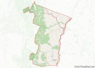
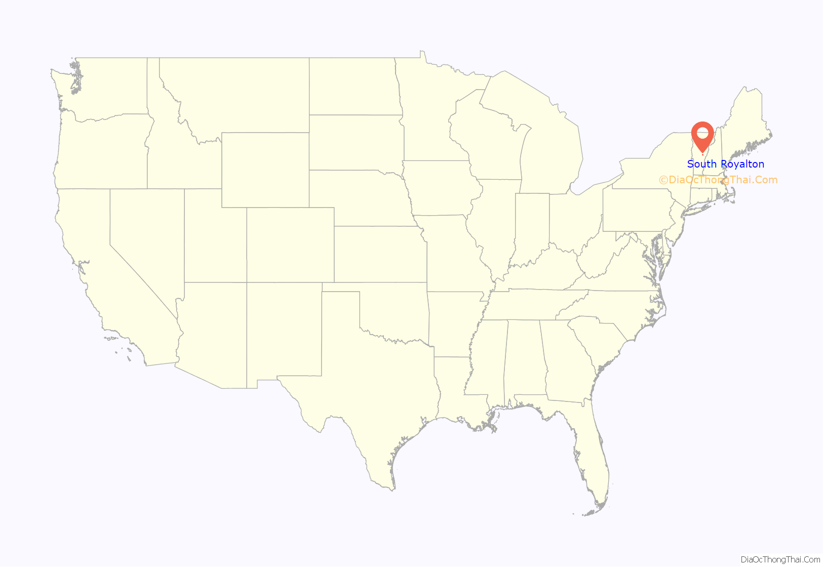
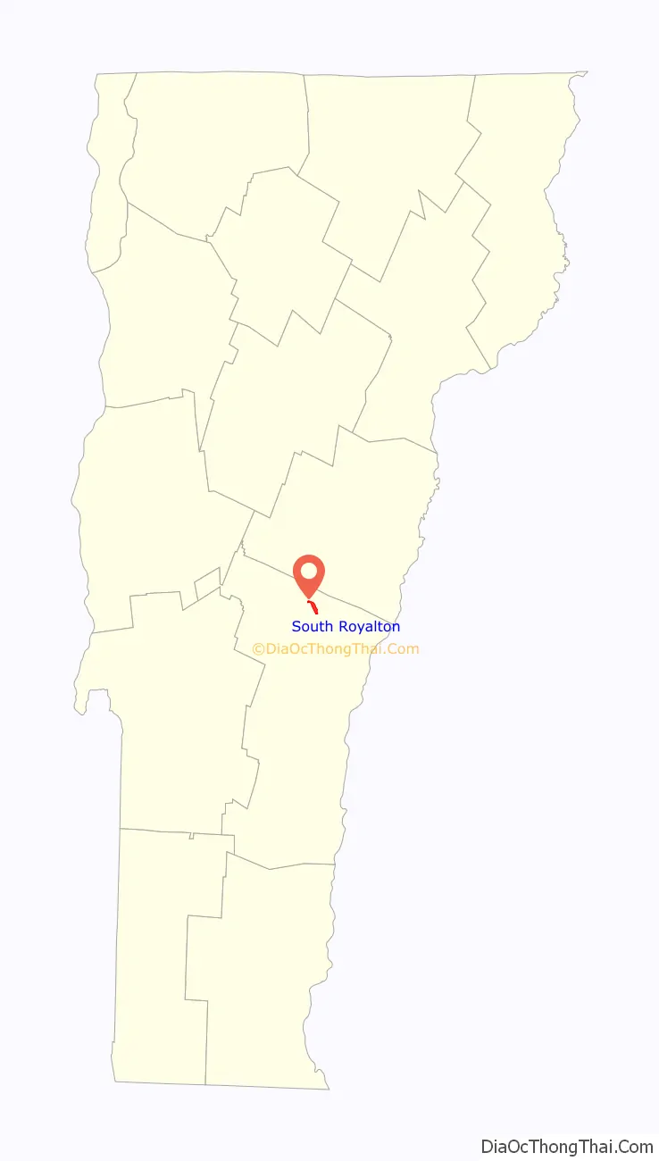
South Royalton location map. Where is South Royalton CDP?
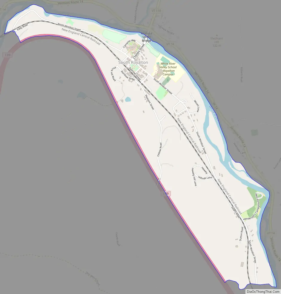
South Royalton Road Map
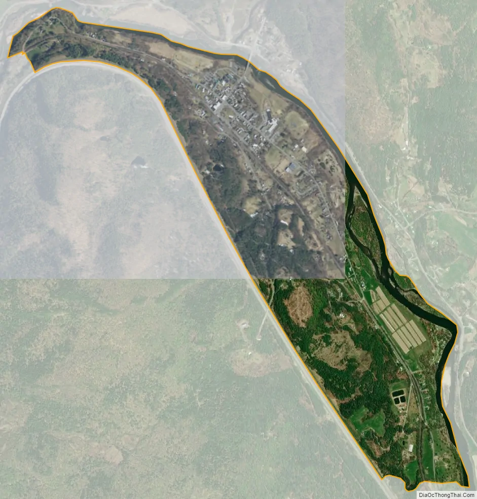
South Royalton city Satellite Map
Geography
South Royalton is located in northern Windsor County along the White River. Vermont Route 14 runs along the north side of the river, just outside the CDP limits, leading southeast to White River Junction and northwest to Barre. Vermont Route 110 leads north from South Royalton into Tunbridge. Interstate 89 passes to the west of the village but does not serve it with a direct exit. Access to South Royalton is either from Exit 2 (at Sharon) or Exit 3 (at North Royalton).
See also
Map of Vermont State and its subdivision: Map of other states:- Alabama
- Alaska
- Arizona
- Arkansas
- California
- Colorado
- Connecticut
- Delaware
- District of Columbia
- Florida
- Georgia
- Hawaii
- Idaho
- Illinois
- Indiana
- Iowa
- Kansas
- Kentucky
- Louisiana
- Maine
- Maryland
- Massachusetts
- Michigan
- Minnesota
- Mississippi
- Missouri
- Montana
- Nebraska
- Nevada
- New Hampshire
- New Jersey
- New Mexico
- New York
- North Carolina
- North Dakota
- Ohio
- Oklahoma
- Oregon
- Pennsylvania
- Rhode Island
- South Carolina
- South Dakota
- Tennessee
- Texas
- Utah
- Vermont
- Virginia
- Washington
- West Virginia
- Wisconsin
- Wyoming