Wilder is an unincorporated village and census-designated place (CDP) within the town of Hartford in Windsor County, Vermont, United States. It is the location of the Wilder Dam on the Connecticut River. The population of the CDP was 1,690 at the 2010 census. The village center is an early example of a planned mill community, and was listed on the National Register of Historic Places as the Wilder Village Historic District in 1999.
| Name: | Wilder CDP |
|---|---|
| LSAD Code: | 57 |
| LSAD Description: | CDP (suffix) |
| State: | Vermont |
| County: | Windsor County |
| Elevation: | 427 ft (130 m) |
| Total Area: | 0.8 sq mi (2.1 km²) |
| Land Area: | 0.8 sq mi (2.1 km²) |
| Water Area: | 0.0 sq mi (0.0 km²) |
| Total Population: | 1,690 |
| Population Density: | 2,100/sq mi (800/km²) |
| ZIP code: | 05088 |
| Area code: | 802 |
| FIPS code: | 5084025 |
| GNISfeature ID: | 1460253 |
Online Interactive Map
Click on ![]() to view map in "full screen" mode.
to view map in "full screen" mode.
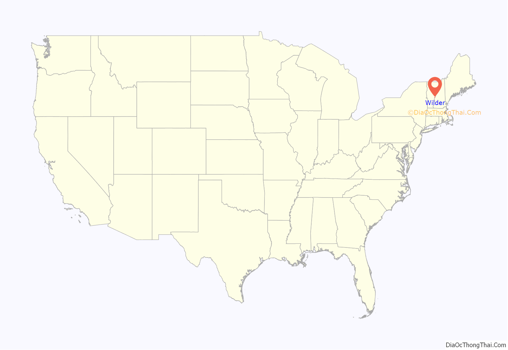
Wilder location map. Where is Wilder CDP?
History
The village, originally known as Olcott Falls, is unique as an early planned community developed in part by Charles Wilder, owner of a local paper mill in the 1880s. One feature of Wilder’s plan was an orderly street plan in which streets were laid out at right angles, with several of the streets named after trees. The village was renamed in honor of Charles Wilder in 1897.
As of the earliest years of the 20th century, the local paper mill was operated by International Paper and Wilder boasted a railroad station, a post office, several retail stores, and electric street lighting. An iron bridge contributed by Charles Wilder spanned the Connecticut River at Wilder. The bridge, the paper mill, and the dam that supplied power to the mill were all demolished in 1950 for the construction of Wilder Dam.
The Wilder Village Historic District was listed on the National Register of Historic Places in 1999. The district covers 40 acres (0.16 km) and contains 203 contributing resources. It includes examples of Queen Anne and Colonial Revival style architecture with houses dating from the late 19th century to the 1950s. It encompasses the main surviving portions of Wilder’s planned community, and is roughly bounded on the north by Chestnut Street, the east by Passumpsic Avenue, the south by Horseshoe Avenue, and the west by Hartford Avenue (United States Route 5). This area is largely residential, with only a few commercial buildings and the local public library among the exceptions.
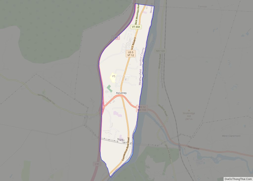
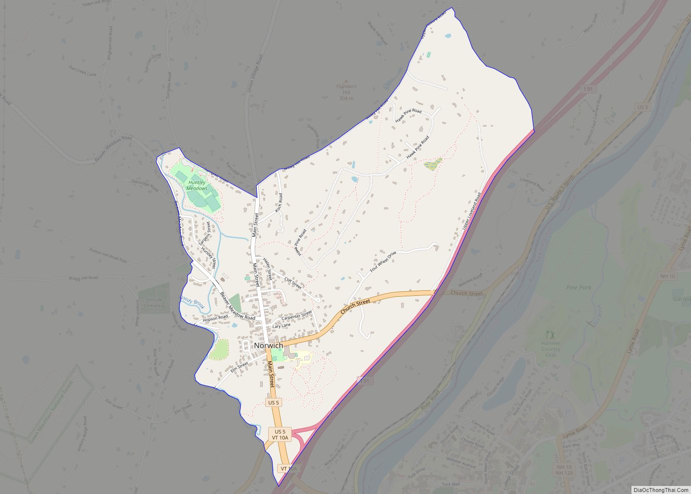
Wilder Road Map
Wilder city Satellite Map
Geography
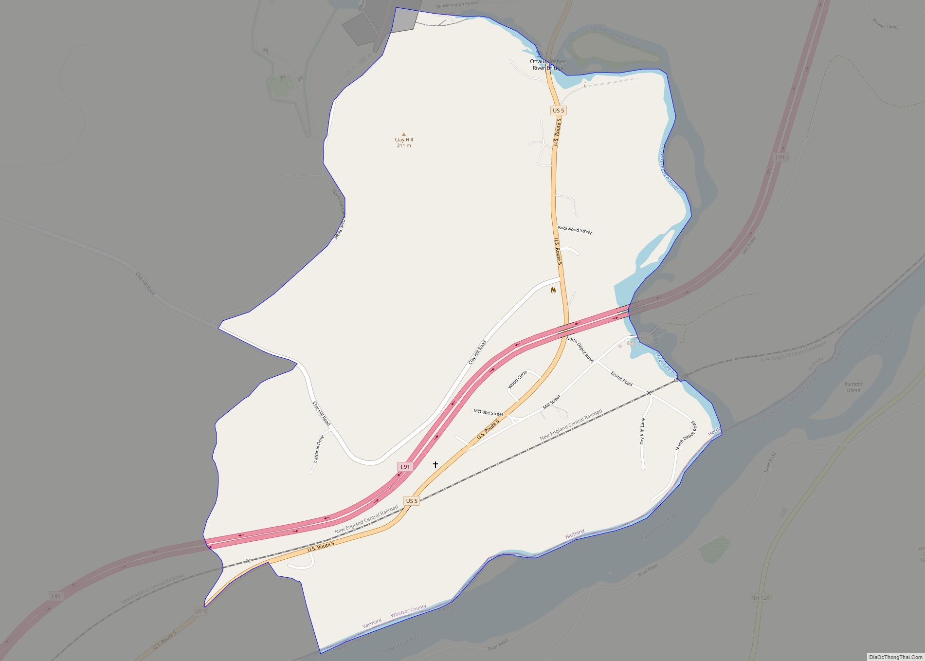
Wilder is adjacent to the Connecticut River and immediately north of the village of White River Junction. The CDP is bounded on the west by Interstate 91. According to the United States Census Bureau, the CDP has a total area of 2.1 km (0.8 mi), of which 2.1 km (0.8 mi) is land and 1.22% is water.
See also
Map of Vermont State and its subdivision: Map of other states:- Alabama
- Alaska
- Arizona
- Arkansas
- California
- Colorado
- Connecticut
- Delaware
- District of Columbia
- Florida
- Georgia
- Hawaii
- Idaho
- Illinois
- Indiana
- Iowa
- Kansas
- Kentucky
- Louisiana
- Maine
- Maryland
- Massachusetts
- Michigan
- Minnesota
- Mississippi
- Missouri
- Montana
- Nebraska
- Nevada
- New Hampshire
- New Jersey
- New Mexico
- New York
- North Carolina
- North Dakota
- Ohio
- Oklahoma
- Oregon
- Pennsylvania
- Rhode Island
- South Carolina
- South Dakota
- Tennessee
- Texas
- Utah
- Vermont
- Virginia
- Washington
- West Virginia
- Wisconsin
- Wyoming
