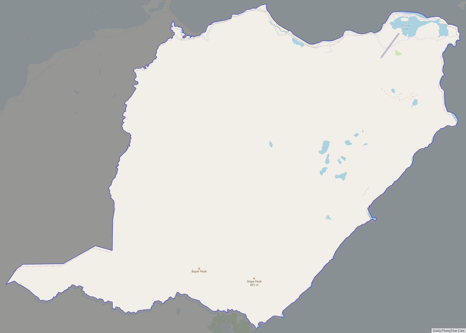
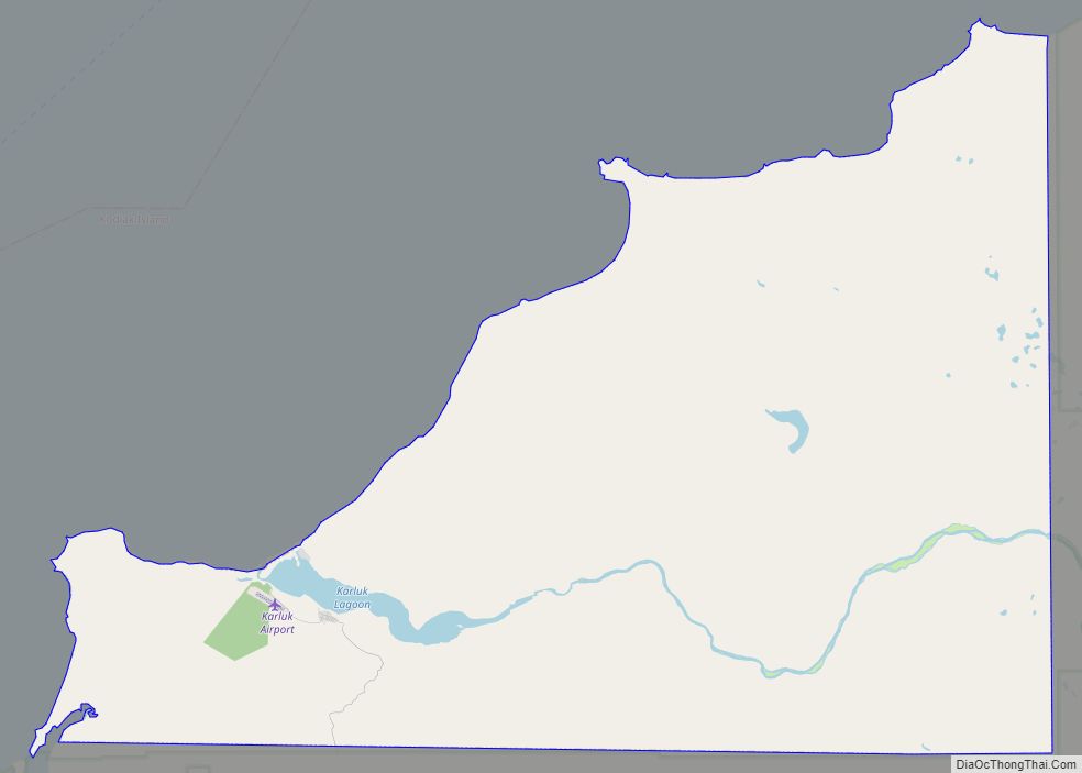
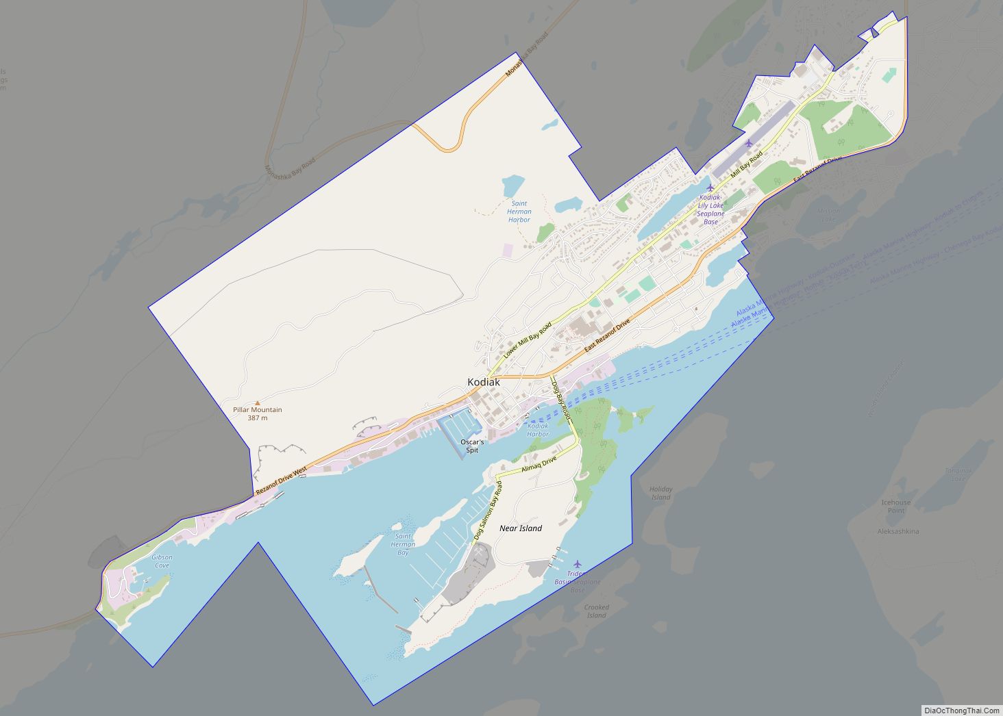
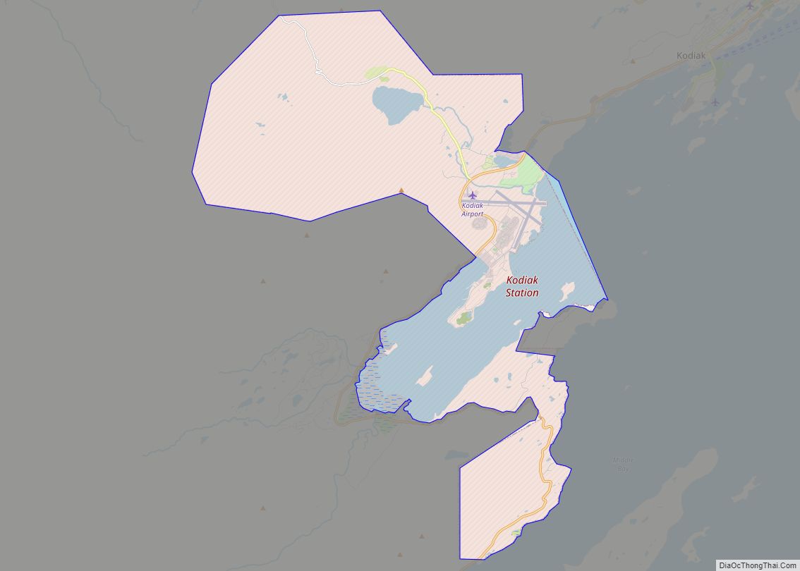
Akhiok (Kasukuak in Alutiiq; Russian: Акхиок) is a second-class city in Kodiak Island Borough, Alaska, United States. Akhiok is Kodiak’s southernmost village. The population was 63 at the 2020 census. Akhiok, which does not have a post office, is a rural location in postal code 99615 that belongs to Kodiak. The village is sometimes called Alitak, after a nearby bay.
| Name: | Akhiok city |
|---|---|
| LSAD Code: | 25 |
| LSAD Description: | city (suffix) |
| State: | Alaska |
| County: | Kodiak Island Borough |
| Incorporated: | November 20, 1972 |
| Elevation: | 30 ft (9 m) |
| Total Area: | 9.61 sq mi (24.89 km²) |
| Land Area: | 7.40 sq mi (19.17 km²) |
| Water Area: | 2.21 sq mi (5.72 km²) |
| Total Population: | 63 |
| Population Density: | 8.51/sq mi (3.29/km²) |
| ZIP code: | 99615 |
| Area code: | 907 |
| FIPS code: | 0200650 |
| GNISfeature ID: | 1398007 |
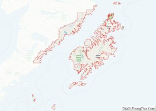
Online Interactive Map
Click on ![]() to view map in "full screen" mode.
to view map in "full screen" mode.
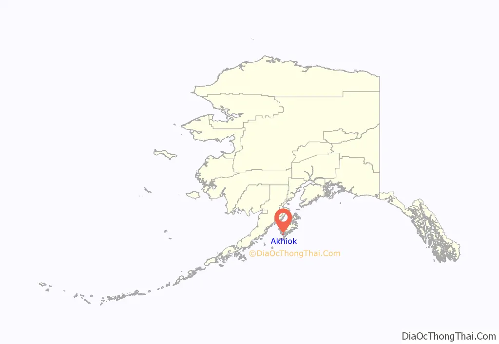
Akhiok location map. Where is Akhiok city?
History
Akhiok is an Alutiiq village dependent upon fishing and subsistence activities. The original village of Kashukugniut was occupied by Russians in the early 19th century. The community was originally a sea otter hunting settlement, located at Humpy Cove. The name Akhiok was reported in the 1880 census. In 1881, residents relocated to the present site at Alitak Bay. The relocation was, in part, based on the switch to a fishing economy. Most families gain their livelihood from fishing, either directly by fishing for salmon and halibut or by working in a nearby cannery. The community’s Russian Orthodox church, Protection of the Theotokos Chapel, was built around 1900 at the site of an earlier structure. A post office was established in 1933. Residents of nearby Kaguyak relocated to Akhiok after the 1964 earthquake and tsunami destroyed their village. The city was incorporated in 1972.
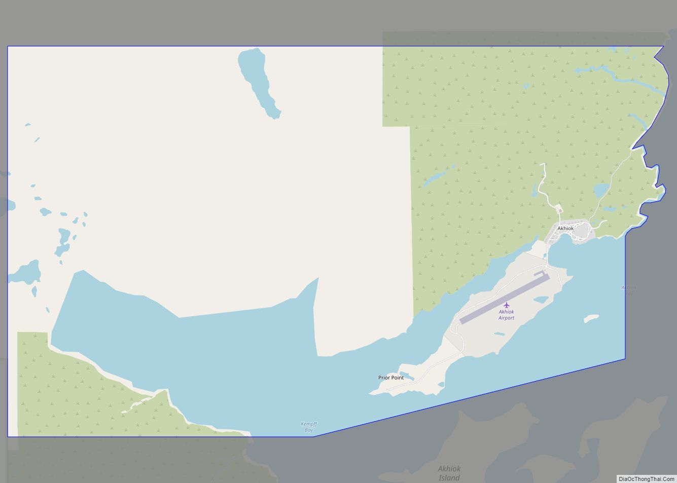
Akhiok Road Map
Akhiok city Satellite Map
See also
Map of Alaska State and its subdivision:- Aleutians East
- Aleutians West
- Anchorage
- Bethel
- Bristol Bay
- Denali
- Dillingham
- Fairbanks North Star
- Haines
- Juneau
- Kenai Peninsula
- Ketchikan Gateway
- Kodiak Island
- Lake and Peninsula
- Matanuska-Susitna
- Nome
- North Slope
- Northwest Arctic
- Prince of Wales-Outer Ketchi
- Sitka
- Skagway-Yakutat-Angoon
- Southeast Fairbanks
- Valdez-Cordova
- Wade Hampton
- Wrangell-Petersburg
- Yukon-Koyukuk
- Alabama
- Alaska
- Arizona
- Arkansas
- California
- Colorado
- Connecticut
- Delaware
- District of Columbia
- Florida
- Georgia
- Hawaii
- Idaho
- Illinois
- Indiana
- Iowa
- Kansas
- Kentucky
- Louisiana
- Maine
- Maryland
- Massachusetts
- Michigan
- Minnesota
- Mississippi
- Missouri
- Montana
- Nebraska
- Nevada
- New Hampshire
- New Jersey
- New Mexico
- New York
- North Carolina
- North Dakota
- Ohio
- Oklahoma
- Oregon
- Pennsylvania
- Rhode Island
- South Carolina
- South Dakota
- Tennessee
- Texas
- Utah
- Vermont
- Virginia
- Washington
- West Virginia
- Wisconsin
- Wyoming
