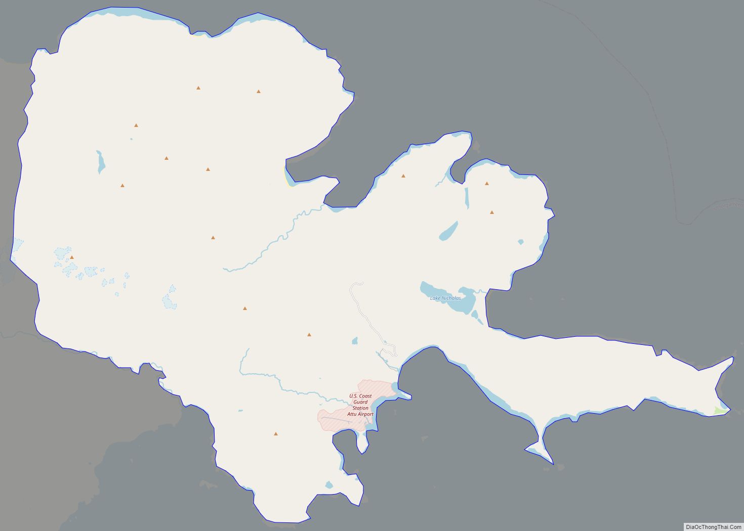
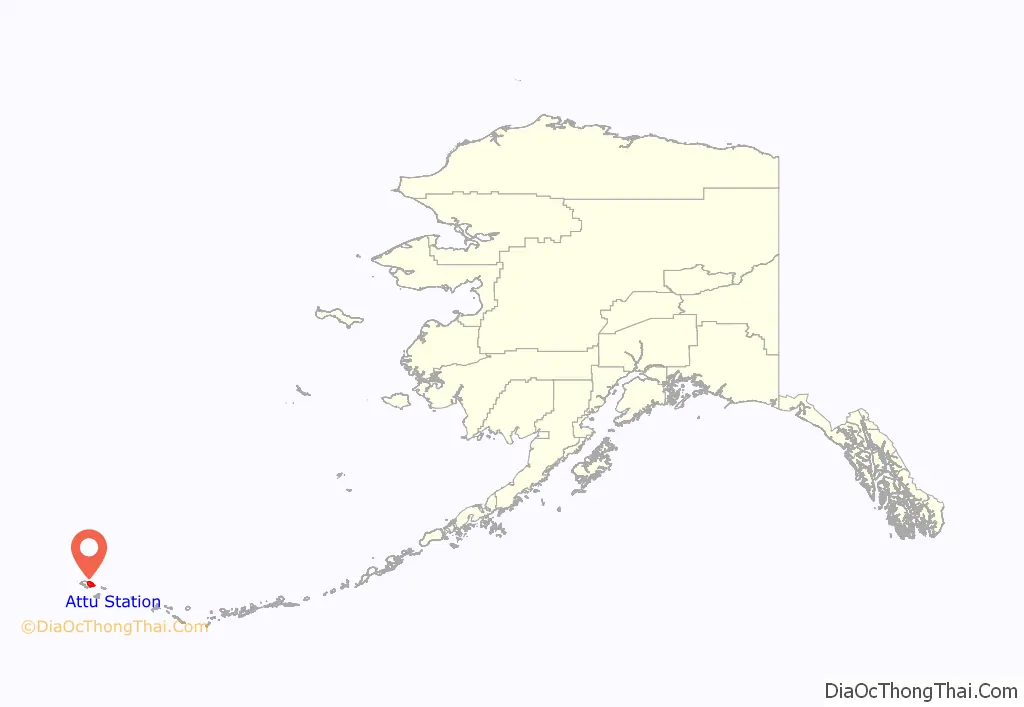
Attu Station is a census-designated place (CDP) located on Attu Island in the Aleutians West Census Area in the U.S. state of Alaska. The population was 21 at the 2010 census, consisting entirely of coast guard personnel who resided and worked at Casco Cove Coast Guard Station, but left the island when the station was closed in August 2010, leaving it uninhabited. LORAN Station Attu had provided a navigational signal for mariners of the North Pacific since the 1970s.
Although often considered the westernmost place in the United States, due to its location relative to the rest of the country, Attu Station is actually one of the easternmost points in the United States, located at 52°50′47″N 173°11′10″E / 52.84639°N 173.18611°E / 52.84639; 173.18611Coordinates: 52°50′47″N 173°11′10″E / 52.84639°N 173.18611°E / 52.84639; 173.18611, on the opposite side of the 180th meridian from the rest of the United States because it’s past the geological time zone.(See Extreme Points of the United States, even though Attu is not listed there).
| Name: | Attu Station CDP |
|---|---|
| LSAD Code: | 57 |
| LSAD Description: | CDP (suffix) |
| State: | Alaska |
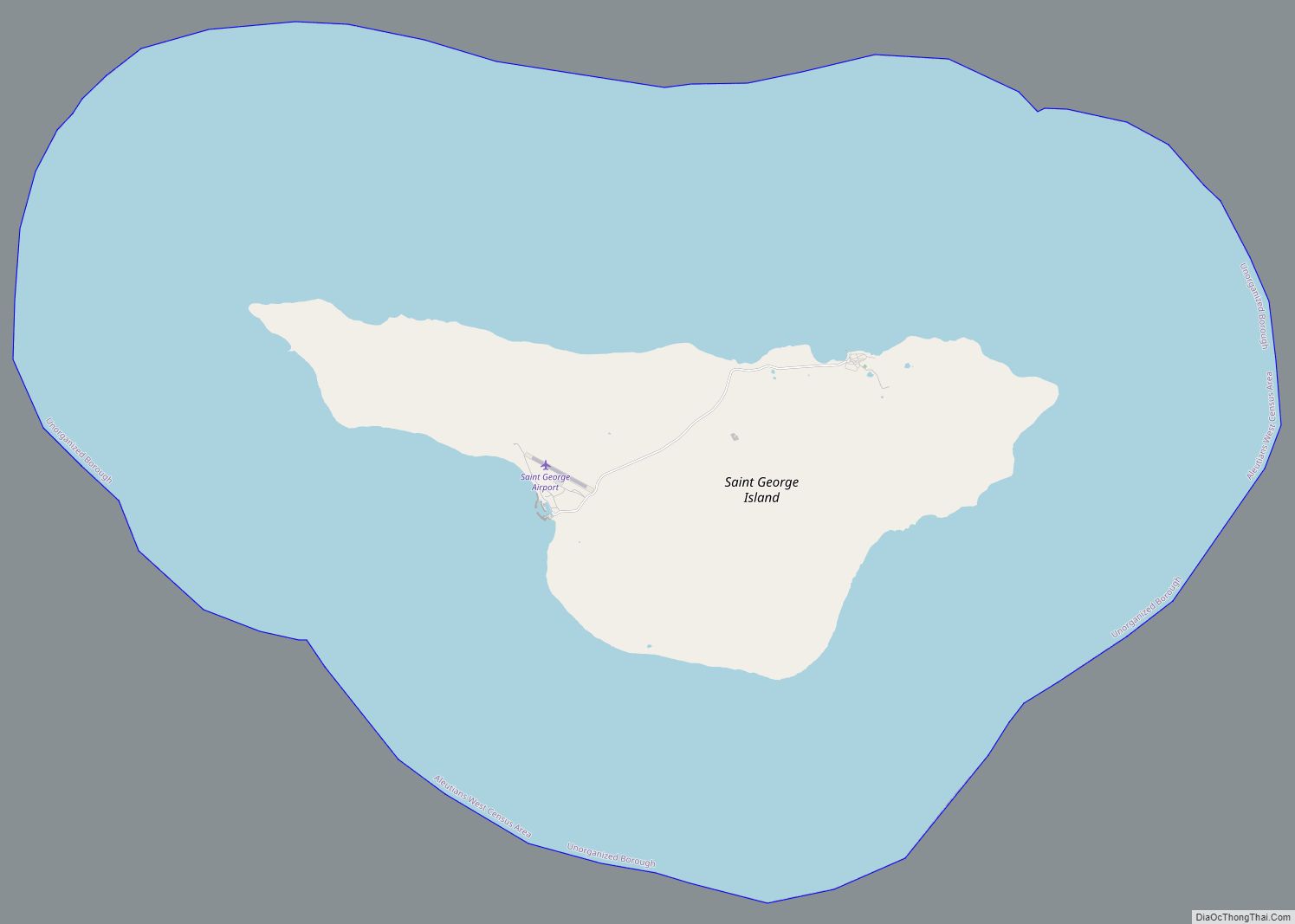
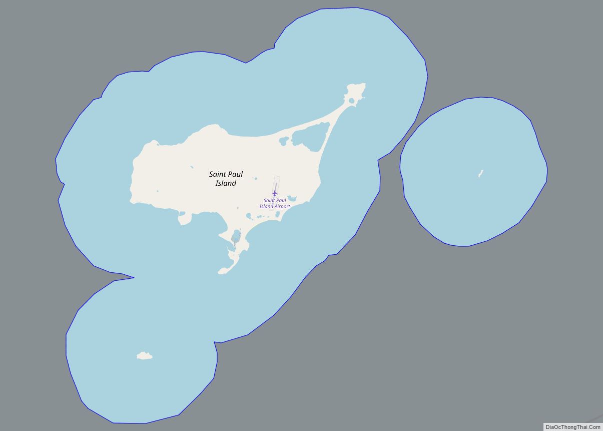
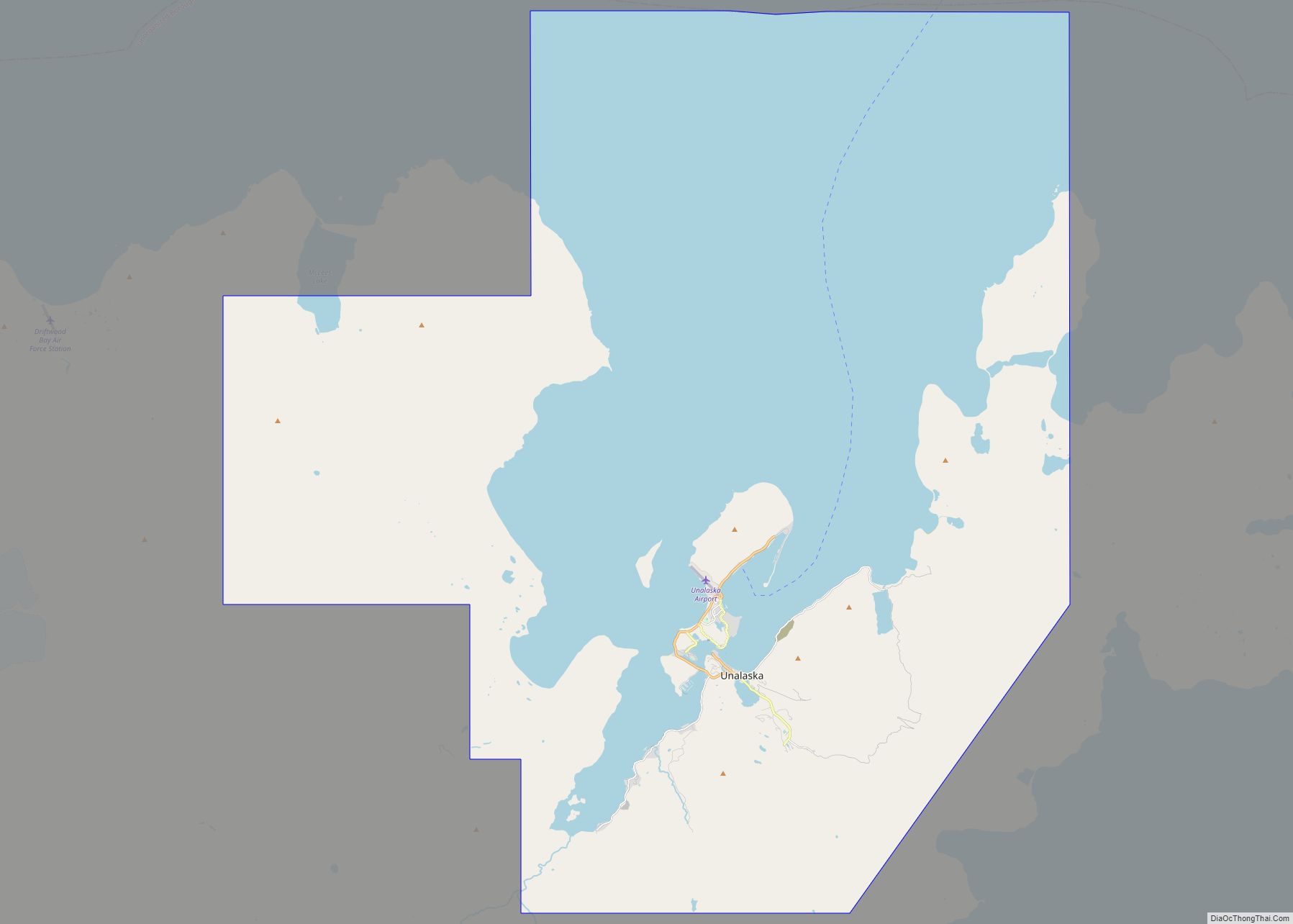
| County: | Aleutians West Census Area |
| Total Area: | 143.62 sq mi (371.97 km²) |
| Land Area: | 142.54 sq mi (369.17 km²) |
| Water Area: | 1.08 sq mi (2.80 km²) |
| Total Population: | 0 |
| Population Density: | 0.00/sq mi (0.00/km²) |
| Area code: | 907 |
| FIPS code: | 0204670 |
Online Interactive Map
Click on ![]() to view map in "full screen" mode.
to view map in "full screen" mode.
Attu Station location map. Where is Attu Station CDP?
History
After the Japanese invasion of Attu Island and the battle to retake it, the United States government constructed a LORAN station on the southern tip of the island, at Theodore Point. The equipment to build the station came from Holtz Bay and was ferried on barges and landing craft to Baxter Cove, about 1 mi (1.6 km) east of the station. Bulldozers were used to cut a road from Baxter Cove to Theodore Point.
In 1960, the station was moved to Casco Cove, near the former United States Navy base at Massacre Bay. Later, it was moved to Massacre Bay. LORAN Station Attu ceased transmission of the LORAN signal on February 8, 2010 and the Russian-American signal ceased on August 1, 2010.
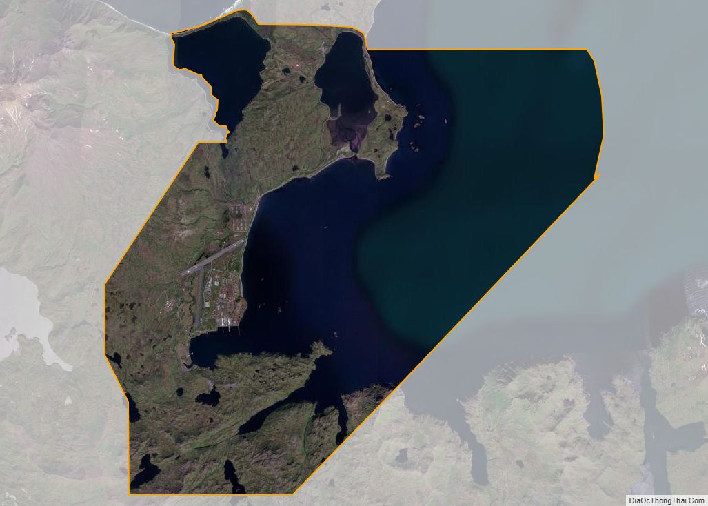
Attu Station Road Map

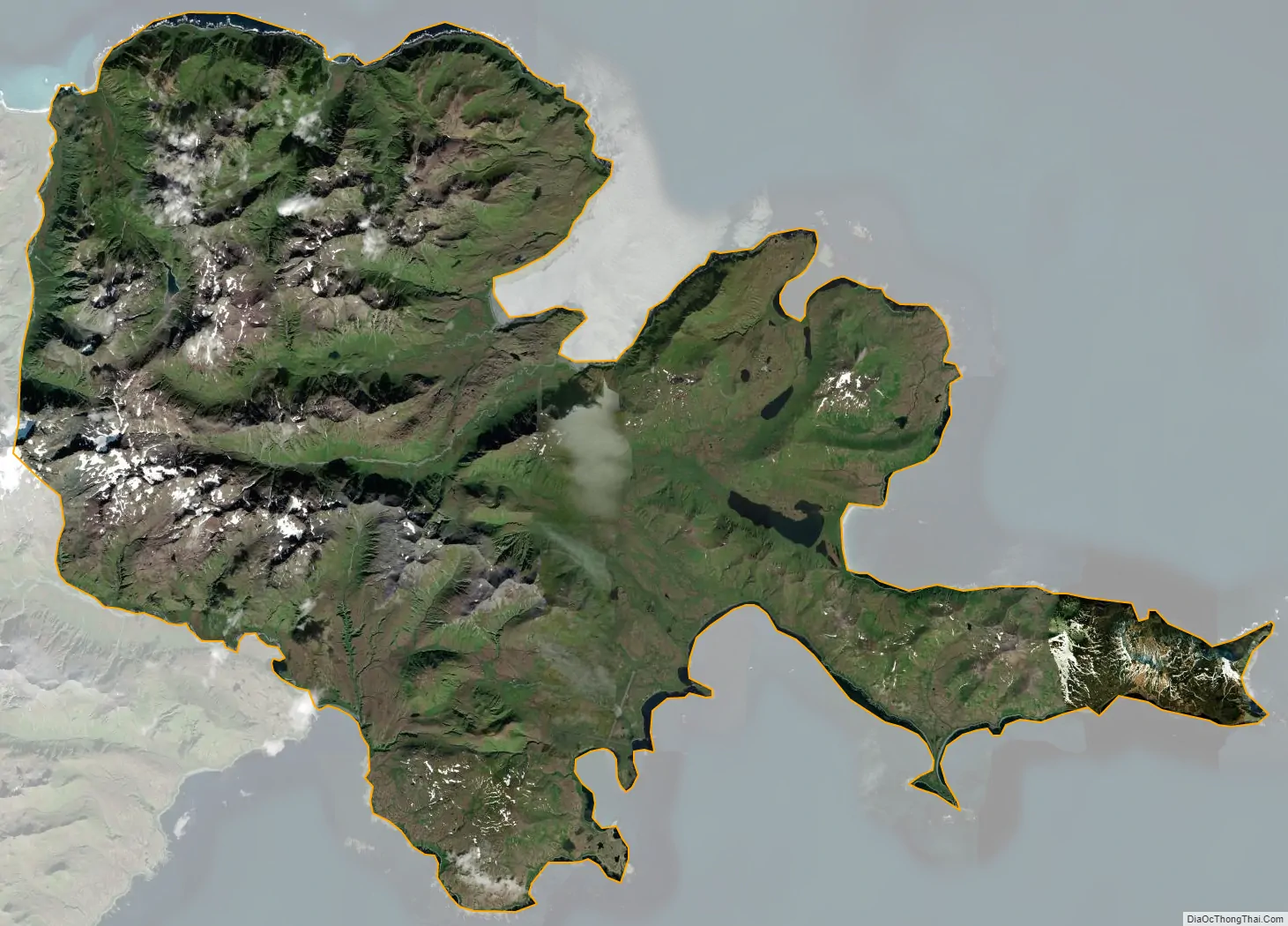
Attu Station city Satellite Map
Geography
According to the U.S. Census Bureau, the CDP has a total area of 143.6 square miles (371.9 km), for which 142.6 square miles (369.3 km) of it is land and 1.1 square miles (2.8 km) of it (0.75%) is water.
See also
Map of Alaska State and its subdivision:- Aleutians East
- Aleutians West
- Anchorage
- Bethel
- Bristol Bay
- Denali
- Dillingham
- Fairbanks North Star
- Haines
- Juneau
- Kenai Peninsula
- Ketchikan Gateway
- Kodiak Island
- Lake and Peninsula
- Matanuska-Susitna
- Nome
- North Slope
- Northwest Arctic
- Prince of Wales-Outer Ketchi
- Sitka
- Skagway-Yakutat-Angoon
- Southeast Fairbanks
- Valdez-Cordova
- Wade Hampton
- Wrangell-Petersburg
- Yukon-Koyukuk
- Alabama
- Alaska
- Arizona
- Arkansas
- California
- Colorado
- Connecticut
- Delaware
- District of Columbia
- Florida
- Georgia
- Hawaii
- Idaho
- Illinois
- Indiana
- Iowa
- Kansas
- Kentucky
- Louisiana
- Maine
- Maryland
- Massachusetts
- Michigan
- Minnesota
- Mississippi
- Missouri
- Montana
- Nebraska
- Nevada
- New Hampshire
- New Jersey
- New Mexico
- New York
- North Carolina
- North Dakota
- Ohio
- Oklahoma
- Oregon
- Pennsylvania
- Rhode Island
- South Carolina
- South Dakota
- Tennessee
- Texas
- Utah
- Vermont
- Virginia
- Washington
- West Virginia
- Wisconsin
- Wyoming