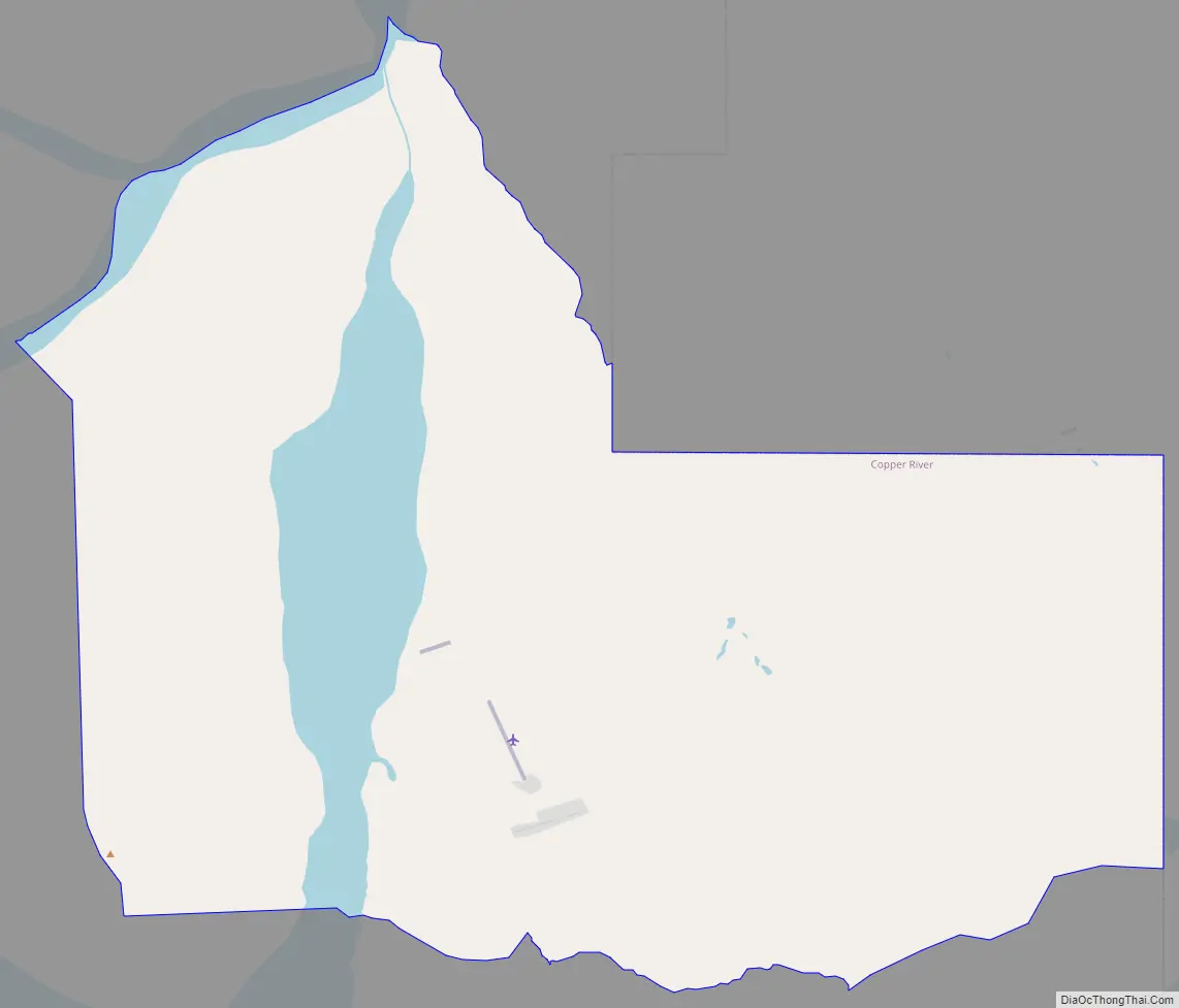
Chisana (also Shushanna) (Tsetsaan’ Na in Ahtna) is a census-designated place (CDP) in the Copper River Census Area in the U.S. state of Alaska. As of the 2010 Census, the population of the CDP was 0. The English name Chisana derives from the Ahtna Athabascan name Tsetsaan’ Na, meaning literally ‘copper river’ (not to be confused with the river known in English as the Copper River). The Chisana River joins the Nabesna River just north of Northway Junction, Alaska, to form the Tanana River, a major tributary of the Yukon River. The Chisana Airport consists of a turf and gravel runway which is largely serviced by flights from Tok, Alaska.
In 1985, the community was listed as Chisana Historic District on the National Register of Historic Places as a historic district.
In 1998 the Chisana Historic Mining Landscape historic district, comprising the community and a wide 27,000 acres (11,000 ha) area located partly in Copper River Census Area and partly in Southeast Fairbanks Census Area, was listed on the National Register of Historic Places.
| Name: | Chisana CDP |
|---|---|
| LSAD Code: | 57 |
| LSAD Description: | CDP (suffix) |
| State: | Alaska |
| County: | Valdez-Cordova Census Area |
| Elevation: | 3,369 ft (1,027 m) |
| Total Area: | 79.44 sq mi (205.74 km²) |
| Land Area: | 79.39 sq mi (205.61 km²) |
| Water Area: | 0.05 sq mi (0.13 km²) |
| Total Population: | 0 |
| Population Density: | 0.00/sq mi (0.00/km²) |
| Area code: | 907 |
| FIPS code: | 0213890 |
| GNISfeature ID: | 1400321 |
Online Interactive Map
Click on ![]() to view map in "full screen" mode.
to view map in "full screen" mode.
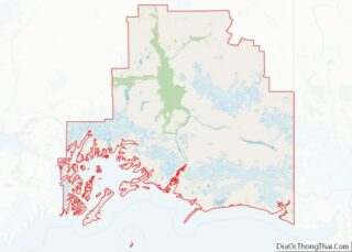
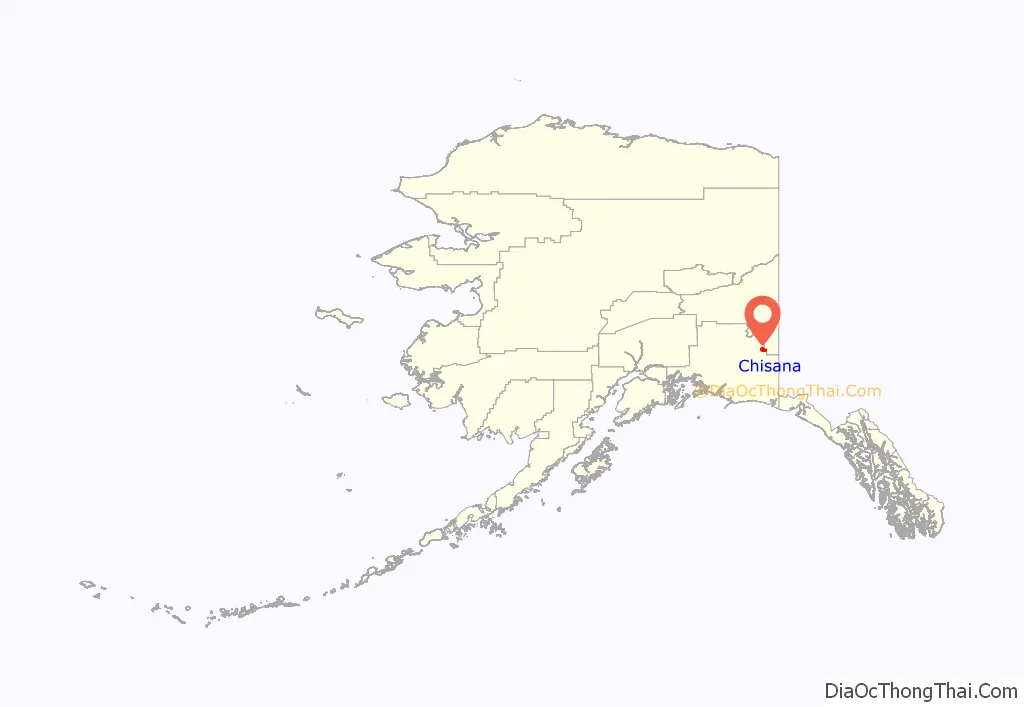
Chisana location map. Where is Chisana CDP?
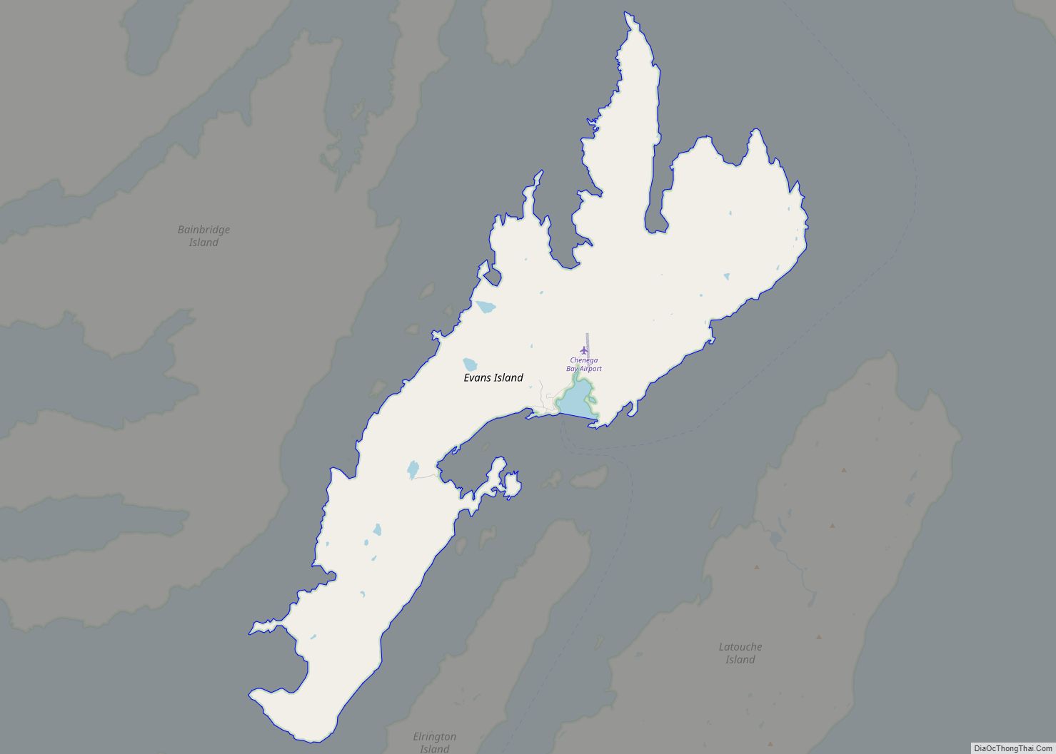
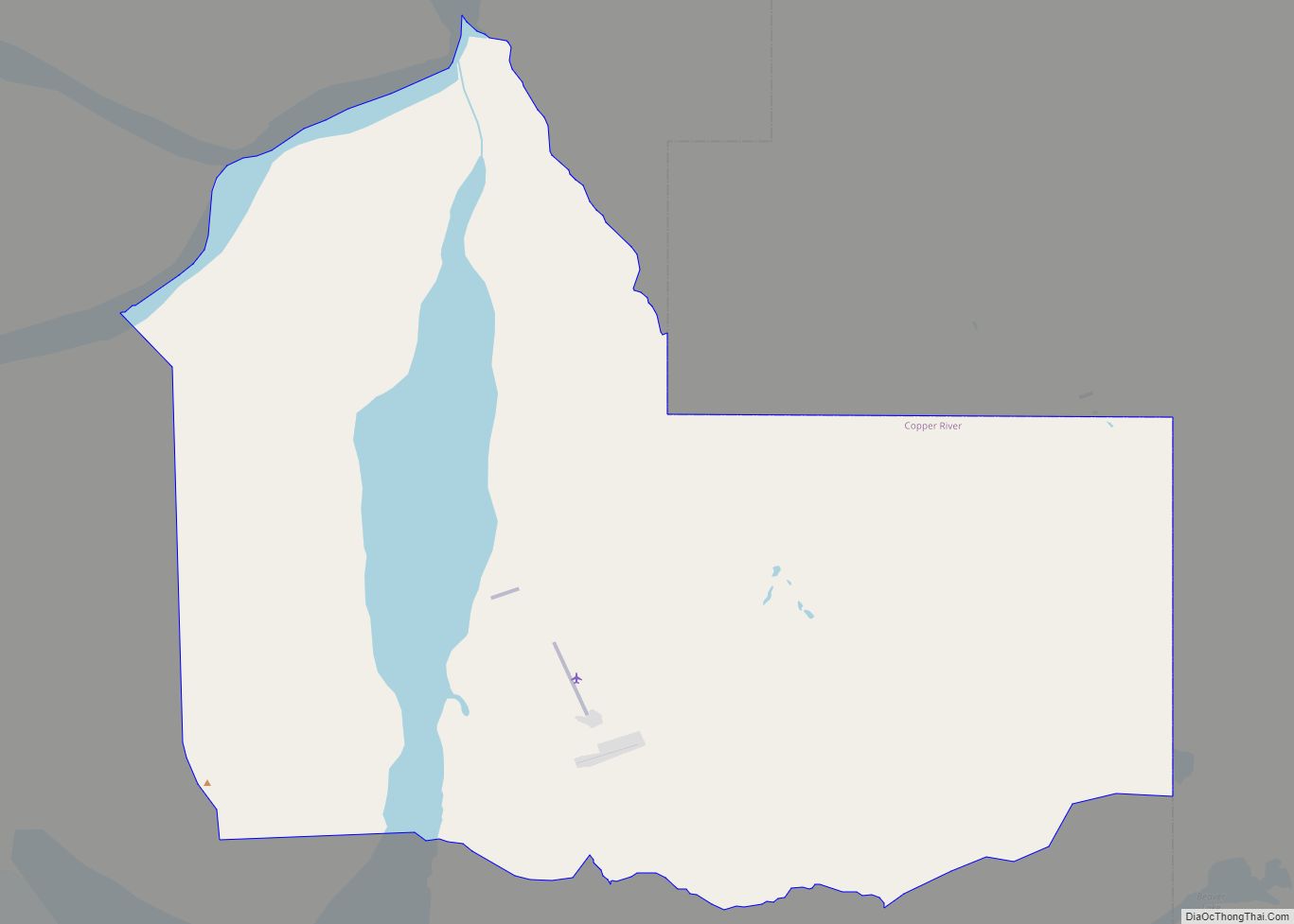
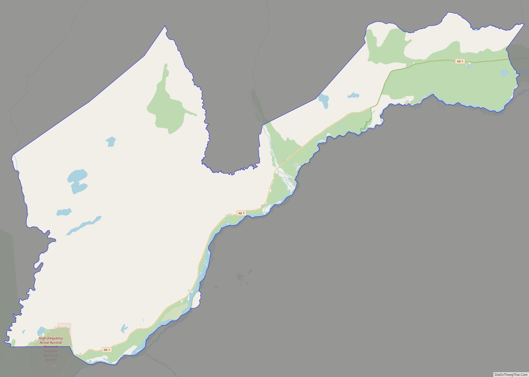
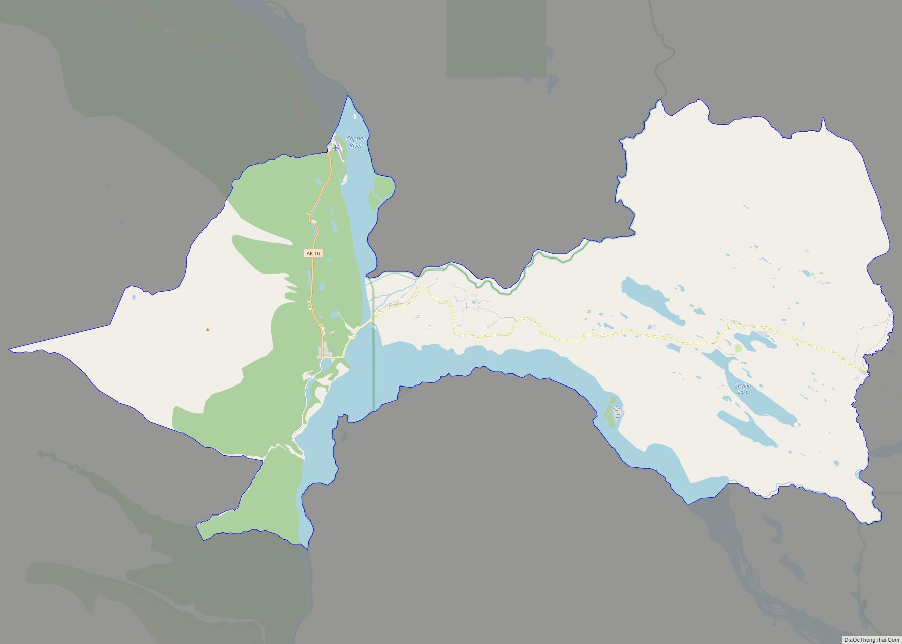
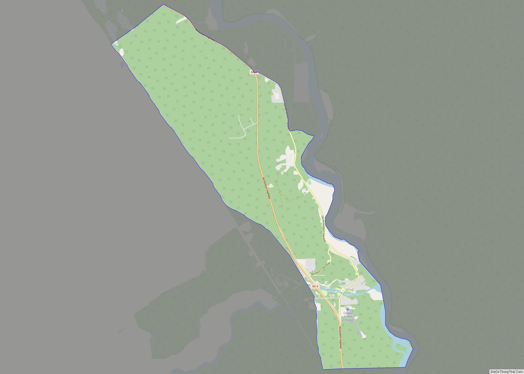
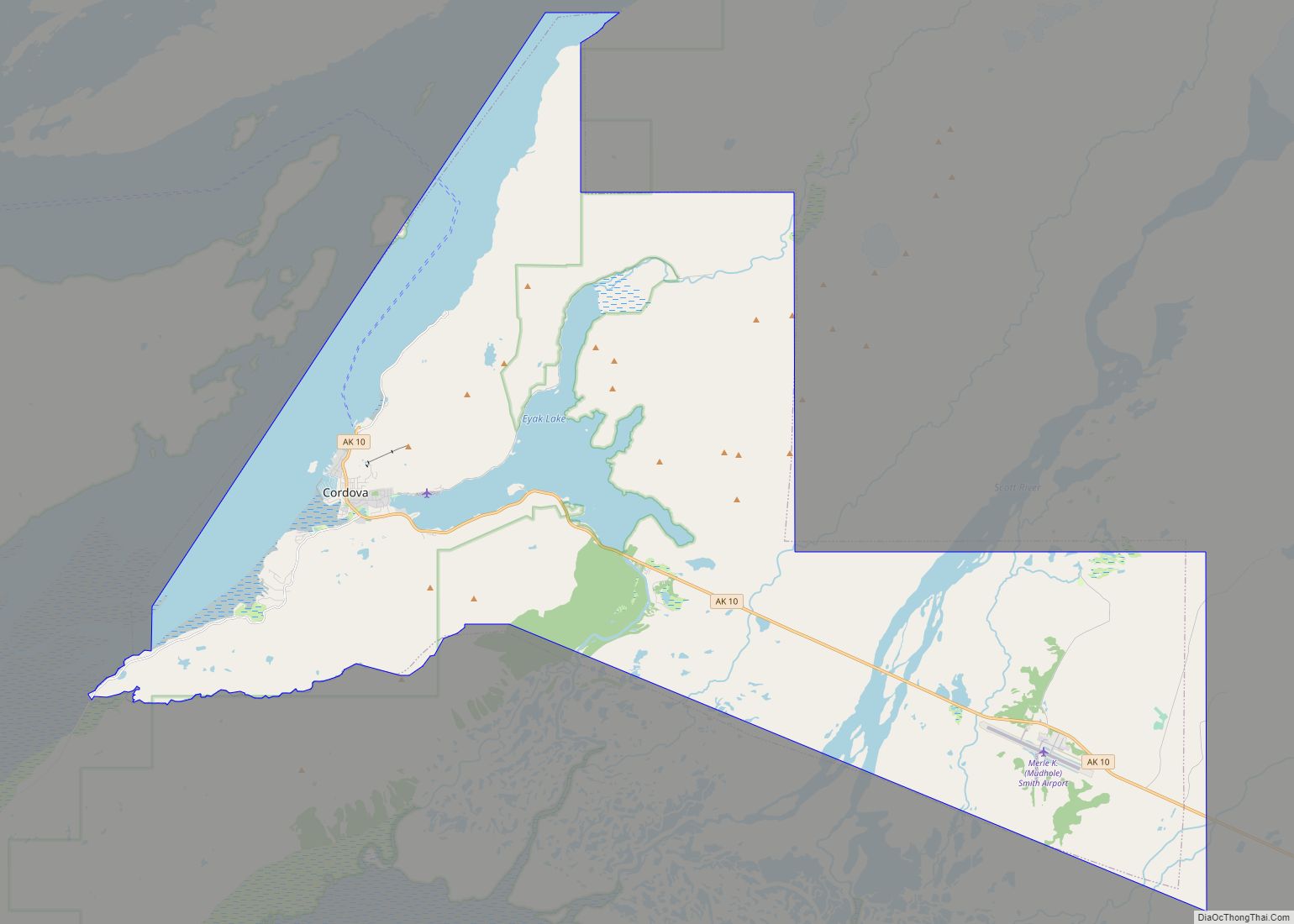
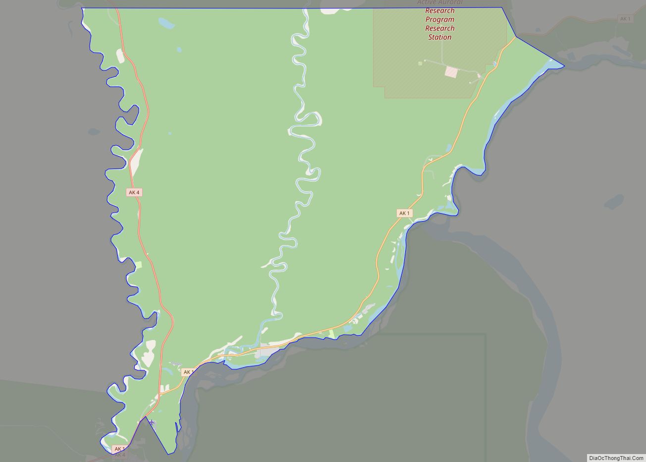
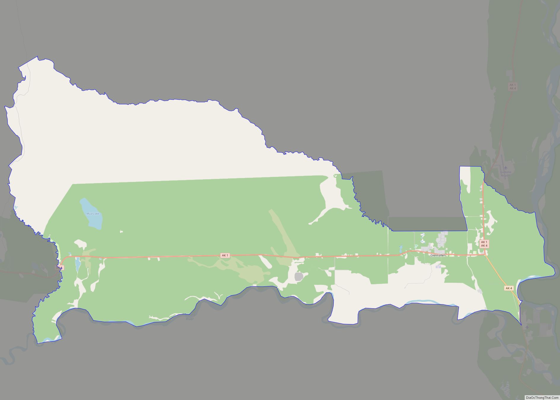
Chisana Road Map
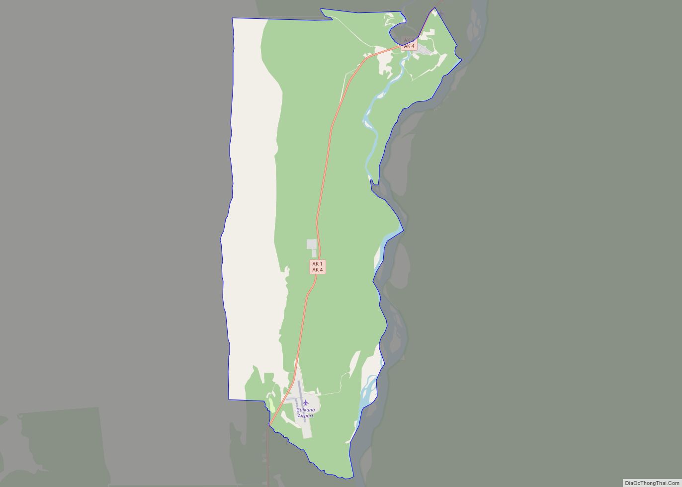
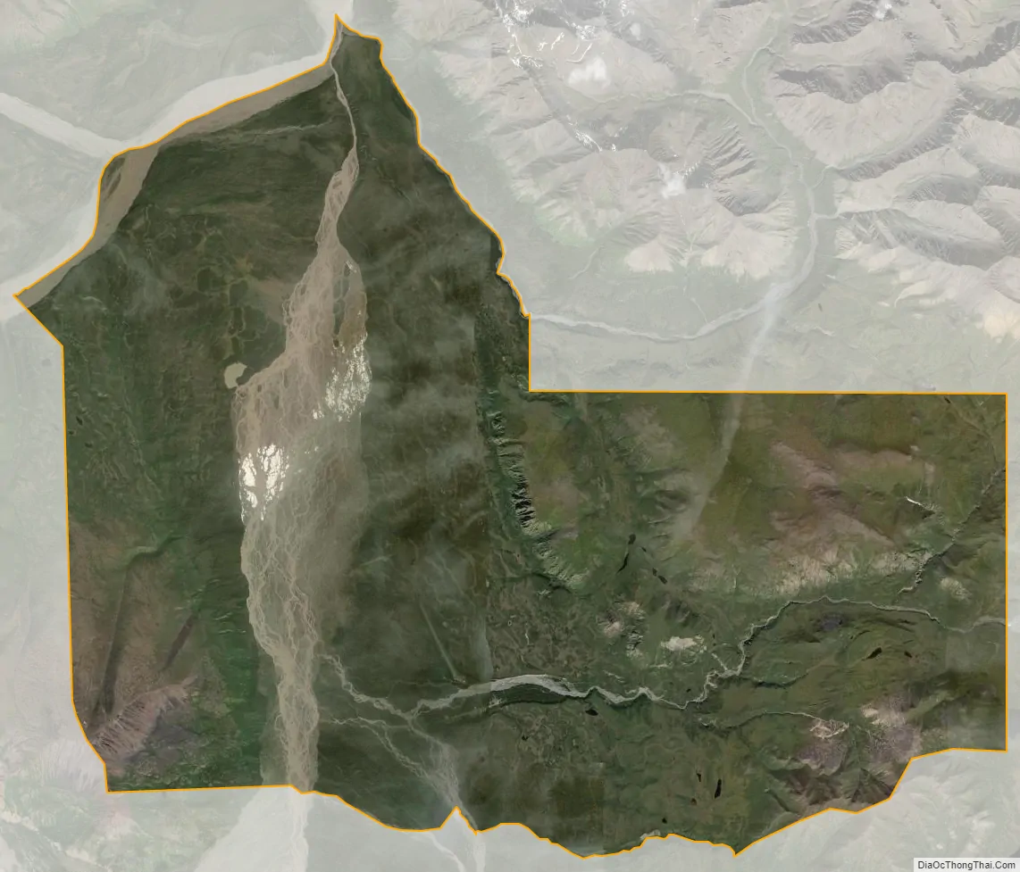
Chisana city Satellite Map
Geography
According to the United States Census Bureau, the CDP has a total area of 86.7 square miles (225 km), of which 86.7 square miles (225 km) of it is land and 0.1 square miles (0.26 km) of it is water. The total area is 0.10% water.
See also
Map of Alaska State and its subdivision:- Aleutians East
- Aleutians West
- Anchorage
- Bethel
- Bristol Bay
- Denali
- Dillingham
- Fairbanks North Star
- Haines
- Juneau
- Kenai Peninsula
- Ketchikan Gateway
- Kodiak Island
- Lake and Peninsula
- Matanuska-Susitna
- Nome
- North Slope
- Northwest Arctic
- Prince of Wales-Outer Ketchi
- Sitka
- Skagway-Yakutat-Angoon
- Southeast Fairbanks
- Valdez-Cordova
- Wade Hampton
- Wrangell-Petersburg
- Yukon-Koyukuk
- Alabama
- Alaska
- Arizona
- Arkansas
- California
- Colorado
- Connecticut
- Delaware
- District of Columbia
- Florida
- Georgia
- Hawaii
- Idaho
- Illinois
- Indiana
- Iowa
- Kansas
- Kentucky
- Louisiana
- Maine
- Maryland
- Massachusetts
- Michigan
- Minnesota
- Mississippi
- Missouri
- Montana
- Nebraska
- Nevada
- New Hampshire
- New Jersey
- New Mexico
- New York
- North Carolina
- North Dakota
- Ohio
- Oklahoma
- Oregon
- Pennsylvania
- Rhode Island
- South Carolina
- South Dakota
- Tennessee
- Texas
- Utah
- Vermont
- Virginia
- Washington
- West Virginia
- Wisconsin
- Wyoming