Chistochina (Tsiis Tl’edze’ Caegge in Ahtna Athabascan) is a census-designated place (CDP) in Copper River Census Area, Alaska, United States. At the 2020 census the population was 60, down from 93 in 2010.
| Name: | Chistochina CDP |
|---|---|
| LSAD Code: | 57 |
| LSAD Description: | CDP (suffix) |
| State: | Alaska |
| County: | Valdez-Cordova Census Area |
| Total Area: | 368.79 sq mi (955.17 km²) |
| Land Area: | 368.41 sq mi (954.18 km²) |
| Water Area: | 0.38 sq mi (0.99 km²) |
| Total Population: | 60 |
| Population Density: | 0.16/sq mi (0.06/km²) |
| Area code: | 907 |
| FIPS code: | 0214000 |
Online Interactive Map
Click on ![]() to view map in "full screen" mode.
to view map in "full screen" mode.
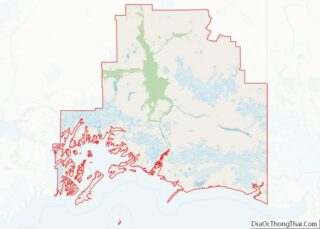
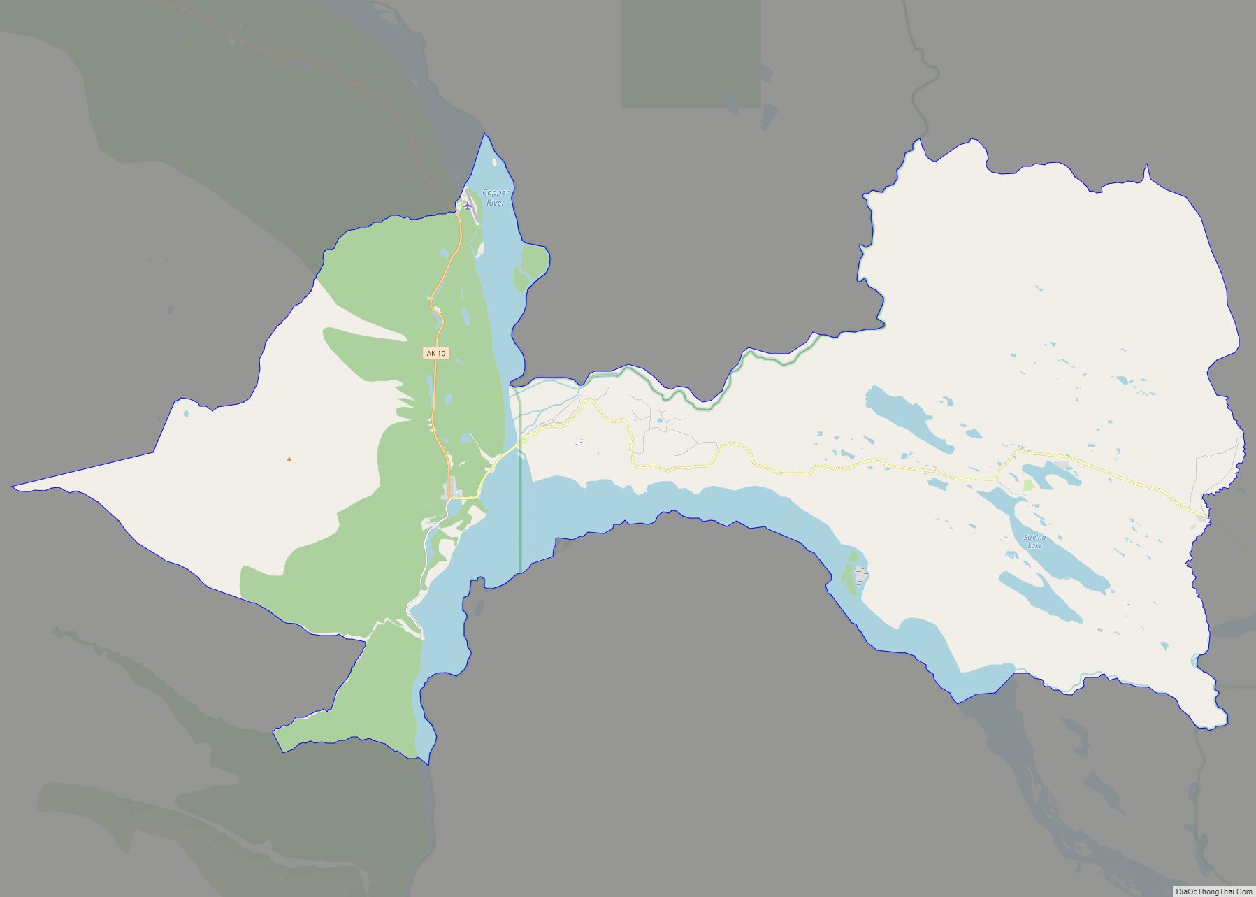
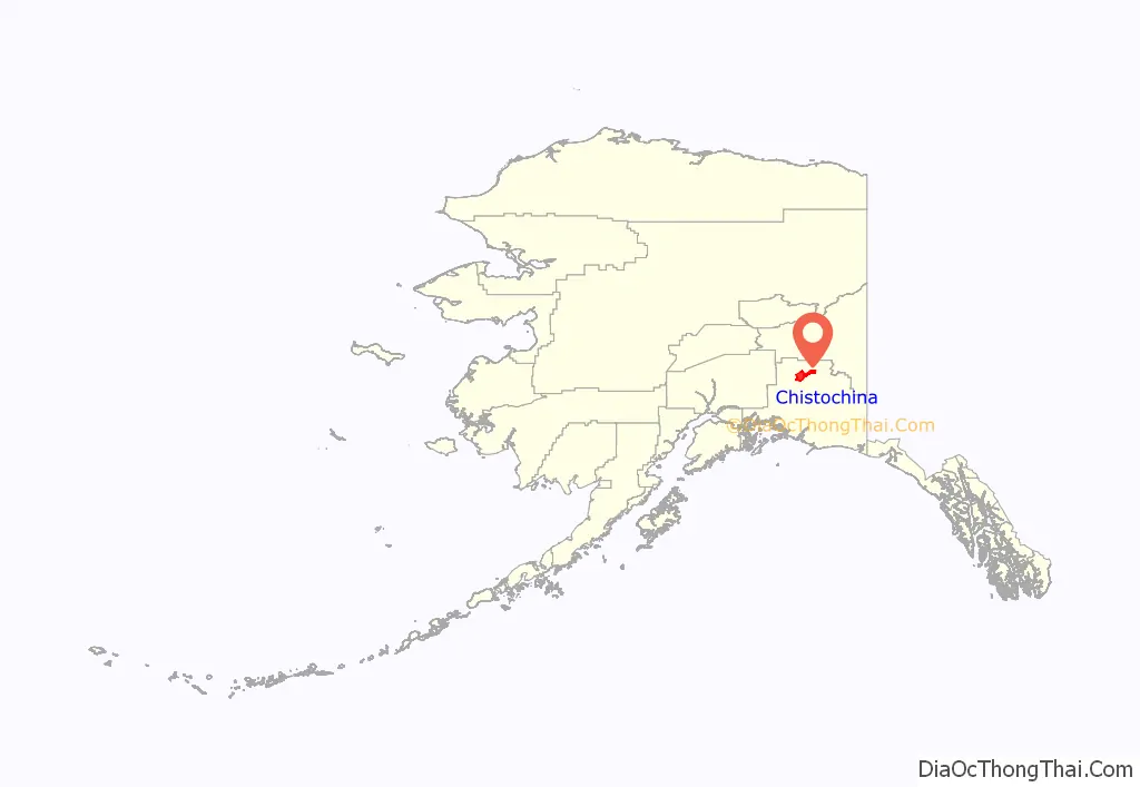
Chistochina location map. Where is Chistochina CDP?
History
Chistochina began as an Ahtna Athabascan fish camp and a stopover place for traders and trappers. The village access road later became part of the Valdez-Eagle Trail, constructed by miners during the gold rush to the Eagle area in 1897. Chistochina Lodge was built as a roadhouse for prospectors. Gold was mined along the upper Chistochina River and its runoff creeks. The area was settled by homesteaders, although it has remained the most traditional of all Ahtna Athabascan villages.
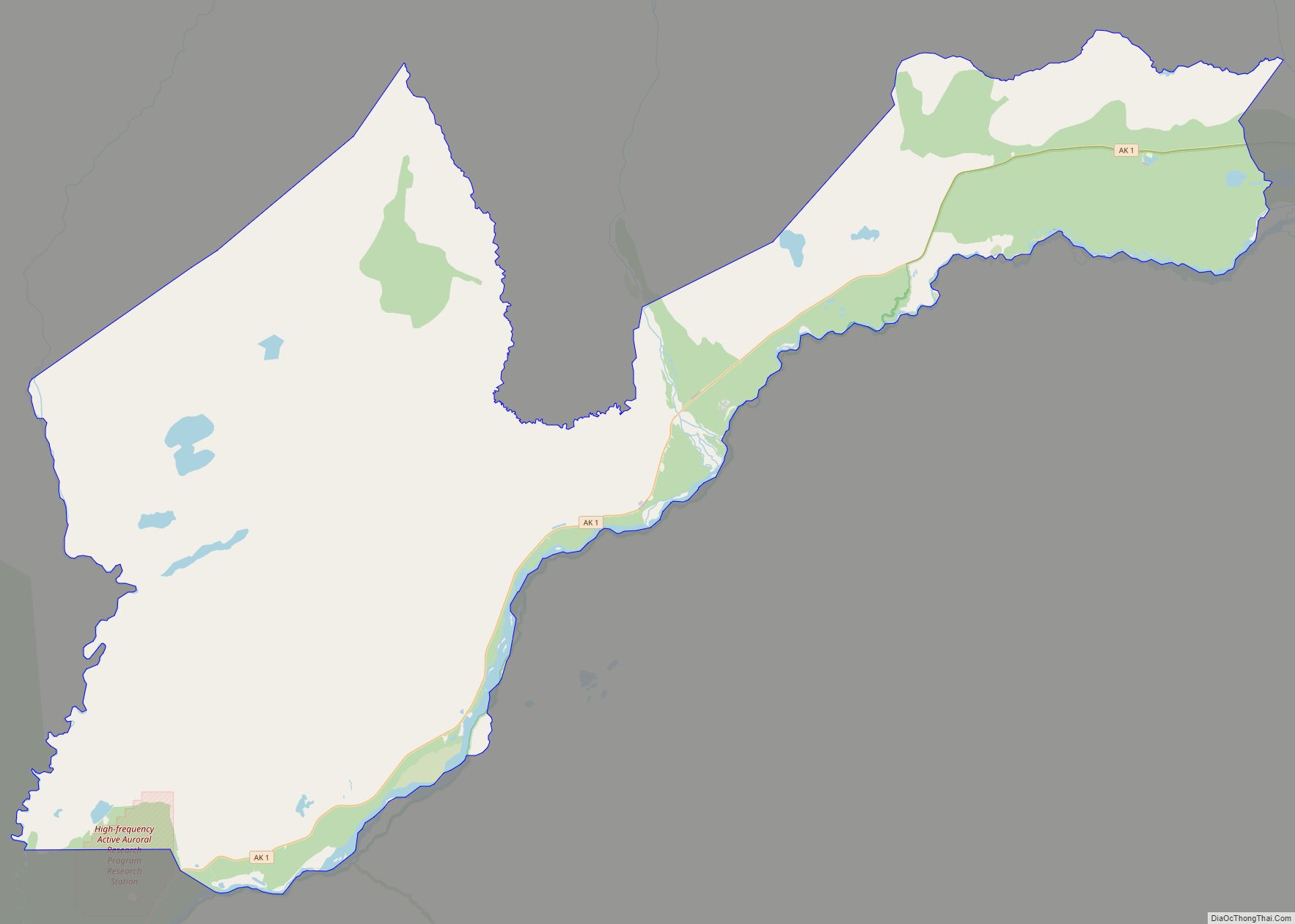
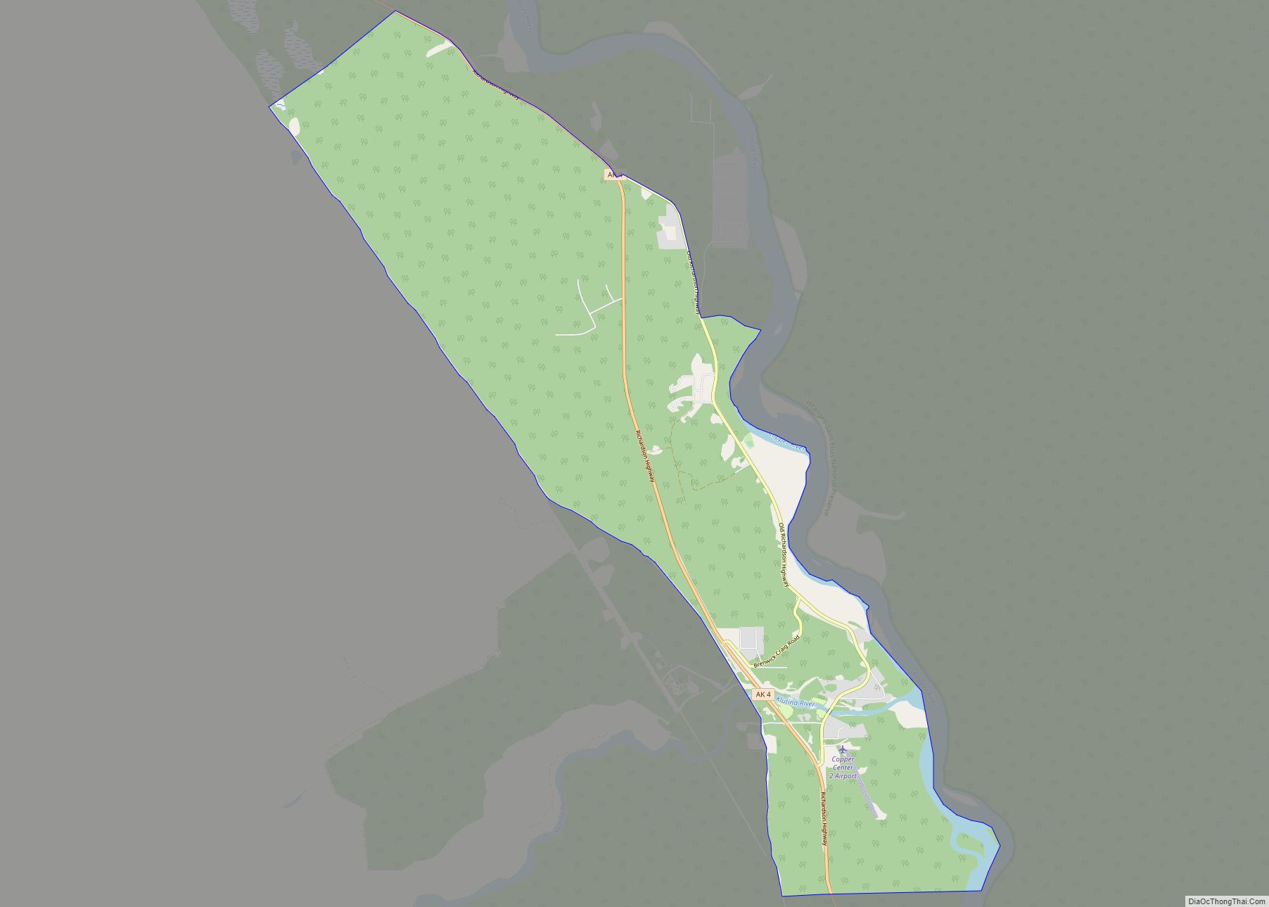
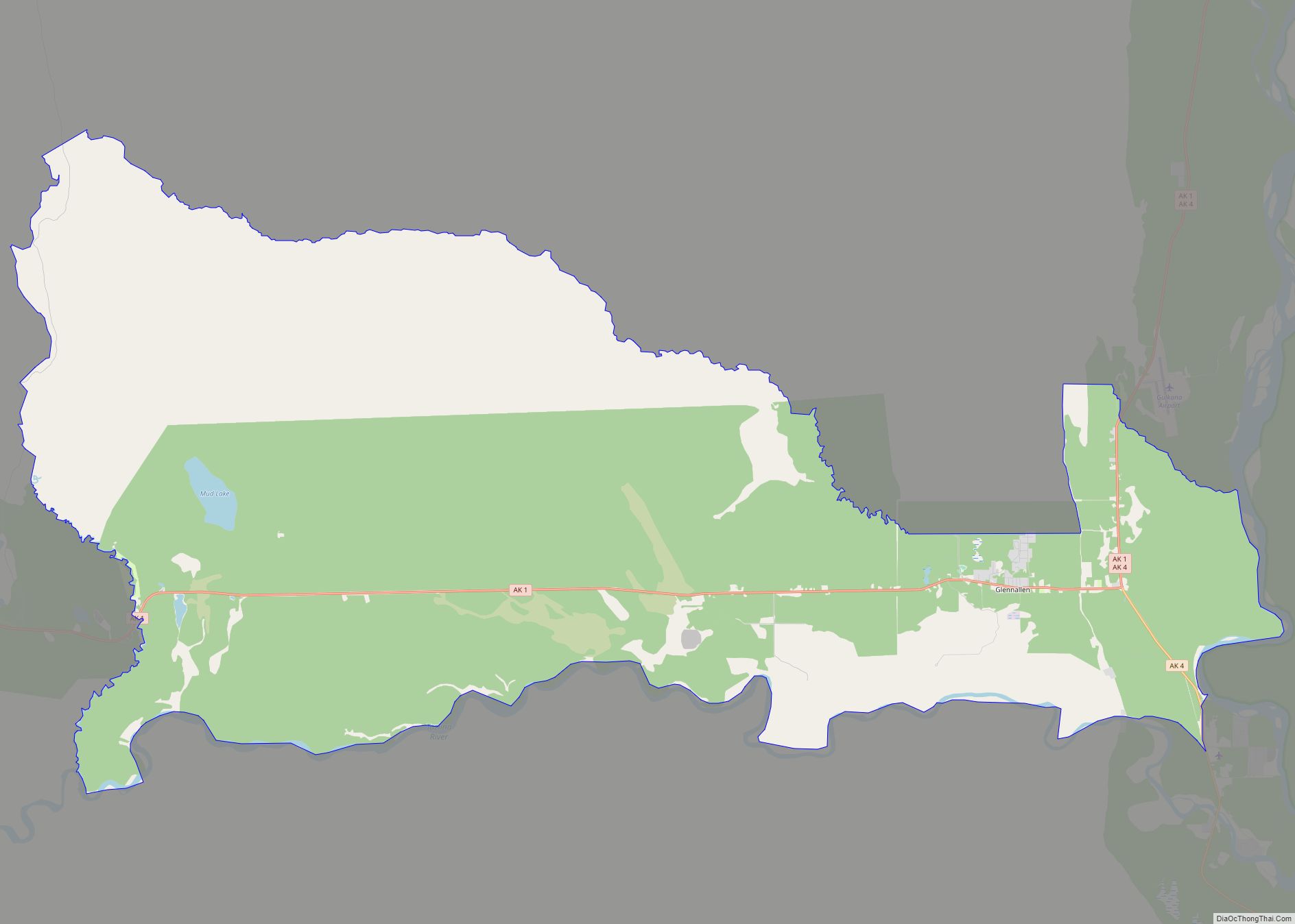
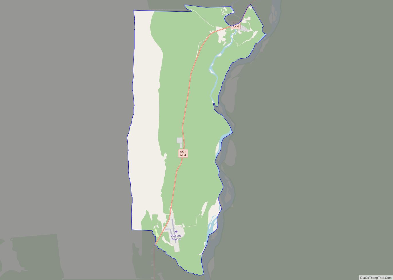
Chistochina Road Map
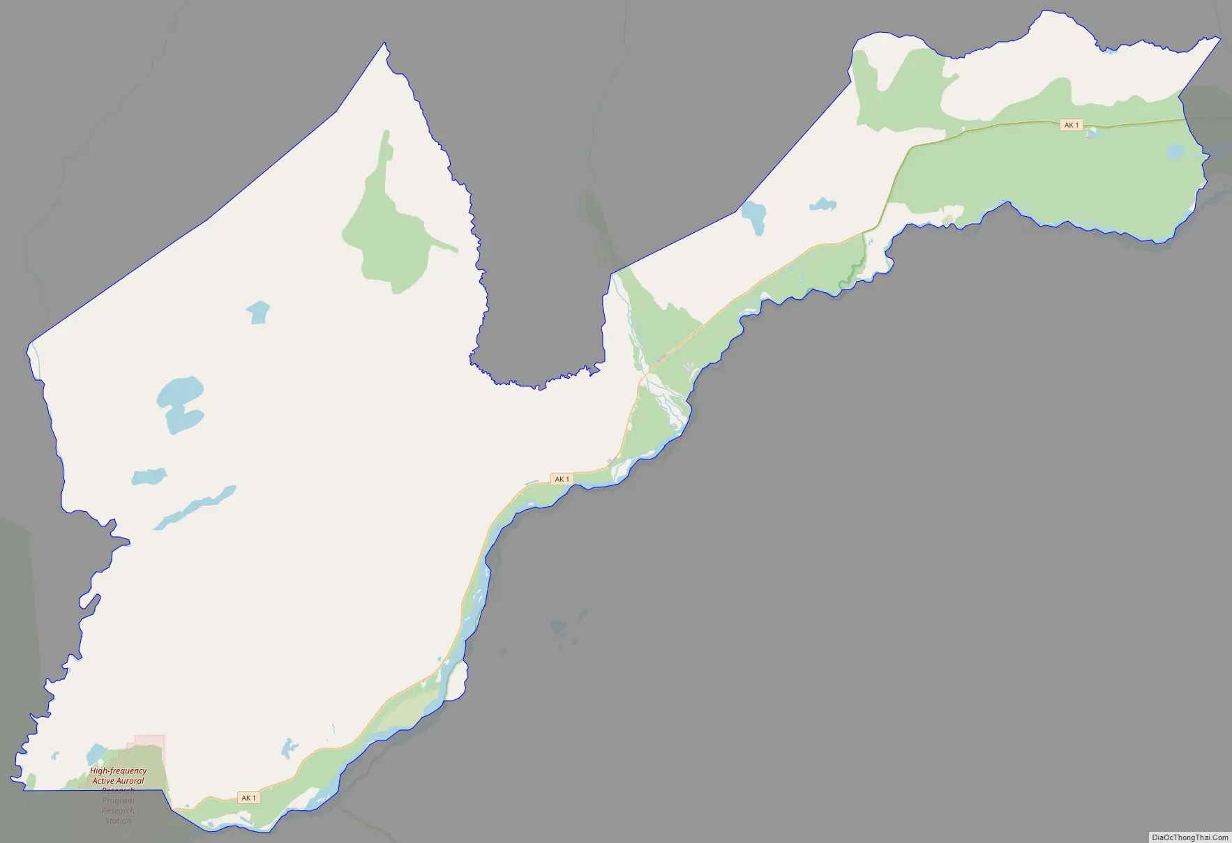
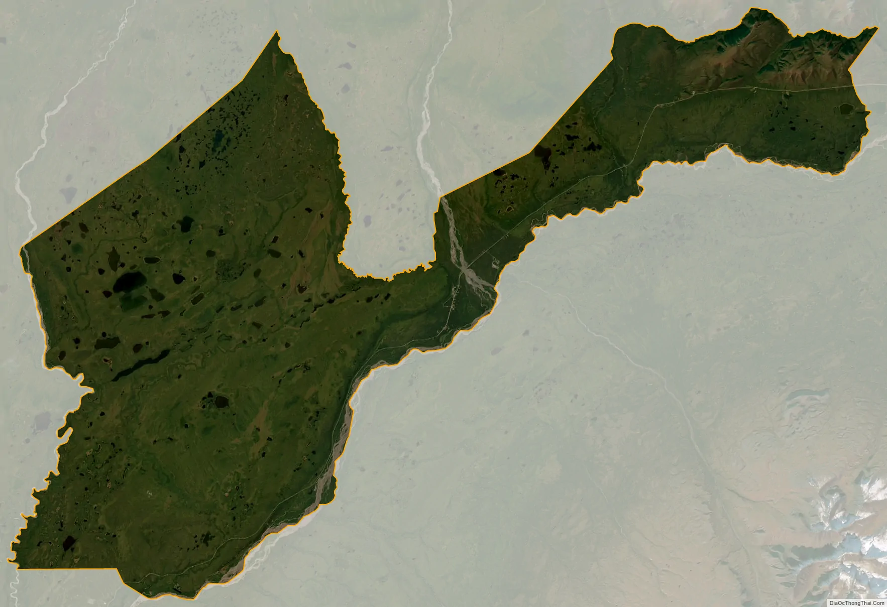
Chistochina city Satellite Map
Geography
Chistochina is located at 62°34′40″N 144°40′11″W / 62.57778°N 144.66972°W / 62.57778; -144.66972 (62.577713, -144.669613).
Located between mile 31 and 37 on the Tok Cutoff Highway, Chistochina is a midway point between the Canada–US border and Anchorage, or midway between Tok and Glennallen.
According to the United States Census Bureau, the CDP has a total area of 359.8 square miles (932 km), of which, 359.4 square miles (931 km) of it is land and 0.4 square miles (1.0 km) of it (0.11%) is water.
See also
Map of Alaska State and its subdivision:- Aleutians East
- Aleutians West
- Anchorage
- Bethel
- Bristol Bay
- Denali
- Dillingham
- Fairbanks North Star
- Haines
- Juneau
- Kenai Peninsula
- Ketchikan Gateway
- Kodiak Island
- Lake and Peninsula
- Matanuska-Susitna
- Nome
- North Slope
- Northwest Arctic
- Prince of Wales-Outer Ketchi
- Sitka
- Skagway-Yakutat-Angoon
- Southeast Fairbanks
- Valdez-Cordova
- Wade Hampton
- Wrangell-Petersburg
- Yukon-Koyukuk
- Alabama
- Alaska
- Arizona
- Arkansas
- California
- Colorado
- Connecticut
- Delaware
- District of Columbia
- Florida
- Georgia
- Hawaii
- Idaho
- Illinois
- Indiana
- Iowa
- Kansas
- Kentucky
- Louisiana
- Maine
- Maryland
- Massachusetts
- Michigan
- Minnesota
- Mississippi
- Missouri
- Montana
- Nebraska
- Nevada
- New Hampshire
- New Jersey
- New Mexico
- New York
- North Carolina
- North Dakota
- Ohio
- Oklahoma
- Oregon
- Pennsylvania
- Rhode Island
- South Carolina
- South Dakota
- Tennessee
- Texas
- Utah
- Vermont
- Virginia
- Washington
- West Virginia
- Wisconsin
- Wyoming