Chitina (Ahtna Athabascan Tsedi Na’ [tʃɛ.diː.näʔ] < tsedi “copper” + na’ “river”) is a census-designated place (CDP) in Copper River Census Area, Alaska, United States. At the 2010 census the population was 126, up from 123 in 2000.
| Name: | Chitina CDP |
|---|---|
| LSAD Code: | 57 |
| LSAD Description: | CDP (suffix) |
| State: | Alaska |
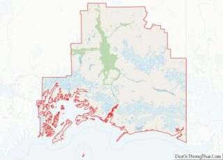
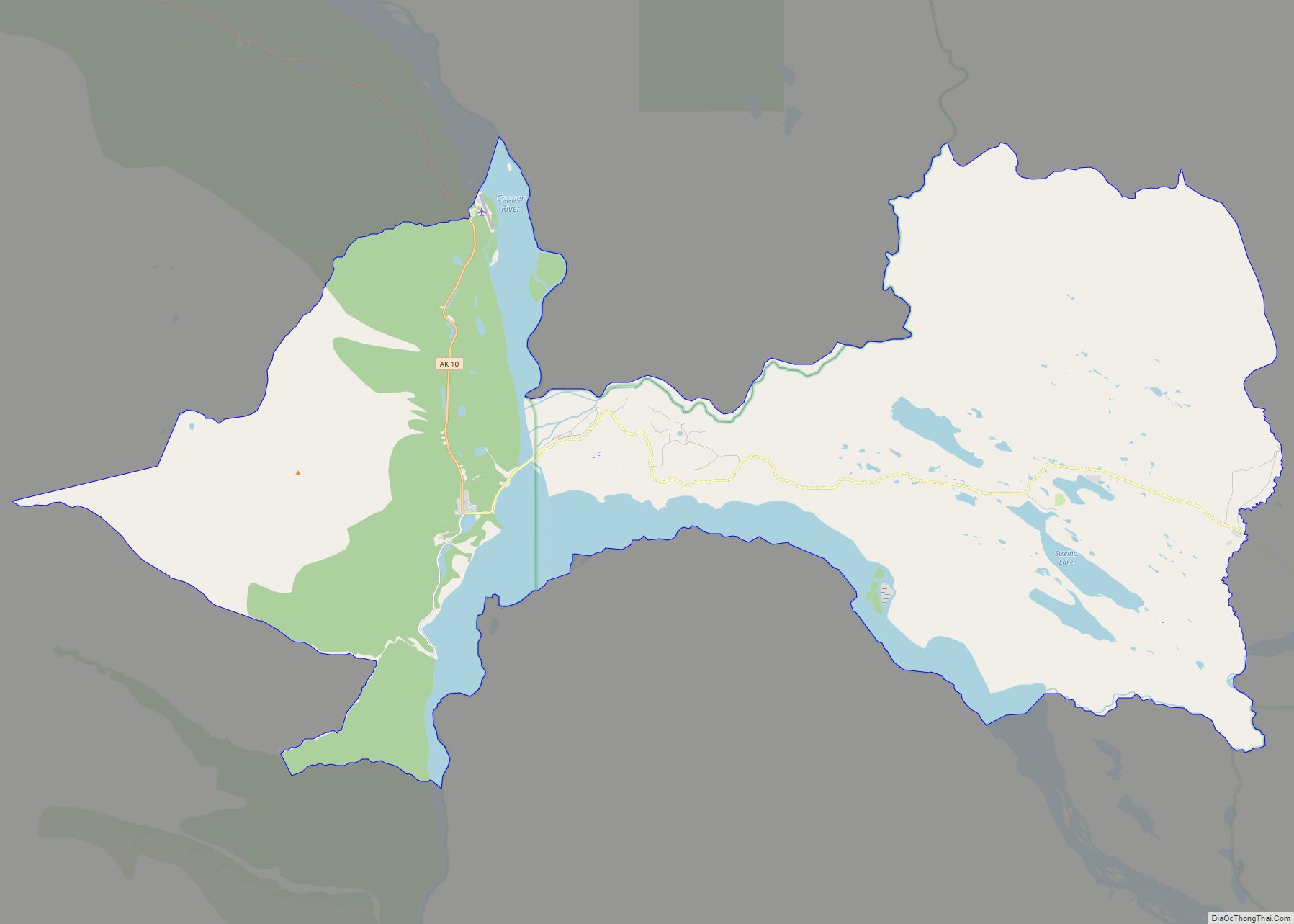
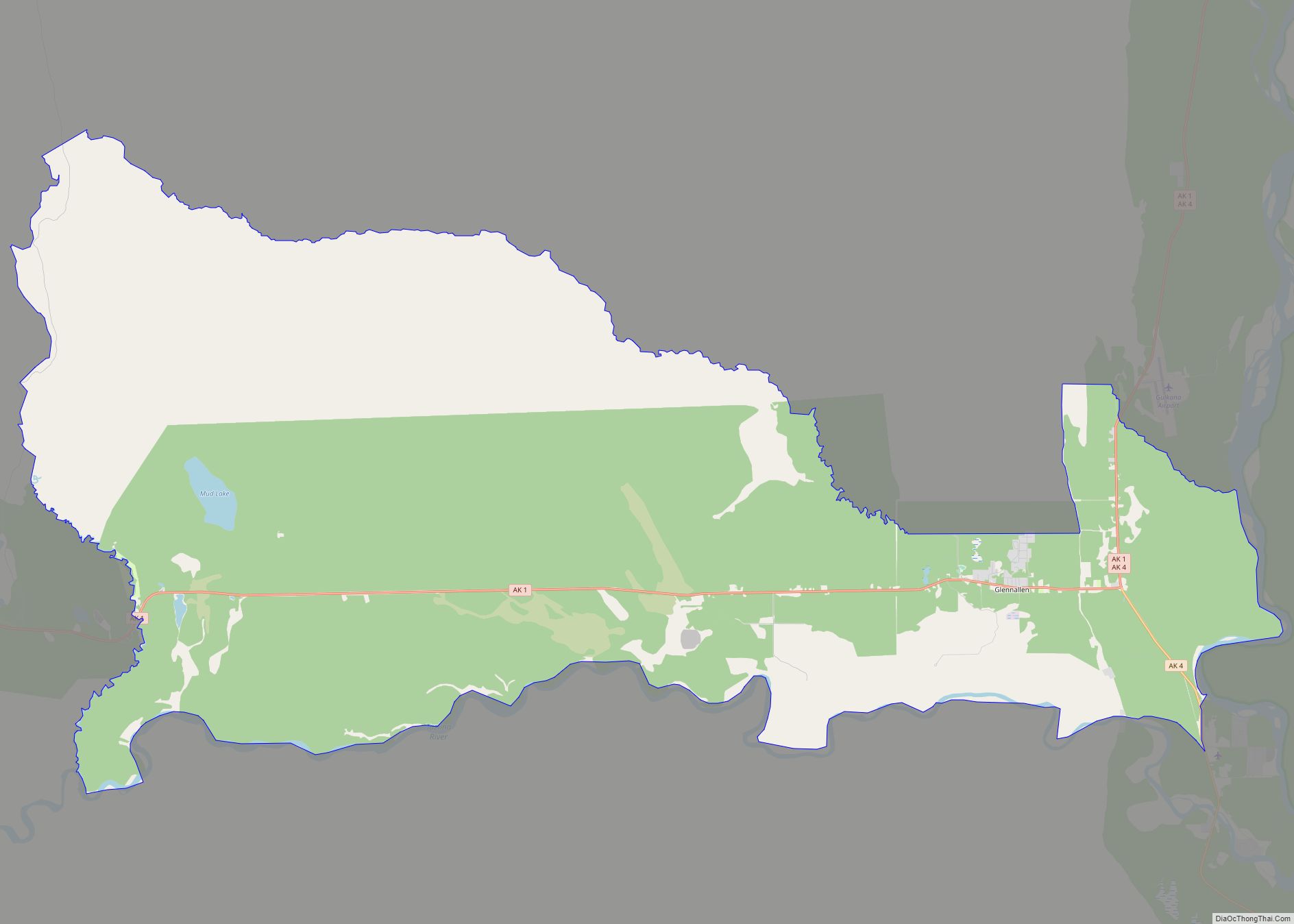
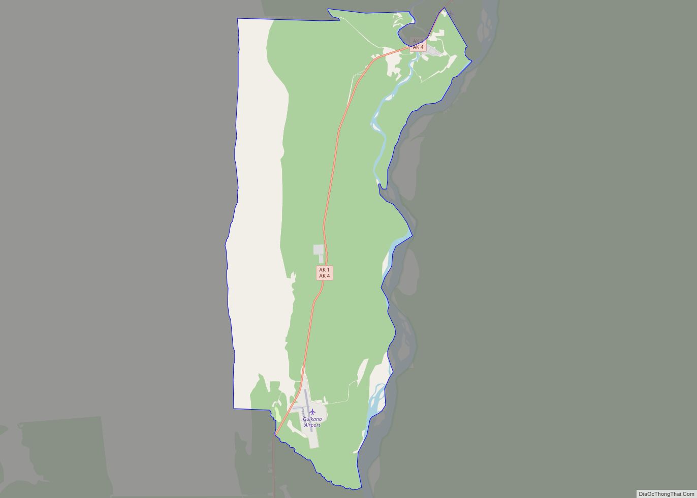
| County: | Valdez-Cordova Census Area |
| Total Area: | 99.49 sq mi (257.67 km²) |
| Land Area: | 84.68 sq mi (219.31 km²) |
| Water Area: | 14.81 sq mi (38.35 km²) |
| Total Population: | 101 |
| Population Density: | 1.19/sq mi (0.46/km²) |
| ZIP code: | 99566 |
| Area code: | 907 |
| FIPS code: | 0214110 |
Online Interactive Map
Click on ![]() to view map in "full screen" mode.
to view map in "full screen" mode.
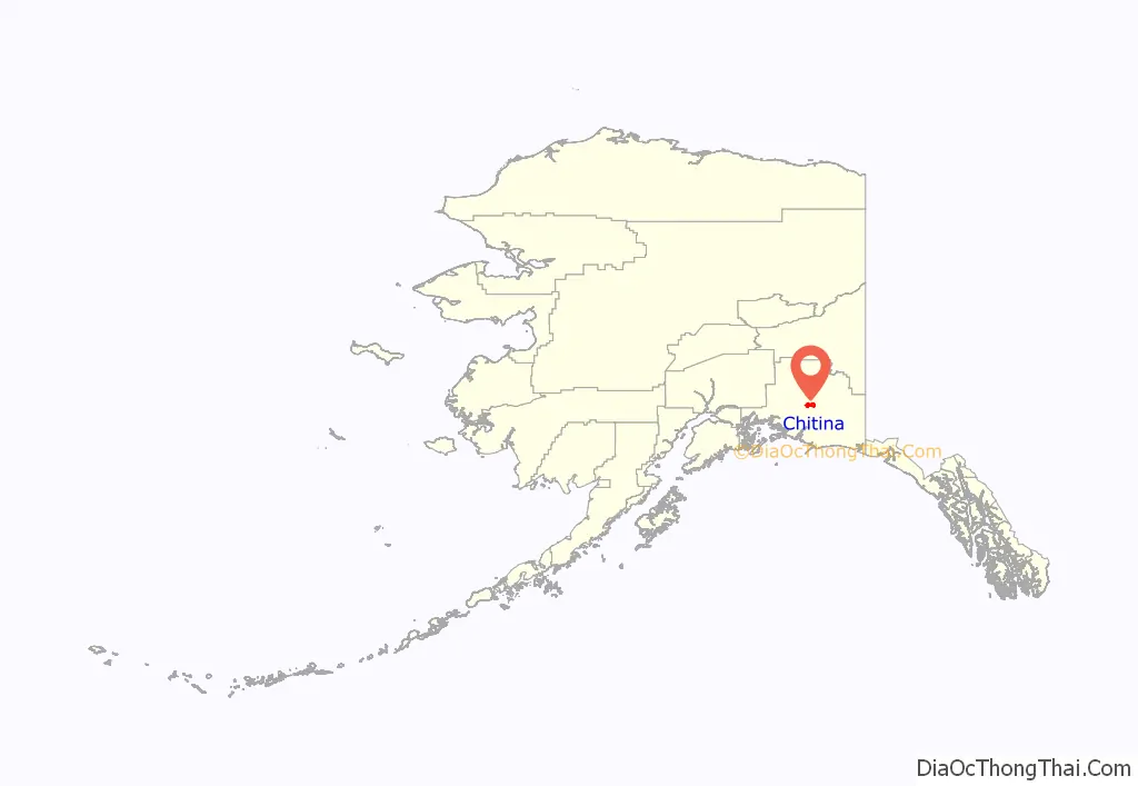
Chitina location map. Where is Chitina CDP?
History
Athabascans have lived in the area around Chitina for centuries as evidenced by the archaeological sites south and east of Chitina. Before 1900, Chitina was the site of large village whose population was slowly decimated by the influx of people, disease and conflicts.
Copper ore was discovered in about 1900 along the northern edge of the Chitina River valley. This brought a rush of prospectors and homesteaders to the area.
Stephen Birch homesteaded the site in 1908. The Copper River and Northwestern Railway enabled Chitina to develop into a thriving community by 1914. It had a general store, a clothing store, a meat market, stables, a tinsmith, five hotels, several rooming houses, a pool hall, bars, restaurants, dance halls and a movie theater. From 1933 until the closure of the mines in 1938, the general store was managed by Otto Moses of Des Moines, Washington, recruited by O.A. Nelson.
The mines closed in 1938 and the remaining support activities moved to what is now the Glennallen area. Chitina became a virtual ghost town. Otto Adrian Nelson, a surveying engineer for the Kennecott Mines, eventually bought up much of the town. He built a unique hydroelectric system that supplied electric power to all his buildings. He also supplied much of the town center with hot and cold running water.
Current activity in Chitina revolves around the dipnet fishing for salmon that occurs every summer. Alaskans are allowed to dip a large number of salmon during their spawning runs and Chitina is an accessible and popular place for this activity.
In late 1977, jeweler Art Koeninger purchased the Chitina Tin Shop with the intention of turning it into a residence. In 1979, the site, formerly known as Fred’s Place and Schaupp’s, was placed on the National Register of Historic Places and has won two historic preservation grants. It currently houses the Spirit Mountain Artworks.
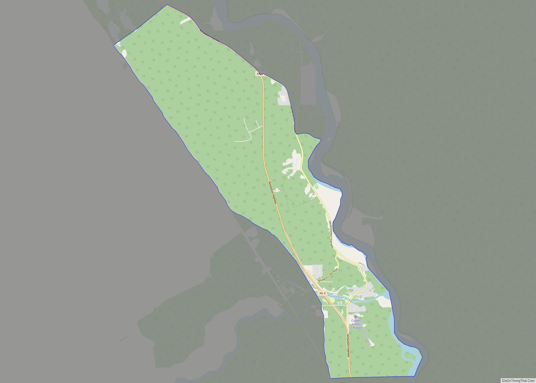
Chitina Road Map
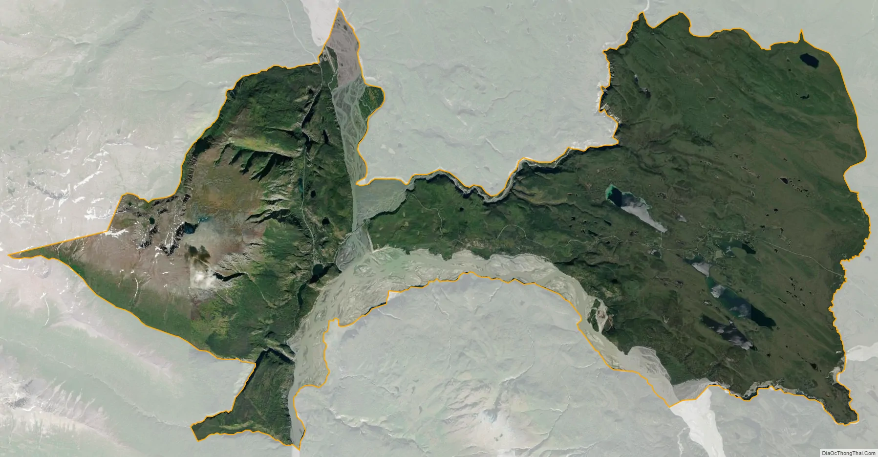
Chitina city Satellite Map
Geography
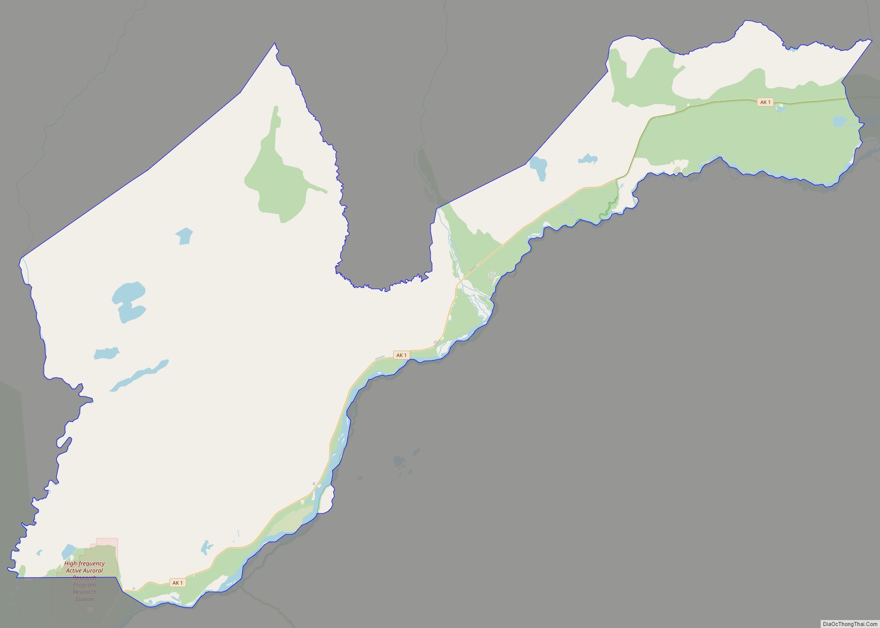
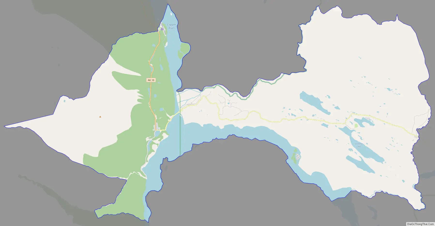
Chitina is located on the west bank of the Copper River at its confluence with the Chitina River on the Edgerton Highway, and junction with the McCarthy Road. It is 85 km (53 mi) southeast of Copper Center and 106 km (66 mi) southeast of Glennallen. It is outside the western boundary of the Wrangell – St Elias National Park and Preserve.
In 1945, work had begun to convert the CR&NW railroad line, from Cordova to Kennicott, into a highway, but work halted with the 1964 Good Friday earthquake, leaving a significant gap between Chitina and the Million Dollar Bridge near Cordova. The rail route from Chitina to Kennicott is a roadway, the McCarthy Road.
According to the United States Census Bureau, the CDP has a total area of 95.8 square miles (248 km), of which, 84.6 square miles (219 km) of it is land and 11.1 square miles (29 km) of it (11.62%) is water.
See also
Map of Alaska State and its subdivision:- Aleutians East
- Aleutians West
- Anchorage
- Bethel
- Bristol Bay
- Denali
- Dillingham
- Fairbanks North Star
- Haines
- Juneau
- Kenai Peninsula
- Ketchikan Gateway
- Kodiak Island
- Lake and Peninsula
- Matanuska-Susitna
- Nome
- North Slope
- Northwest Arctic
- Prince of Wales-Outer Ketchi
- Sitka
- Skagway-Yakutat-Angoon
- Southeast Fairbanks
- Valdez-Cordova
- Wade Hampton
- Wrangell-Petersburg
- Yukon-Koyukuk
- Alabama
- Alaska
- Arizona
- Arkansas
- California
- Colorado
- Connecticut
- Delaware
- District of Columbia
- Florida
- Georgia
- Hawaii
- Idaho
- Illinois
- Indiana
- Iowa
- Kansas
- Kentucky
- Louisiana
- Maine
- Maryland
- Massachusetts
- Michigan
- Minnesota
- Mississippi
- Missouri
- Montana
- Nebraska
- Nevada
- New Hampshire
- New Jersey
- New Mexico
- New York
- North Carolina
- North Dakota
- Ohio
- Oklahoma
- Oregon
- Pennsylvania
- Rhode Island
- South Carolina
- South Dakota
- Tennessee
- Texas
- Utah
- Vermont
- Virginia
- Washington
- West Virginia
- Wisconsin
- Wyoming