Copper Center (Tl’aticae’e in Ahtna) is a census-designated place (CDP) on the Copper River in Copper River Census Area, Alaska, United States. It is two hundred kilometers northeast of Anchorage. At the 2020 census the population was 338, up from 328 in 2000.
| Name: | Copper Center CDP |
|---|---|
| LSAD Code: | 57 |
| LSAD Description: | CDP (suffix) |
| State: | Alaska |
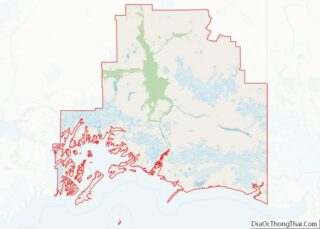
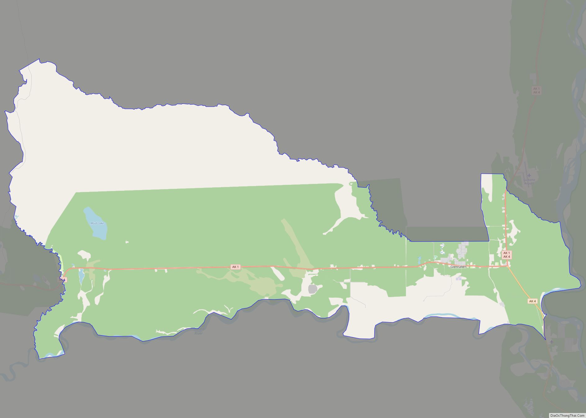
| County: | Valdez-Cordova Census Area |
| Total Area: | 12.51 sq mi (32.39 km²) |
| Land Area: | 12.50 sq mi (32.36 km²) |
| Water Area: | 0.01 sq mi (0.03 km²) |
| Total Population: | 338 |
| Population Density: | 27.05/sq mi (10.44/km²) |
| ZIP code: | 99573 |
| Area code: | 907 |
| FIPS code: | 0217300 |
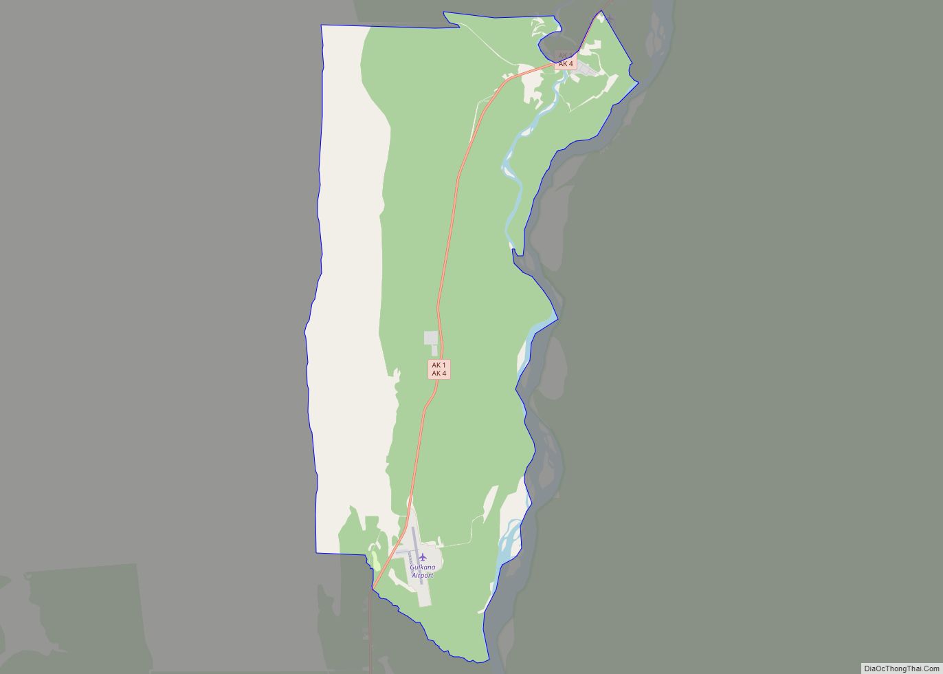
Online Interactive Map
Click on ![]() to view map in "full screen" mode.
to view map in "full screen" mode.
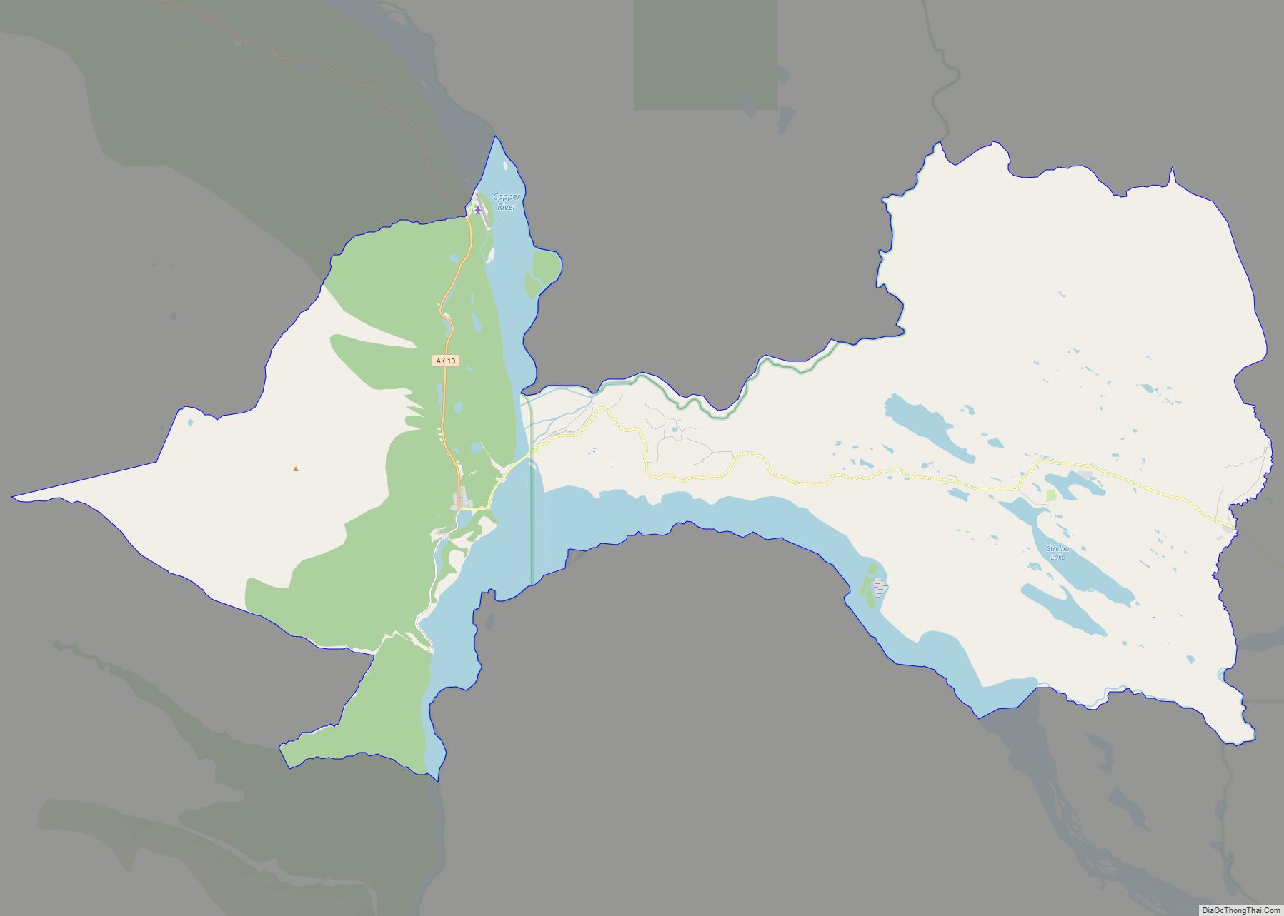
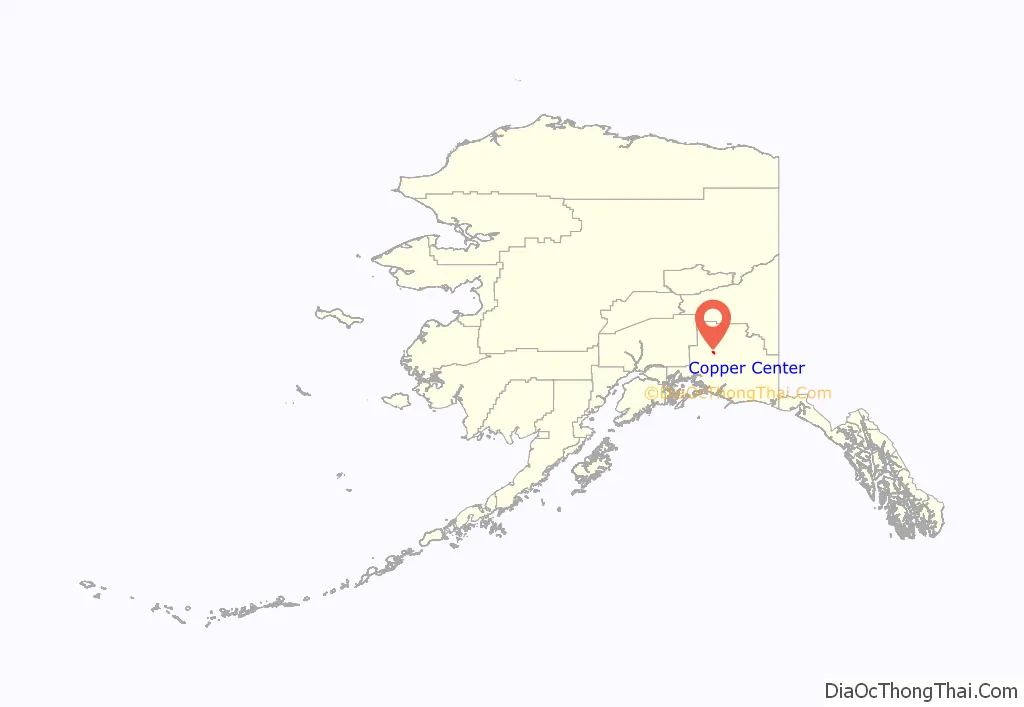
Copper Center location map. Where is Copper Center CDP?
History
Copper Center developed where the Valdez Glacier trail reached the Copper River. Andrew Holman was its first resident, establishing a temporary roadhouse near the site in July 1898 to provide shelter for prospectors on their way to the Klondike. He initially erected two tents: one served as Hotel Holman and the other as a makeshift post office. By winter 1899, Holman had replaced his tents with a substantial cabin. Leaving Dick Worthman to run the roadhouse, Holman pioneered the first mail route from Valdez to Eagle.
During the height of the Klondike stampede prospectors set up tent camps along both the Copper and Klutina rivers, but the first cabins were built on a site one half mile west of the Copper. Another camp sprang up at what was called Copper Ferry, where a ferry crossed the river. The area got a boost as a goldfield service center in June 1898, when B. F. Millard brushed a trail from there to the mouth of the Slana River via the foothills of Mt. Drum.
The east bank site of Old Copper Center apparently was settled in 1901 1902 by prospectors intent on investigating mineral prospects on that side of the river. Its days as a mining center were short lived, but it did draw a Native population and existed for many years as a village.
Copper Center rapidly became the primary supply center for prospectors and travelers in the Copper River basin. A telegraph station and the trail’s first official post office opened in 1901, with Ringwald Blix serving as the community’s first postmaster. The next year, John McCrary staked a homestead about a mile north of the Klutina River crossing. Before long, McCrary opened a hotel as well, the first frame roadhouse between Valdez and Fairbanks. Much of McCrary’s property remains in the family’s hands.
By 1910 American settlers had established over fifty homesteads in the vicinity. The community now received tri-weekly mail delivery in the winter and weekly service in the summer. It also contained the only telegraph station between Valdez and Fairbanks where money could be sent or received by wire.
Florence “Ma” Barnes acquired Hotel Holman in 1922, and renamed it the Copper Center Roadhouse and Trading Post. The original building burned in 1932 and was replaced by the southernmost portion of the current one. When Barnes died in 1948, she left her entire estate to a Valdez orphanage. Later that year, it sold George Ashby the property. Although Ashby died in 1979, his family continued to operate the roadhouse. The replacement roadhouse itself burned on May 20, 2012. The family says they intend to rebuild.
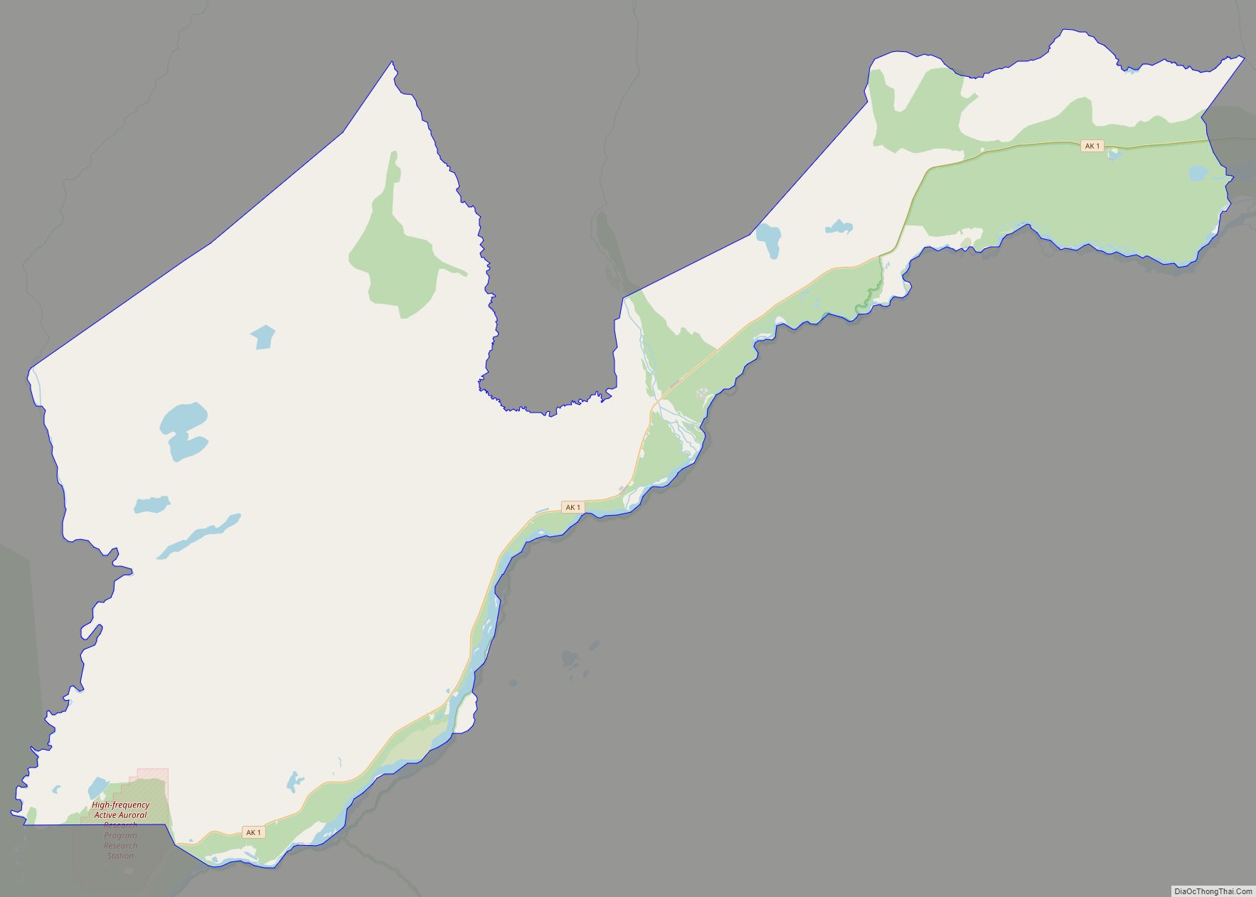
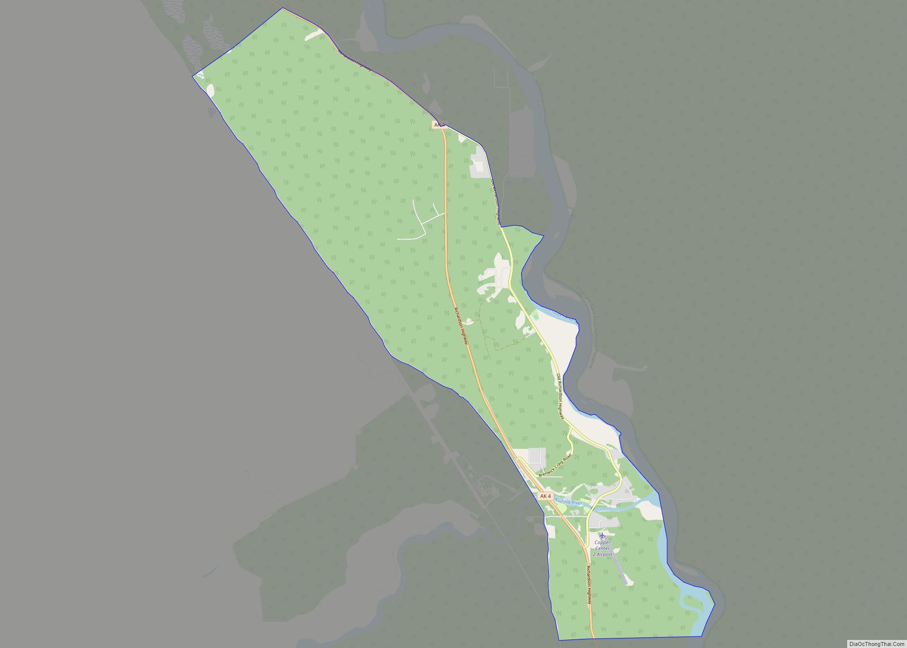
Copper Center Road Map
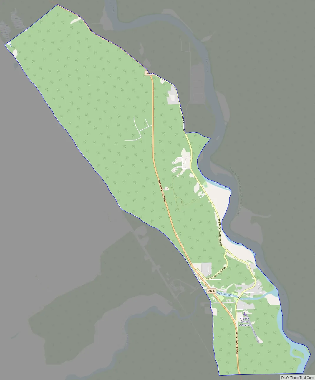
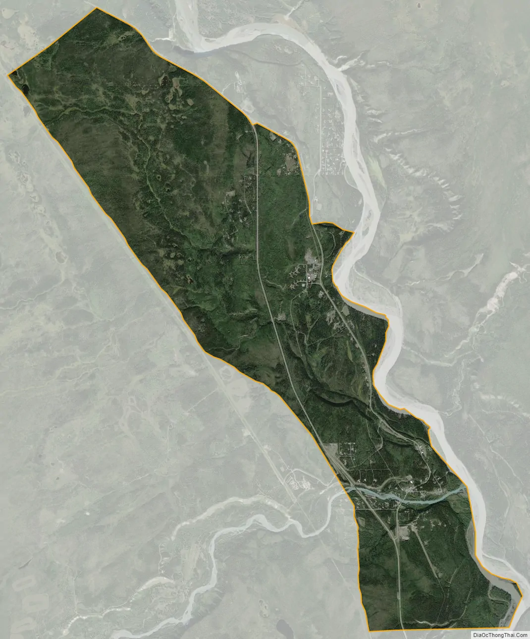
Copper Center city Satellite Map
Geography
Copper Center has a dry-summer subarctic climate (Köppen climate classification: Dsc).
Copper Center is located at 61°57′55″N 145°19′6″W / 61.96528°N 145.31833°W / 61.96528; -145.31833 (61.965305, -145.318280).
Copper Center is located on the Richardson Highway 4 south on the west bank of the Copper River at the confluence with the Klutina River. It is about 16 miles southeast of Glennallen on the Glenn Highway 1 and about 100 miles north of Valdez.
According to the United States Census Bureau, the CDP has a total area of 13.7 square miles (35 km), all of it land.
See also
Map of Alaska State and its subdivision:- Aleutians East
- Aleutians West
- Anchorage
- Bethel
- Bristol Bay
- Denali
- Dillingham
- Fairbanks North Star
- Haines
- Juneau
- Kenai Peninsula
- Ketchikan Gateway
- Kodiak Island
- Lake and Peninsula
- Matanuska-Susitna
- Nome
- North Slope
- Northwest Arctic
- Prince of Wales-Outer Ketchi
- Sitka
- Skagway-Yakutat-Angoon
- Southeast Fairbanks
- Valdez-Cordova
- Wade Hampton
- Wrangell-Petersburg
- Yukon-Koyukuk
- Alabama
- Alaska
- Arizona
- Arkansas
- California
- Colorado
- Connecticut
- Delaware
- District of Columbia
- Florida
- Georgia
- Hawaii
- Idaho
- Illinois
- Indiana
- Iowa
- Kansas
- Kentucky
- Louisiana
- Maine
- Maryland
- Massachusetts
- Michigan
- Minnesota
- Mississippi
- Missouri
- Montana
- Nebraska
- Nevada
- New Hampshire
- New Jersey
- New Mexico
- New York
- North Carolina
- North Dakota
- Ohio
- Oklahoma
- Oregon
- Pennsylvania
- Rhode Island
- South Carolina
- South Dakota
- Tennessee
- Texas
- Utah
- Vermont
- Virginia
- Washington
- West Virginia
- Wisconsin
- Wyoming