Gakona /ɡəˈkoʊnə/ (Ggax Kuna’ in Ahtna Athabascan) is a census-designated place (CDP) in the Copper River Census Area in the U.S. state of Alaska. As of the 2020 census, the population of the CDP was 169, down from 218 in 2010.
| Name: | Gakona CDP |
|---|---|
| LSAD Code: | 57 |
| LSAD Description: | CDP (suffix) |
| State: | Alaska |
| County: | Valdez-Cordova Census Area |
| Total Area: | 60.64 sq mi (157.06 km²) |
| Land Area: | 60.63 sq mi (157.03 km²) |
| Water Area: | 0.01 sq mi (0.03 km²) |
| Total Population: | 169 |
| Population Density: | 2.79/sq mi (1.08/km²) |
| ZIP code: | 99586 |
| Area code: | 907 |
| FIPS code: | 0227420 |
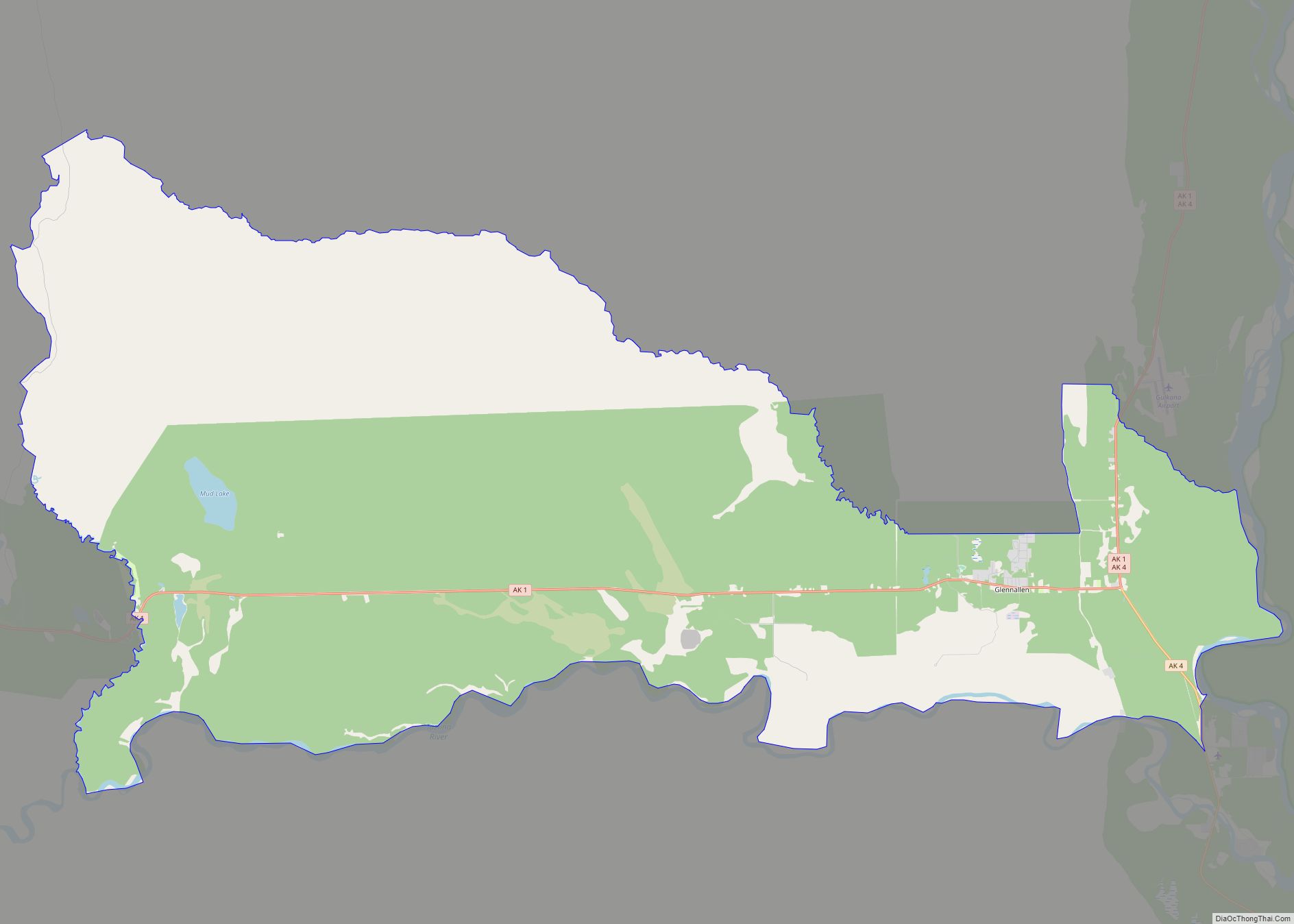
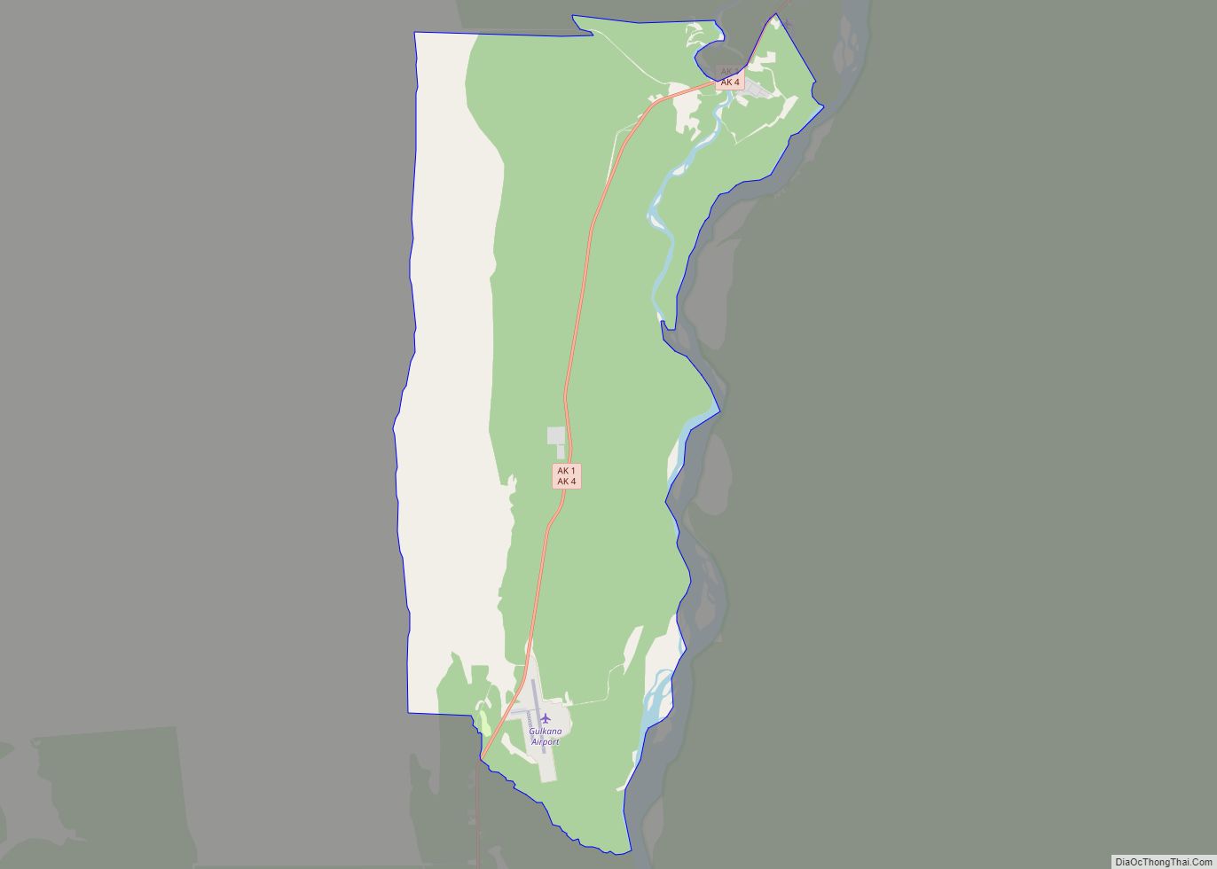
Online Interactive Map
Click on ![]() to view map in "full screen" mode.
to view map in "full screen" mode.
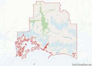
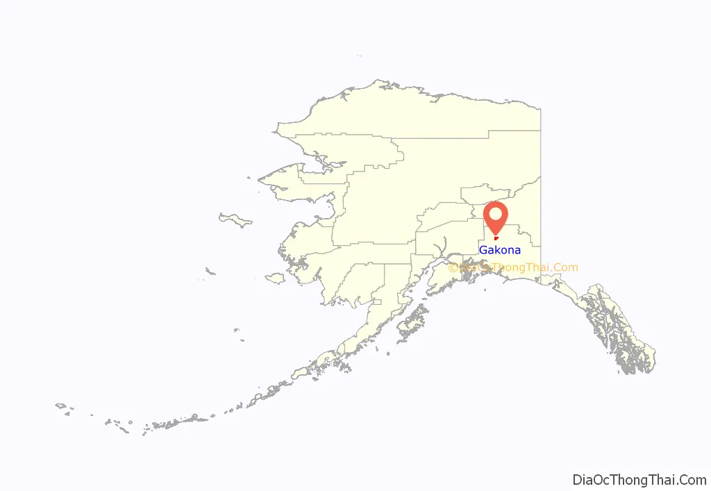
Gakona location map. Where is Gakona CDP?
History
Ahtna Athabascans have lived in the Copper River basin for 5,000 to 7,000 years. Gakona served as a wood and fish camp, and later became a permanent village. A federally recognised tribe, the Native Village of Gakona, is located in the community.
In 1904 Doyle’s Roadhouse was constructed at the junction of the Valdez-Eagle and Valdez-Fairbanks Trails, and became an essential stopping point for travelers. There was also a post office, stagecoach station and blacksmith shop here. Some buildings are still standing. Gakona Lodge was built in 1929 by Arne N Sundt and was operated by Henra Sundt until 1976 when she sold it to the Strang family. Originally from Norway, Sundt purchased the old roadhouse and property from the Slate Creek Mining Company in about 1926. Sundt was a director of the Nabesna Mining Company. The lodge is on the National Register of Historical Places. It contains 10 rooms in the lodge, 4 cabins, and restaurant and tavern. It is presently a popular destination for sports fishing, particularly king and sockeye salmon. [1]
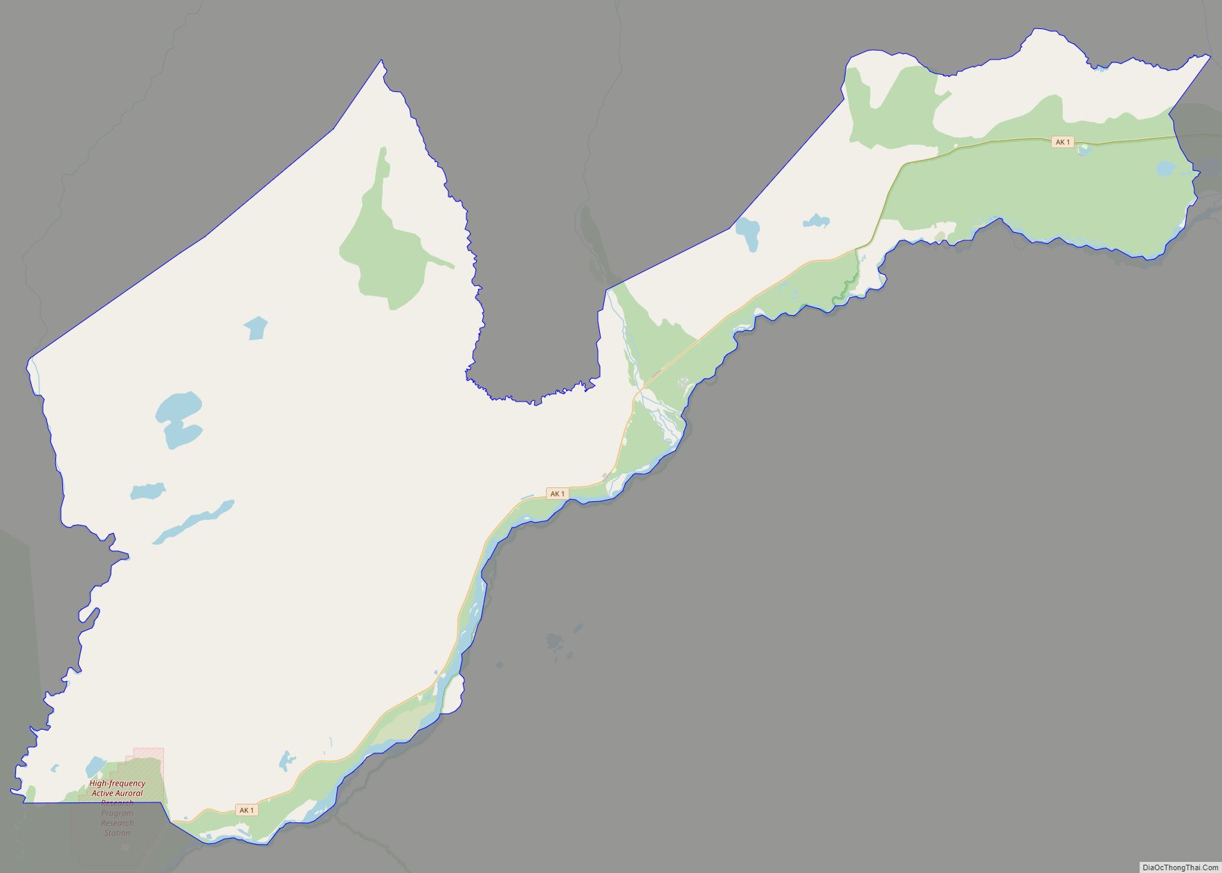
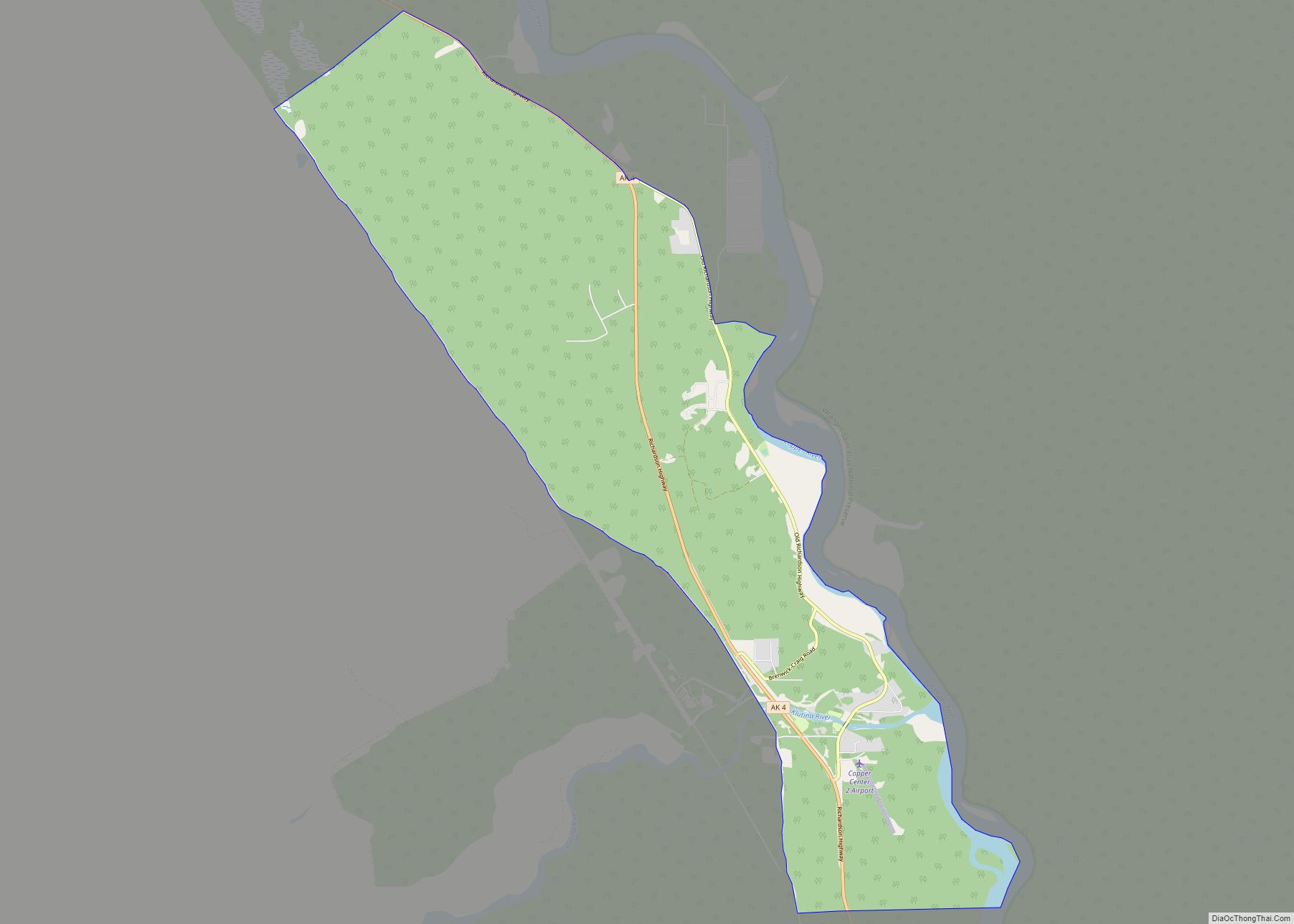
Gakona Road Map
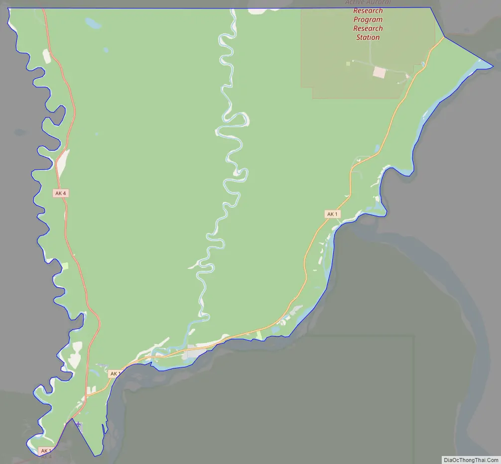
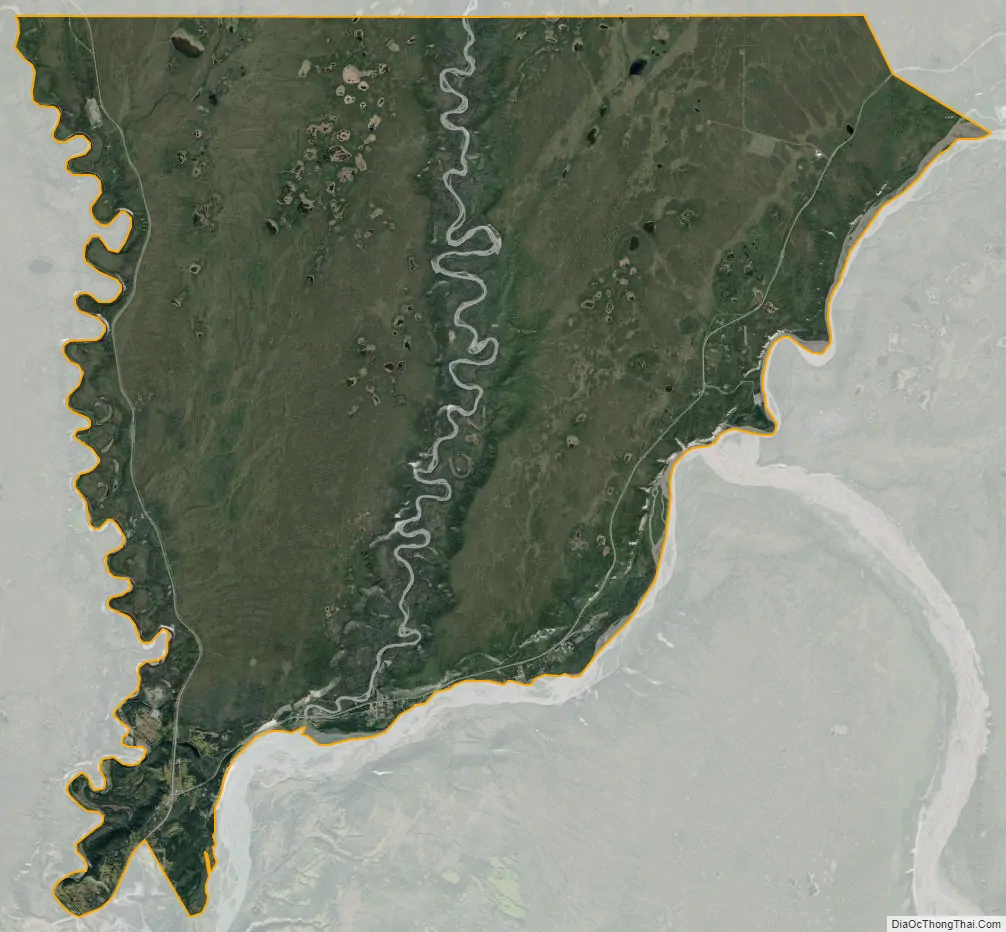
Gakona city Satellite Map
Geography
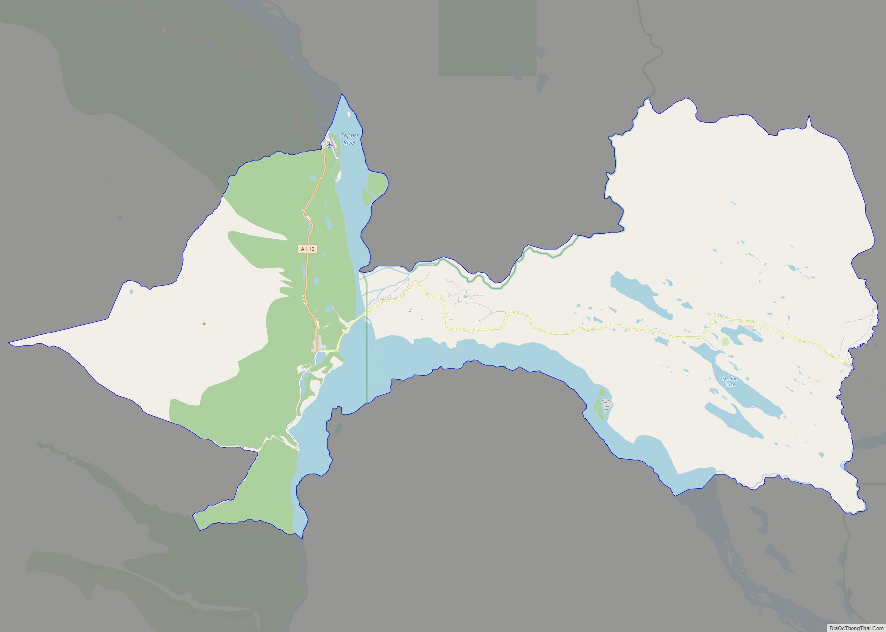
Gakona is located at 62°18′17″N 145°16′24″W / 62.30472°N 145.27333°W / 62.30472; -145.27333 (62.301940, -145.30194) (Sec. 18, T006N, R001E, Copper River Meridian). It is positioned in the Chitina Recording District in the center of Copper Valley, surrounded by mountains and the Copper River.
Gakona is at the confluence of the Copper and Gakona rivers, 15 miles (24 km) northeast of Glennallen. It lies at mile 2 on the Tok Cut-Off to the Glenn Highway, just east of the Richardson Highway. Gakona is located in the continental climate zone, with long, cold winters and relatively warm summers. Temperature extremes have been recorded from −62 to 91 °F (−52 to 33 °C). Snowfall averages 61 inches (150 cm), with total precipitation of 13 inches (330 mm) per year.
According to the United States Census Bureau, the CDP has a total area of 61.3 square miles (159 km), all of it land.
See also
Map of Alaska State and its subdivision:- Aleutians East
- Aleutians West
- Anchorage
- Bethel
- Bristol Bay
- Denali
- Dillingham
- Fairbanks North Star
- Haines
- Juneau
- Kenai Peninsula
- Ketchikan Gateway
- Kodiak Island
- Lake and Peninsula
- Matanuska-Susitna
- Nome
- North Slope
- Northwest Arctic
- Prince of Wales-Outer Ketchi
- Sitka
- Skagway-Yakutat-Angoon
- Southeast Fairbanks
- Valdez-Cordova
- Wade Hampton
- Wrangell-Petersburg
- Yukon-Koyukuk
- Alabama
- Alaska
- Arizona
- Arkansas
- California
- Colorado
- Connecticut
- Delaware
- District of Columbia
- Florida
- Georgia
- Hawaii
- Idaho
- Illinois
- Indiana
- Iowa
- Kansas
- Kentucky
- Louisiana
- Maine
- Maryland
- Massachusetts
- Michigan
- Minnesota
- Mississippi
- Missouri
- Montana
- Nebraska
- Nevada
- New Hampshire
- New Jersey
- New Mexico
- New York
- North Carolina
- North Dakota
- Ohio
- Oklahoma
- Oregon
- Pennsylvania
- Rhode Island
- South Carolina
- South Dakota
- Tennessee
- Texas
- Utah
- Vermont
- Virginia
- Washington
- West Virginia
- Wisconsin
- Wyoming