Kaltag (KAL-tag) (Koyukon: Ggaał Doh [qæːɬ toh]; Inupiaq: Qałtaq) is a city and village in Yukon-Koyukuk Census Area, Alaska, United States. At the 2010 census the population was 190, down from 230 in 2000.
| Name: | Kaltag city |
|---|---|
| LSAD Code: | 25 |
| LSAD Description: | city (suffix) |
| State: | Alaska |
| County: | Yukon-Koyukuk Census Area |
| Incorporated: | June 6, 1969 |
| Elevation: | 98 ft (30 m) |
| Total Area: | 27.55 sq mi (71.37 km²) |
| Land Area: | 21.64 sq mi (56.05 km²) |
| Water Area: | 5.92 sq mi (15.32 km²) |
| Total Population: | 158 |
| Population Density: | 7.30/sq mi (2.82/km²) |
| ZIP code: | 99748 |
| Area code: | 907 |
| FIPS code: | 0237430 |
| GNISfeature ID: | 1404379 |
Online Interactive Map
Click on ![]() to view map in "full screen" mode.
to view map in "full screen" mode.
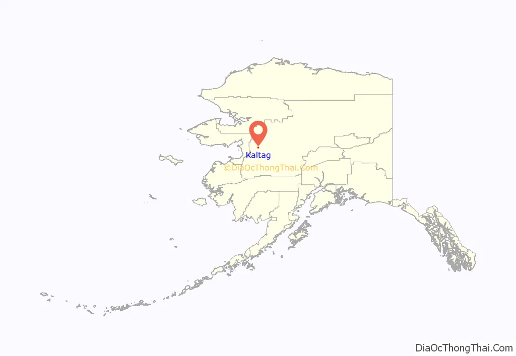
Kaltag location map. Where is Kaltag city?
History
Kaltag was a Koyokon Athabascan area used as a cemetery for surrounding villages. It is located on an old portage trail which led west through the mountains to Unalakleet. The Athabascans had seasonal camps in the area and moved as the wild game migrated. There were 12 summer fish camps located on the Yukon River between the Koyukuk River and the Nowitna River.
Kaltag was named by Russians for a Koyokon man named Kaltaga.
There was a smallpox epidemic in 1839 that killed a large part of the population of the area.
After the Alaska Purchase, a United States military telegraph line was constructed along the north side of the Yukon River. A trading post opened around 1880, just before the gold rush of 1884–85. Steamboats on the Yukon, which supplied gold prospectors ran before and after 1900 with 46 boats in operation on the river in the peak year of 1900. A measles epidemic and food shortages during 1900 reduced the population of the area by one-third. The village Kaltag was established after the epidemic when survivors from three nearby villages moved to the area.
There was a minor gold rush in the area in the 1880s. In 1906, gold seekers left for Fairbanks or Nome; however, the Galena lead mines began operating in 1919. Kaltag was downriver from the mines and grew as a point on the transportation route for the mines. It declined in the 1940s as mining declined.
The old cemetery caved into the river around 1937. An airport and clinic were constructed during the 1960s.
Kaltag has a week long Stick Dance (memorial Potlatch) every two years that draws visitors from many neighboring villages. This Potlatch is sponsored by relatives of the recently deceased, in appreciation of those who helped during their time of mourning.
Much of the economy around Kaltag is based on subsistence hunting and fishing. Salmon, whitefish, moose, bear, waterfowl and berries are elements of the subsistence economy.
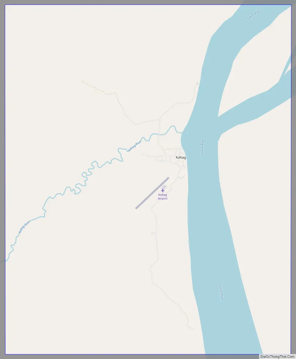
Kaltag Road Map
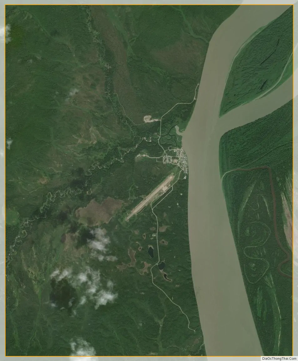
Kaltag city Satellite Map
Geography
Kaltag is located at 64°19′31″N 158°43′37″W / 64.32528°N 158.72694°W / 64.32528; -158.72694 (64.325145, -158.727030) and is on the west bank of the Yukon River, 120 km (75 mi) west of Galena of 27.4 square miles (71 km), of which, 23.3 square miles (60 km) of it is land and 4.1 square miles (11 km) of it (14.97%) is water.
Climate
The climate is transitional between the coast and interior.
See also
Map of Alaska State and its subdivision:- Aleutians East
- Aleutians West
- Anchorage
- Bethel
- Bristol Bay
- Denali
- Dillingham
- Fairbanks North Star
- Haines
- Juneau
- Kenai Peninsula
- Ketchikan Gateway
- Kodiak Island
- Lake and Peninsula
- Matanuska-Susitna
- Nome
- North Slope
- Northwest Arctic
- Prince of Wales-Outer Ketchi
- Sitka
- Skagway-Yakutat-Angoon
- Southeast Fairbanks
- Valdez-Cordova
- Wade Hampton
- Wrangell-Petersburg
- Yukon-Koyukuk
- Alabama
- Alaska
- Arizona
- Arkansas
- California
- Colorado
- Connecticut
- Delaware
- District of Columbia
- Florida
- Georgia
- Hawaii
- Idaho
- Illinois
- Indiana
- Iowa
- Kansas
- Kentucky
- Louisiana
- Maine
- Maryland
- Massachusetts
- Michigan
- Minnesota
- Mississippi
- Missouri
- Montana
- Nebraska
- Nevada
- New Hampshire
- New Jersey
- New Mexico
- New York
- North Carolina
- North Dakota
- Ohio
- Oklahoma
- Oregon
- Pennsylvania
- Rhode Island
- South Carolina
- South Dakota
- Tennessee
- Texas
- Utah
- Vermont
- Virginia
- Washington
- West Virginia
- Wisconsin
- Wyoming


