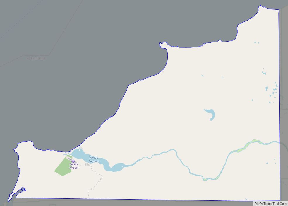
Karluk (Kal’uq or Kal’ut in Alutiiq; Russian: Карлук) is a census-designated place (CDP) in Kodiak Borough, Kodiak Island, Alaska, United States. The population was 37 at the 2010 census, up from 27 in 2000.
| Name: | Karluk CDP |
|---|---|
| LSAD Code: | 57 |
| LSAD Description: | CDP (suffix) |
| State: | Alaska |
| County: | Kodiak Island Borough |
| Total Area: | 57.86 sq mi (149.86 km²) |
| Land Area: | 55.94 sq mi (144.89 km²) |
| Water Area: | 1.92 sq mi (4.97 km²) |
| Total Population: | 27 |
| Population Density: | 0.48/sq mi (0.19/km²) |
| ZIP code: | 99608 |
| Area code: | 907 |
| FIPS code: | 0237540 |
Online Interactive Map
Click on ![]() to view map in "full screen" mode.
to view map in "full screen" mode.
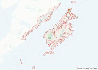
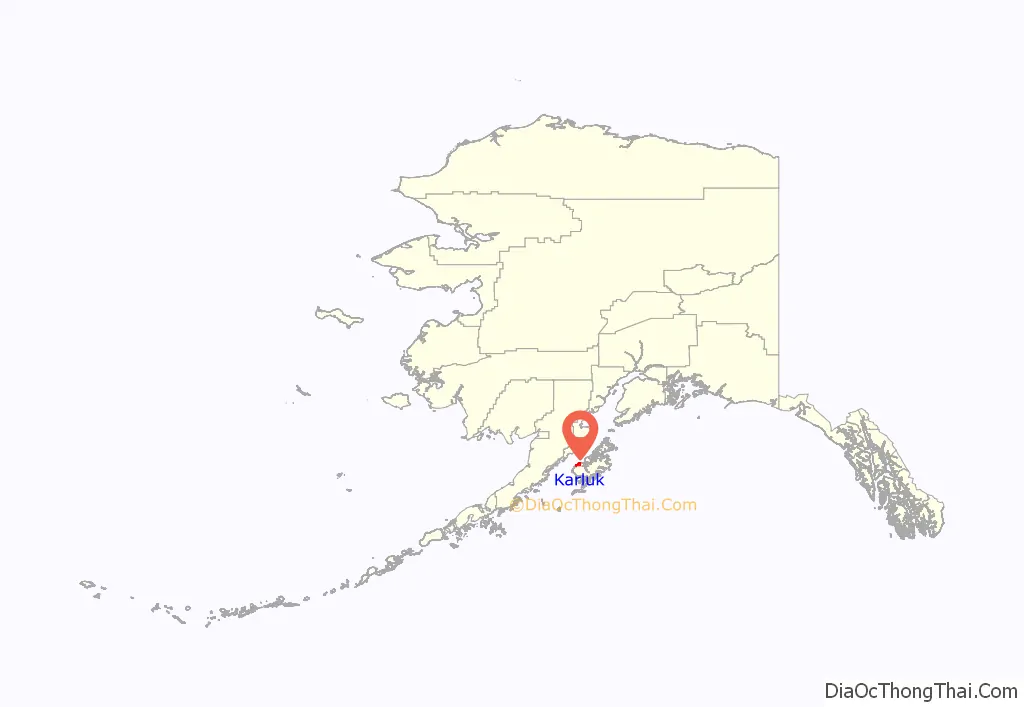
Karluk location map. Where is Karluk CDP?
History
In 1787 Evstratii Delarov, manager of the Russian Shelikhov-Golikov Company established an outpost at Karluk.
On March 17, 1945, the village participated in the rescue of seven (7) U.S. Navy aviators who ditched their PB1 Ventura patrol bomber offshore. U.S. Navy Archives
In 2021, the Ascension of Our Lord Chapel was relocated from a bluff overlooking the river to prevent its destruction.
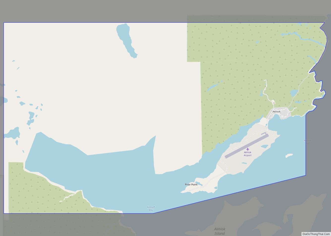
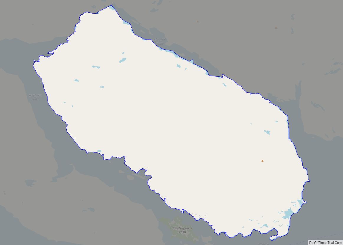
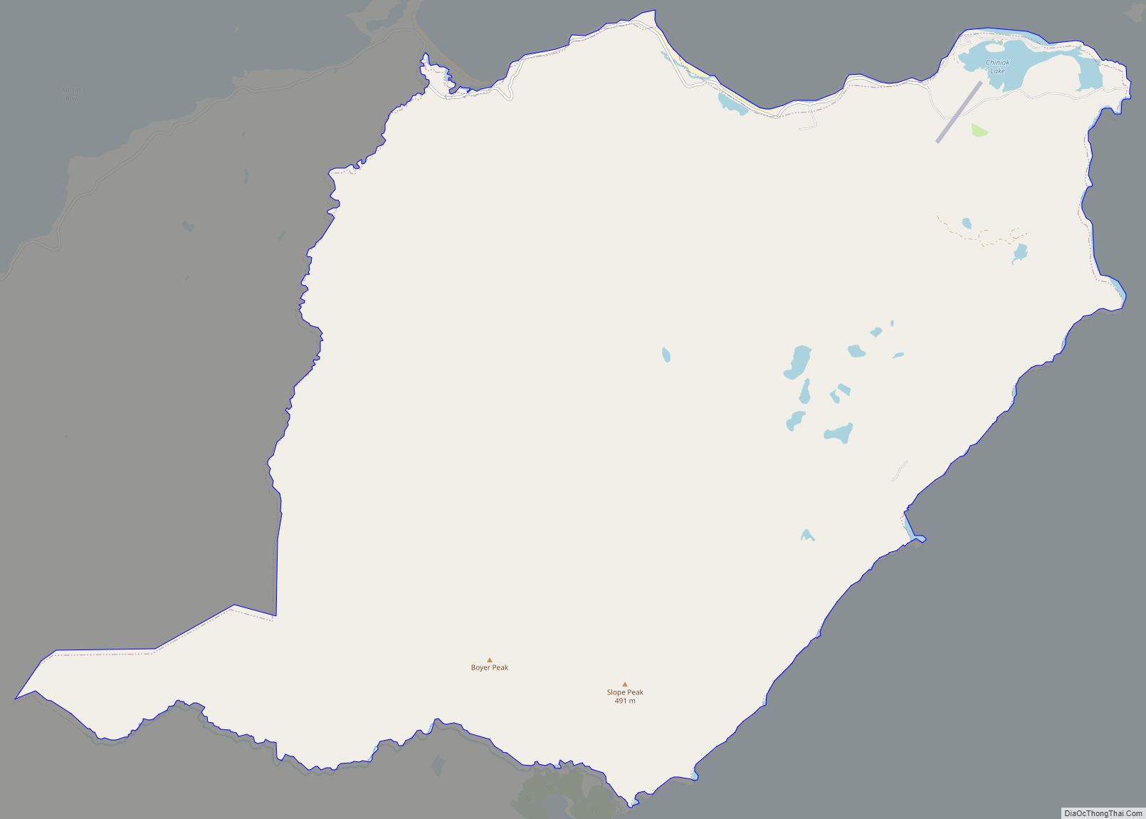
Karluk Road Map
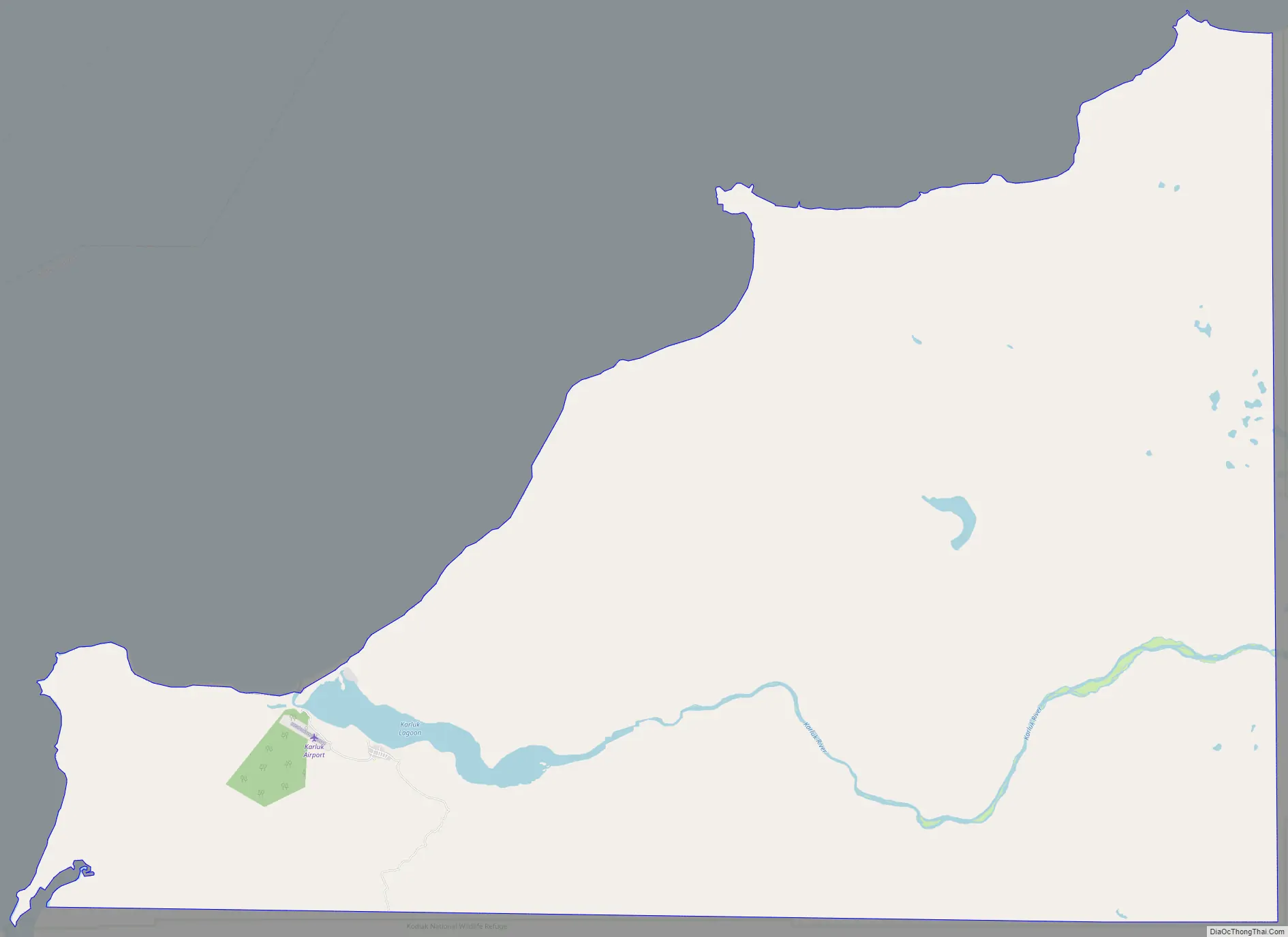
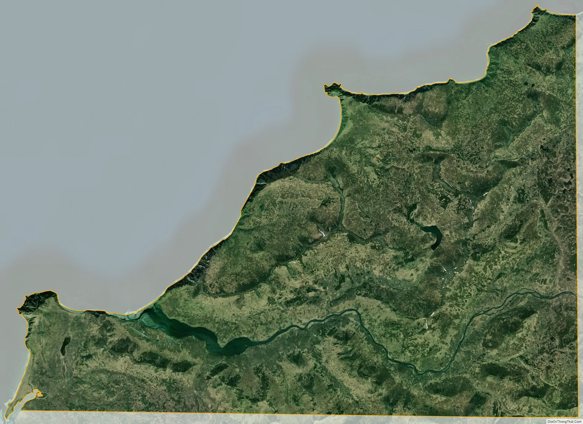
Karluk city Satellite Map
Geography
Karluk is located at 57°34′41″N 154°21′45″W / 57.57806°N 154.36250°W / 57.57806; -154.36250 (57.578081, -154.362557)
According to the United States Census Bureau, the CDP has a total area of 57.9 square miles (149.9 km), of which 55.4 square miles (143.6 km) is land and 2.4 square miles (6.3 km), or 4.20%, is water. Karluk is 88 miles (142 km) southwest of Kodiak City. The elevation is 137 feet (42 m).
See also
Map of Alaska State and its subdivision:- Aleutians East
- Aleutians West
- Anchorage
- Bethel
- Bristol Bay
- Denali
- Dillingham
- Fairbanks North Star
- Haines
- Juneau
- Kenai Peninsula
- Ketchikan Gateway
- Kodiak Island
- Lake and Peninsula
- Matanuska-Susitna
- Nome
- North Slope
- Northwest Arctic
- Prince of Wales-Outer Ketchi
- Sitka
- Skagway-Yakutat-Angoon
- Southeast Fairbanks
- Valdez-Cordova
- Wade Hampton
- Wrangell-Petersburg
- Yukon-Koyukuk
- Alabama
- Alaska
- Arizona
- Arkansas
- California
- Colorado
- Connecticut
- Delaware
- District of Columbia
- Florida
- Georgia
- Hawaii
- Idaho
- Illinois
- Indiana
- Iowa
- Kansas
- Kentucky
- Louisiana
- Maine
- Maryland
- Massachusetts
- Michigan
- Minnesota
- Mississippi
- Missouri
- Montana
- Nebraska
- Nevada
- New Hampshire
- New Jersey
- New Mexico
- New York
- North Carolina
- North Dakota
- Ohio
- Oklahoma
- Oregon
- Pennsylvania
- Rhode Island
- South Carolina
- South Dakota
- Tennessee
- Texas
- Utah
- Vermont
- Virginia
- Washington
- West Virginia
- Wisconsin
- Wyoming