Koyukuk (/ˈkaɪjəkək/) (Koyukon: Meneelghaadze’ T’oh [məniːlʁæːt͡səʔ tʼoh]) is a city in Yukon-Koyukuk Census Area, Alaska, United States. At the 2010 census the population was 96, down from 101 in 2000.
As of 2009, Koyukuk is one of a number of Alaskan communities threatened by erosion.
| Name: | Koyukuk city |
|---|---|
| LSAD Code: | 25 |
| LSAD Description: | city (suffix) |
| State: | Alaska |
| County: | Yukon-Koyukuk Census Area |
| Incorporated: | September 25, 1973 |
| Elevation: | 118 ft (36 m) |
| Total Area: | 5.85 sq mi (15.15 km²) |
| Land Area: | 5.75 sq mi (14.88 km²) |
| Water Area: | 0.10 sq mi (0.27 km²) |
| Total Population: | 98 |
| Population Density: | 17.06/sq mi (6.59/km²) |
| ZIP code: | 99754 |
| Area code: | 907 |
| FIPS code: | 0242050 |
| GNISfeature ID: | 1404984 |
Online Interactive Map
Click on ![]() to view map in "full screen" mode.
to view map in "full screen" mode.
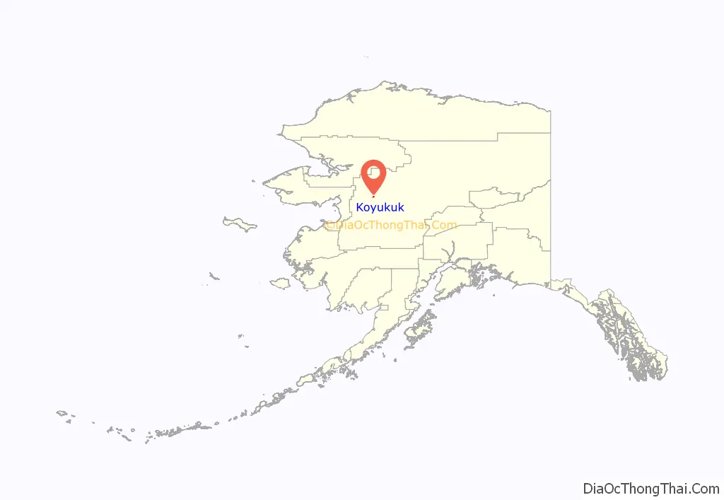
Koyukuk location map. Where is Koyukuk city?
History
The Koyukon Athabascans had seasonal camps and moved when the wild game migrated. There were 12 summer fish camps located on the Yukon River between the Koyukuk River and the Nowitna River. Trading between the Koyukon and Inupiat of the Kobuk River area has occurred before the arrival of Europeans.
After the Alaska Purchase, a United States military telegraph line was constructed along the north side of the Yukon River and Koyukuk became the site of a telegraph station. A trading post opened around 1880, just before the gold rush of 1884–85. Steamboats on the Yukon, which supplied gold prospectors ran before and after 1900 with 46 boats in operation on the river in the peak year of 1900. A measles epidemic and food shortages during 1900 reduced the population of the area by one-third.
The first school in Koyukuk was constructed in 1939. After the school was built, families began to live at Koyukuk year-round.
Koyukuk was used as an Iditarod checkpoint in 2015 when the race was rerouted from Fairbanks.
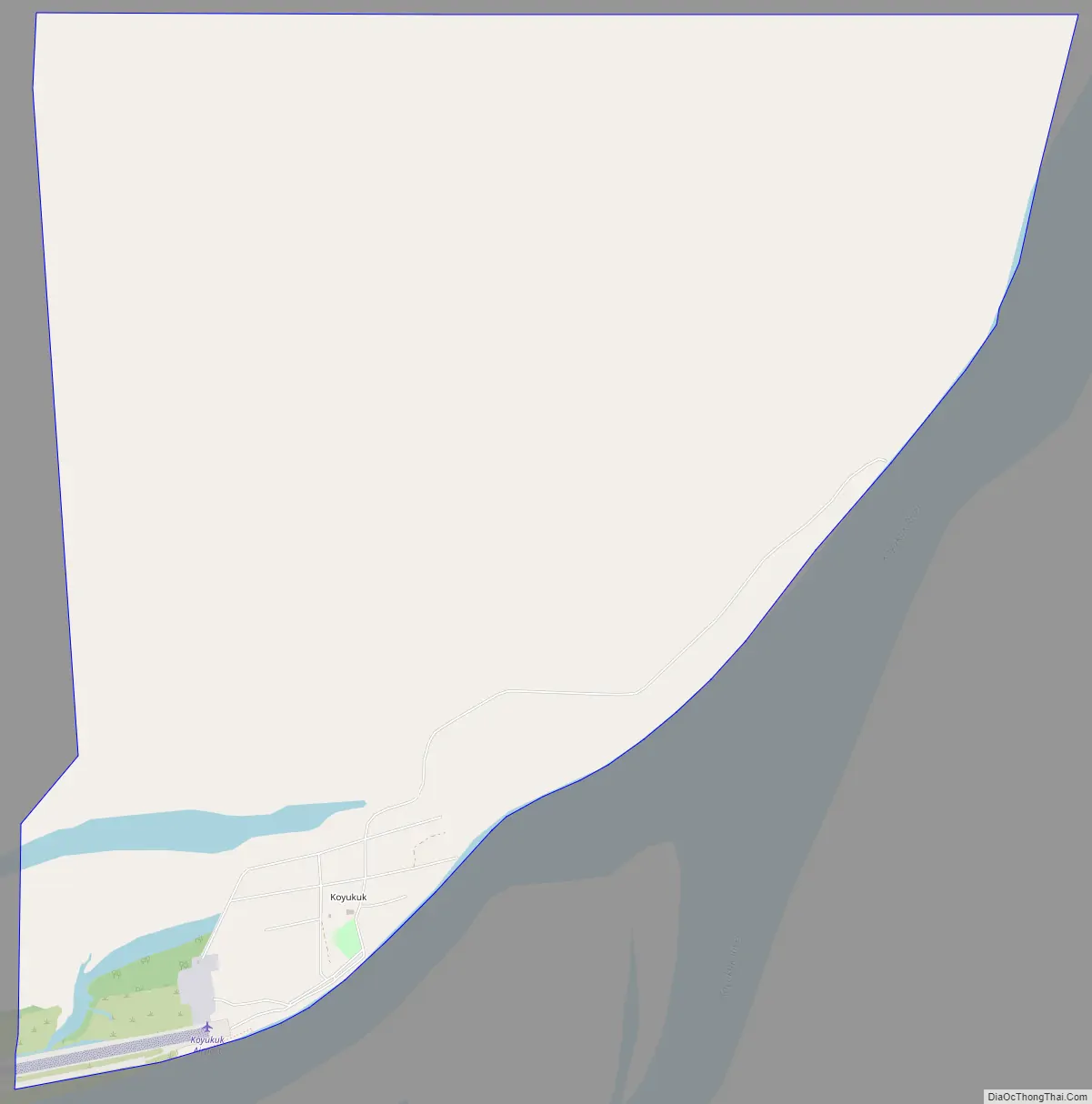
Koyukuk Road Map
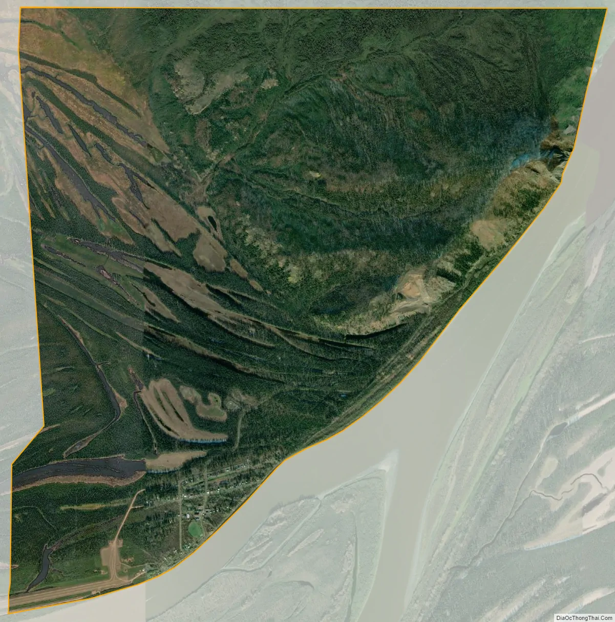
Koyukuk city Satellite Map
Geography
Koyukuk is located at 64°52′54″N 157°42′16″W / 64.881745°N 157.704393°W / 64.881745; -157.704393.
Koyukuk is located on the Yukon River near the mouth of the Koyukuk River. It is 50 km (31 mi) west of Galena. It is adjacent to the Koyukuk National Wildlife Refuge and the Innoko National Wildlife Refuge.
According to the United States Census Bureau, the city has a total area of 6.3 square miles (16 km), of which, 6.2 square miles (16 km) of it is land and 0.04 square miles (0.10 km) of it (0.64%) is water.
See also
Map of Alaska State and its subdivision:- Aleutians East
- Aleutians West
- Anchorage
- Bethel
- Bristol Bay
- Denali
- Dillingham
- Fairbanks North Star
- Haines
- Juneau
- Kenai Peninsula
- Ketchikan Gateway
- Kodiak Island
- Lake and Peninsula
- Matanuska-Susitna
- Nome
- North Slope
- Northwest Arctic
- Prince of Wales-Outer Ketchi
- Sitka
- Skagway-Yakutat-Angoon
- Southeast Fairbanks
- Valdez-Cordova
- Wade Hampton
- Wrangell-Petersburg
- Yukon-Koyukuk
- Alabama
- Alaska
- Arizona
- Arkansas
- California
- Colorado
- Connecticut
- Delaware
- District of Columbia
- Florida
- Georgia
- Hawaii
- Idaho
- Illinois
- Indiana
- Iowa
- Kansas
- Kentucky
- Louisiana
- Maine
- Maryland
- Massachusetts
- Michigan
- Minnesota
- Mississippi
- Missouri
- Montana
- Nebraska
- Nevada
- New Hampshire
- New Jersey
- New Mexico
- New York
- North Carolina
- North Dakota
- Ohio
- Oklahoma
- Oregon
- Pennsylvania
- Rhode Island
- South Carolina
- South Dakota
- Tennessee
- Texas
- Utah
- Vermont
- Virginia
- Washington
- West Virginia
- Wisconsin
- Wyoming


