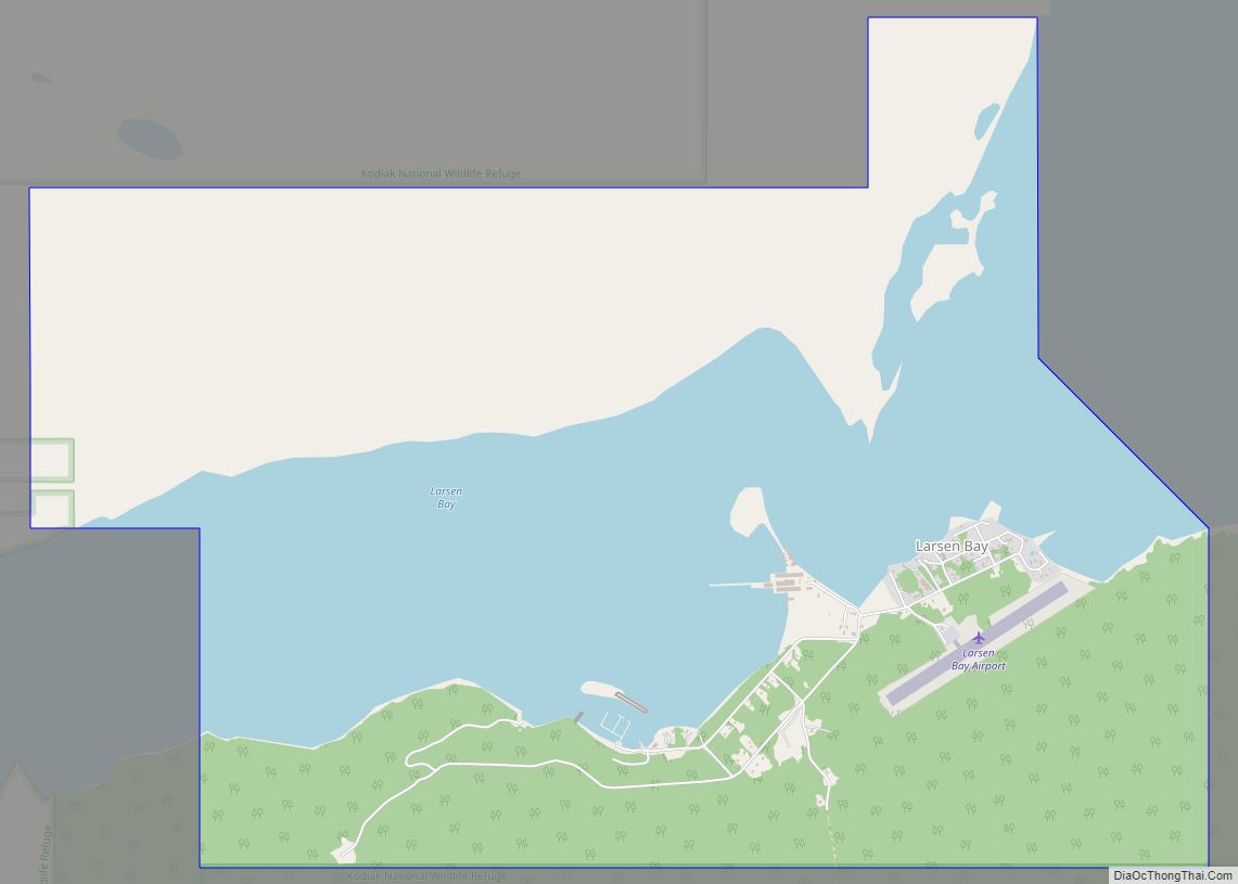
Larsen Bay (Alutiiq: Uyaqsaq) is a city in Kodiak Island Borough, Alaska, United States. At the 2010 census the population was 87, down from 115 in 2000.
| Name: | Larsen Bay city |
|---|---|
| LSAD Code: | 25 |
| LSAD Description: | city (suffix) |
| State: | Alaska |
| County: | Kodiak Island Borough |
| Incorporated: | 1974 |
| Elevation: | 3 ft (1 m) |
| Total Area: | 6.31 sq mi (16.34 km²) |
| Land Area: | 4.03 sq mi (10.44 km²) |
| Water Area: | 2.27 sq mi (5.89 km²) |
| Total Population: | 34 |
| Population Density: | 8.43/sq mi (3.26/km²) |
| ZIP code: | 99624 |
| Area code: | 907 |
| FIPS code: | 0243040 |
| GNISfeature ID: | 1405216 |
Online Interactive Map
Click on ![]() to view map in "full screen" mode.
to view map in "full screen" mode.
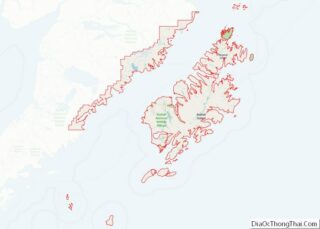
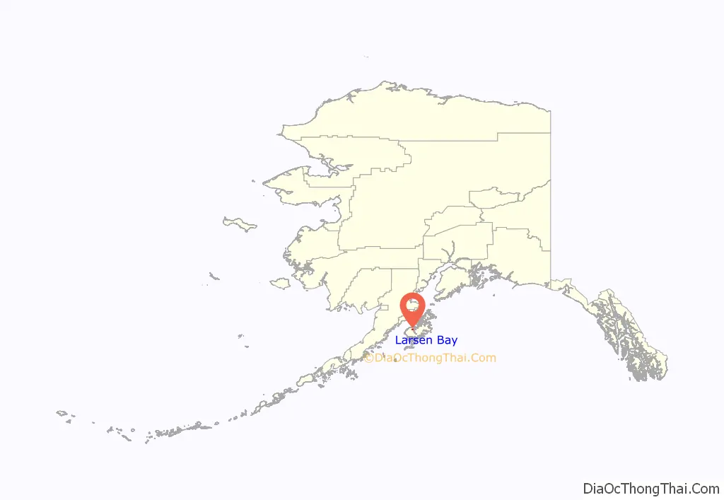
Larsen Bay location map. Where is Larsen Bay city?
History
Larsen Bay was named in honor of local hunter and sailor Peter Adolf Larsen, a Danish immigrant. Larsen was born in 1862 on the Danish island of Lolland and died in 1940 on Unga Island.
Larsen Bay first appeared on the 1940 U.S. Census as an unincorporated village. It formally incorporated as a city in 1974.
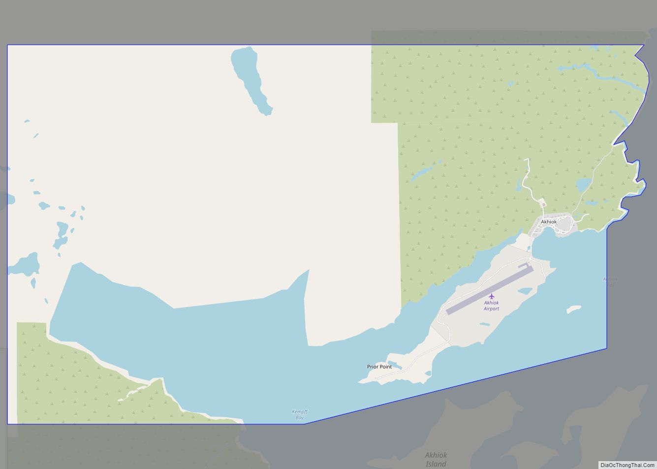
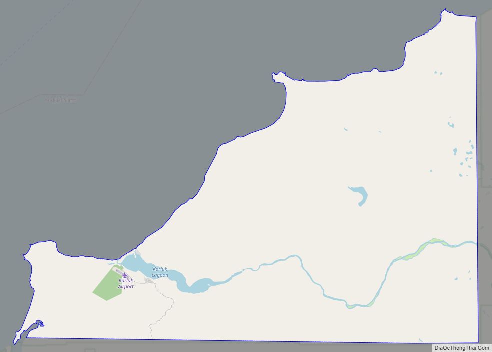
Larsen Bay Road Map
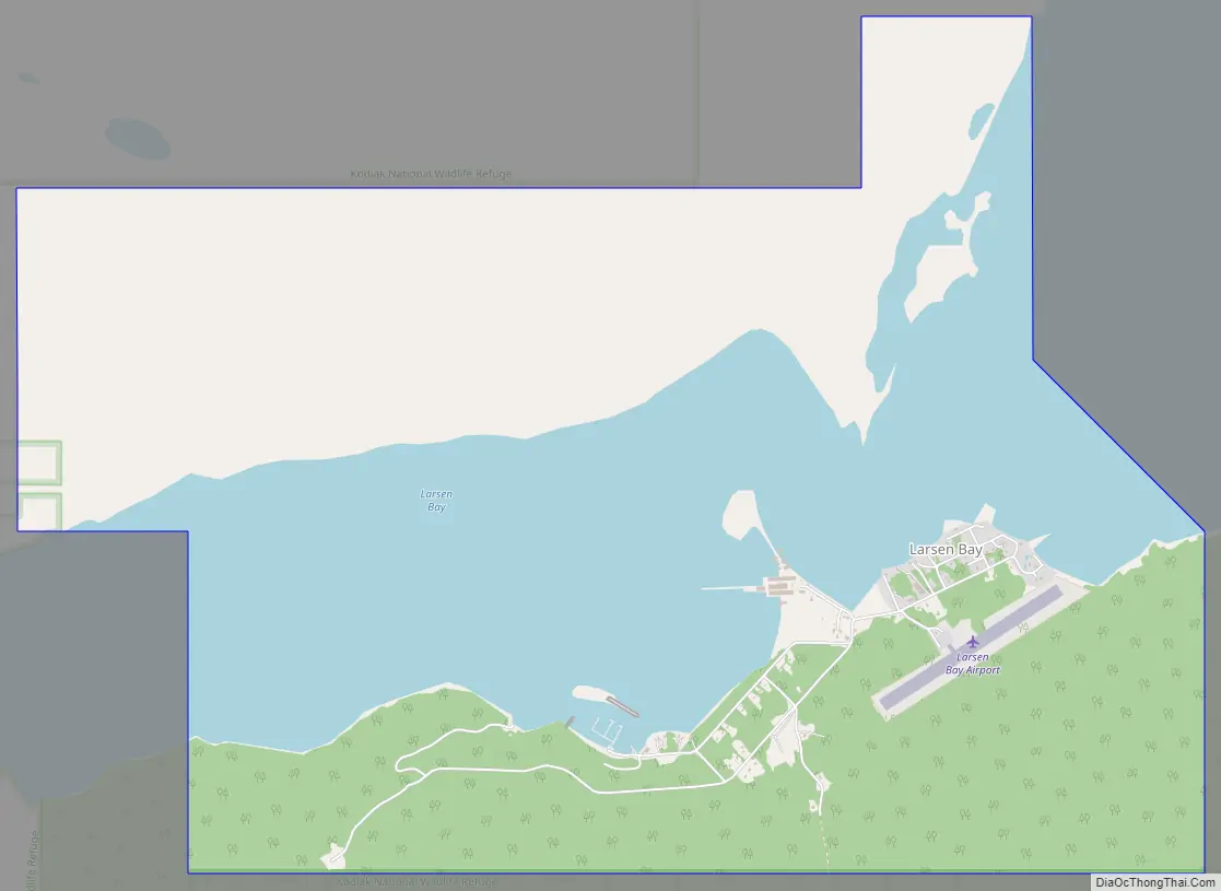
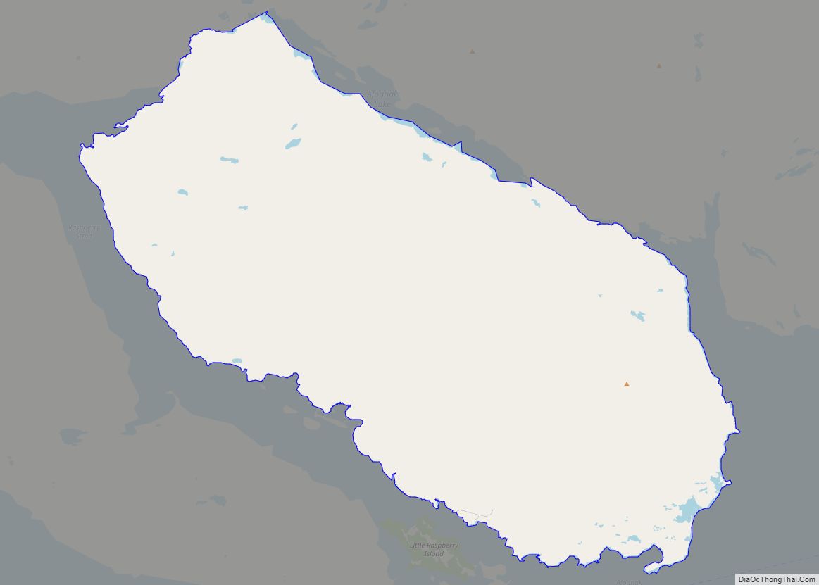
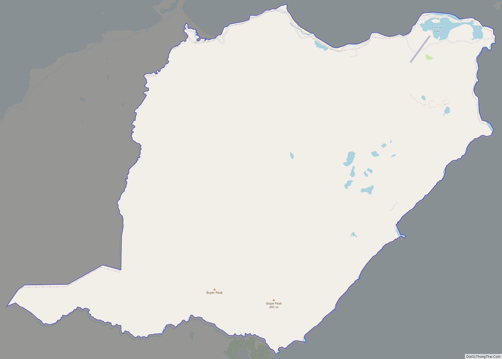
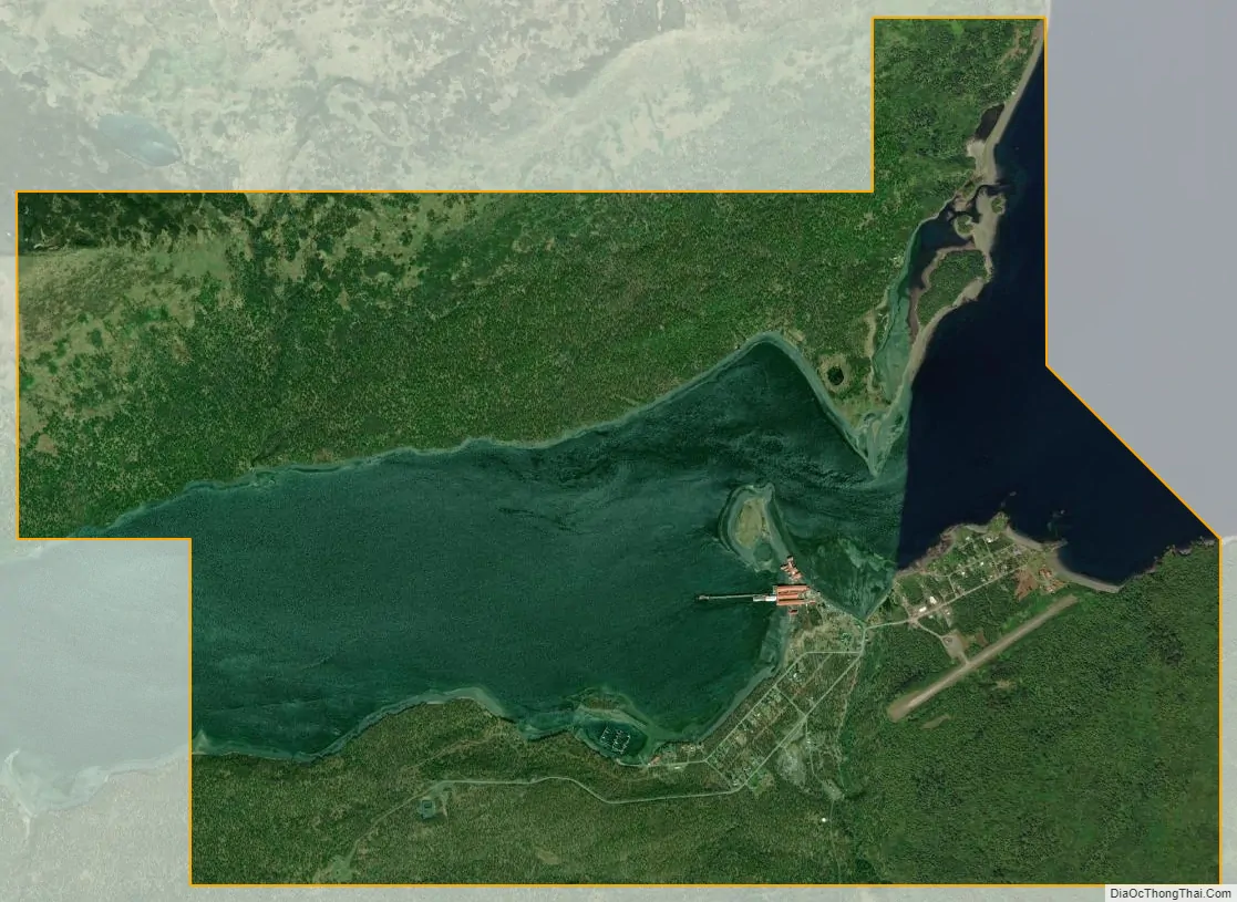
Larsen Bay city Satellite Map
Geography
Larsen Bay is located at 57°32′12″N 153°59′29″W / 57.53667°N 153.99139°W / 57.53667; -153.99139 (57.536651, -153.991440).
According to the United States Census Bureau, the city has a total area of 7.6 square miles (20 km), of which, 5.4 square miles (14 km) of it is land and 2.2 square miles (5.7 km) of it (28.7%) is water.
Climate
See also
Map of Alaska State and its subdivision:- Aleutians East
- Aleutians West
- Anchorage
- Bethel
- Bristol Bay
- Denali
- Dillingham
- Fairbanks North Star
- Haines
- Juneau
- Kenai Peninsula
- Ketchikan Gateway
- Kodiak Island
- Lake and Peninsula
- Matanuska-Susitna
- Nome
- North Slope
- Northwest Arctic
- Prince of Wales-Outer Ketchi
- Sitka
- Skagway-Yakutat-Angoon
- Southeast Fairbanks
- Valdez-Cordova
- Wade Hampton
- Wrangell-Petersburg
- Yukon-Koyukuk
- Alabama
- Alaska
- Arizona
- Arkansas
- California
- Colorado
- Connecticut
- Delaware
- District of Columbia
- Florida
- Georgia
- Hawaii
- Idaho
- Illinois
- Indiana
- Iowa
- Kansas
- Kentucky
- Louisiana
- Maine
- Maryland
- Massachusetts
- Michigan
- Minnesota
- Mississippi
- Missouri
- Montana
- Nebraska
- Nevada
- New Hampshire
- New Jersey
- New Mexico
- New York
- North Carolina
- North Dakota
- Ohio
- Oklahoma
- Oregon
- Pennsylvania
- Rhode Island
- South Carolina
- South Dakota
- Tennessee
- Texas
- Utah
- Vermont
- Virginia
- Washington
- West Virginia
- Wisconsin
- Wyoming