Marshall (Central Yupik: Masserculleq) is a city in Kusilvak Census Area, Alaska, United States. At the 2010 census the population was 414, up from 349 in 2000.
| Name: | Marshall city |
|---|---|
| LSAD Code: | 25 |
| LSAD Description: | city (suffix) |
| State: | Alaska |
| County: | Kusilvak Census Area |
| Incorporated: | June 9, 1970 |
| Elevation: | 115 ft (35 m) |
| Total Area: | 4.06 sq mi (10.53 km²) |
| Land Area: | 4.06 sq mi (10.52 km²) |
| Water Area: | 0.00 sq mi (0.01 km²) |
| Total Population: | 492 |
| Population Density: | 121.15/sq mi (46.78/km²) |
| ZIP code: | 99585 |
| Area code: | 907 |
| FIPS code: | 0247000 |
| GNISfeature ID: | 1405984 |
Online Interactive Map
Click on ![]() to view map in "full screen" mode.
to view map in "full screen" mode.
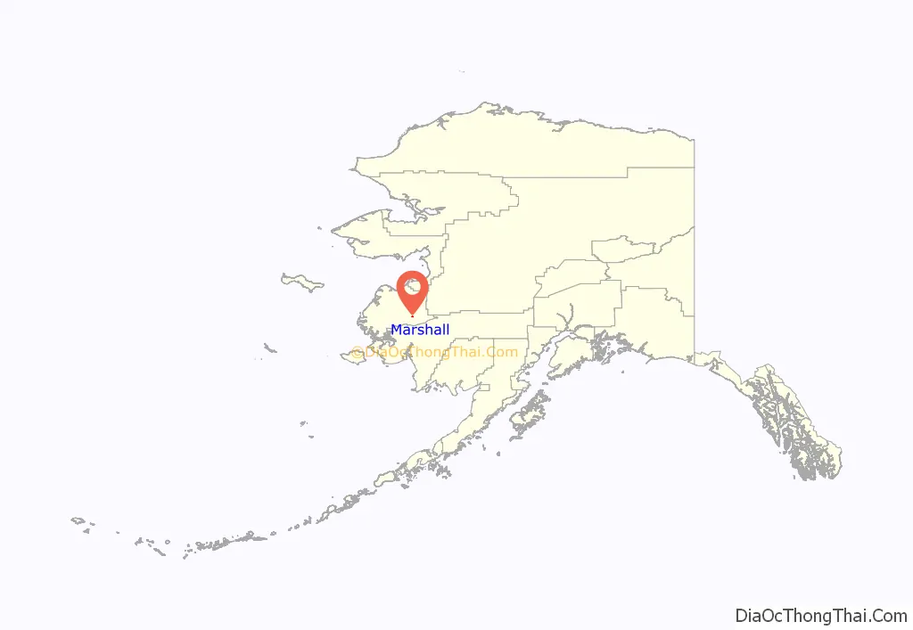
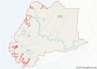
Marshall location map. Where is Marshall city?
History
Marshall’s previous name, changed in 1984, from Fortuna Ledge, was a mining village in the 1800s and early 1900s, with mining operations in Wilson Creek, just down river from the Ledge. With that, many Alaska Natives were moved from other villages, as far away as Unalakleet, Ohogamuit and Takchak. With that, there are two main Native groups, the Yupik descendants, hailing from both Takchak and Ohogamuit, and the Inupiaq descendants, hailing from Unalakleet. Along with those of Native descent, Marshall hosts a population of people of Russian descendant mixed with Inupiaqs and has become a Yup’ik/Inupiaq/Russian community. Marshall was reportedly named for Vice-president Thomas Riley Marshall, who served from 1913 to 1921.
Marshall Road Map
Marshall city Satellite Map
Geography
Marshall is located at 61°52′41″N 162°05′05″W / 61.878073°N 162.084812°W / 61.878073; -162.084812.
According to the United States Census Bureau, the city has a total area of 4.7 square miles (12 km), all of it land.
See also
Map of Alaska State and its subdivision:- Aleutians East
- Aleutians West
- Anchorage
- Bethel
- Bristol Bay
- Denali
- Dillingham
- Fairbanks North Star
- Haines
- Juneau
- Kenai Peninsula
- Ketchikan Gateway
- Kodiak Island
- Lake and Peninsula
- Matanuska-Susitna
- Nome
- North Slope
- Northwest Arctic
- Prince of Wales-Outer Ketchi
- Sitka
- Skagway-Yakutat-Angoon
- Southeast Fairbanks
- Valdez-Cordova
- Wade Hampton
- Wrangell-Petersburg
- Yukon-Koyukuk
- Alabama
- Alaska
- Arizona
- Arkansas
- California
- Colorado
- Connecticut
- Delaware
- District of Columbia
- Florida
- Georgia
- Hawaii
- Idaho
- Illinois
- Indiana
- Iowa
- Kansas
- Kentucky
- Louisiana
- Maine
- Maryland
- Massachusetts
- Michigan
- Minnesota
- Mississippi
- Missouri
- Montana
- Nebraska
- Nevada
- New Hampshire
- New Jersey
- New Mexico
- New York
- North Carolina
- North Dakota
- Ohio
- Oklahoma
- Oregon
- Pennsylvania
- Rhode Island
- South Carolina
- South Dakota
- Tennessee
- Texas
- Utah
- Vermont
- Virginia
- Washington
- West Virginia
- Wisconsin
- Wyoming
