McCarthy is a census-designated place (CDP) in Copper River Census Area, Alaska, United States. It is in Wrangell-St. Elias National Park and Preserve. The population was 107 at the 2020 census, up from 28 in 2010.
| Name: | McCarthy CDP |
|---|---|
| LSAD Code: | 57 |
| LSAD Description: | CDP (suffix) |
| State: | Alaska |
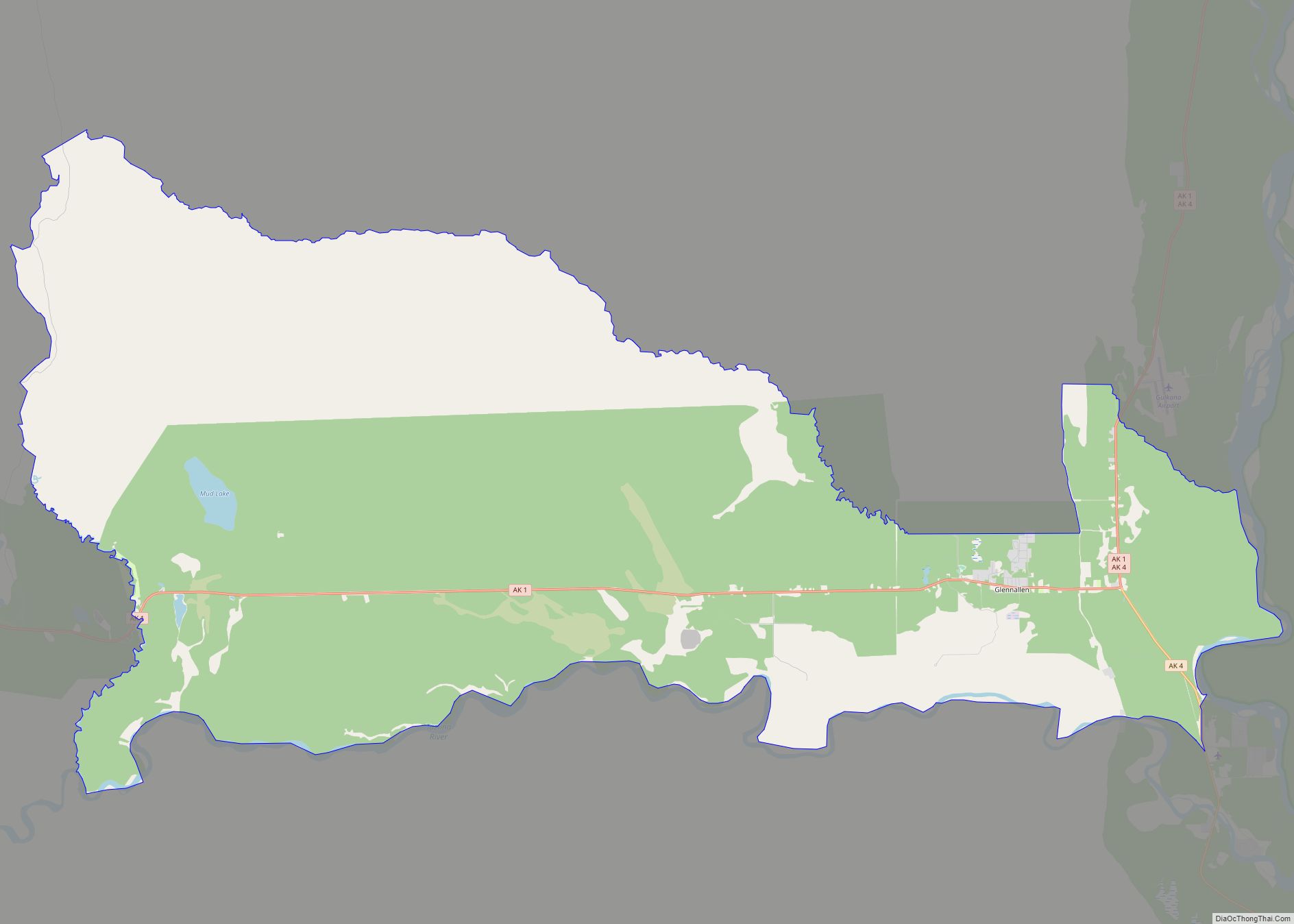
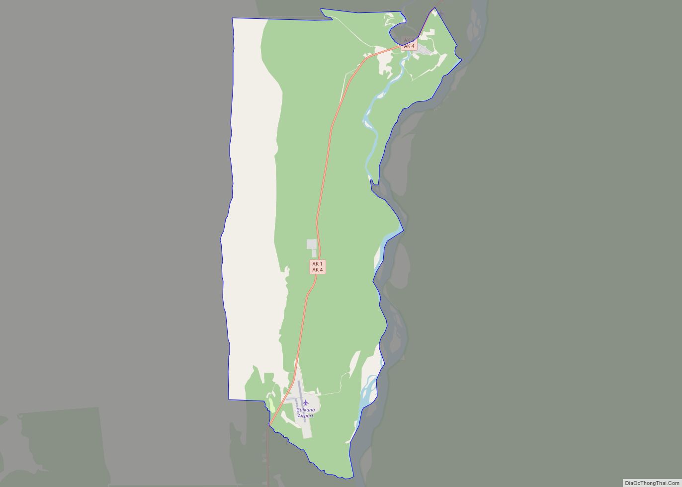
| County: | Valdez-Cordova Census Area |
| Elevation: | 1,401 ft (427 m) |
| Total Area: | 149.47 sq mi (387.14 km²) |
| Land Area: | 149.47 sq mi (387.14 km²) |
| Water Area: | 0.00 sq mi (0.00 km²) |
| Total Population: | 107 |
| Population Density: | 0.72/sq mi (0.28/km²) |
| Area code: | 907 |
| FIPS code: | 0245790 |
| GNISfeature ID: | 1406098 |
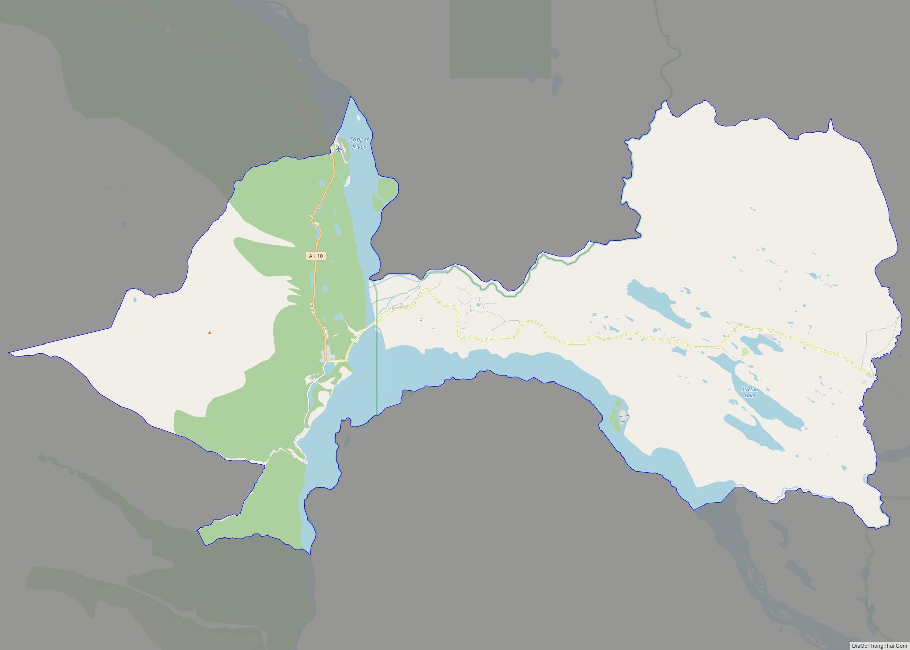
Online Interactive Map
Click on ![]() to view map in "full screen" mode.
to view map in "full screen" mode.
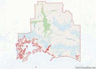
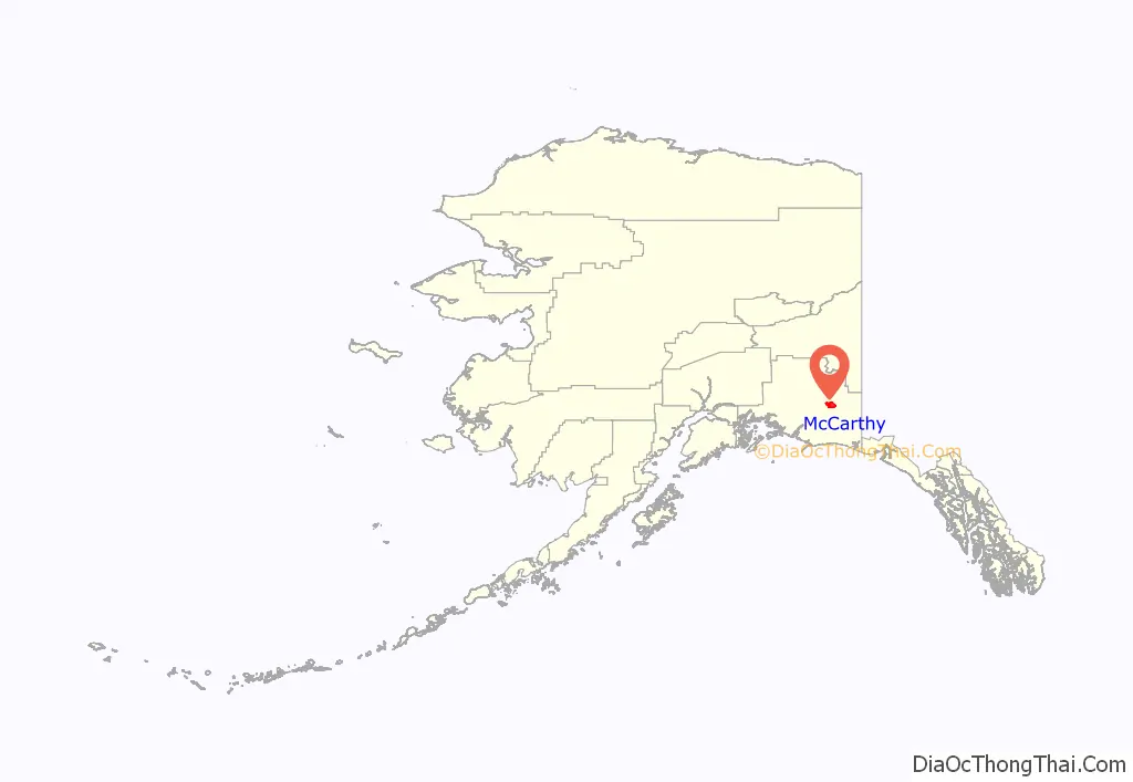
McCarthy location map. Where is McCarthy CDP?
History
For centuries, Athabascans hunted in the area of McCarthy. Chief Nikolai and his band of Athabaskan Natives had a summer camp at Dan Creek, 15 miles east of McCarthy, where they collected copper nuggets from Dan Creek. Their permanent camp was on the Copper River at the village of Taral near Chitina where they fished for salmon.
Copper was discovered between the Kennicott Glacier and McCarthy Creek in 1900, after which Kennicott Mine, Kennecott Mining Company, and company town of Kennecott were created. Due to a clerical error, the corporation and town used the spelling of Kennecott instead of Kennicott, named for Kennicott Glacier in the valley below the town. The glacier was named after Robert Kennicott, a naturalist who explored in Alaska in the mid-1800s.
Partly because alcoholic beverages and prostitution were forbidden in Kennecott, McCarthy grew as an area to provide illicit services not available in the company town. It grew quickly into a major town with a gymnasium, a hospital, a school, a bar and a brothel. The Copper River and Northwestern Railway reached McCarthy in 1911.
In 1938, the copper deposits were mostly gone and the town was mostly abandoned. The railroad discontinued service that year. Over its 30-year operation, U.S. $200 million in ore was extracted from the mine, making it the richest concentration of copper ore in the world.
The population of McCarthy and Kennecott fell to almost zero until the 1970s, when the area began to draw young people from the many who came to Alaska in the ’70s for adventure and the big money of the Trans Alaska Pipeline project. In the ’80s, after the area was designated Wrangell-St. Elias National Park (1980), it began to draw some adventurous tourists to the new national park. The few people that lived there began to provide a variety of tourist services. There has always been at least one family living in the McCarthy area since 1953.
The old mine buildings, artifacts, and colorful history attract visitors during the summer months. The Kennecott and McCarthy area ranks as one of the United States’ most endangered landmarks by the National Trust for Historic Places. Emergency stabilization of the old buildings has been done and more will be required.
In 2014, the TV show Edge of Alaska premiered on Discovery Channel. The show has caused controversy though, as many town residents feel the town is portrayed in a bad light due to the troublesome incidents that have occurred there.
1983 shooting
In an attempt to disrupt the Alaska pipeline, 39-year-old Louis D. Hastings, armed with a .223-caliber Ruger Mini-14 semi-automatic rifle, murdered six of the 22 citizens of McCarthy on March 1, 1983. The victims were Maxine Edwards, Harley King, Les and Flo Hegland, Tim Nash and Amy Lou Ashenden Nash. He also wounded two people. In July 1984, Hastings was sentenced to 634 years in prison.
This case, and the town of McCarthy, were showcased on the Discovery Channel’s Alaska Ice Cold Killers episode “Frozen Terror”.
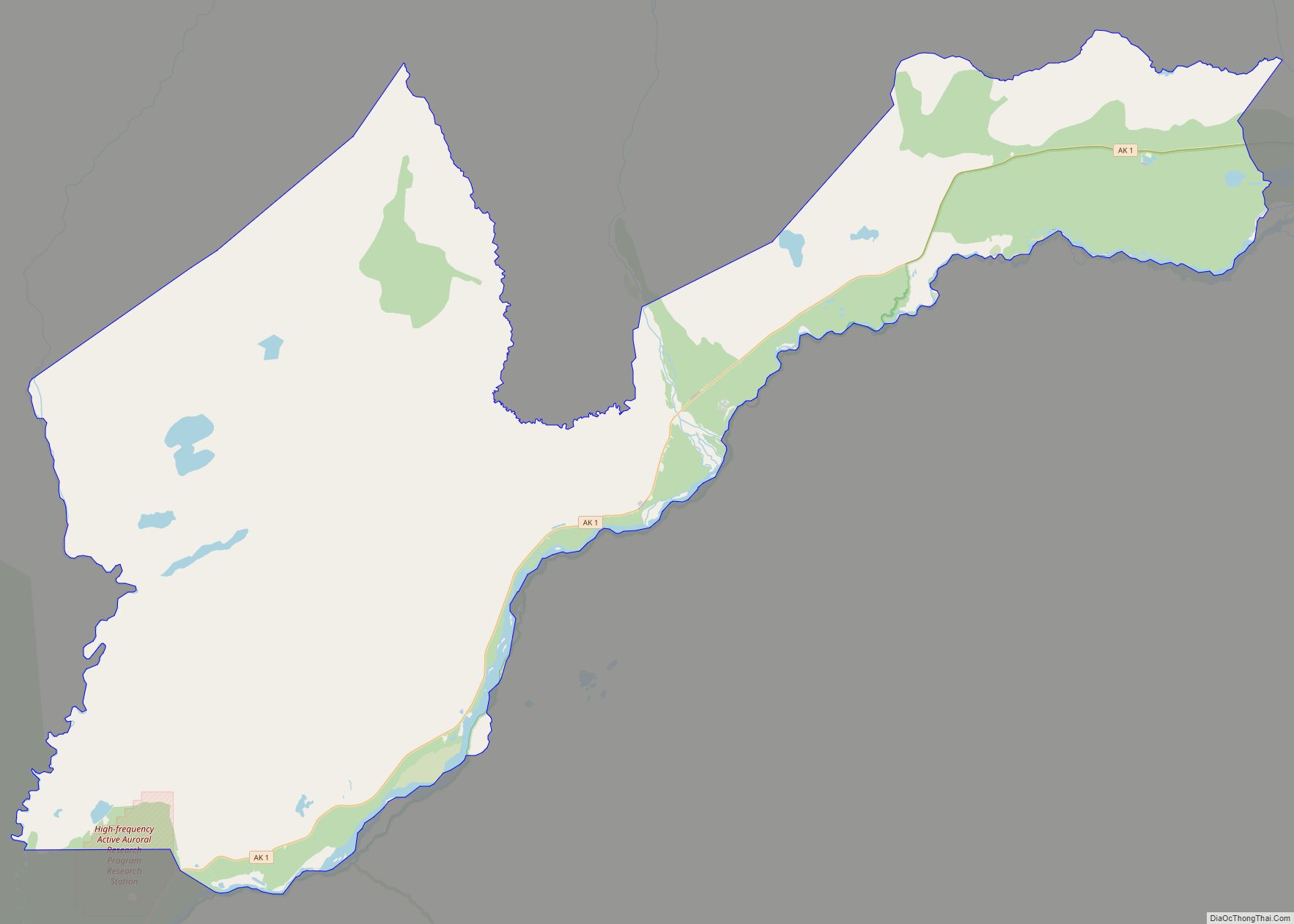
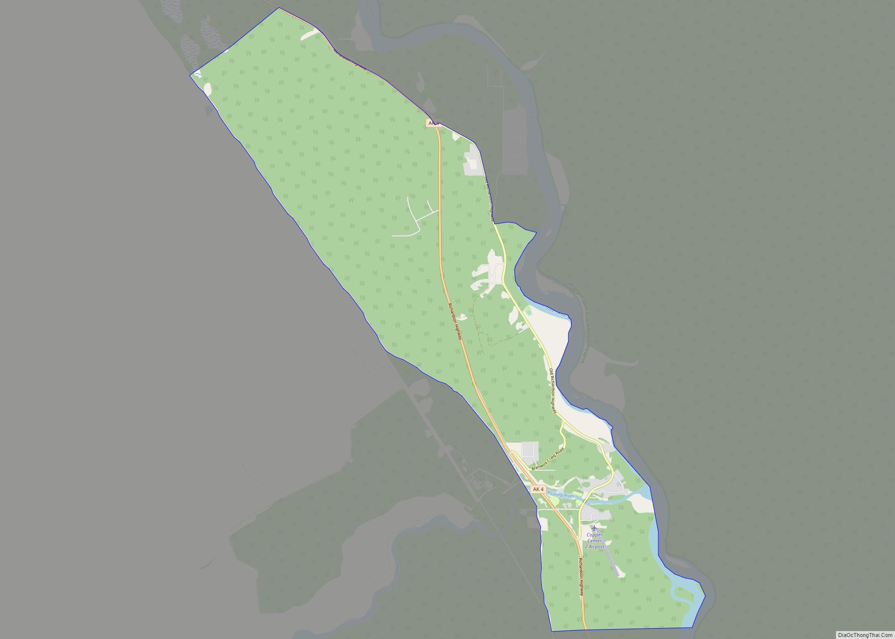
McCarthy Road Map
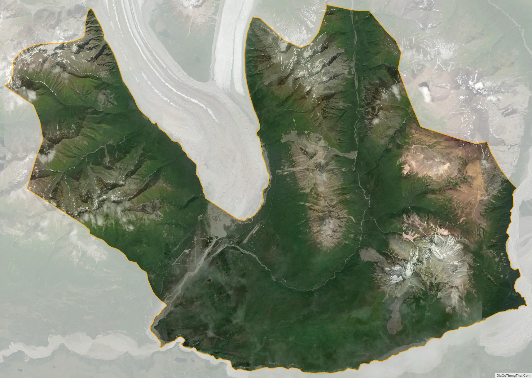
McCarthy city Satellite Map
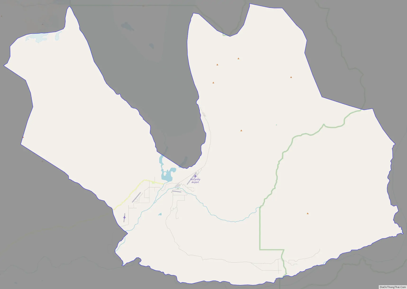
Geography
McCarthy is 120 mi (190 km) northeast of Cordova at the foot of the Wrangell Mountains. According to the United States Census Bureau, the CDP of McCarthy has a total area of 148.3 square miles (384 km). None of the area is covered with water. It is connected to the outside world via the McCarthy Road spur of the Edgerton Highway from Chitina, and must be passed through to reach Kennecott, which is also within the McCarthy CDP. Historically, from the end of the road one had to cross the Kennecott River and then a smaller stream using manually propelled ropeways, but a footbridge was built in 1997. Visitors can walk to McCarthy in about 15 minutes, although shuttle vans and buses are available during the tourist season from the bridge to both McCarthy and Kennecott. A private service bridge for vehicle traffic was constructed in 2004 downstream from the footbridge, but use is only available to residents, businesses, and the National Park Service for an annual fee.
See also
Map of Alaska State and its subdivision:- Aleutians East
- Aleutians West
- Anchorage
- Bethel
- Bristol Bay
- Denali
- Dillingham
- Fairbanks North Star
- Haines
- Juneau
- Kenai Peninsula
- Ketchikan Gateway
- Kodiak Island
- Lake and Peninsula
- Matanuska-Susitna
- Nome
- North Slope
- Northwest Arctic
- Prince of Wales-Outer Ketchi
- Sitka
- Skagway-Yakutat-Angoon
- Southeast Fairbanks
- Valdez-Cordova
- Wade Hampton
- Wrangell-Petersburg
- Yukon-Koyukuk
- Alabama
- Alaska
- Arizona
- Arkansas
- California
- Colorado
- Connecticut
- Delaware
- District of Columbia
- Florida
- Georgia
- Hawaii
- Idaho
- Illinois
- Indiana
- Iowa
- Kansas
- Kentucky
- Louisiana
- Maine
- Maryland
- Massachusetts
- Michigan
- Minnesota
- Mississippi
- Missouri
- Montana
- Nebraska
- Nevada
- New Hampshire
- New Jersey
- New Mexico
- New York
- North Carolina
- North Dakota
- Ohio
- Oklahoma
- Oregon
- Pennsylvania
- Rhode Island
- South Carolina
- South Dakota
- Tennessee
- Texas
- Utah
- Vermont
- Virginia
- Washington
- West Virginia
- Wisconsin
- Wyoming