Nabesna (Nabaesna’ in Ahtna; Naambia Niign Daacheeg in Upper Tanana) is a census-designated place and unincorporated community in northern Copper River Census Area, Alaska, United States, in the northern part of the Wrangell-St. Elias National Park and Preserve. It lies along the Nabesna Road, a gravel road that connects it to the Tok Cut-Off at Slana. Its elevation is 2,979 feet (908 m). Founded by and named for the Nabesna Mining Company, the community received a post office in 1909. Located at the base of White Mountain in the Wrangell Mountains, it lies west of the Nabesna River. According to the 2020 census, there were two people residing at this location.
Gold was discovered at White Mountain in 1891, and the site was first developed in the early 20th century. Through the efforts of Carl Whitham, the Nabesna Mining Company was formed in 1929, resulting in an expansion of the camp and the construction of Nabesna Road. The mine was closed during World War II, and only briefly reopened afterward, closing permanently after Whitham died in 1947. The location was used as a secret supply cache by the United States Army during the Cold War. The mine produced 2.5 short tons (2.3 t) of gold during its active period, as well as many tons of silver, copper, and lead.
The old mining camp, now a ghost town, and the mine were listed as the Nabesna Gold Mine Historic District on the National Register of Historic Places in 1979.
| Name: | Nabesna CDP |
|---|---|
| LSAD Code: | 57 |
| LSAD Description: | CDP (suffix) |
| State: | Alaska |
| County: | Valdez-Cordova Census Area |
| Elevation: | 2,979 ft (908 m) |
| Total Area: | 160.82 sq mi (416.51 km²) |
| Land Area: | 160.26 sq mi (415.06 km²) |
| Water Area: | 0.56 sq mi (1.45 km²) |
| Total Population: | 2 |
| Population Density: | 0.01/sq mi (0.00/km²) |
| FIPS code: | 0251960 |
| GNISfeature ID: | 1406770 |
Online Interactive Map
Click on ![]() to view map in "full screen" mode.
to view map in "full screen" mode.
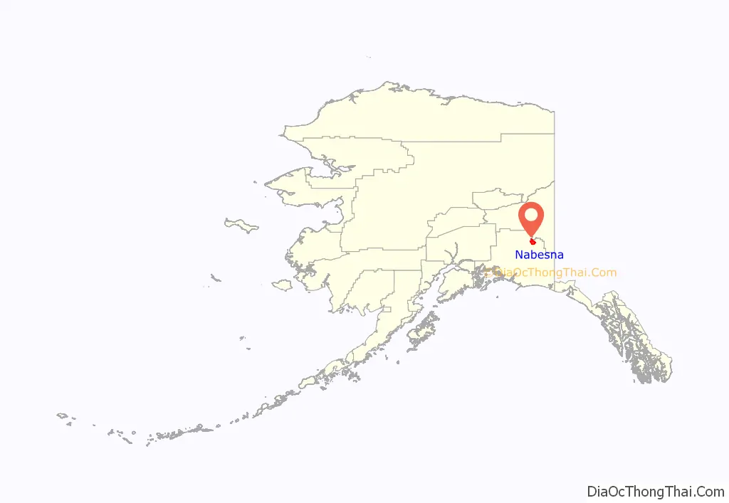
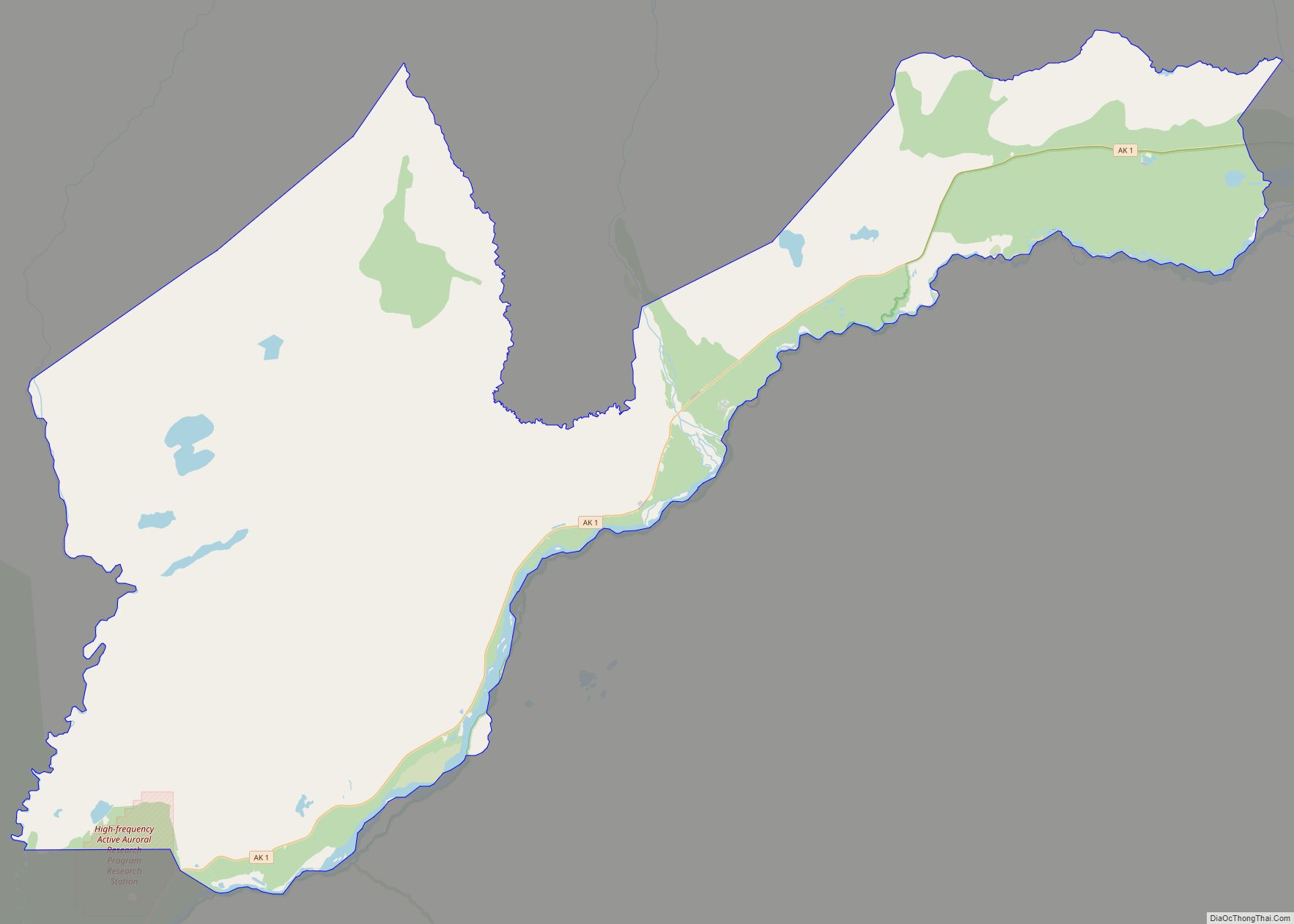
Nabesna location map. Where is Nabesna CDP?
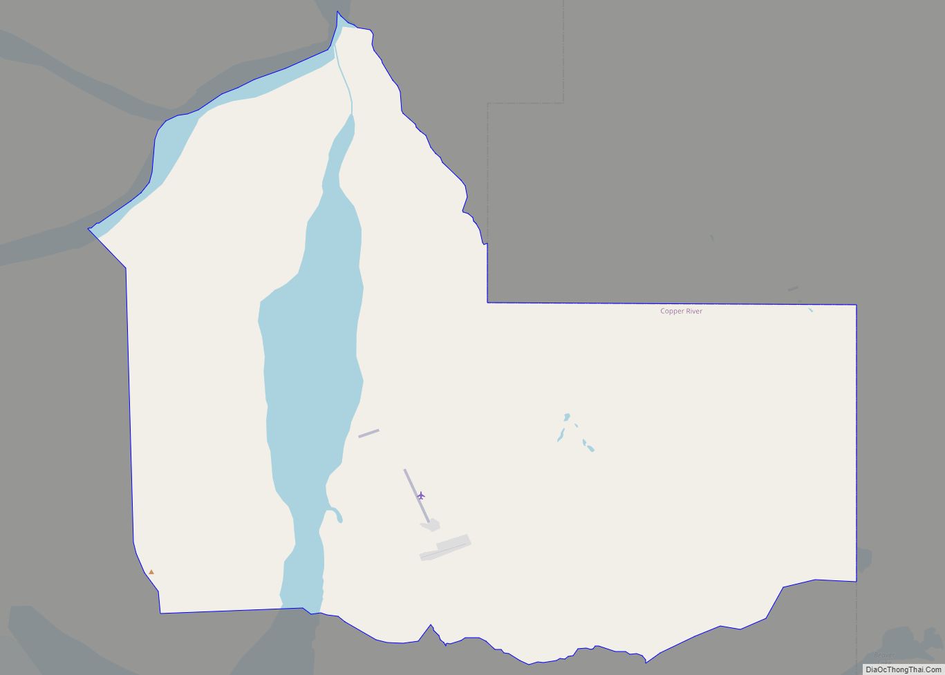
Nabesna Road Map
Nabesna city Satellite Map
See also
Map of Alaska State and its subdivision:- Aleutians East
- Aleutians West
- Anchorage
- Bethel
- Bristol Bay
- Denali
- Dillingham
- Fairbanks North Star
- Haines
- Juneau
- Kenai Peninsula
- Ketchikan Gateway
- Kodiak Island
- Lake and Peninsula
- Matanuska-Susitna
- Nome
- North Slope
- Northwest Arctic
- Prince of Wales-Outer Ketchi
- Sitka
- Skagway-Yakutat-Angoon
- Southeast Fairbanks
- Valdez-Cordova
- Wade Hampton
- Wrangell-Petersburg
- Yukon-Koyukuk
- Alabama
- Alaska
- Arizona
- Arkansas
- California
- Colorado
- Connecticut
- Delaware
- District of Columbia
- Florida
- Georgia
- Hawaii
- Idaho
- Illinois
- Indiana
- Iowa
- Kansas
- Kentucky
- Louisiana
- Maine
- Maryland
- Massachusetts
- Michigan
- Minnesota
- Mississippi
- Missouri
- Montana
- Nebraska
- Nevada
- New Hampshire
- New Jersey
- New Mexico
- New York
- North Carolina
- North Dakota
- Ohio
- Oklahoma
- Oregon
- Pennsylvania
- Rhode Island
- South Carolina
- South Dakota
- Tennessee
- Texas
- Utah
- Vermont
- Virginia
- Washington
- West Virginia
- Wisconsin
- Wyoming
