Nelson Lagoon (Unangax̂: Niilsanam Alĝuudaa) is a census-designated place (CDP) in Aleutians East Borough, Alaska, United States. At the 2020 census the population was 41, down from 52 in 2010 and 83 in 2000.
Nelson Lagoon was established around 1960 and is the youngest of the Borough communities. It is the only Aleut settlement on the Bering Sea shore. The community is on the northern coast of the Alaska Peninsula and sits on a narrow sand spit that separates the lagoon from the Bering Sea. Nelson Lagoon is in the middle of a rich and productive salmon fisheries area. The community’s dock, boat ramp, harbormaster’s office and warehouse were completed in the late 1990s. Nelson Lagoon has excellent docking facilities as well as boat and gear storage. A state-owned 4,000-foot-long lighted gravel runway allows regularly scheduled flights.
In March, 2016, Nelson Lagoon was coated with tephra, during a strong eruption of nearby Mount Pavlof.
| Name: | Nelson Lagoon CDP |
|---|---|
| LSAD Code: | 57 |
| LSAD Description: | CDP (suffix) |
| State: | Alaska |
| County: | Aleutians East Borough |
| Total Area: | 246.98 sq mi (639.67 km²) |
| Land Area: | 188.10 sq mi (487.18 km²) |
| Water Area: | 58.88 sq mi (152.49 km²) |
| Total Population: | 41 |
| Population Density: | 0.22/sq mi (0.08/km²) |
| Area code: | 907 |
| FIPS code: | 0252940 |
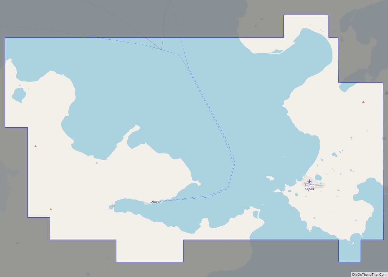
Online Interactive Map
Click on ![]() to view map in "full screen" mode.
to view map in "full screen" mode.
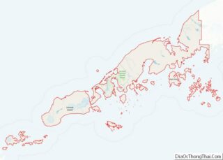
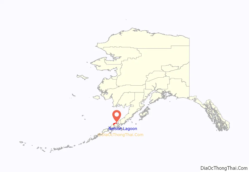
Nelson Lagoon location map. Where is Nelson Lagoon CDP?
History
The location where Nelson Lagoon sits was used as an Aleut summer campsite during the fishing season. In 1882, the lagoon was named for Edward William Nelson, a naturalist and explorer who travelled the region between 1877 and 1920. From 1906 until 1917, a salmon salting facility operated at the location, which was staffed mainly by Scandinavian fishermen. These men married local women, and today most native people in Nelson Bay have partial Scandinavian ancestry.
A permanent settlement was established in 1960. A school was built five years later, and the settlement grew into a larger permanent community.
In 1985, an environmental impact statement by the Minerals Management Service of the United States Department of the Interior was released, producing an in-depth analysis of the Nelson Bay community and its cultural, demographic, religious, political and educational atmosphere as well as predictions. The statement wrote about a well-organized, tight-knit community. The study reported the five-member Nelson Bay village council was formed in 1971, still consisted of all its original members, met often, and was competent and unified in its representation of the community. Unlike other villages, in Nelson Bay, politics were a familial affair; village councils represented the three main families in the village.
The environmental impact statement wrote that culturally and economically, the village was much as it was at the time of its founding: small, relatively undeveloped and very isolated. The village’s younger generations were reported to have developed the unique tendency of brothers of one family marrying sisters of another family, thus requiring future generations to find spouses in other communities.
The Russian Orthodox Church was the village’s dominant religion at the time, but secularization was taking place. Education was highly valued in the Nelson Bay, and the 1985 environmental impact statement wrote this could have been a legacy of the village’s Scandinavian ancestors.
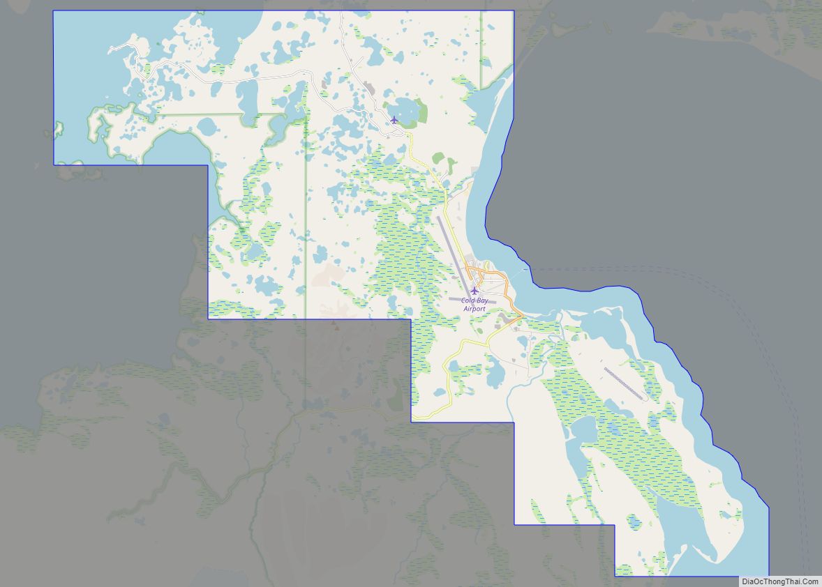
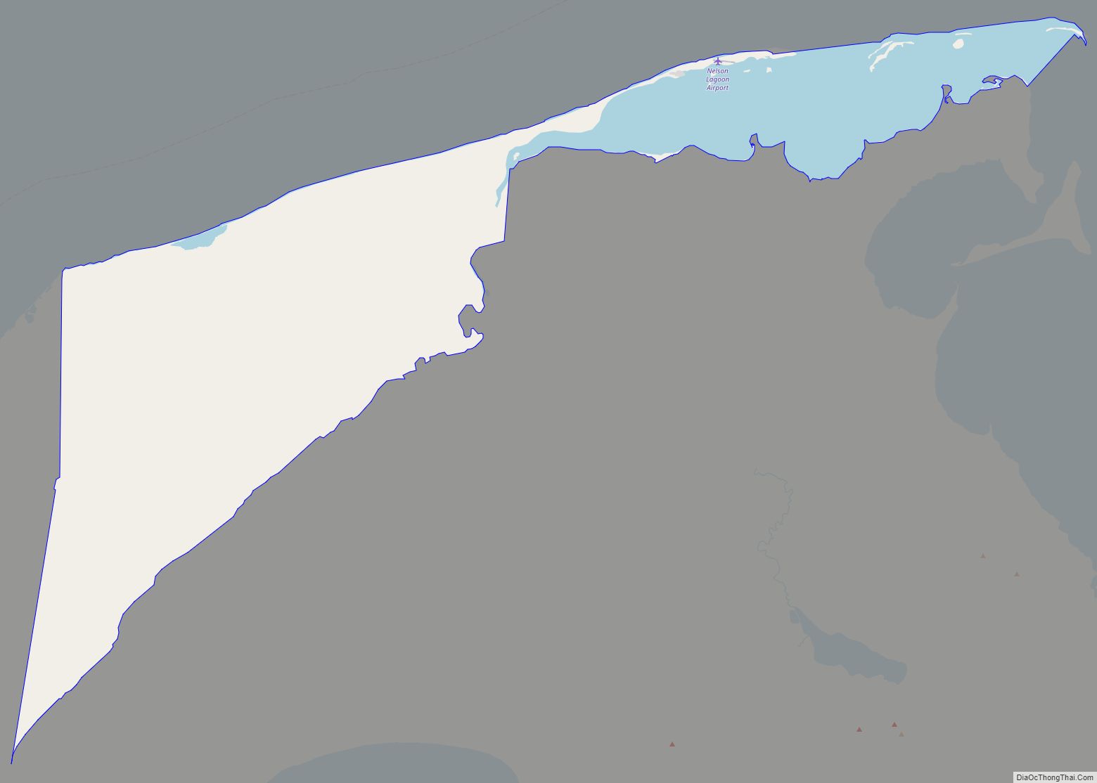
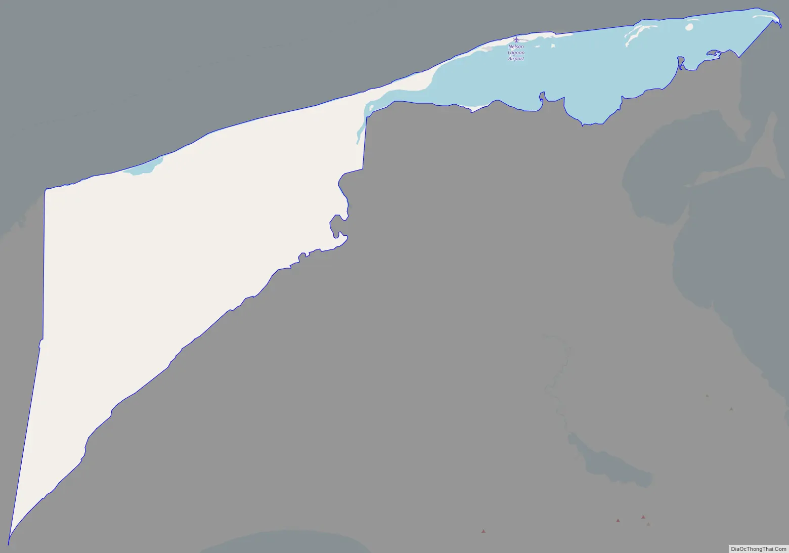
Nelson Lagoon Road Map
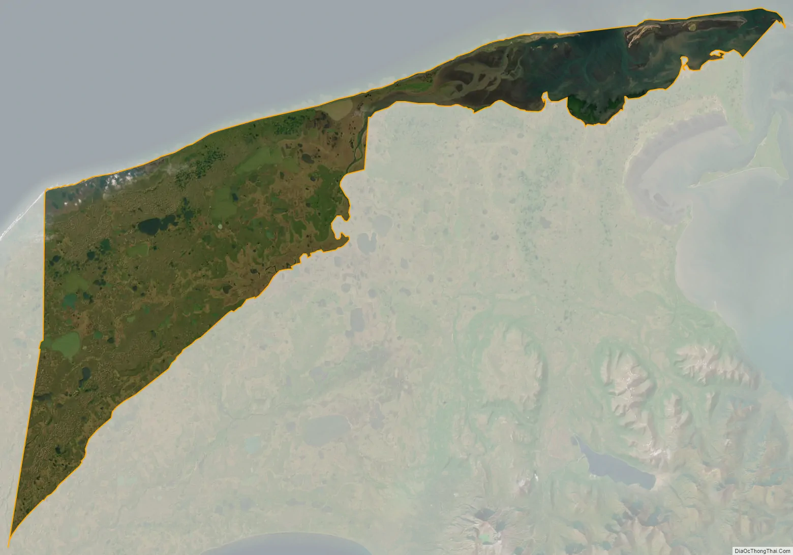
Nelson Lagoon city Satellite Map
Geography
Nelson Lagoon is located at 56°0′2″N 161°12′13″W / 56.00056°N 161.20361°W / 56.00056; -161.20361 (56.000522, -161.203561), located on a narrow sand spit separating the lagoon from the Bering Sea on the northern coast of the Alaska Peninsula.
According to the U.S. Census Bureau, the CDP has a total area of 196.6 square miles (509 km), of which, 135.3 square miles (350 km) of it is land and 61.4 square miles (159 km) of it (31.22%) is water.
See also
Map of Alaska State and its subdivision:- Aleutians East
- Aleutians West
- Anchorage
- Bethel
- Bristol Bay
- Denali
- Dillingham
- Fairbanks North Star
- Haines
- Juneau
- Kenai Peninsula
- Ketchikan Gateway
- Kodiak Island
- Lake and Peninsula
- Matanuska-Susitna
- Nome
- North Slope
- Northwest Arctic
- Prince of Wales-Outer Ketchi
- Sitka
- Skagway-Yakutat-Angoon
- Southeast Fairbanks
- Valdez-Cordova
- Wade Hampton
- Wrangell-Petersburg
- Yukon-Koyukuk
- Alabama
- Alaska
- Arizona
- Arkansas
- California
- Colorado
- Connecticut
- Delaware
- District of Columbia
- Florida
- Georgia
- Hawaii
- Idaho
- Illinois
- Indiana
- Iowa
- Kansas
- Kentucky
- Louisiana
- Maine
- Maryland
- Massachusetts
- Michigan
- Minnesota
- Mississippi
- Missouri
- Montana
- Nebraska
- Nevada
- New Hampshire
- New Jersey
- New Mexico
- New York
- North Carolina
- North Dakota
- Ohio
- Oklahoma
- Oregon
- Pennsylvania
- Rhode Island
- South Carolina
- South Dakota
- Tennessee
- Texas
- Utah
- Vermont
- Virginia
- Washington
- West Virginia
- Wisconsin
- Wyoming