Old Harbor (Alutiiq: Nuniaq; Russian: Старая Гавань) is a city in Kodiak Island Borough, Alaska, United States. At the 2010 census the population was 218, down from 237 in 2000.
| Name: | Old Harbor city |
|---|---|
| LSAD Code: | 25 |
| LSAD Description: | city (suffix) |
| State: | Alaska |
| County: | Kodiak Island Borough |
| Incorporated: | June 3, 1966 |
| Elevation: | 3 ft (1 m) |
| Total Area: | 22.59 sq mi (58.50 km²) |
| Land Area: | 16.19 sq mi (41.93 km²) |
| Water Area: | 6.40 sq mi (16.57 km²) |
| Total Population: | 216 |
| Population Density: | 13.34/sq mi (5.15/km²) |
| ZIP code: | 99643 |
| Area code: | 907 |
| FIPS code: | 0257340 |
| GNISfeature ID: | 1407483 |
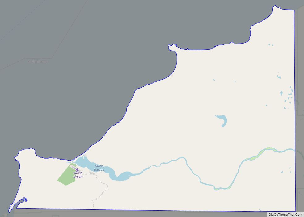
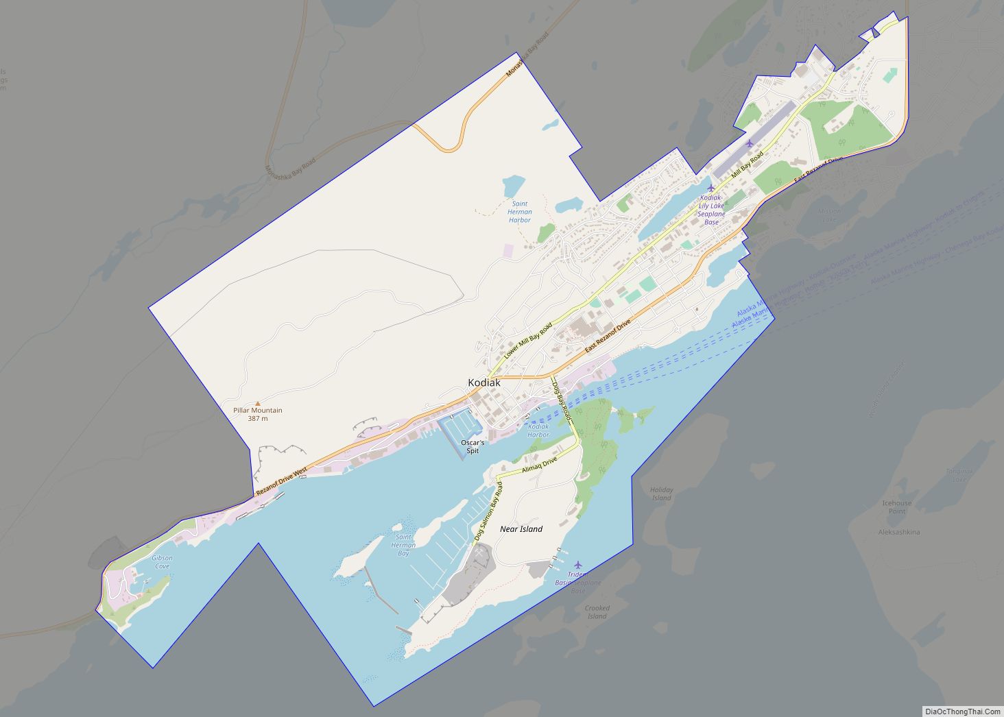
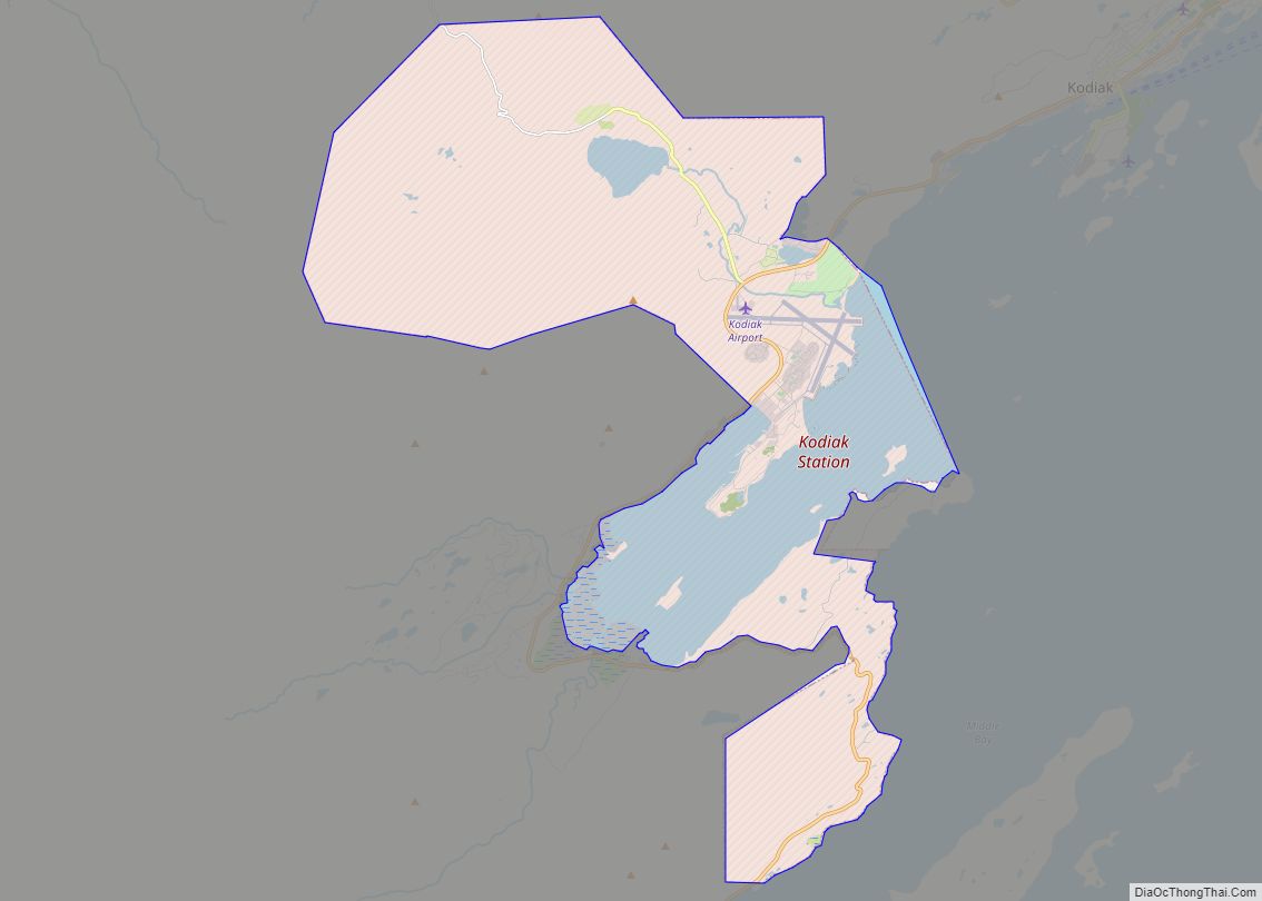
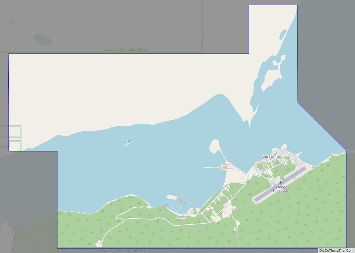
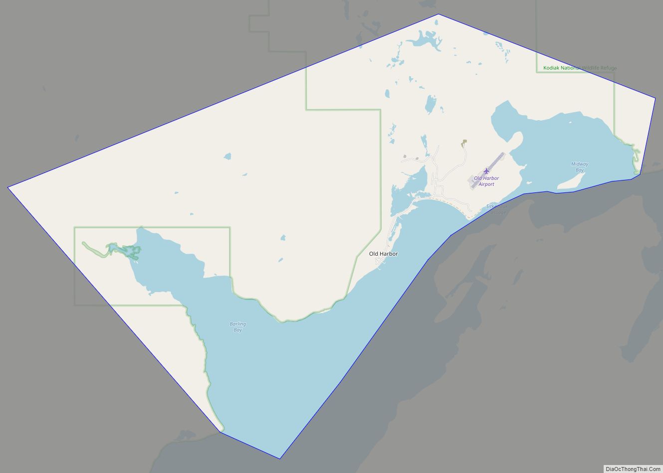
Online Interactive Map
Click on ![]() to view map in "full screen" mode.
to view map in "full screen" mode.
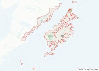
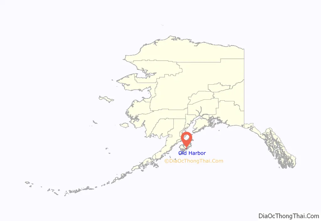
Old Harbor location map. Where is Old Harbor city?
History
The community of Old Harbor has its origins in the era of Russian conquest. On August 14, 1784, Grigory Shelikhov with 130 Russian fur traders massacred (see Awa’uq Massacre) several hundred Qik’rtarmiut Sugpiat tribe of Alutiiq men, women and children at Refuge Rock, a tiny stack island off the eastern coast of Sitkalidak Island. In Alutiiq, this sacred place is known as Awa’uq (“to become numb”).
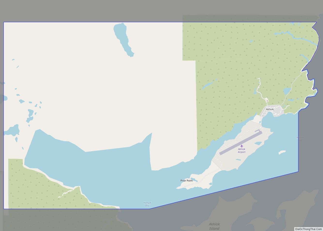
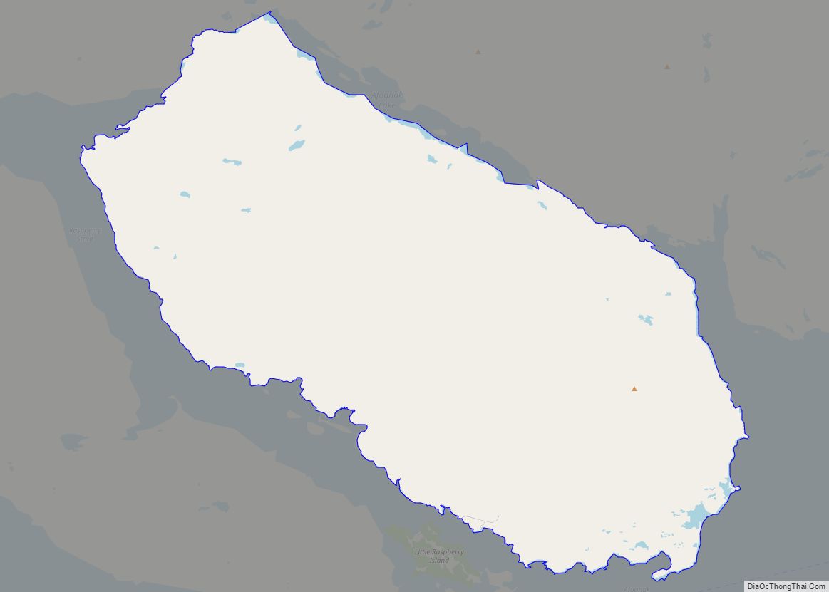
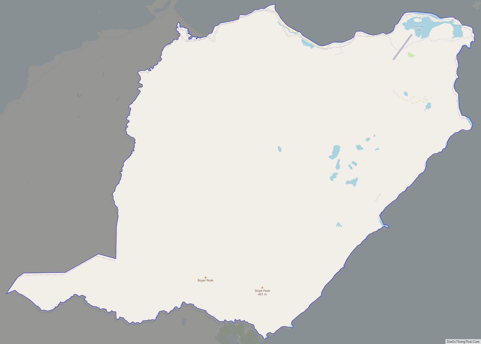
Old Harbor Road Map
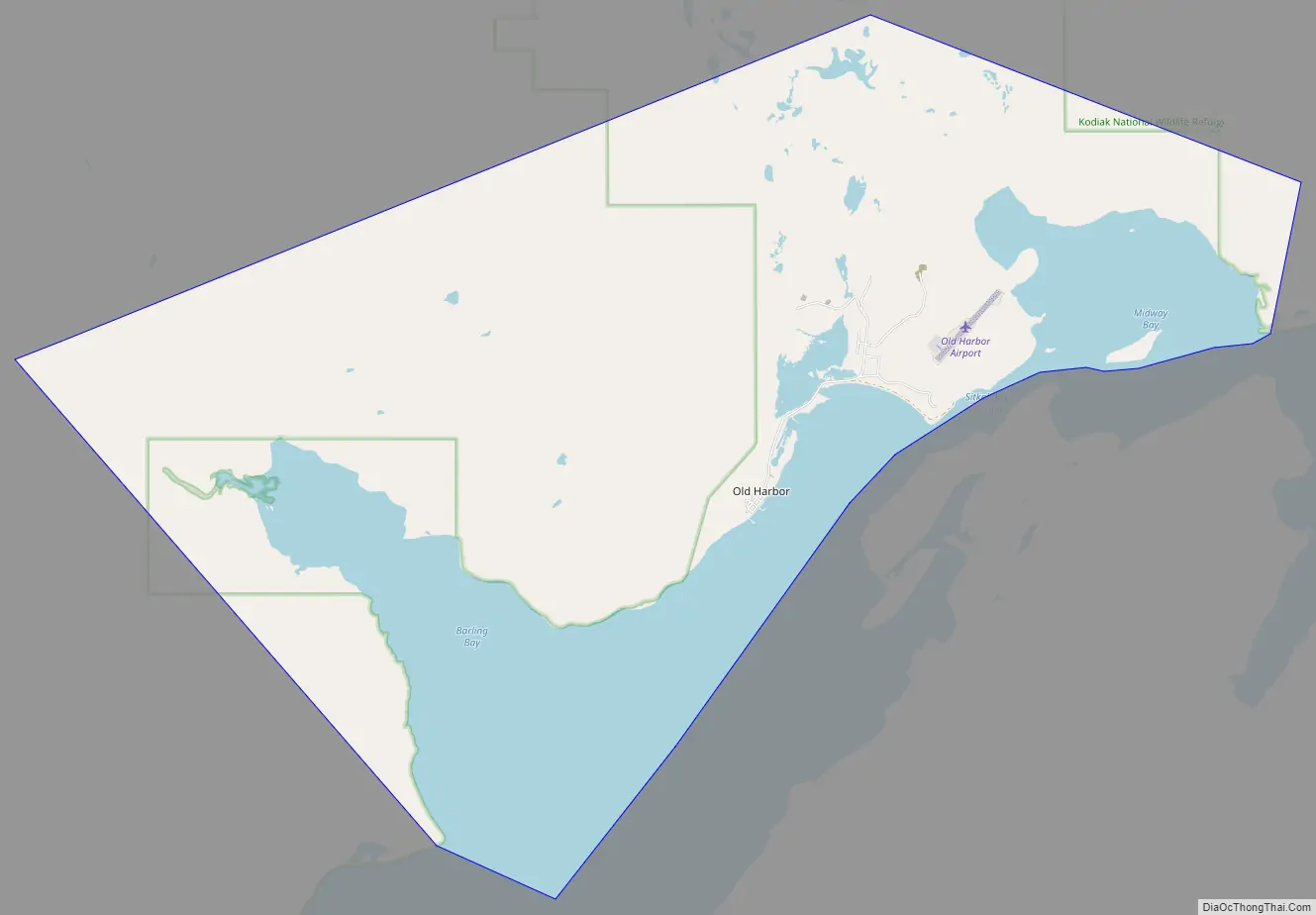
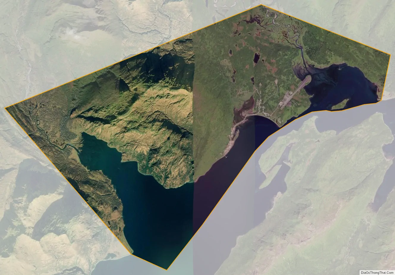
Old Harbor city Satellite Map
Geography
According to the United States Census Bureau, the city has a total area of 26.5 square miles (68.7 km), of which 20.5 square miles (53.2 km) is land and 6.0 square miles (15.5 km), or 22.59%, is water.
See also
Map of Alaska State and its subdivision:- Aleutians East
- Aleutians West
- Anchorage
- Bethel
- Bristol Bay
- Denali
- Dillingham
- Fairbanks North Star
- Haines
- Juneau
- Kenai Peninsula
- Ketchikan Gateway
- Kodiak Island
- Lake and Peninsula
- Matanuska-Susitna
- Nome
- North Slope
- Northwest Arctic
- Prince of Wales-Outer Ketchi
- Sitka
- Skagway-Yakutat-Angoon
- Southeast Fairbanks
- Valdez-Cordova
- Wade Hampton
- Wrangell-Petersburg
- Yukon-Koyukuk
- Alabama
- Alaska
- Arizona
- Arkansas
- California
- Colorado
- Connecticut
- Delaware
- District of Columbia
- Florida
- Georgia
- Hawaii
- Idaho
- Illinois
- Indiana
- Iowa
- Kansas
- Kentucky
- Louisiana
- Maine
- Maryland
- Massachusetts
- Michigan
- Minnesota
- Mississippi
- Missouri
- Montana
- Nebraska
- Nevada
- New Hampshire
- New Jersey
- New Mexico
- New York
- North Carolina
- North Dakota
- Ohio
- Oklahoma
- Oregon
- Pennsylvania
- Rhode Island
- South Carolina
- South Dakota
- Tennessee
- Texas
- Utah
- Vermont
- Virginia
- Washington
- West Virginia
- Wisconsin
- Wyoming