Paxson is a census-designated place (CDP) in Copper River Census Area, Alaska, United States. As of the 2020 census, its population was 26, down from 40 in 2010. It is located on the Richardson Highway at the junction with the Denali Highway.
Currently, there are five accommodations in Paxson, as well as several gift shops, a post office, a gas station and food shops. The activity of the locality is turned to tourism in summer, and by hunting and livelihood activities for permanent residents.
| Name: | Paxson CDP |
|---|---|
| LSAD Code: | 57 |
| LSAD Description: | CDP (suffix) |
| State: | Alaska |
| County: | Valdez-Cordova Census Area |
| Elevation: | 3,396 ft (1,035 m) |
| Total Area: | 319.14 sq mi (826.57 km²) |
| Land Area: | 304.96 sq mi (789.85 km²) |
| Water Area: | 14.18 sq mi (36.72 km²) |
| Total Population: | 26 |
| Population Density: | 0.09/sq mi (0.03/km²) |
| Area code: | 907 |
| FIPS code: | 0259320 |
| GNISfeature ID: | 1866966 |
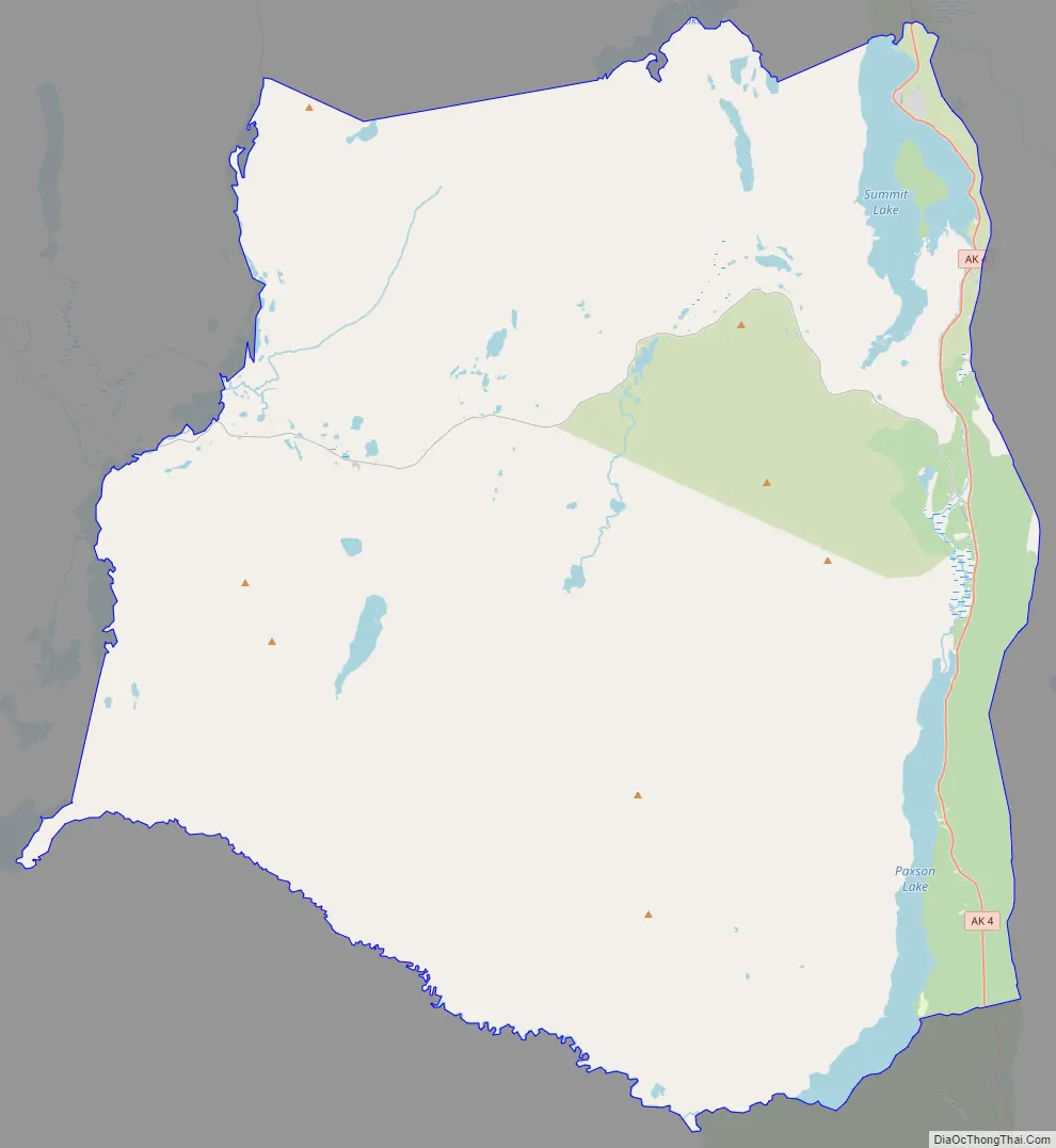
Online Interactive Map
Click on ![]() to view map in "full screen" mode.
to view map in "full screen" mode.
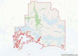
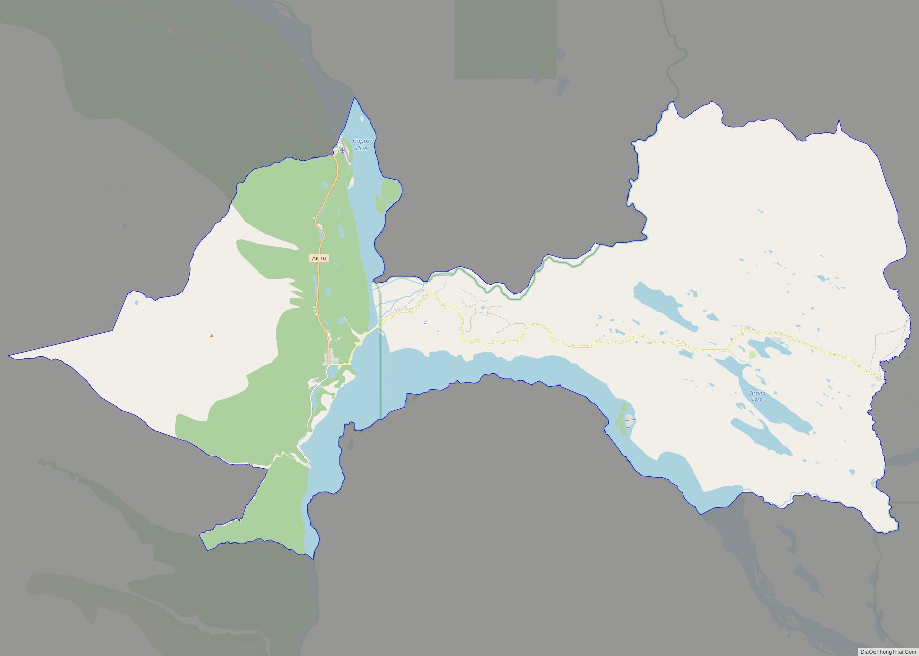
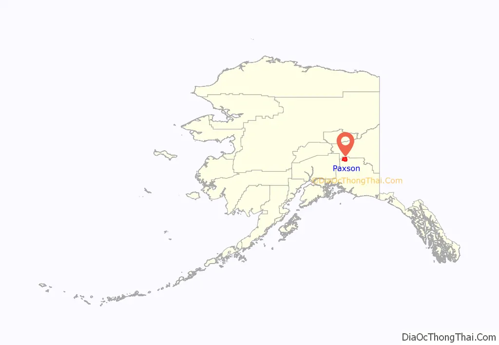
Paxson location map. Where is Paxson CDP?
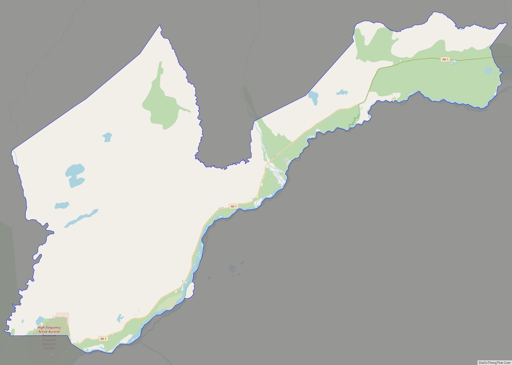
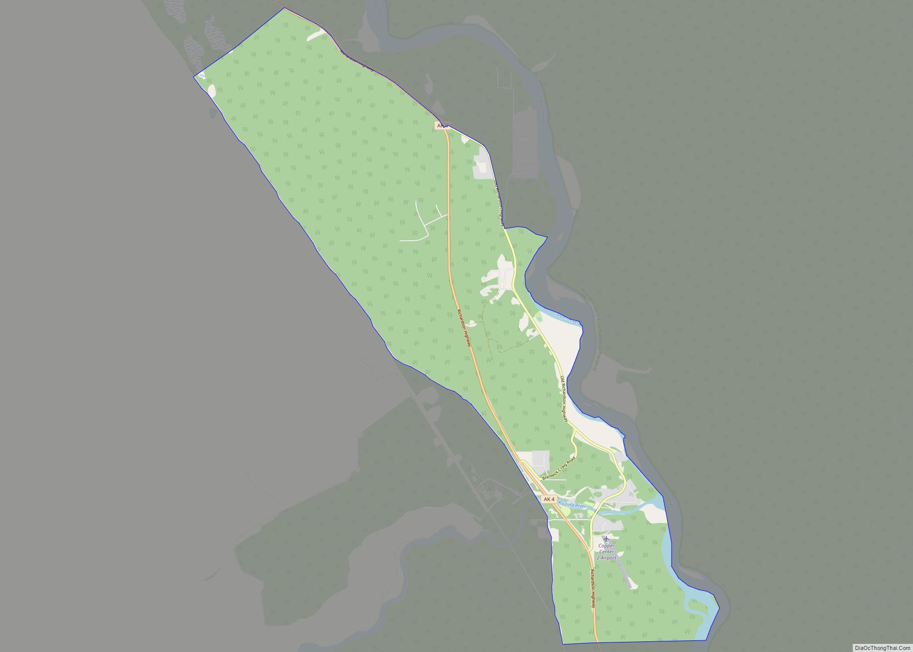
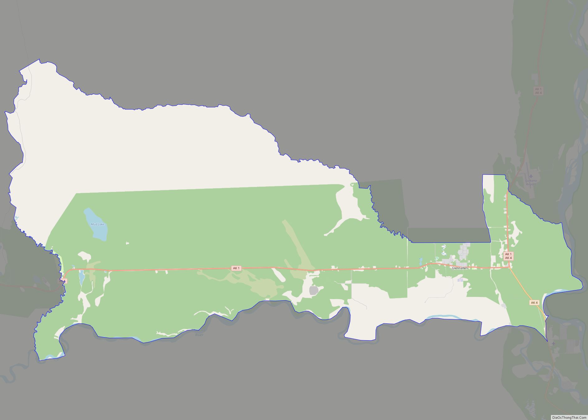
Paxson Road Map
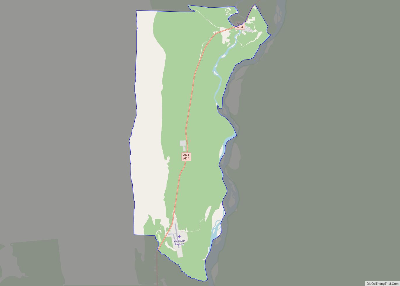
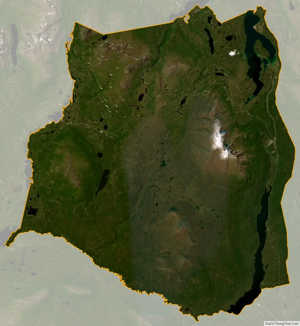
Paxson city Satellite Map
Geography
Paxson is located at 63°2′43″N 145°36′51″W / 63.04528°N 145.61417°W / 63.04528; -145.61417 (63.045307, −145.614117). The two highways which converge there come through two nearby mountain passes, Isabel Pass and Mentasta Pass.
According to the United States Census Bureau, the CDP has a total area of 318.3 square miles (824 km), of which, 304.0 square miles (787 km) of it is land and 14.3 square miles (37 km) of it (4.48%) is water.
See also
Map of Alaska State and its subdivision:- Aleutians East
- Aleutians West
- Anchorage
- Bethel
- Bristol Bay
- Denali
- Dillingham
- Fairbanks North Star
- Haines
- Juneau
- Kenai Peninsula
- Ketchikan Gateway
- Kodiak Island
- Lake and Peninsula
- Matanuska-Susitna
- Nome
- North Slope
- Northwest Arctic
- Prince of Wales-Outer Ketchi
- Sitka
- Skagway-Yakutat-Angoon
- Southeast Fairbanks
- Valdez-Cordova
- Wade Hampton
- Wrangell-Petersburg
- Yukon-Koyukuk
- Alabama
- Alaska
- Arizona
- Arkansas
- California
- Colorado
- Connecticut
- Delaware
- District of Columbia
- Florida
- Georgia
- Hawaii
- Idaho
- Illinois
- Indiana
- Iowa
- Kansas
- Kentucky
- Louisiana
- Maine
- Maryland
- Massachusetts
- Michigan
- Minnesota
- Mississippi
- Missouri
- Montana
- Nebraska
- Nevada
- New Hampshire
- New Jersey
- New Mexico
- New York
- North Carolina
- North Dakota
- Ohio
- Oklahoma
- Oregon
- Pennsylvania
- Rhode Island
- South Carolina
- South Dakota
- Tennessee
- Texas
- Utah
- Vermont
- Virginia
- Washington
- West Virginia
- Wisconsin
- Wyoming