Port Lions (Masiqsirraq in Alutiiq) is a city located on Kodiak Island in the Kodiak Island Borough of the U.S. state of Alaska. As of the 2010 census, the population of the city was 194, down from 256 in 2000.
Port Lions was built to house the inhabitants of Ag’waneq from the neighboring island of Afognak and Port Wakefield from Raspberry Island, after their villages were destroyed by the Good Friday earthquake in 1964. Port Lions was built with help from the United States government and the Lions Club. It was named in honor of the club.
| Name: | Port Lions city |
|---|---|
| LSAD Code: | 25 |
| LSAD Description: | city (suffix) |
| State: | Alaska |
| County: | Kodiak Island Borough |
| Incorporated: | January 24, 1966 |
| Elevation: | 98 ft (30 m) |
| Total Area: | 8.73 sq mi (22.60 km²) |
| Land Area: | 4.99 sq mi (12.91 km²) |
| Water Area: | 3.74 sq mi (9.69 km²) |
| Total Population: | 170 |
| Population Density: | 34.10/sq mi (13.16/km²) |
| ZIP code: | 99550 |
| Area code: | 907 |
| FIPS code: | 0263610 |
| GNISfeature ID: | 1408218 |
Online Interactive Map
Click on ![]() to view map in "full screen" mode.
to view map in "full screen" mode.
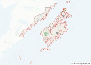
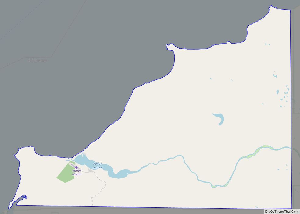
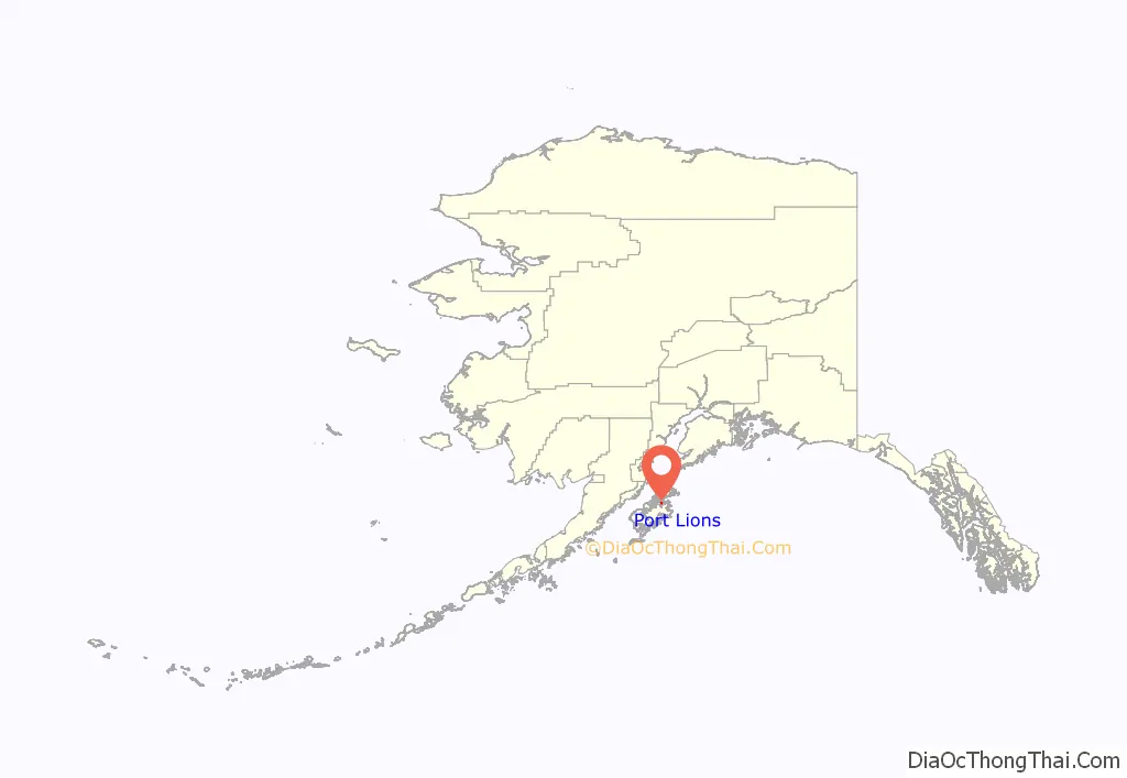
Port Lions location map. Where is Port Lions city?
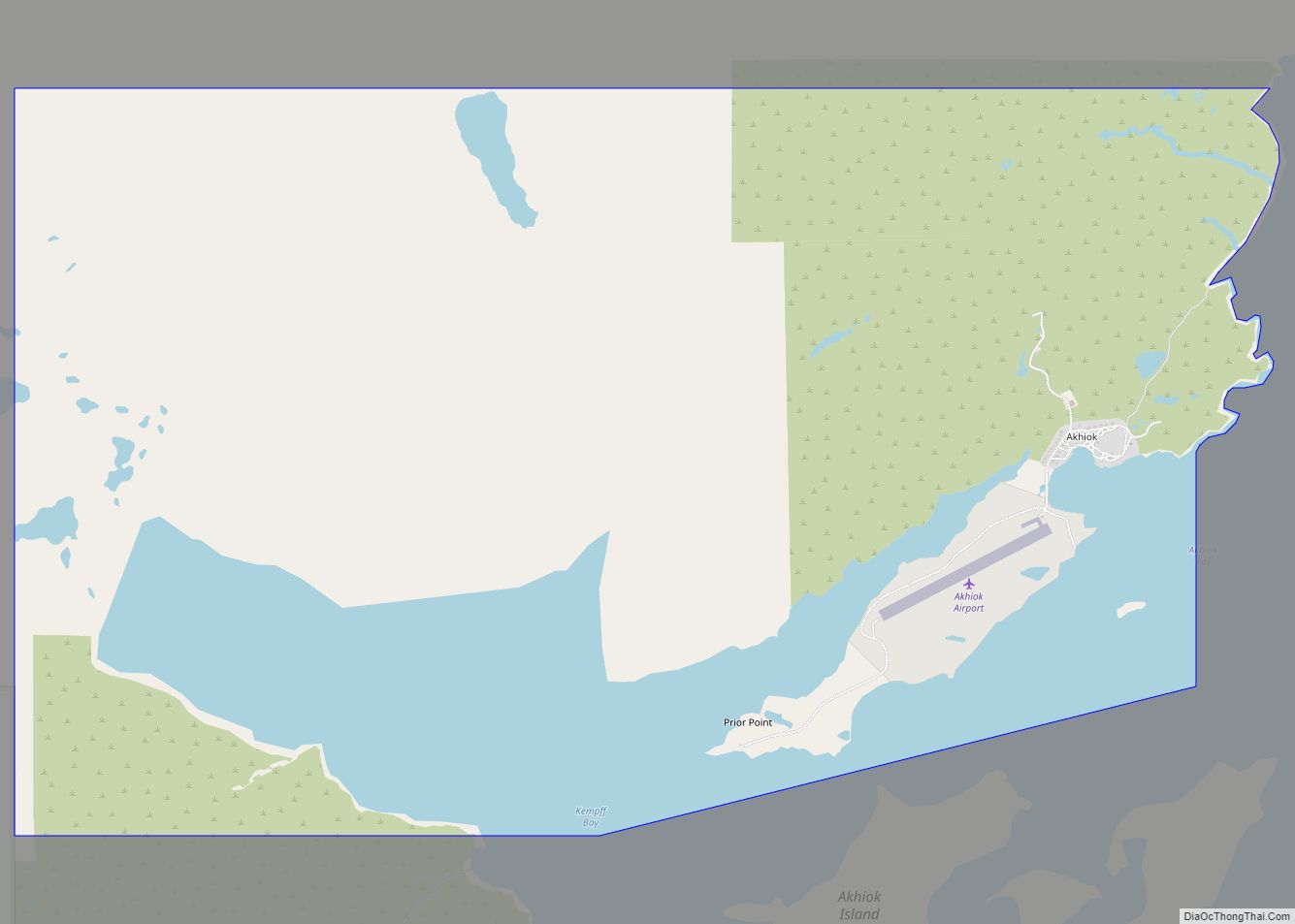
Port Lions Road Map
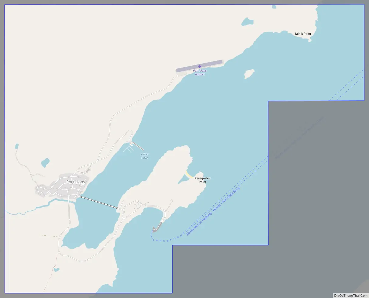
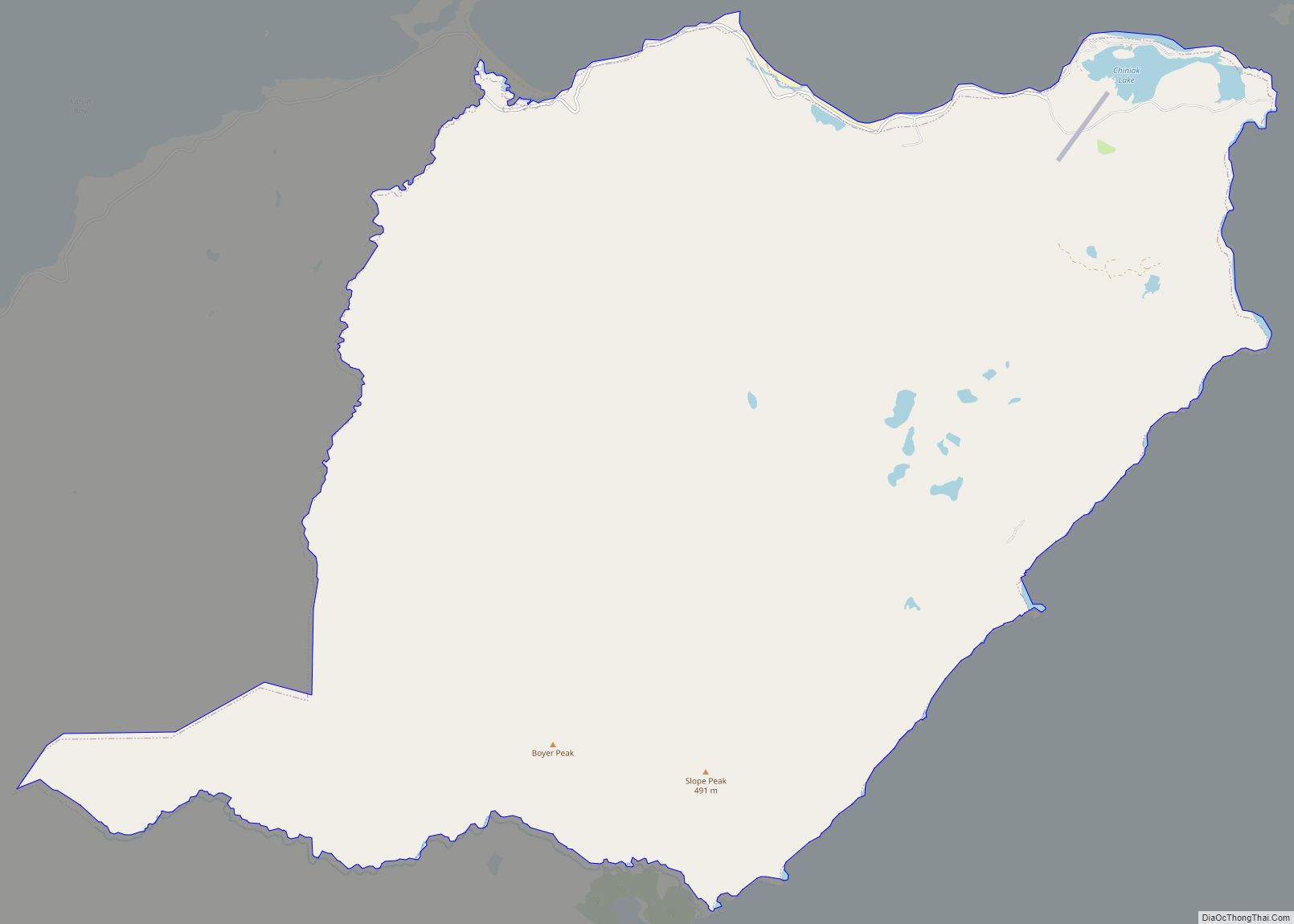
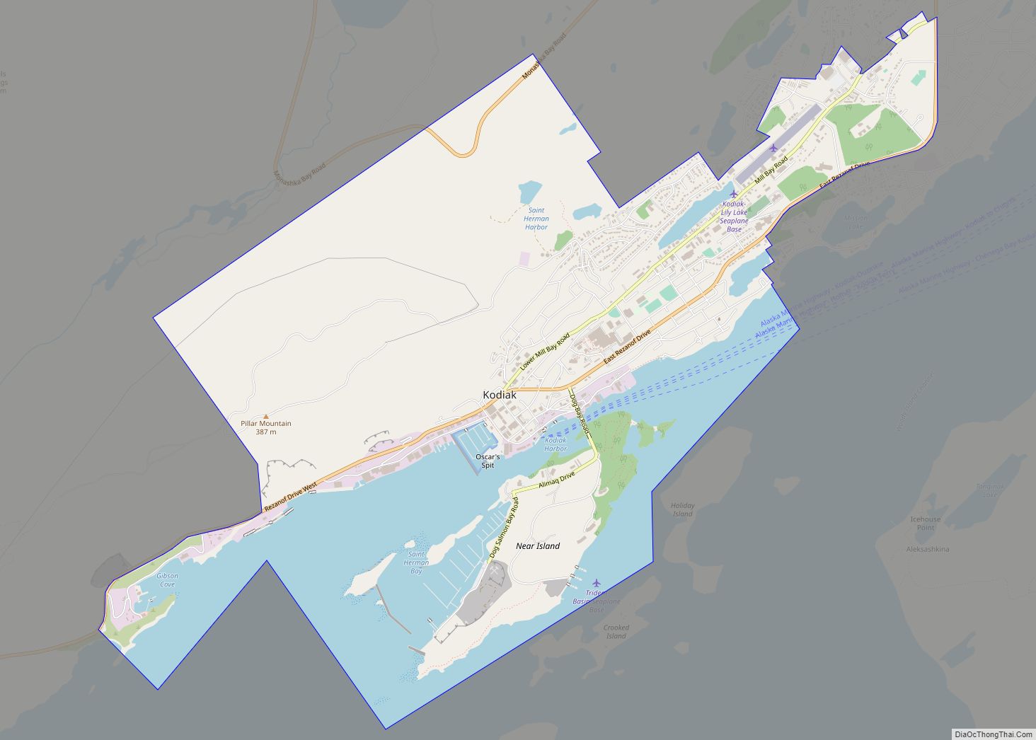
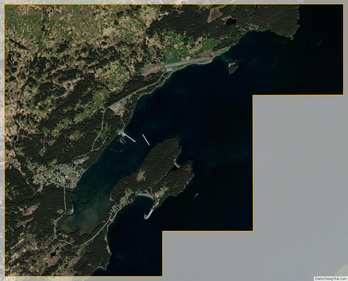
Port Lions city Satellite Map
Geography
Port Lions is located at 57°52′5″N 152°52′48″W / 57.86806°N 152.88000°W / 57.86806; -152.88000 (57.868070, -152.880047).
According to the United States Census Bureau, the city has a total area of 10.1 square miles (26 km), of which, 6.3 square miles (16 km) of it is land and 3.7 square miles (9.6 km) of it (36.98%) is water.
See also
Map of Alaska State and its subdivision:- Aleutians East
- Aleutians West
- Anchorage
- Bethel
- Bristol Bay
- Denali
- Dillingham
- Fairbanks North Star
- Haines
- Juneau
- Kenai Peninsula
- Ketchikan Gateway
- Kodiak Island
- Lake and Peninsula
- Matanuska-Susitna
- Nome
- North Slope
- Northwest Arctic
- Prince of Wales-Outer Ketchi
- Sitka
- Skagway-Yakutat-Angoon
- Southeast Fairbanks
- Valdez-Cordova
- Wade Hampton
- Wrangell-Petersburg
- Yukon-Koyukuk
- Alabama
- Alaska
- Arizona
- Arkansas
- California
- Colorado
- Connecticut
- Delaware
- District of Columbia
- Florida
- Georgia
- Hawaii
- Idaho
- Illinois
- Indiana
- Iowa
- Kansas
- Kentucky
- Louisiana
- Maine
- Maryland
- Massachusetts
- Michigan
- Minnesota
- Mississippi
- Missouri
- Montana
- Nebraska
- Nevada
- New Hampshire
- New Jersey
- New Mexico
- New York
- North Carolina
- North Dakota
- Ohio
- Oklahoma
- Oregon
- Pennsylvania
- Rhode Island
- South Carolina
- South Dakota
- Tennessee
- Texas
- Utah
- Vermont
- Virginia
- Washington
- West Virginia
- Wisconsin
- Wyoming