Russian Mission (Central Yupik: Iqugmiut; Russian: Икогмют – Ikogmiut, now Рашен-Мишен) is a city in Kusilvak Census Area, Alaska. It was the location of a fur trading post of the Russian-American Company in 1842. After the sale of Russian-American possessions to the United States in 1867, it was officially named Russian Mission in the early 1900s. The sale of alcohol is prohibited. At the 2010 census the population was 312, up from 296 in 2000.
| Name: | Russian Mission city |
|---|---|
| LSAD Code: | 25 |
| LSAD Description: | city (suffix) |
| State: | Alaska |
| County: | Kusilvak Census Area |
| Incorporated: | October 28, 1970 |
| Elevation: | 52 ft (16 m) |
| Total Area: | 5.72 sq mi (14.82 km²) |
| Land Area: | 5.37 sq mi (13.90 km²) |
| Water Area: | 0.35 sq mi (0.92 km²) |
| Total Population: | 421 |
| Population Density: | 78.43/sq mi (30.28/km²) |
| ZIP code: | 99657 |
| Area code: | 907 |
| FIPS code: | 0265700 |
| GNISfeature ID: | 1408925 |
Online Interactive Map
Click on ![]() to view map in "full screen" mode.
to view map in "full screen" mode.
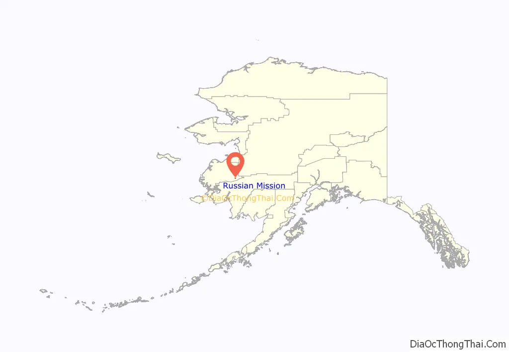
Russian Mission location map. Where is Russian Mission city?
History
The first Russian-American Company fur trading post on the Yukon River was established here in 1837. The settlement was recorded as a Cup’ik village called “Ikogmiut,” meaning “people of the point,” in 1842 by the Imperial Russian Navy explorer Lavrenty Zagoskin.
The first Russian Orthodox mission in Interior Alaska was established here in 1851 by the Aleut priest Jacob Netsvetov. The mission was called “Pokrovskaya Mission,” and the village name was changed to Russian Mission around 1900. It was often confused with a village on the Kuskokwim that was also called “Russian Mission” (or “Little Russian Mission”) but which was renamed Chuathbaluk in the 1960s.
The city was incorporated in 1970.
Russian Mission Road Map
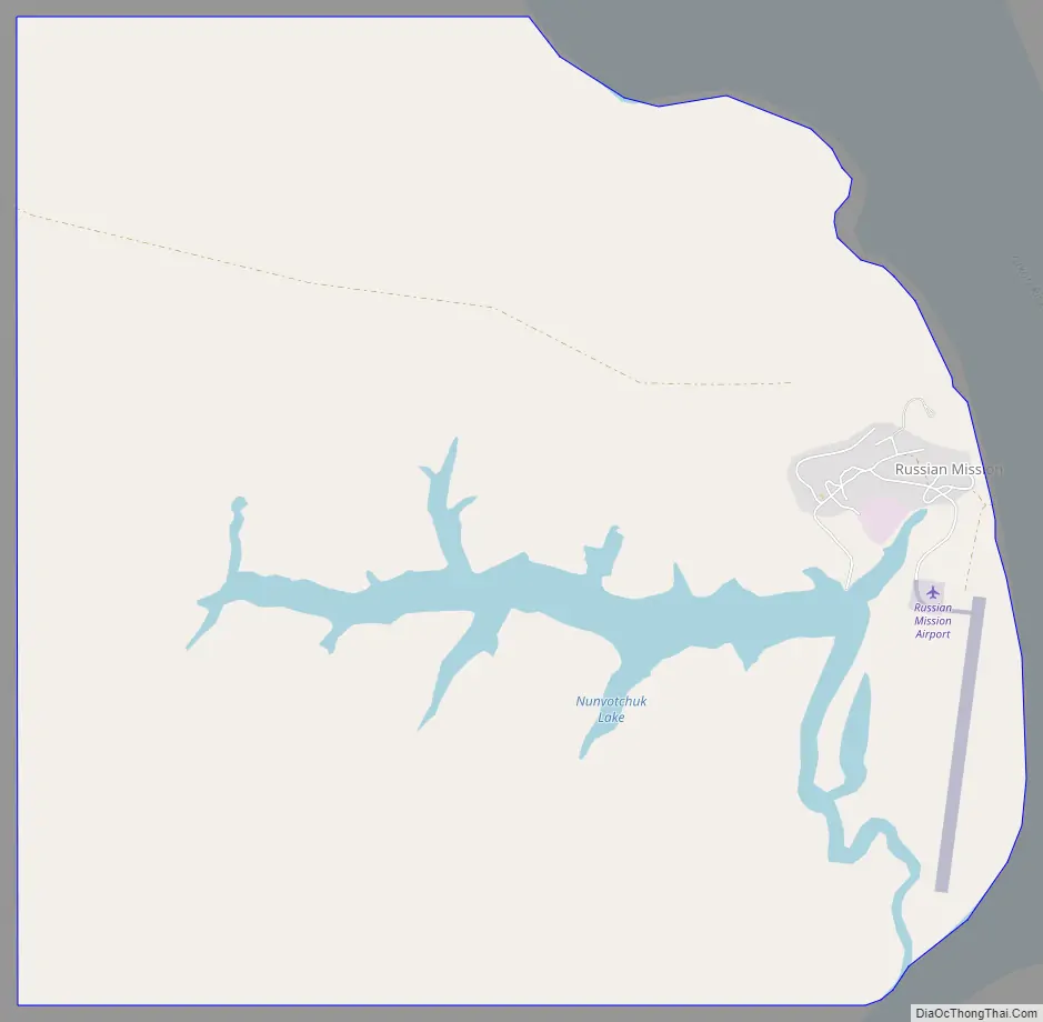
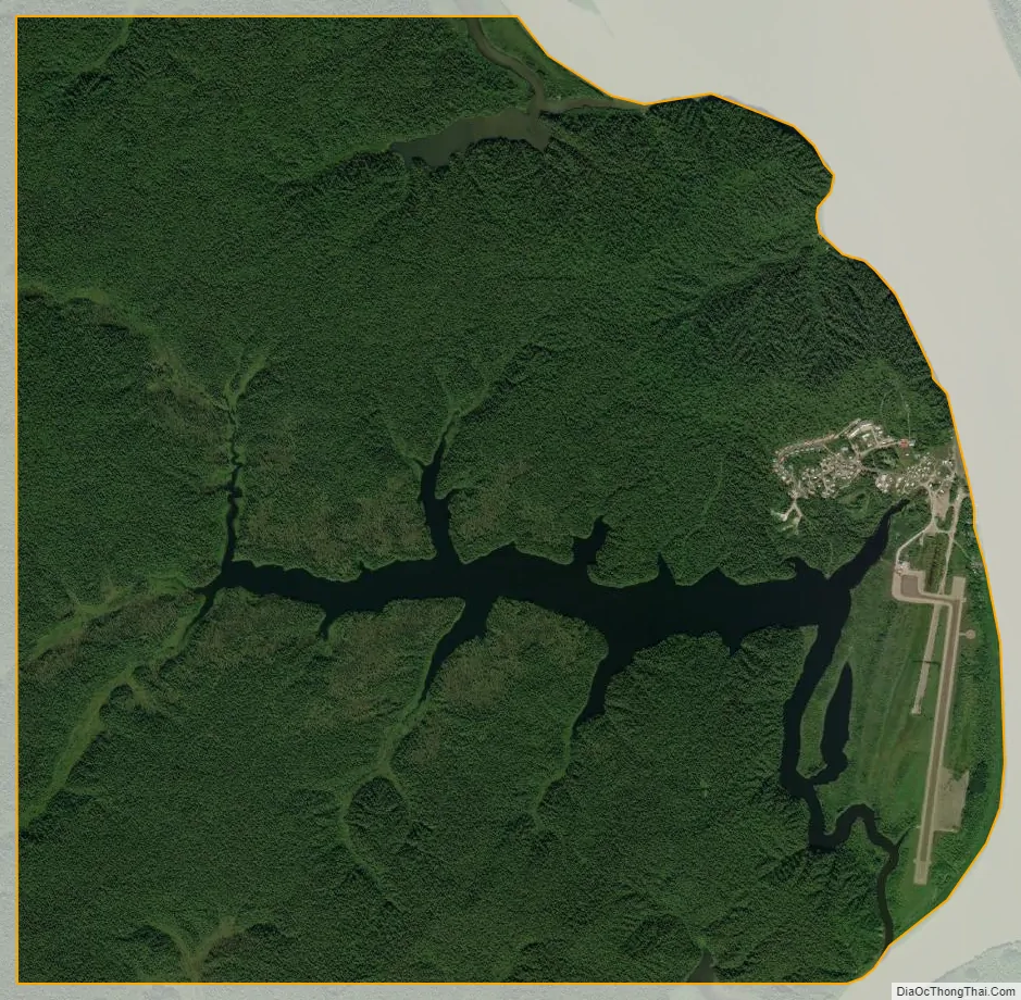
Russian Mission city Satellite Map
Geography
Russian Mission is located at 61°47′8″N 161°20′3″W / 61.78556°N 161.33417°W / 61.78556; -161.33417 (61.785522, -161.334074).
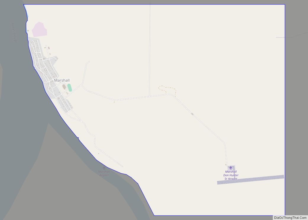
Russian Mission is located on the right (western) bank of the Yukon River in the Yukon-Kuskokwim Delta, 25 miles southeast of Marshall. It lies 70 air miles northeast of Bethel and 376 miles west of Anchorage.
According to the United States Census Bureau, the city has a total area of 6.2 square miles (16 km), of which, 5.7 square miles (15 km) of it is land and 0.5 square miles (1.3 km) of it (8.27%) is water.
See also
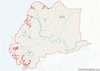
Map of Alaska State and its subdivision:- Aleutians East
- Aleutians West
- Anchorage
- Bethel
- Bristol Bay
- Denali
- Dillingham
- Fairbanks North Star
- Haines
- Juneau
- Kenai Peninsula
- Ketchikan Gateway
- Kodiak Island
- Lake and Peninsula
- Matanuska-Susitna
- Nome
- North Slope
- Northwest Arctic
- Prince of Wales-Outer Ketchi
- Sitka
- Skagway-Yakutat-Angoon
- Southeast Fairbanks
- Valdez-Cordova
- Wade Hampton
- Wrangell-Petersburg
- Yukon-Koyukuk
- Alabama
- Alaska
- Arizona
- Arkansas
- California
- Colorado
- Connecticut
- Delaware
- District of Columbia
- Florida
- Georgia
- Hawaii
- Idaho
- Illinois
- Indiana
- Iowa
- Kansas
- Kentucky
- Louisiana
- Maine
- Maryland
- Massachusetts
- Michigan
- Minnesota
- Mississippi
- Missouri
- Montana
- Nebraska
- Nevada
- New Hampshire
- New Jersey
- New Mexico
- New York
- North Carolina
- North Dakota
- Ohio
- Oklahoma
- Oregon
- Pennsylvania
- Rhode Island
- South Carolina
- South Dakota
- Tennessee
- Texas
- Utah
- Vermont
- Virginia
- Washington
- West Virginia
- Wisconsin
- Wyoming