Slana /ˈslænə/ (Ahtena: Stl’ana’) is a census-designated place (CDP) in the Copper River Census Area in the Unorganized Borough of the U.S. state of Alaska. As of the 2020 census, the population of the CDP was 116, down from 147 in 2010.
| Name: | Slana CDP |
|---|---|
| LSAD Code: | 57 |
| LSAD Description: | CDP (suffix) |
| State: | Alaska |
| County: | Valdez-Cordova Census Area |
| Total Area: | 253.67 sq mi (657.00 km²) |
| Land Area: | 252.81 sq mi (654.76 km²) |
| Water Area: | 0.86 sq mi (2.24 km²) |
| Total Population: | 116 |
| Population Density: | 0.46/sq mi (0.18/km²) |
| Area code: | 907 |
| FIPS code: | 0270930 |
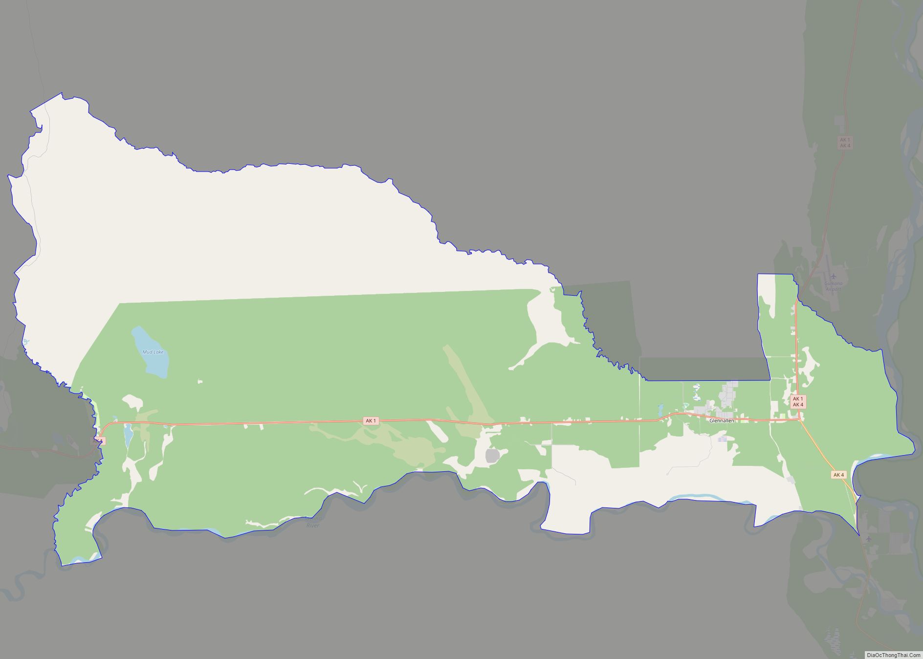
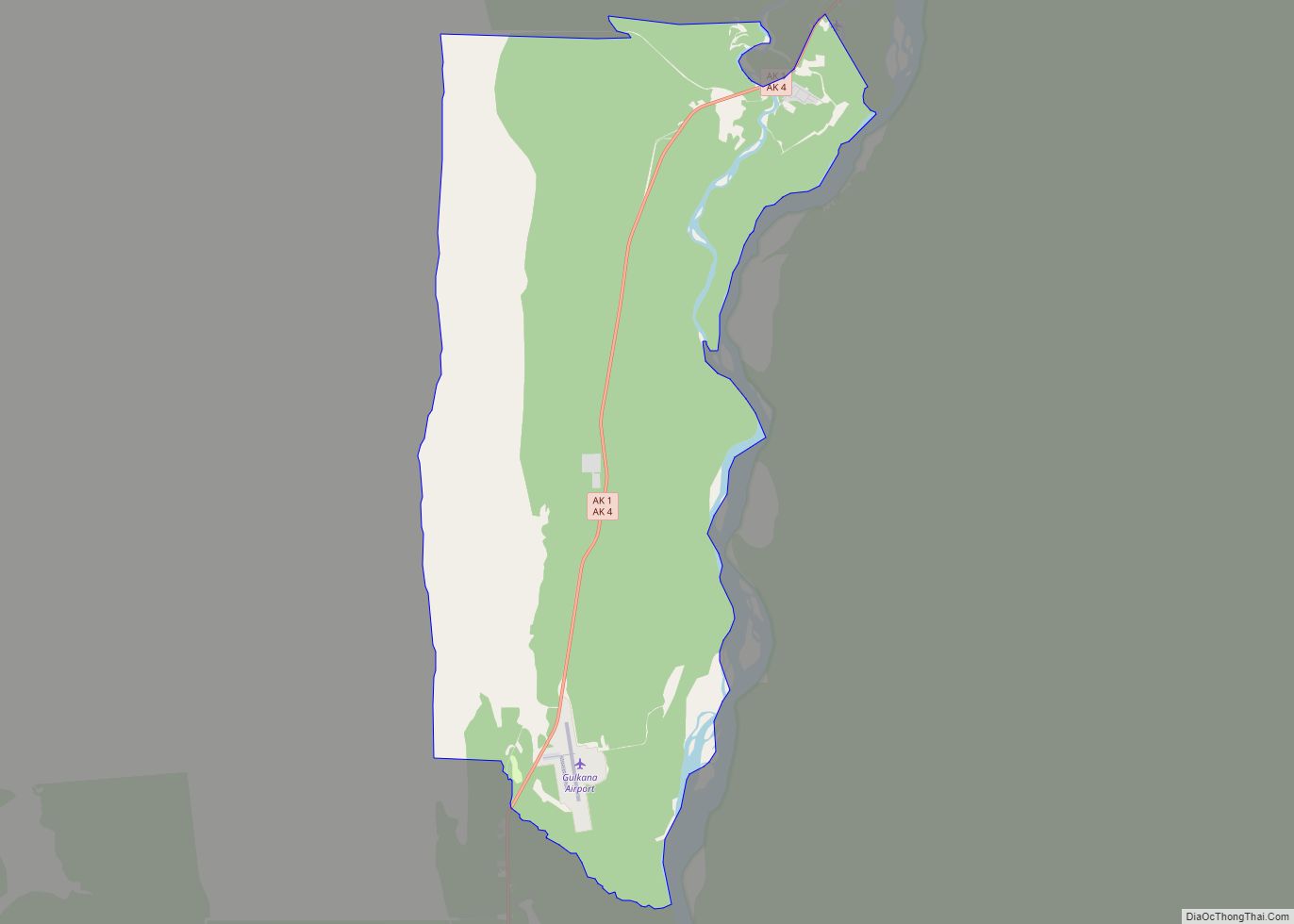
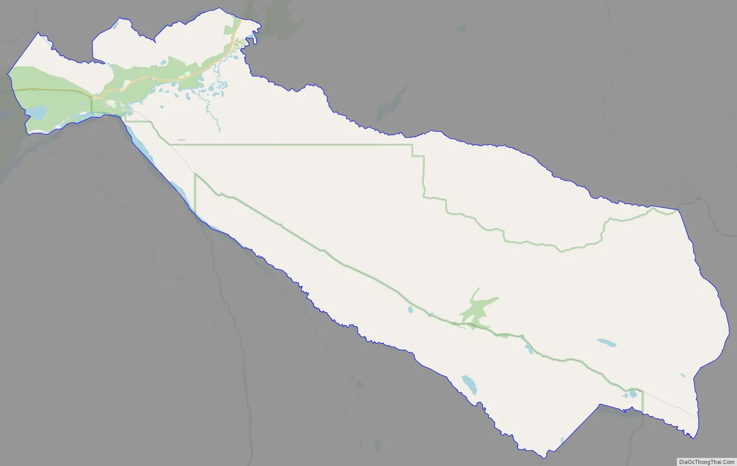
Online Interactive Map
Click on ![]() to view map in "full screen" mode.
to view map in "full screen" mode.
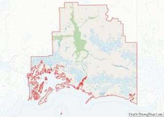
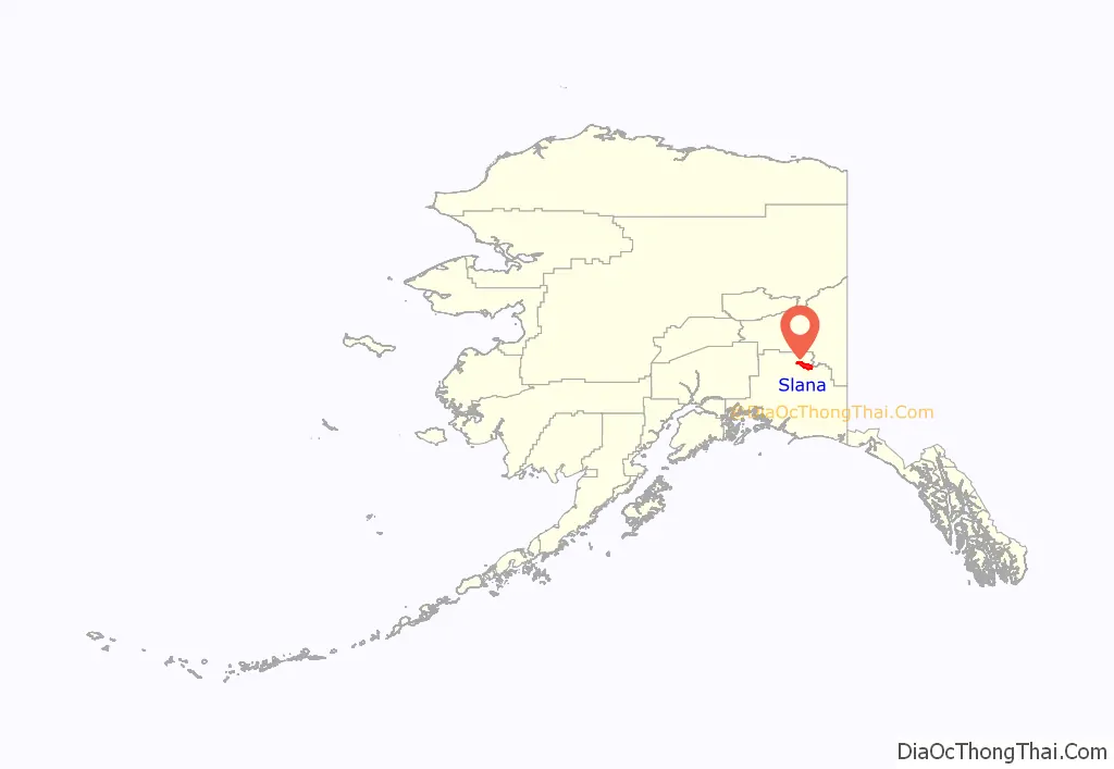
Slana location map. Where is Slana CDP?
History
Slana is an Alaska Native village name, derived from the name of the river Slana. The Nabesna Mine opened in 1923, which employed 60 people at its height. Over thirty different minerals were extracted from this site, although gold was the primary source of profit. It operated sporadically through the late 1940s. Slana developed rapidly in the 1980s when homesteads were offered for settlement by the federal government.
Slana grew around the Slana Roadhouse, which is listed in the U.S. National Register of Historic Places.
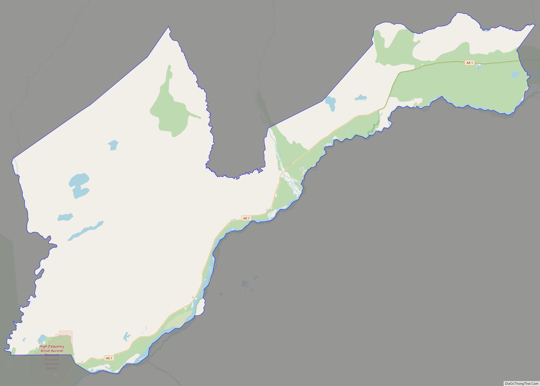
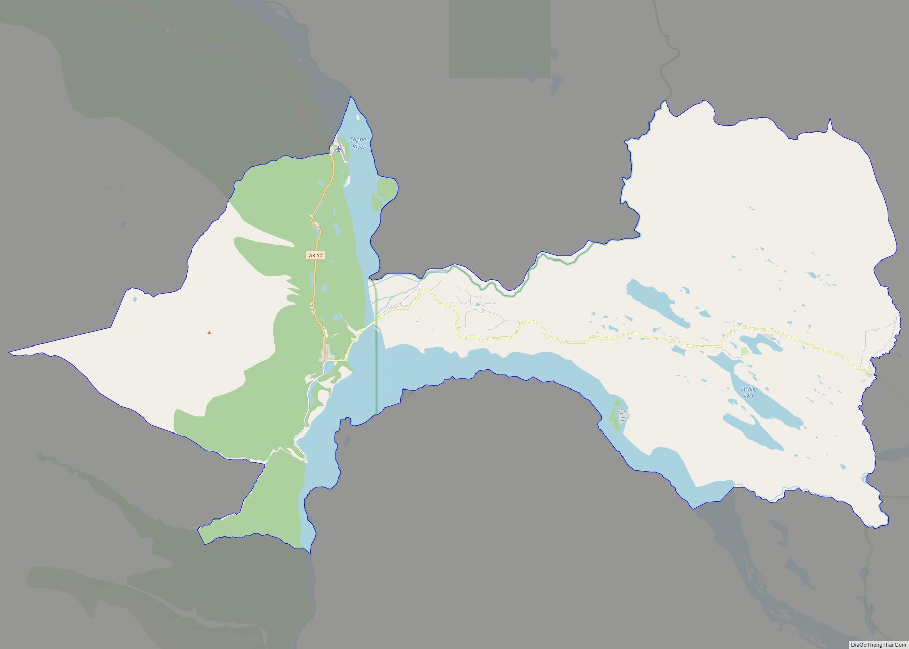
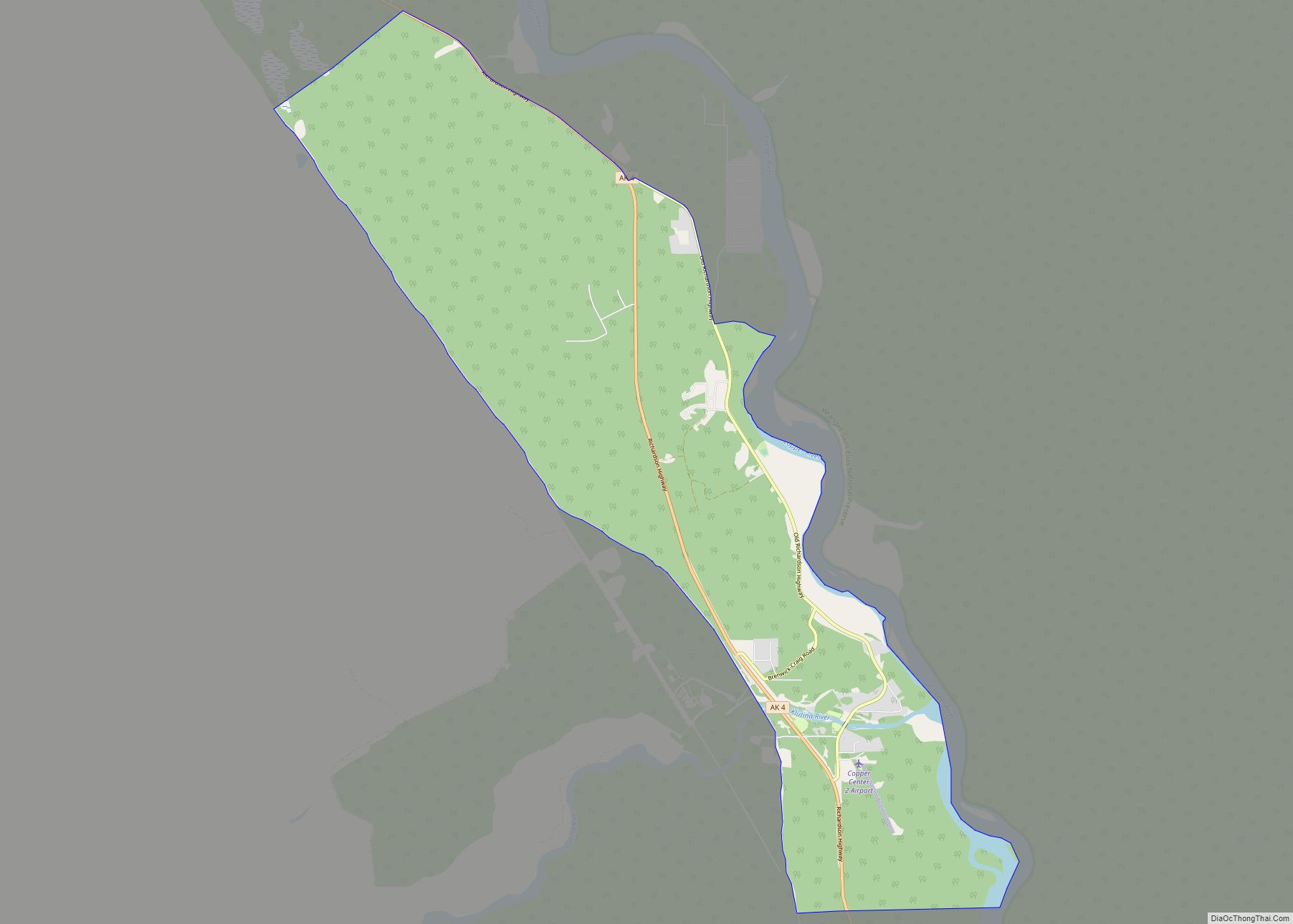
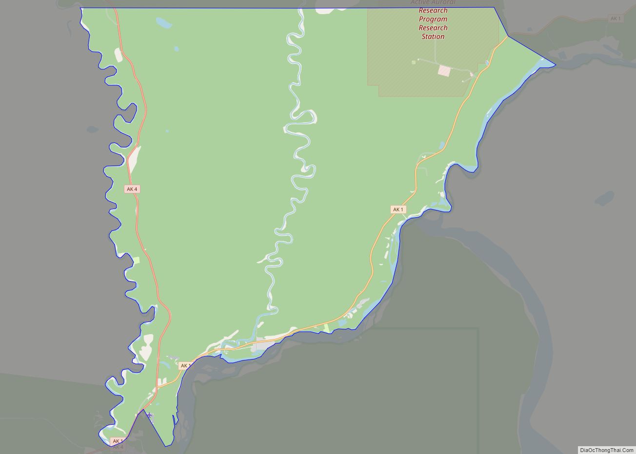
Slana Road Map
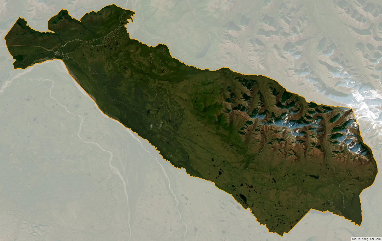
Slana city Satellite Map
Geography
Slana is located in Sec. 29, T011N, R008E, Copper River Meridian in the Chitina Recording District.
Slana stretches along the Nabesna Road, which runs south of the Tok Cut-Off at mile 63 (km 101). It lies at the junction of the Slana and Copper rivers, 85 kilometers (53 mi) southwest of Tok. Slana experiences a continental subarctic climate (Köppen Dfc), with long, cold winters, and relatively warm summers. Temperature extremes range from −57 to 93 °F (−49.4 to 33.9 °C). Snowfall averages 55.4 inches (1.41 m), with total precipitation of 15.35 inches or 389.9 millimeters per year.
According to the United States Census Bureau, the CDP has a total area of 253.8 square miles (657 km), of which, 252.9 square miles (655 km) of it is land and 0.9 square miles (2.3 km) of it (0.37%) is water.
See also
Map of Alaska State and its subdivision:- Aleutians East
- Aleutians West
- Anchorage
- Bethel
- Bristol Bay
- Denali
- Dillingham
- Fairbanks North Star
- Haines
- Juneau
- Kenai Peninsula
- Ketchikan Gateway
- Kodiak Island
- Lake and Peninsula
- Matanuska-Susitna
- Nome
- North Slope
- Northwest Arctic
- Prince of Wales-Outer Ketchi
- Sitka
- Skagway-Yakutat-Angoon
- Southeast Fairbanks
- Valdez-Cordova
- Wade Hampton
- Wrangell-Petersburg
- Yukon-Koyukuk
- Alabama
- Alaska
- Arizona
- Arkansas
- California
- Colorado
- Connecticut
- Delaware
- District of Columbia
- Florida
- Georgia
- Hawaii
- Idaho
- Illinois
- Indiana
- Iowa
- Kansas
- Kentucky
- Louisiana
- Maine
- Maryland
- Massachusetts
- Michigan
- Minnesota
- Mississippi
- Missouri
- Montana
- Nebraska
- Nevada
- New Hampshire
- New Jersey
- New Mexico
- New York
- North Carolina
- North Dakota
- Ohio
- Oklahoma
- Oregon
- Pennsylvania
- Rhode Island
- South Carolina
- South Dakota
- Tennessee
- Texas
- Utah
- Vermont
- Virginia
- Washington
- West Virginia
- Wisconsin
- Wyoming