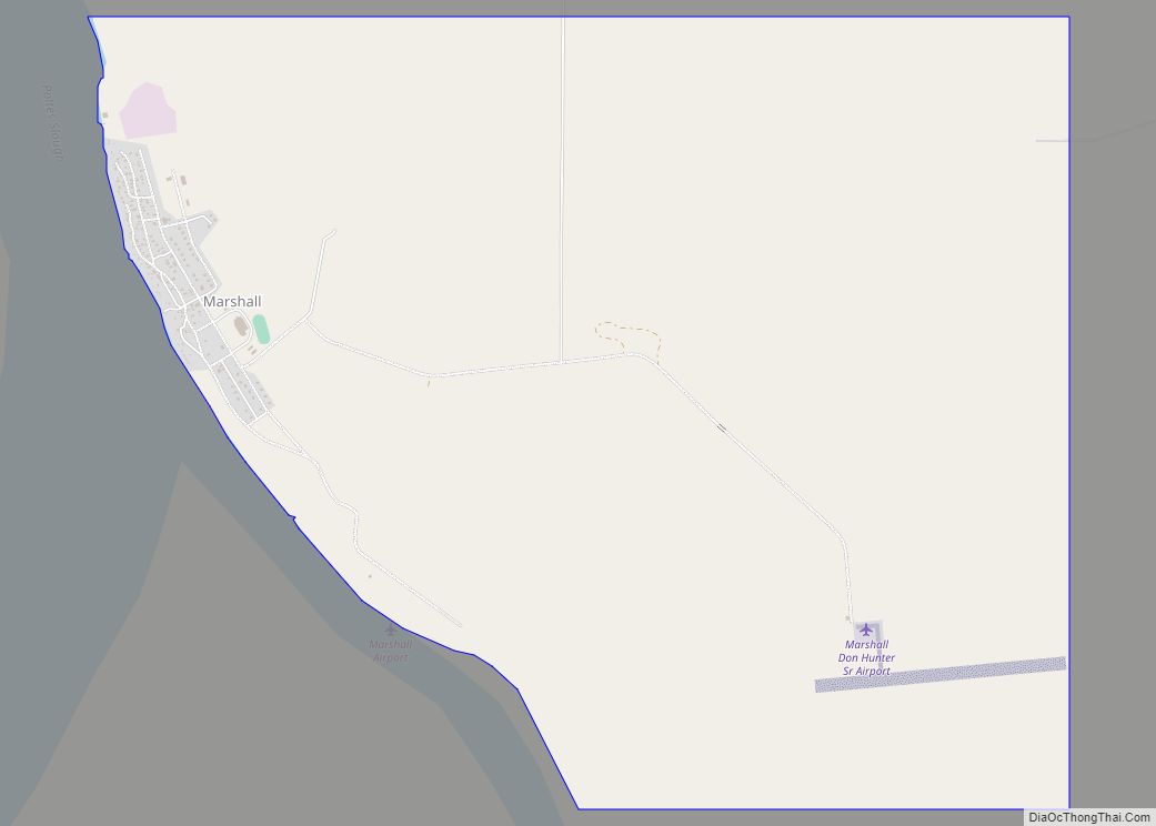
St. Mary’s (Central Yupik: Negeqliq) is a city in Kusilvak Census Area, Alaska, United States. The adjacent village of Andreafsky (historically known as Clear River) joined with St. Mary’s in 1980. At the 2010 census the population was 507, up from 500 in 2000. By 2018, the population was estimated to be 567.
Within Saint Mary’s there are two federally-recognized tribes the Algaaciq Tribal Government and the Yuupiit of Andreafsky.
| Name: | St. Mary’s city |
|---|---|
| LSAD Code: | 25 |
| LSAD Description: | city (suffix) |
| State: | Alaska |
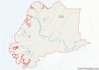
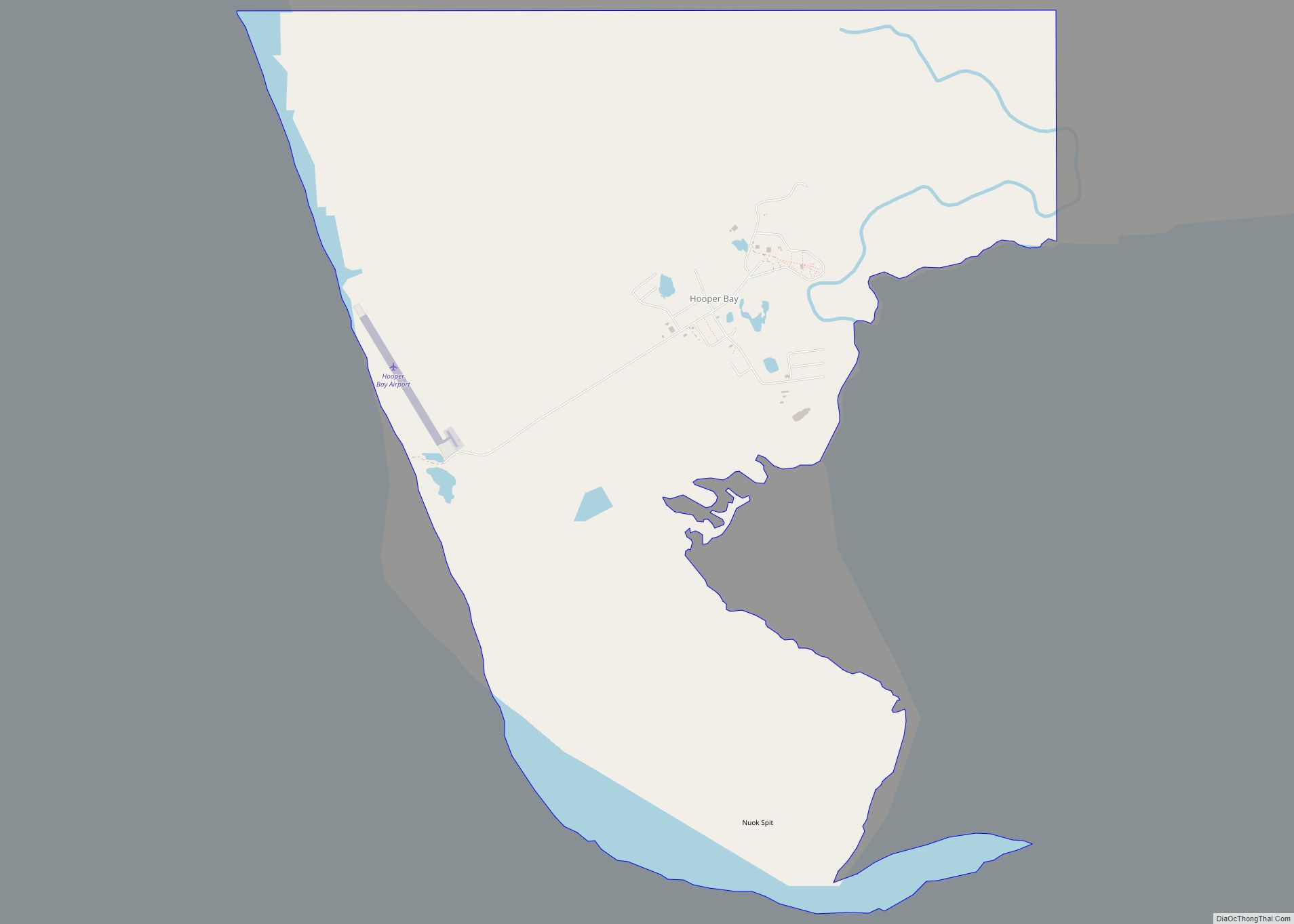
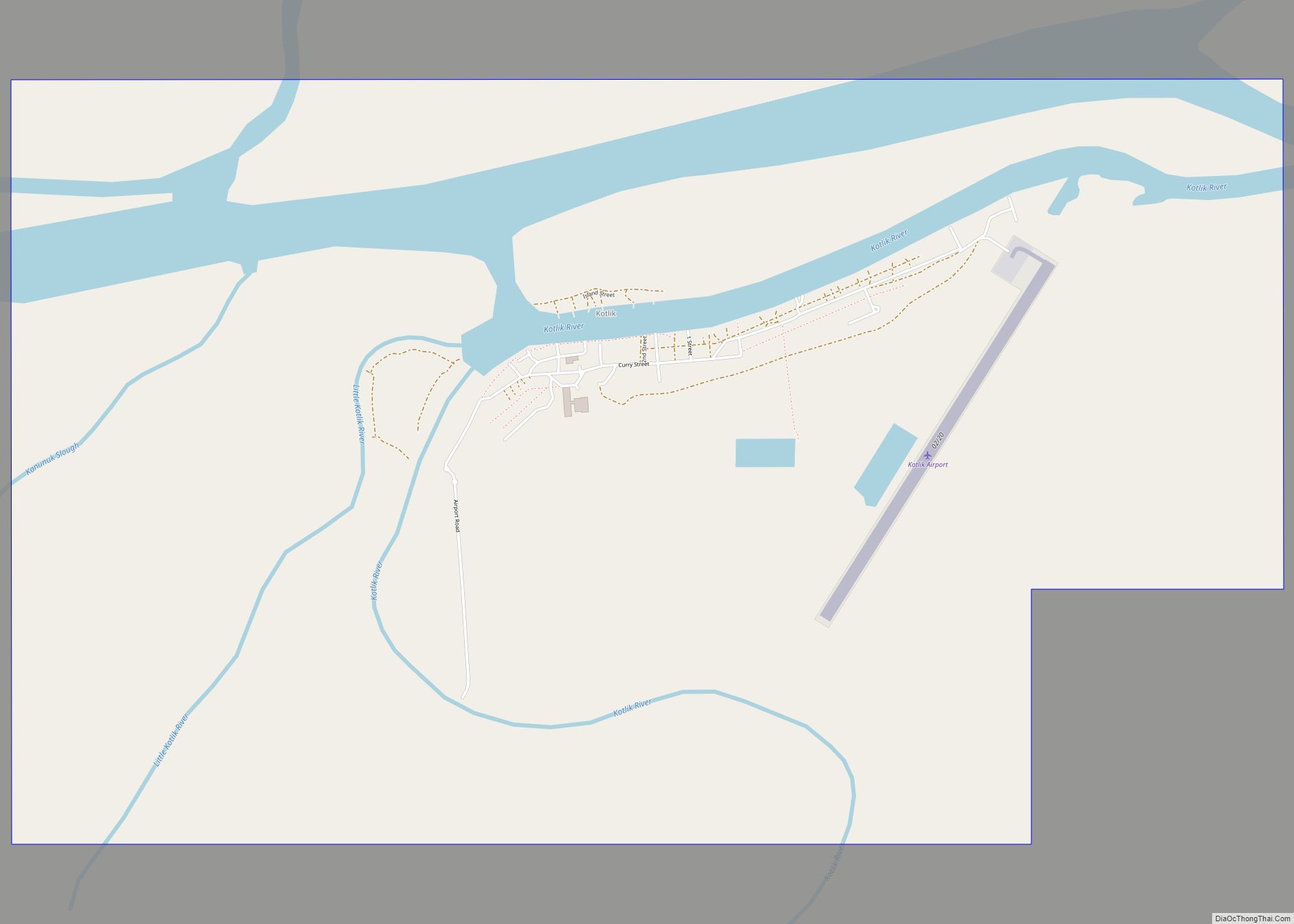
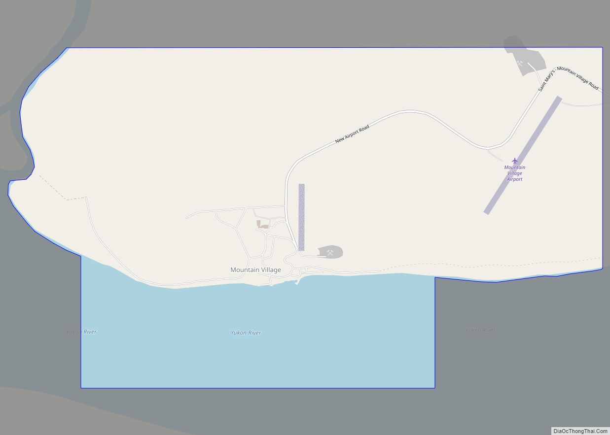
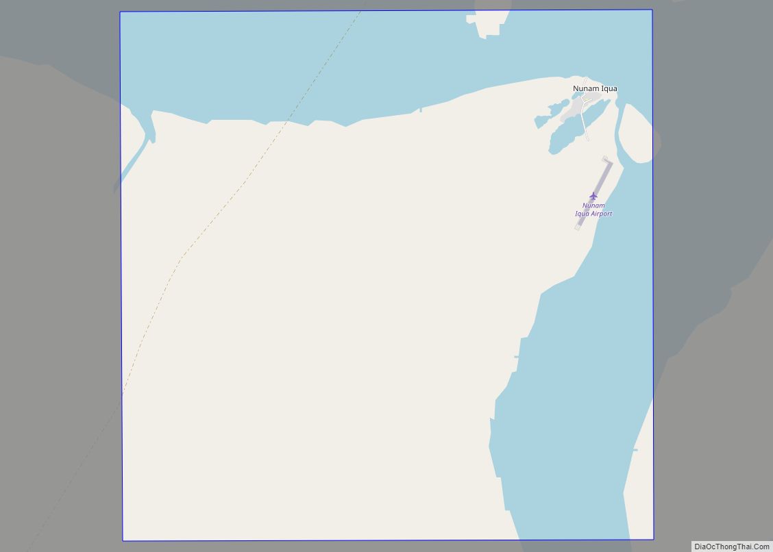
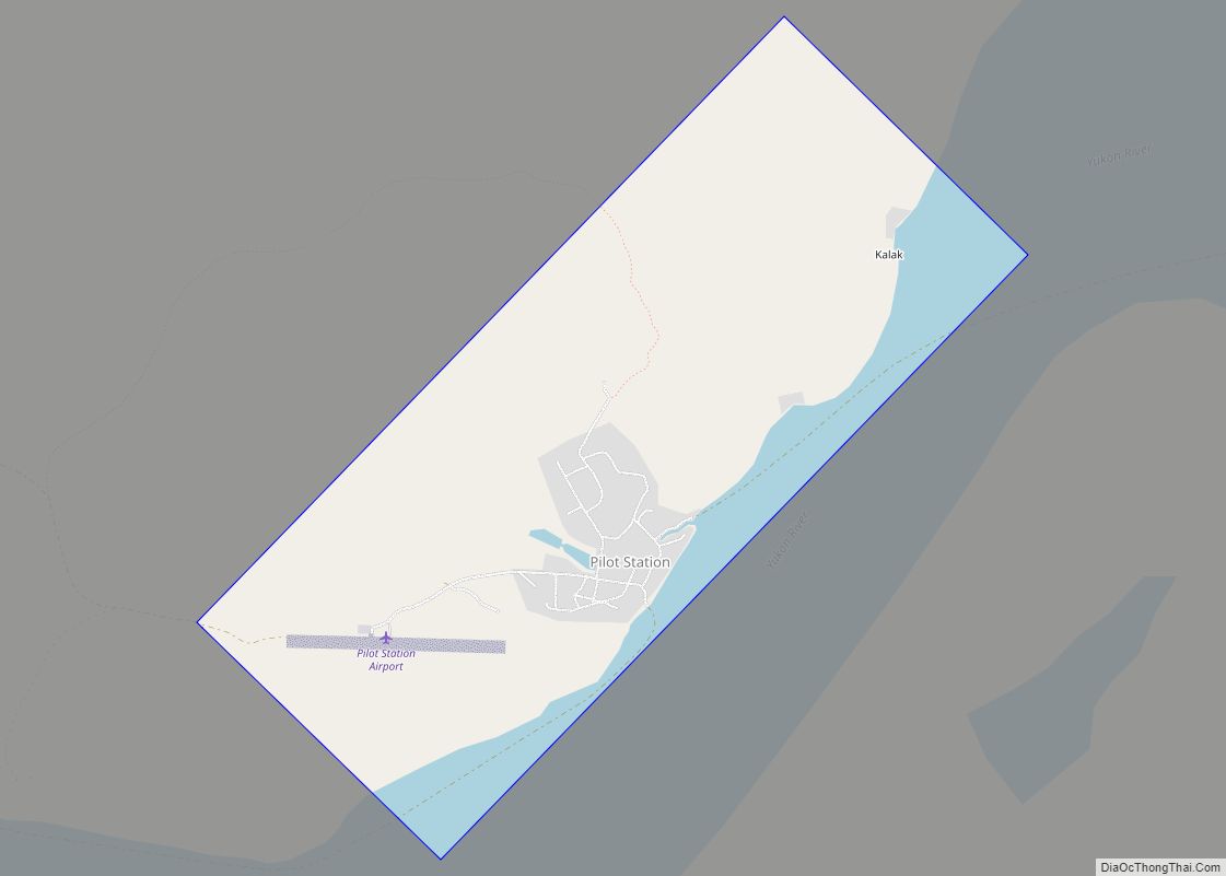
| County: | Kusilvak Census Area |
| Incorporated: | August 2, 1967 |
| Total Area: | 51.57 sq mi (133.56 km²) |
| Land Area: | 44.60 sq mi (115.53 km²) |
| Water Area: | 6.96 sq mi (18.03 km²) |
| Total Population: | 599 |
| Population Density: | 13.43/sq mi (5.19/km²) |
| ZIP code: | 99658 |
| Area code: | 907 |
| FIPS code: | 0266140 |
Online Interactive Map
Click on ![]() to view map in "full screen" mode.
to view map in "full screen" mode.
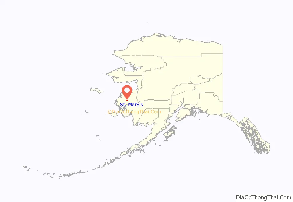
St. Mary’s location map. Where is St. Mary’s city?
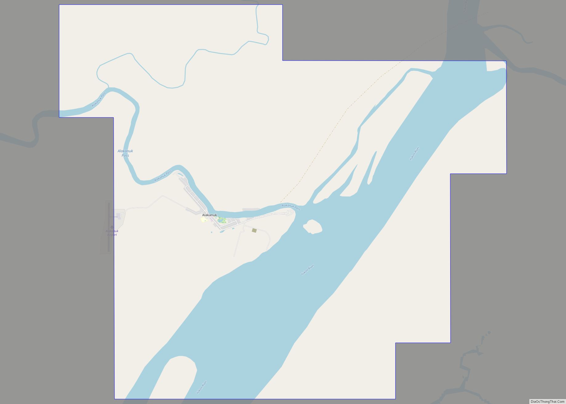
St. Mary’s Road Map
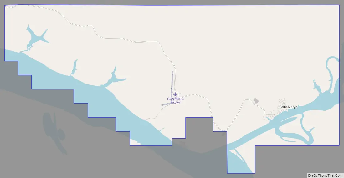
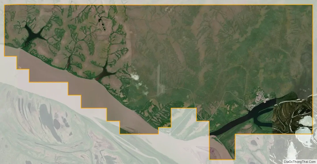
St. Mary’s city Satellite Map
Geography
St. Mary’s is located at 62°2′43″N 163°13′7″W / 62.04528°N 163.21861°W / 62.04528; -163.21861 (62.045305, -163.218629).
According to the United States Census Bureau, the city has a total area of 50.2 square miles (130 km), of which, 44.0 square miles (114 km) of it is land and 6.3 square miles (16 km) of it (12.47%) is water.
Climate
See also
Map of Alaska State and its subdivision:- Aleutians East
- Aleutians West
- Anchorage
- Bethel
- Bristol Bay
- Denali
- Dillingham
- Fairbanks North Star
- Haines
- Juneau
- Kenai Peninsula
- Ketchikan Gateway
- Kodiak Island
- Lake and Peninsula
- Matanuska-Susitna
- Nome
- North Slope
- Northwest Arctic
- Prince of Wales-Outer Ketchi
- Sitka
- Skagway-Yakutat-Angoon
- Southeast Fairbanks
- Valdez-Cordova
- Wade Hampton
- Wrangell-Petersburg
- Yukon-Koyukuk
- Alabama
- Alaska
- Arizona
- Arkansas
- California
- Colorado
- Connecticut
- Delaware
- District of Columbia
- Florida
- Georgia
- Hawaii
- Idaho
- Illinois
- Indiana
- Iowa
- Kansas
- Kentucky
- Louisiana
- Maine
- Maryland
- Massachusetts
- Michigan
- Minnesota
- Mississippi
- Missouri
- Montana
- Nebraska
- Nevada
- New Hampshire
- New Jersey
- New Mexico
- New York
- North Carolina
- North Dakota
- Ohio
- Oklahoma
- Oregon
- Pennsylvania
- Rhode Island
- South Carolina
- South Dakota
- Tennessee
- Texas
- Utah
- Vermont
- Virginia
- Washington
- West Virginia
- Wisconsin
- Wyoming