Wales (Inupiaq: Kiŋigin, IPA: [kiŋiɣin]; Russian: У́эйлс, romanized: Weyls) is a city in the Nome Census Area, Alaska, United States. At the 2010 census the population was 145, down from 152 in 2000. It is the westernmost city on the North American mainland, although Adak, located on Adak Island, is the westernmost city in Alaska. Wales Airport serves Wales with flights on Bering Air and Ravn Alaska to Nome.
| Name: | Wales city |
|---|---|
| LSAD Code: | 25 |
| LSAD Description: | city (suffix) |
| State: | Alaska |
| County: | Nome Census Area |
| Incorporated: | April 16, 1964 |
| Elevation: | 26 ft (8 m) |
| Total Area: | 2.30 sq mi (5.97 km²) |
| Land Area: | 2.30 sq mi (5.97 km²) |
| Water Area: | 0.00 sq mi (0.00 km²) |
| Total Population: | 168 |
| Population Density: | 72.92/sq mi (28.16/km²) |
| ZIP code: | 99783 |
| Area code: | 907 |
| FIPS code: | 0282860 |
| GNISfeature ID: | 1404755 |
Online Interactive Map
Click on ![]() to view map in "full screen" mode.
to view map in "full screen" mode.
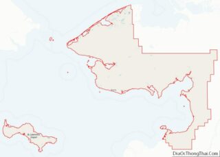
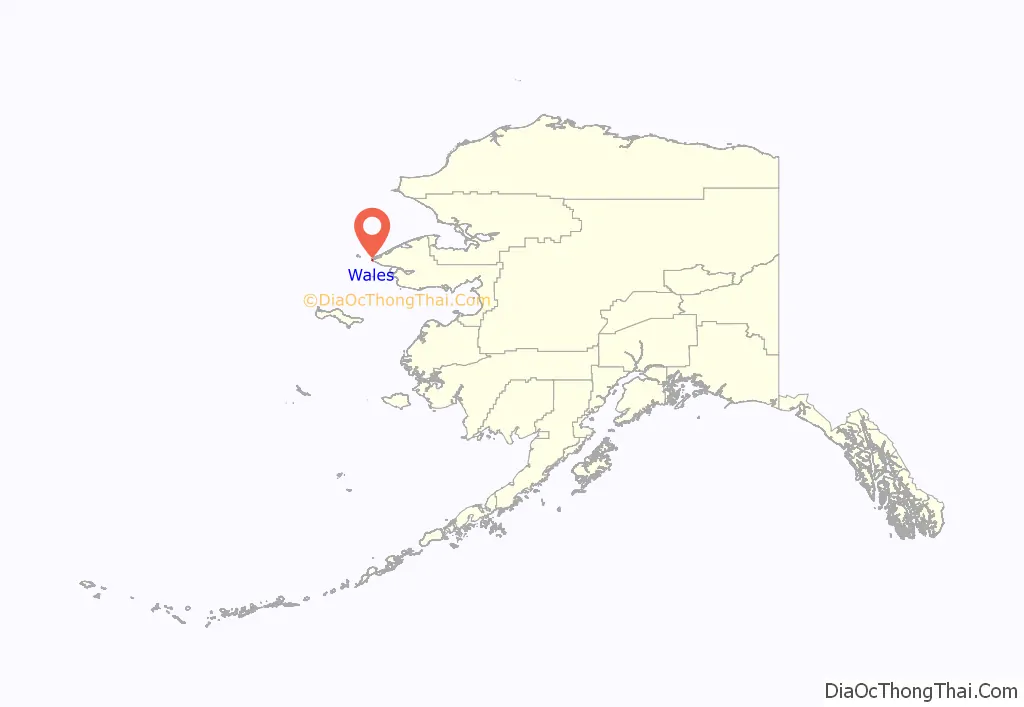
Wales location map. Where is Wales city?
History
A burial mound from the Birnirk culture (CE 500 to 900) was discovered near Wales and is now a National Historic Landmark.
In 1827, a Russian Navy report listed the Inupiat villages of “Eidamoo” near the coast and “King-a-ghe” inland in the area.
In 1890, the American Missionary Association established a mission at the site of present-day Wales. In the 1890s, reindeer (domesticated caribou) were brought to the area and in 1894 a reindeer station was established. Wales became an important whaling center due to its location along whale migratory routes, and it was the region’s largest and most prosperous village, with more than 500 residents. Wales is named after the country Wales.
The 1918 flu pandemic decimated the population and economy of Wales.
In 2002 a wind-diesel system became operational.
On November 9, 2011, the city experienced the 2011 Bering Sea superstorm. Wind gusts of 89 miles per hour (143 km/h) were recorded in Wales.
On January 17, 2023, a polar bear entered the community of Wales and chased multiple residents. The bear fatally attacked an adult female and a juvenile male. It was shot and killed by a local resident as it mauled the pair. This was Alaska’s first reported polar bear attack in over 30 years.
Wales Road Map
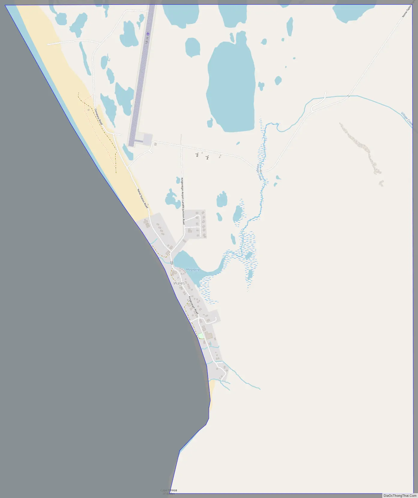
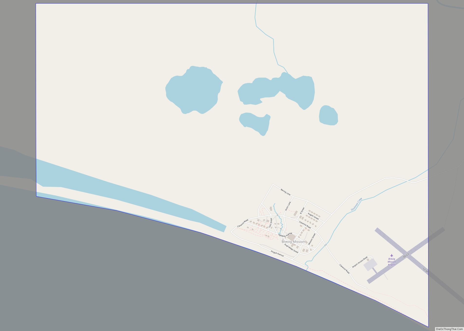
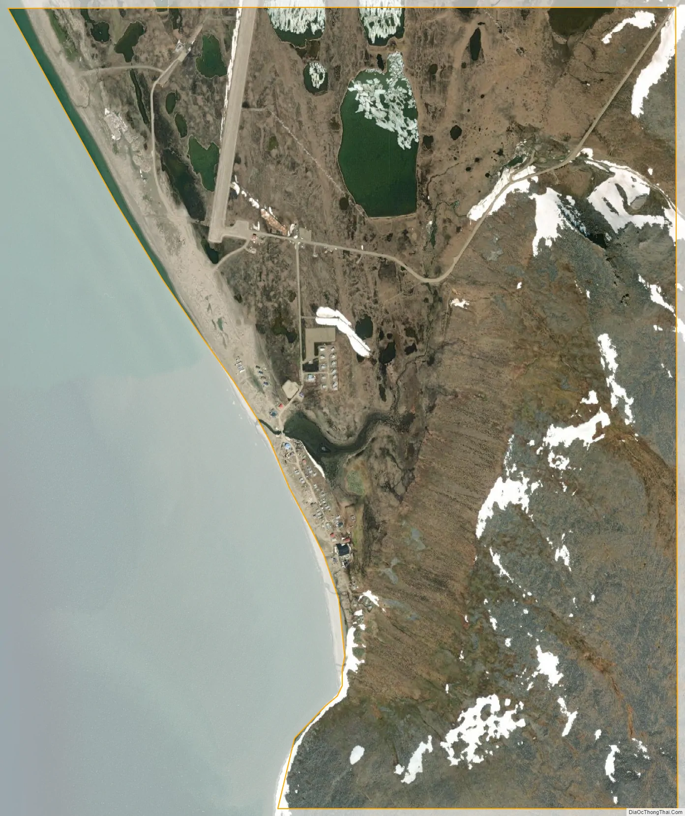
Wales city Satellite Map
Geography
Wales is located at 65°36′44″N 168°5′21″W / 65.61222°N 168.08917°W / 65.61222; -168.08917 (65.612116, −168.089285).
Wales is located on the westernmost point of the American mainland, Cape Prince of Wales, on the western tip of the Seward Peninsula. It is at the northern end of the Continental Divide where the Pacific Ocean and Arctic Ocean meet. It is 111 miles (179 km) northwest of Nome.
According to the United States Census Bureau, the city has a total area of 2.8 square miles (7.3 km), all of it land.
See also
Map of Alaska State and its subdivision:- Aleutians East
- Aleutians West
- Anchorage
- Bethel
- Bristol Bay
- Denali
- Dillingham
- Fairbanks North Star
- Haines
- Juneau
- Kenai Peninsula
- Ketchikan Gateway
- Kodiak Island
- Lake and Peninsula
- Matanuska-Susitna
- Nome
- North Slope
- Northwest Arctic
- Prince of Wales-Outer Ketchi
- Sitka
- Skagway-Yakutat-Angoon
- Southeast Fairbanks
- Valdez-Cordova
- Wade Hampton
- Wrangell-Petersburg
- Yukon-Koyukuk
- Alabama
- Alaska
- Arizona
- Arkansas
- California
- Colorado
- Connecticut
- Delaware
- District of Columbia
- Florida
- Georgia
- Hawaii
- Idaho
- Illinois
- Indiana
- Iowa
- Kansas
- Kentucky
- Louisiana
- Maine
- Maryland
- Massachusetts
- Michigan
- Minnesota
- Mississippi
- Missouri
- Montana
- Nebraska
- Nevada
- New Hampshire
- New Jersey
- New Mexico
- New York
- North Carolina
- North Dakota
- Ohio
- Oklahoma
- Oregon
- Pennsylvania
- Rhode Island
- South Carolina
- South Dakota
- Tennessee
- Texas
- Utah
- Vermont
- Virginia
- Washington
- West Virginia
- Wisconsin
- Wyoming