Wiseman is a census-designated place (CDP) in Yukon-Koyukuk Census Area, Alaska, United States. The full time resident population is 12 as of 2022.
Wiseman is a small mining community along the Middle Fork Koyukuk River in the Brooks Range. It was founded by gold miners who abandoned the Slate Creek (later Coldfoot) settlement around 1908.
Robert Marshall, who became a prominent American forester, preservation activist, and a co-founder of The Wilderness Society, wrote the bestselling book, Arctic Village, about his 15-month stay in this frontier town around the year 1930. Marshall described Wiseman and the Koyukuk River area surrounding it, as “the happiest civilization of which I have knowledge.” Marshall called Noel Wien’s first flight there on 5 May 1925, “one of the great events in Koyukuk history.”
The community is 3 miles (5 km) from the Dalton Highway, and it was not connected to the road until the early 1990s.
| Name: | Wiseman CDP |
|---|---|
| LSAD Code: | 57 |
| LSAD Description: | CDP (suffix) |
| State: | Alaska |
| County: | Yukon-Koyukuk Census Area |
| Elevation: | 1,181 ft (360 m) |
| Total Area: | 78.03 sq mi (202.11 km²) |
| Land Area: | 78.01 sq mi (202.05 km²) |
| Water Area: | 0.02 sq mi (0.05 km²) |
| Total Population: | 5 |
| Population Density: | 0.06/sq mi (0.02/km²) |
| Area code: | 907 |
| FIPS code: | 0285610 |
| GNISfeature ID: | 1414284 |
Online Interactive Map
Click on ![]() to view map in "full screen" mode.
to view map in "full screen" mode.
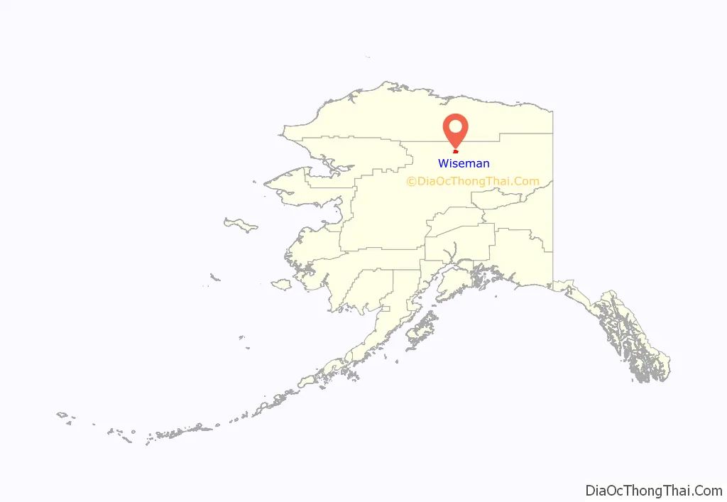
Wiseman location map. Where is Wiseman CDP?
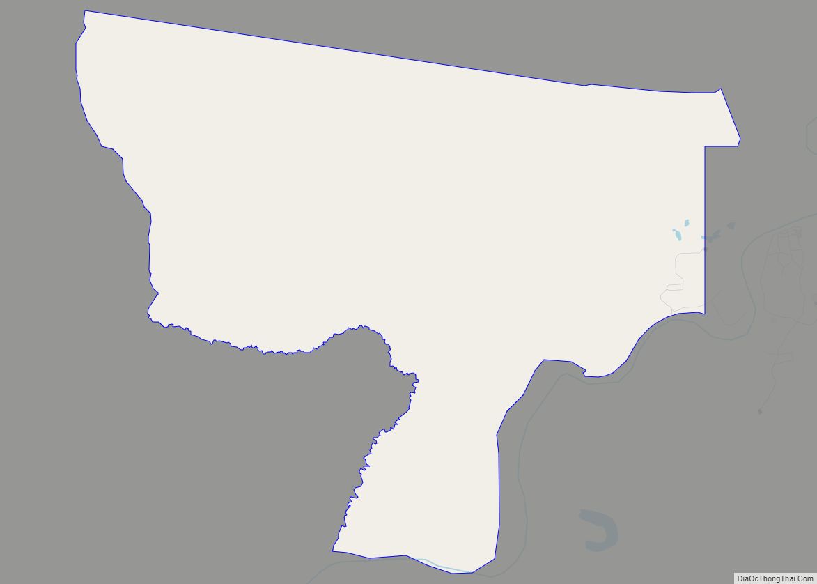
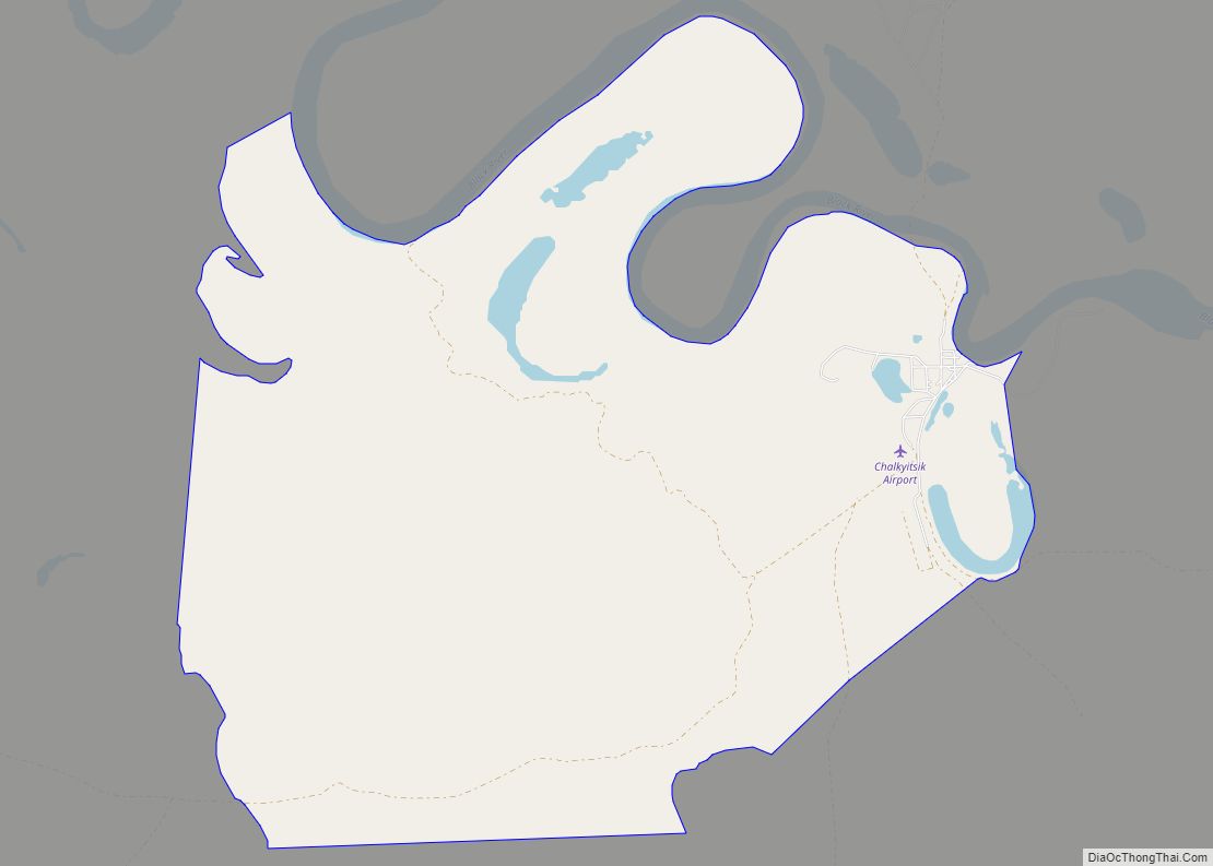
Wiseman Road Map
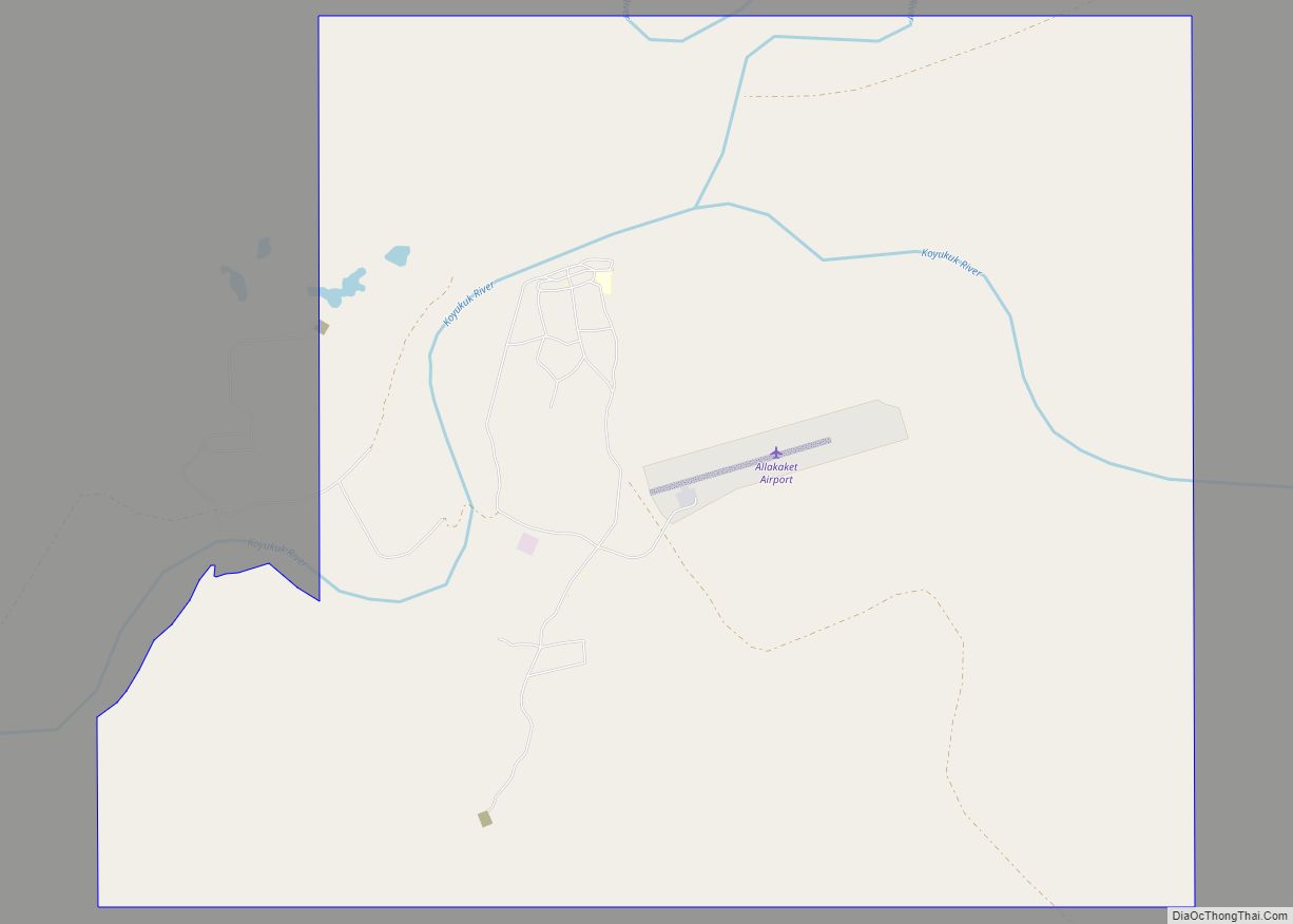
Wiseman city Satellite Map
Geography
Wiseman is located at 67°26′0″N 150°5′40″W / 67.43333°N 150.09444°W / 67.43333; -150.09444 (67.433355, -150.094376).
According to the United States Census Bureau, the CDP has a total area of 78.1 square miles (202 km), of which, 78.1 square miles (202 km) of it is land and 0.04 square miles (0.10 km) of it (0.05%) is water. The town is bisected by Wiseman Creek.
See also
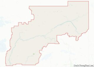
Map of Alaska State and its subdivision:- Aleutians East
- Aleutians West
- Anchorage
- Bethel
- Bristol Bay
- Denali
- Dillingham
- Fairbanks North Star
- Haines
- Juneau
- Kenai Peninsula
- Ketchikan Gateway
- Kodiak Island
- Lake and Peninsula
- Matanuska-Susitna
- Nome
- North Slope
- Northwest Arctic
- Prince of Wales-Outer Ketchi
- Sitka
- Skagway-Yakutat-Angoon
- Southeast Fairbanks
- Valdez-Cordova
- Wade Hampton
- Wrangell-Petersburg
- Yukon-Koyukuk
- Alabama
- Alaska
- Arizona
- Arkansas
- California
- Colorado
- Connecticut
- Delaware
- District of Columbia
- Florida
- Georgia
- Hawaii
- Idaho
- Illinois
- Indiana
- Iowa
- Kansas
- Kentucky
- Louisiana
- Maine
- Maryland
- Massachusetts
- Michigan
- Minnesota
- Mississippi
- Missouri
- Montana
- Nebraska
- Nevada
- New Hampshire
- New Jersey
- New Mexico
- New York
- North Carolina
- North Dakota
- Ohio
- Oklahoma
- Oregon
- Pennsylvania
- Rhode Island
- South Carolina
- South Dakota
- Tennessee
- Texas
- Utah
- Vermont
- Virginia
- Washington
- West Virginia
- Wisconsin
- Wyoming
