Arivaca (O’odham: Ali Wa:pk) is an unincorporated community in Pima County, Arizona, United States. It is located 11 miles (18 km) north of the Mexican border and 35 miles (56 km) northwest of the port of entry at Nogales. The European-American history of the area dates back at least to 1695, although the community was not founded until 1878. Arivaca has the ZIP code 85601. The 85601 ZIP Code Tabulation Area had a population of 909 at the 2000 census.
| Name: | Arivaca CDP |
|---|---|
| LSAD Code: | 57 |
| LSAD Description: | CDP (suffix) |
| State: | Arizona |
| County: | Pima County |
| Elevation: | 3,643 ft (1,110 m) |
| Total Area: | 27.78 sq mi (71.94 km²) |
| Land Area: | 27.78 sq mi (71.94 km²) |
| Water Area: | 0.00 sq mi (0.00 km²) |
| Total Population: | 623 |
| Population Density: | 22.43/sq mi (8.66/km²) |
| FIPS code: | 0403320 |
Online Interactive Map
Click on ![]() to view map in "full screen" mode.
to view map in "full screen" mode.
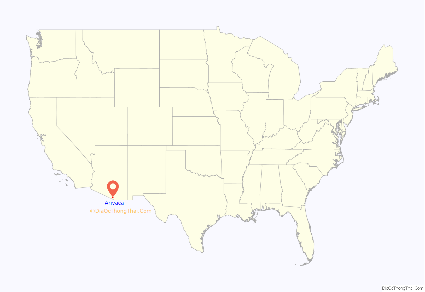
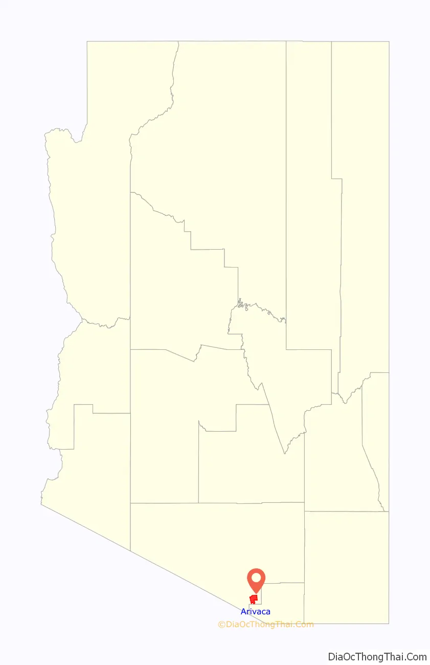
Arivaca location map. Where is Arivaca CDP?
History
Early history
The early history of Arivaca is obscure. It was probably a Pima or Tohono O’odham village, abandoned after the Pima Indian Revolt of 1751. Spanish settlers developed small mines.
In 1833 a Mexican land grant of 8,677 acres (35.11 km) was approved, which became La Aribac ranch, a Pima word for “small springs”. Charles Poston bought the ranch in 1856, and the reduction works for the Heintzelman Mine, at Cerro Colorado, were then erected at Arivaca. The Court of Private Land Claims eventually disallowed the Arivaca Land Grant. The US Post Office was established April 10, 1878, with Noah W. Bernard as the first Postmaster; still in operation at ZIP code 85601. Freighter and rancher Pedro Aguirre established a stage stop in Arivaca and the Buenos Aires Ranch. In 1879 he built the historic Arivaca Schoolhouse, which was listed on the National Register of Historic Places in 2012, as the oldest standing school building in Arizona.
Arivaca was a camp for at least three United States Cavalry units during the Mexican Revolution – Troop B of the Connecticut National Guard/The First Company Governor’s Horse Guards (1916), the Utah Cavalry (1917) and the 10th Cavalry (1917–20).
Arivaca mining district
The historic Arivaca mining district consists of over 100 old mines in the Las Guijas Mountains northwest, the San Luis Mountains to the southwest and Cobre Ridge to the southeast of the town. Gold, silver, lead, copper and tungsten production has been recorded starting in Spanish colonial times and continuing intermittently through the 1950s.
Recent history
Arivaca had a population of 26 in the 1960 census.
Arivaca had a small population until the Trico Electric Cooperative power lines arrived in the valley in 1956. In 1972 the Arivaca Ranch sold 11,000 acres to a land developer who subdivided the property into 40-acre parcels. Four years later, the dirt Arivaca Road was paved.
In 1980 author Philip Varney described Arivaca as a semi-ghost town. In the 1980s and 1990s many new residents moved into the area, and a medical clinic, fire department, arts council, human resource office, community center and branch of Pima County Public Library were opened.
In 2012 the Arivaca Schoolhouse, the oldest standing schoolhouse in the state, was added to the National Register of Historic Places. A former nursing home was turned into the Arivaca Action Center with a focus on education, the arts, wellness, hospitality and sustainability. The AAC offers space for meetings, overnight guests, gardening, and physical therapy.
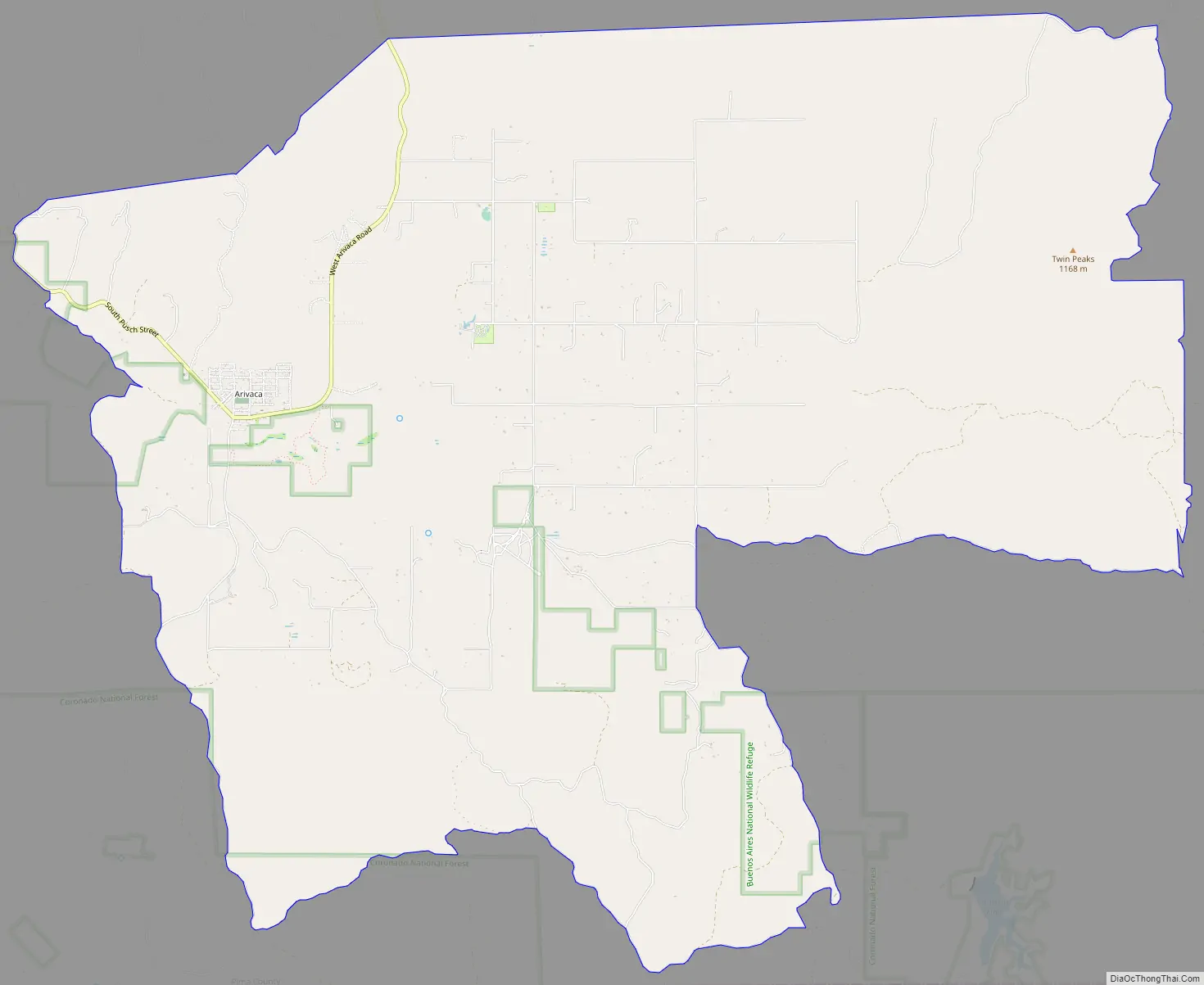
Arivaca Road Map
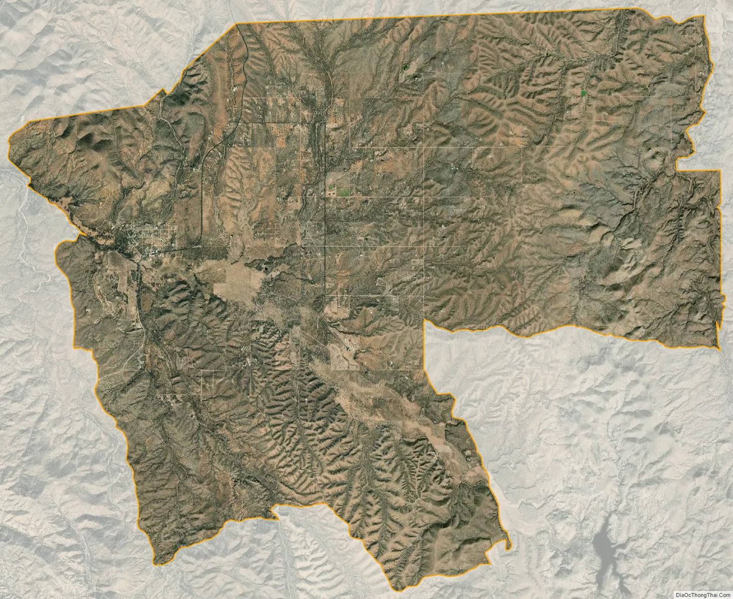
Arivaca city Satellite Map
Geography
The Arivaca community lies on the north side of the Arivaca Creek valley at an elevation of 3,643 feet (1,110 m). The Las Guijas Mountains rise to the northwest and the foothills of the San Luis Mountains are to the south. A unit of the Buenos Aires National Wildlife Refuge occupies the Arivaca Creek valley to the southeast of the town.
Climate
According to the Köppen Climate Classification system, Arivaca has a semi-arid climate, abbreviated “BSk” on climate maps.
See also
Map of Arizona State and its subdivision: Map of other states:- Alabama
- Alaska
- Arizona
- Arkansas
- California
- Colorado
- Connecticut
- Delaware
- District of Columbia
- Florida
- Georgia
- Hawaii
- Idaho
- Illinois
- Indiana
- Iowa
- Kansas
- Kentucky
- Louisiana
- Maine
- Maryland
- Massachusetts
- Michigan
- Minnesota
- Mississippi
- Missouri
- Montana
- Nebraska
- Nevada
- New Hampshire
- New Jersey
- New Mexico
- New York
- North Carolina
- North Dakota
- Ohio
- Oklahoma
- Oregon
- Pennsylvania
- Rhode Island
- South Carolina
- South Dakota
- Tennessee
- Texas
- Utah
- Vermont
- Virginia
- Washington
- West Virginia
- Wisconsin
- Wyoming


