Cane Beds is an unincorporated community and census-designated place (CDP) in Mohave County, Arizona, United States. It lies 4 miles (6 km) south of the border with Utah in the Arizona Strip, and is supported by services in Utah as well as some in Nevada.
The population was 466 at the 2020 census. The community is historically Mormon, and presently also includes several families from breakaway Mormon groups. It has a small tourism industry because of nearby scenic hiking trails.
| Name: | Cane Beds CDP |
|---|---|
| LSAD Code: | 57 |
| LSAD Description: | CDP (suffix) |
| State: | Arizona |
| County: | Mohave County |
| Elevation: | 5,046 ft (1,538 m) |
| Total Area: | 8.29 sq mi (21.46 km²) |
| Land Area: | 8.29 sq mi (21.46 km²) |
| Water Area: | 0.00 sq mi (0.00 km²) |
| Total Population: | 466 |
| Population Density: | 56.25/sq mi (21.72/km²) |
| ZIP code: | 86022 |
| FIPS code: | 0409900 |
| GNISfeature ID: | 2582747 |
Online Interactive Map
Click on ![]() to view map in "full screen" mode.
to view map in "full screen" mode.
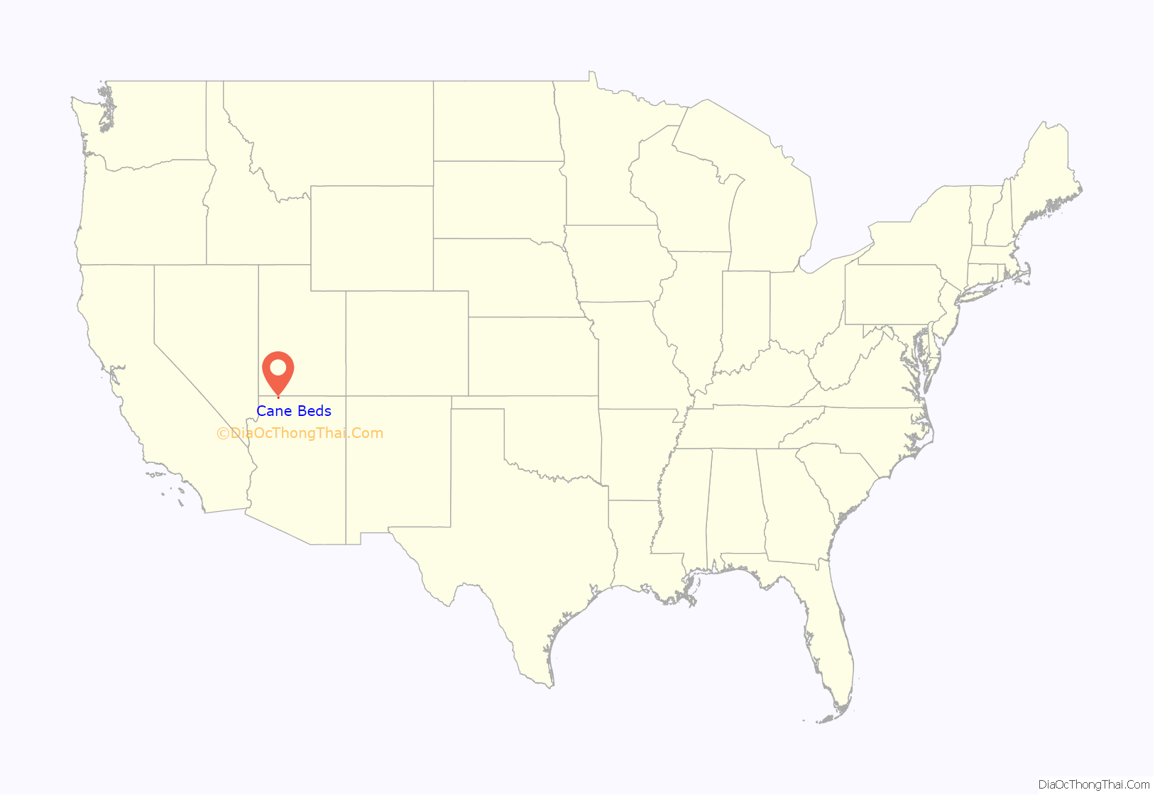
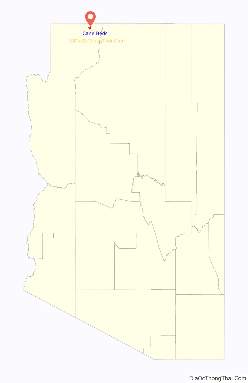
Cane Beds location map. Where is Cane Beds CDP?
History
Until the 20th century, the land was occupied by Southern Paiute people; it is seen within Paiute territory on maps from 1934, which had receded north and was completely absent in Arizona by 1986. There are Paiute, Archaic, and Anasazi sites in the area.
As the Arizona Strip was largely ignored by the government, the Cane Beds land was first explored by settlers during early pioneering expeditions of Mormons in northern Arizona, by John D. Lee, J. C. L. (John Calvin Lazelle) Smith, and Jesse Pierce Steele in June 1852. In 1858, a similar expedition also landed the pioneers in Cane Beds. Lee’s party may have known Cane Beds as “Virgin Bottoms”, being a valley near the Virgin River. The town was established in 1868 and was fully settled by Mormons by 1876, shortly before the first Mormon temple in Utah was finished. It lay along the trail from Lees Ferry to the new temple, traversed by Mormon settlers. The post office was established on June 15, 1917, with Cora H. Cox as postmistress. Cox was born Cora Haight, and had married into the Cox Mormon family. She had moved to Cane Beds with her young family on March 11, 1917.
A group of the Church of the Firstborn (a form of Mormonism), led by Ross LeBaron Jr., is based in Cane Beds. When the nearby Short Creek Community of fundamentalist Mormons broke up following the imprisonment of leader Warren Jeffs, several families moved to Cane Beds; others had been exiled there by Jeffs for not following his doctrine. Benjamin Bistline, Short Creek historian, moved to Cane Beds in his later years after renouncing fundamentalism. Polygamy persisted in the area in the 20th century due to its isolation, despite the practice being discontinued by the Church of Jesus Christ of Latter-day Saints. By 2009, most residents of Cane Beds were non-polygamous, though some still had connections with Colorado City.
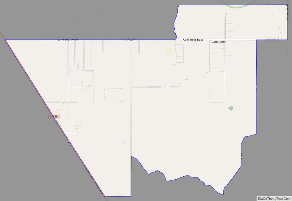
Cane Beds Road Map
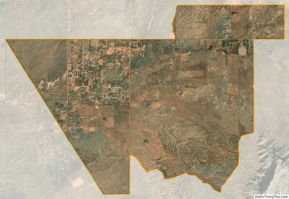
Cane Beds city Satellite Map
Geography
Cane Beds is located in northeastern Mohave County at 36°56′03″N 112°54′42″W / 36.93417°N 112.91167°W / 36.93417; -112.91167 (36.934154, −112.911788). According to the United States Geological Survey, the CDP has a total area of 8.28 square miles (21.4 km), all land. It is in the Arizona Strip, 4 miles (6 km) south of the Arizona–Utah border, 7 miles (11 km) southeast of Colorado City, just south and west of the Vermilion Cliffs and Kaibab Indian Reservation, and about an hour and a half northwest of the Grand Canyon. It is close to the St. George, Utah metropolitan area and borders Cottonwood Point Wilderness. The Vermilion Cliffs at Cane Beds rise more than over 1,000 feet (300 m) above the community, to elevations of 6,210 and 6,443 feet (1,893 and 1,964 m) above sea level.
Land in Cane Beds includes that which is suitable for agriculture. Native fauna includes pronghorns and mule deer.
There are a variety of rock types in the strata at Cane Beds, including the Moenkopi Formation, Chinle Formation, and Shinarump Conglomerate. The town was studied in the Wheeler Survey.
See also
Map of Arizona State and its subdivision: Map of other states:- Alabama
- Alaska
- Arizona
- Arkansas
- California
- Colorado
- Connecticut
- Delaware
- District of Columbia
- Florida
- Georgia
- Hawaii
- Idaho
- Illinois
- Indiana
- Iowa
- Kansas
- Kentucky
- Louisiana
- Maine
- Maryland
- Massachusetts
- Michigan
- Minnesota
- Mississippi
- Missouri
- Montana
- Nebraska
- Nevada
- New Hampshire
- New Jersey
- New Mexico
- New York
- North Carolina
- North Dakota
- Ohio
- Oklahoma
- Oregon
- Pennsylvania
- Rhode Island
- South Carolina
- South Dakota
- Tennessee
- Texas
- Utah
- Vermont
- Virginia
- Washington
- West Virginia
- Wisconsin
- Wyoming


