Congress (aka Old Congress) is a census-designated place (CDP) in Yavapai County, Arizona, United States. Once a gold-mining center for the Congress Mine and then a ghost town, Congress now serves as a retirement and bedroom community for nearby Wickenburg. The population was 1,811 at the 2020 census.
| Name: | Congress CDP |
|---|---|
| LSAD Code: | 57 |
| LSAD Description: | CDP (suffix) |
| State: | Arizona |
| County: | Yavapai County |
| Elevation: | 3,045 ft (928 m) |
| Total Area: | 37.77 sq mi (97.83 km²) |
| Land Area: | 37.74 sq mi (97.74 km²) |
| Water Area: | 0.04 sq mi (0.09 km²) |
| Total Population: | 1,811 |
| Population Density: | 47.99/sq mi (18.53/km²) |
| ZIP code: | 85332 |
| Area code: | 928 |
| FIPS code: | 0415220 |
| GNISfeature ID: | 0003172 |
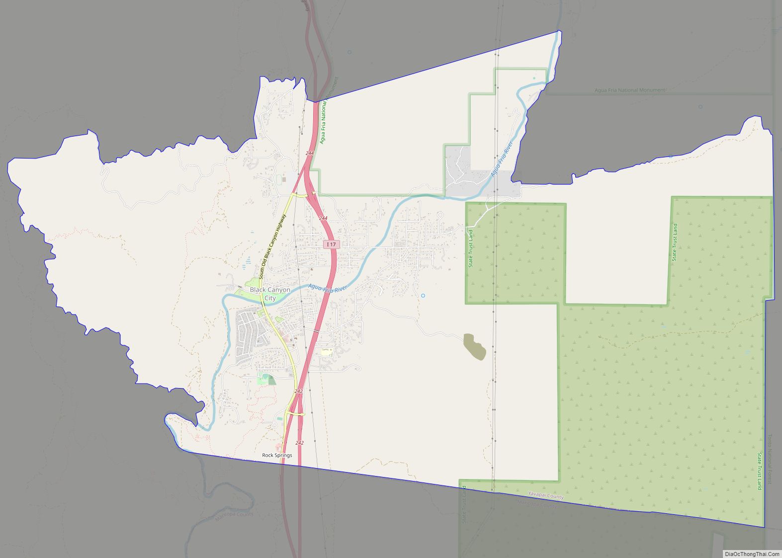
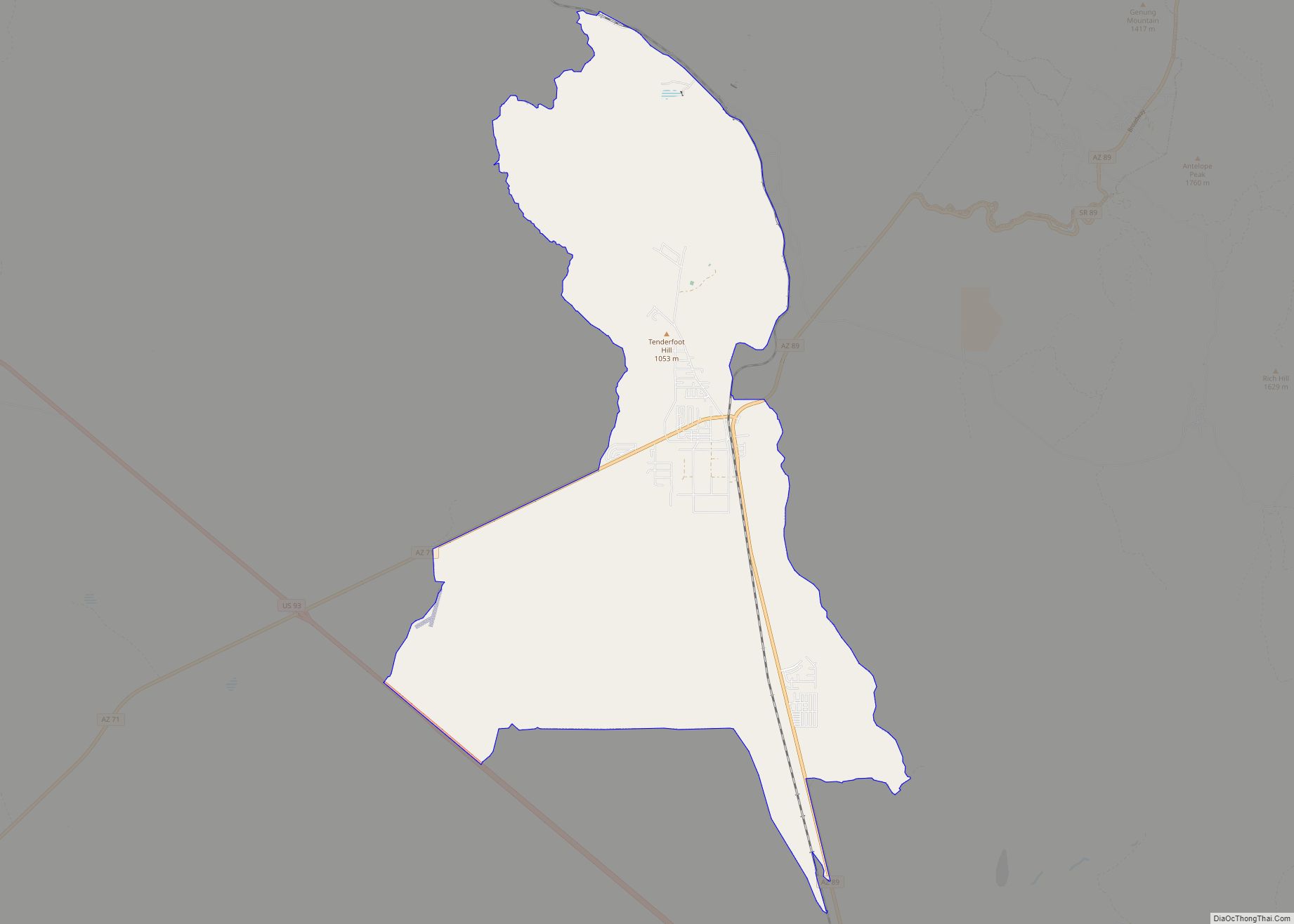
Online Interactive Map
Click on ![]() to view map in "full screen" mode.
to view map in "full screen" mode.
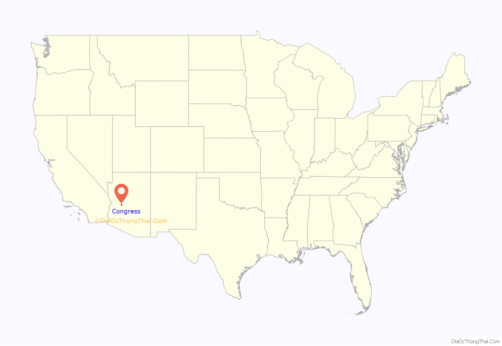
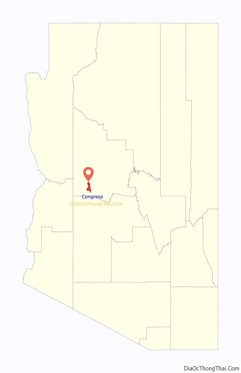
Congress location map. Where is Congress CDP?
History
Gold was discovered at the Congress Mine in 1884. By 1893, the Santa Fe, Prescott and Phoenix Railway passed within three miles of the mine, at Congress Junction. Congress boomed, and remained prosperous until the mid-1930s, when the mines closed. Total gold production at the Congress Mine exceeded $8 million, at the then-current price of $20.67 per ounce – or about $400 million, at the 2007 price.
The post office moved to Congress Junction in 1938, where it remains. The community now known as Congress is the old Congress Junction. Little remains at the original mining-camp townsite. The old Congress Cemetery is nearby.
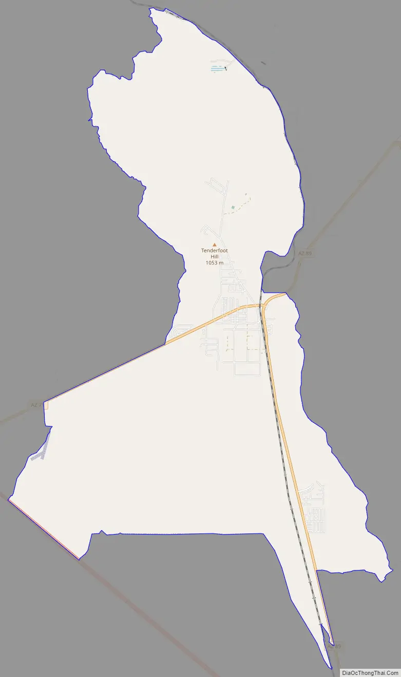
Congress Road Map
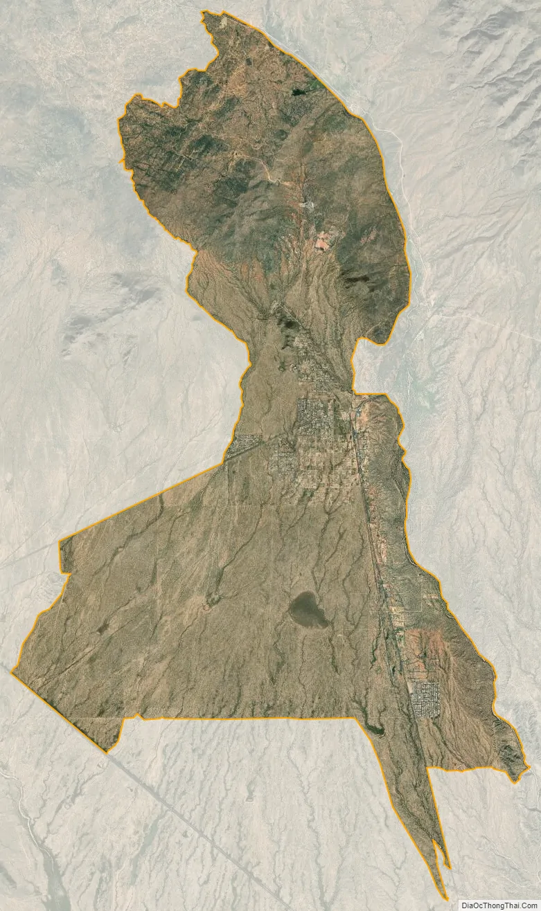
Congress city Satellite Map
Geography
Congress is located at 34°8′46″N 112°50′48″W / 34.14611°N 112.84667°W / 34.14611; -112.84667 (34.146068, -112.846533).
According to the United States Census Bureau, the CDP has a total area of 37.7 square miles (98 km), of which 37.6 square miles (97 km) is land and 0.04 square miles (0.10 km) (0.08%) is water.
Climate
According to the Köppen Climate Classification system, Congress has a semi-arid climate, abbreviated “BSk” on climate maps.
See also
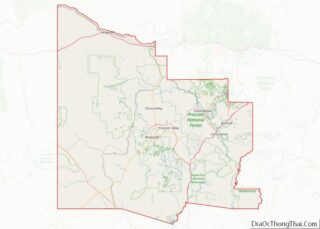
Map of Arizona State and its subdivision: Map of other states:- Alabama
- Alaska
- Arizona
- Arkansas
- California
- Colorado
- Connecticut
- Delaware
- District of Columbia
- Florida
- Georgia
- Hawaii
- Idaho
- Illinois
- Indiana
- Iowa
- Kansas
- Kentucky
- Louisiana
- Maine
- Maryland
- Massachusetts
- Michigan
- Minnesota
- Mississippi
- Missouri
- Montana
- Nebraska
- Nevada
- New Hampshire
- New Jersey
- New Mexico
- New York
- North Carolina
- North Dakota
- Ohio
- Oklahoma
- Oregon
- Pennsylvania
- Rhode Island
- South Carolina
- South Dakota
- Tennessee
- Texas
- Utah
- Vermont
- Virginia
- Washington
- West Virginia
- Wisconsin
- Wyoming