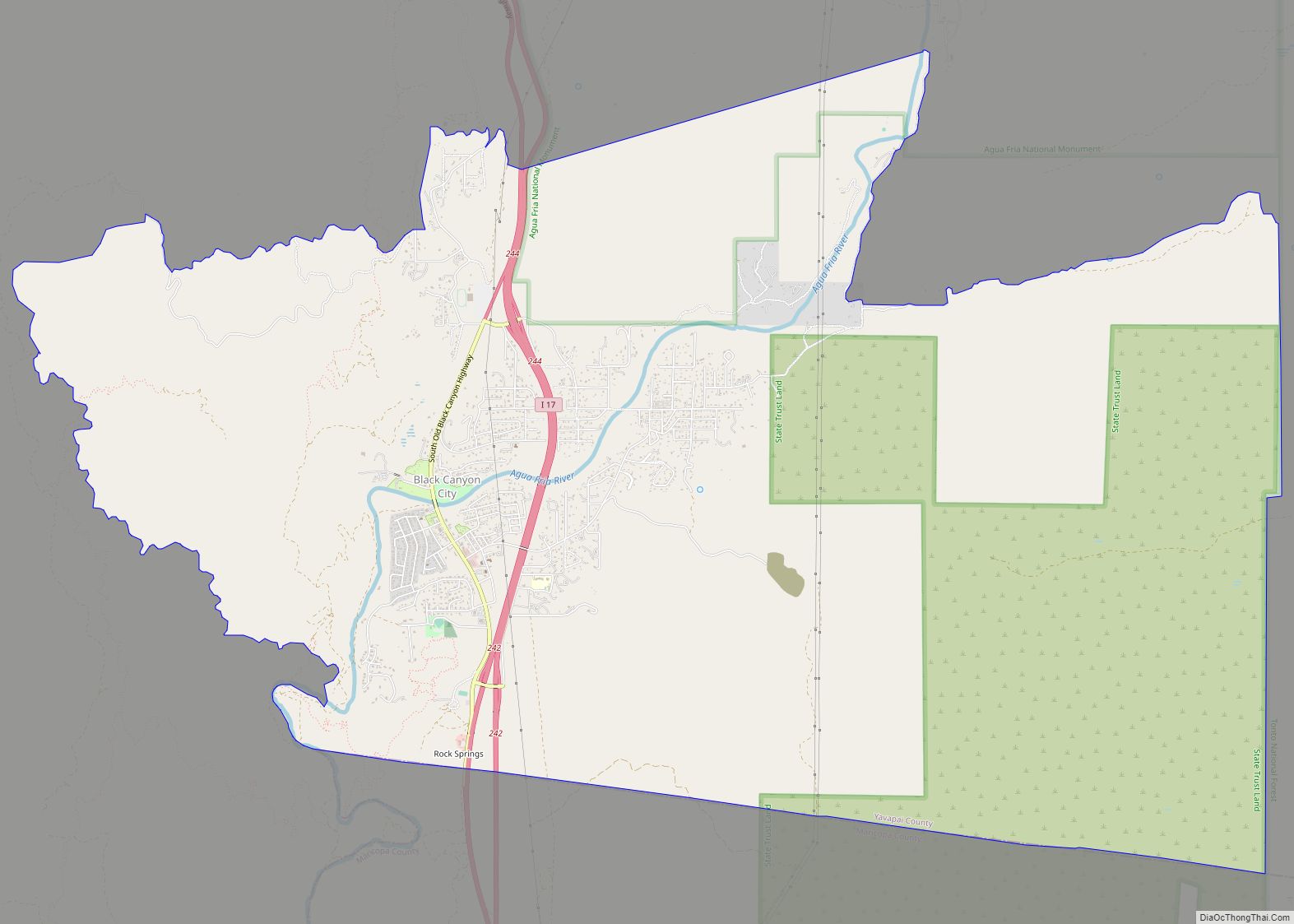
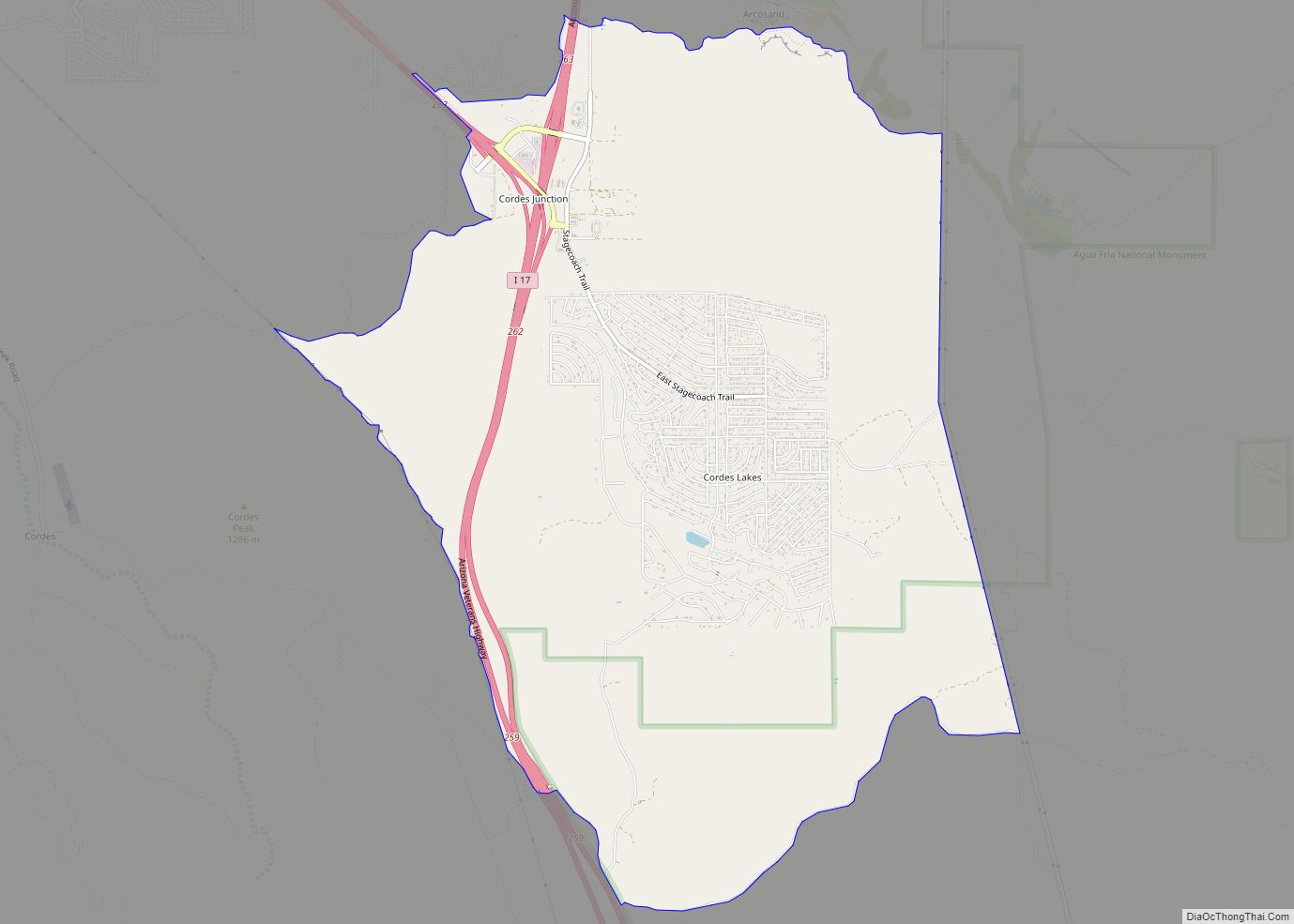
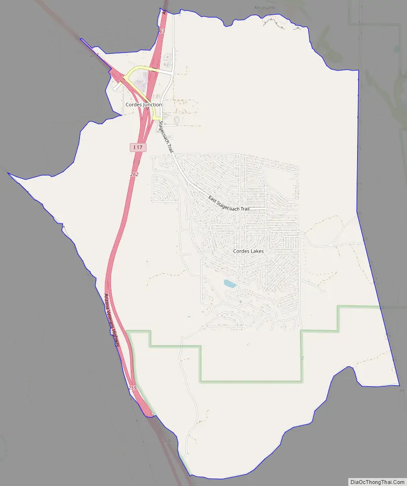
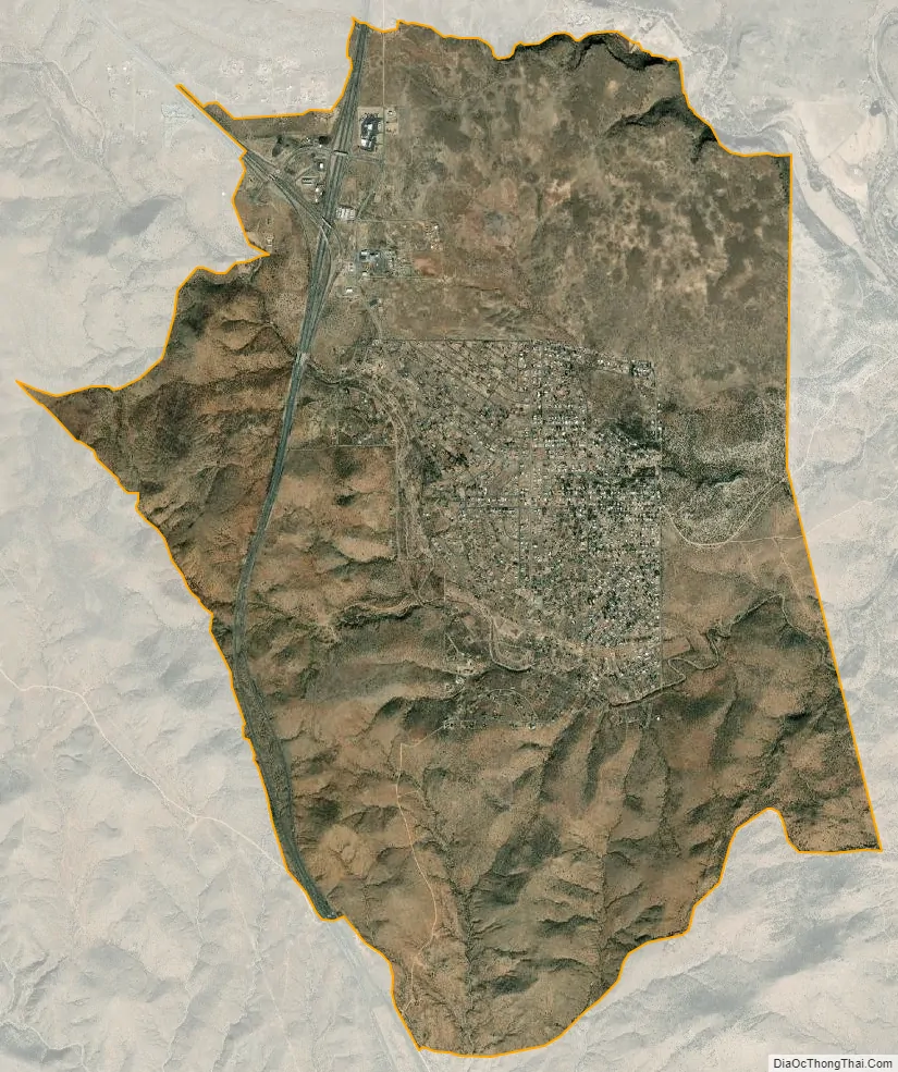
Cordes Lakes is a census-designated place (CDP) in Yavapai County, Arizona, United States. The population was 2,058 at the 2000 census. The Agua Fria National Monument lies to the east and south of the community and Arcosanti is to the north.
Cordes Junction, at the intersection of Arizona State Route 69 and I-17, is located within the CDP of Cordes Lakes.
| Name: | Cordes Lakes CDP |
|---|---|
| LSAD Code: | 57 |
| LSAD Description: | CDP (suffix) |
| State: | Arizona |
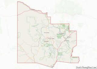
| County: | Yavapai County |
| Elevation: | 3,700 ft (1,128 m) |
| Total Area: | 10.83 sq mi (28.04 km²) |
| Land Area: | 10.83 sq mi (28.04 km²) |
| Water Area: | 0.00 sq mi (0.00 km²) |
| Total Population: | 2,684 |
| Population Density: | 247.92/sq mi (95.73/km²) |
| ZIP code: | 86333 |
| Area code: | 928 |
| FIPS code: | 0415765 |
| GNISfeature ID: | 0038369 |
Online Interactive Map
Click on ![]() to view map in "full screen" mode.
to view map in "full screen" mode.
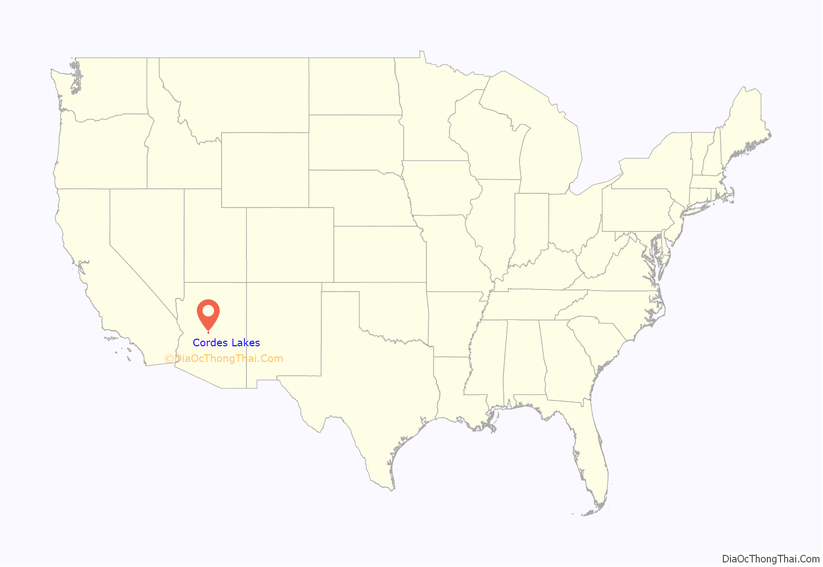
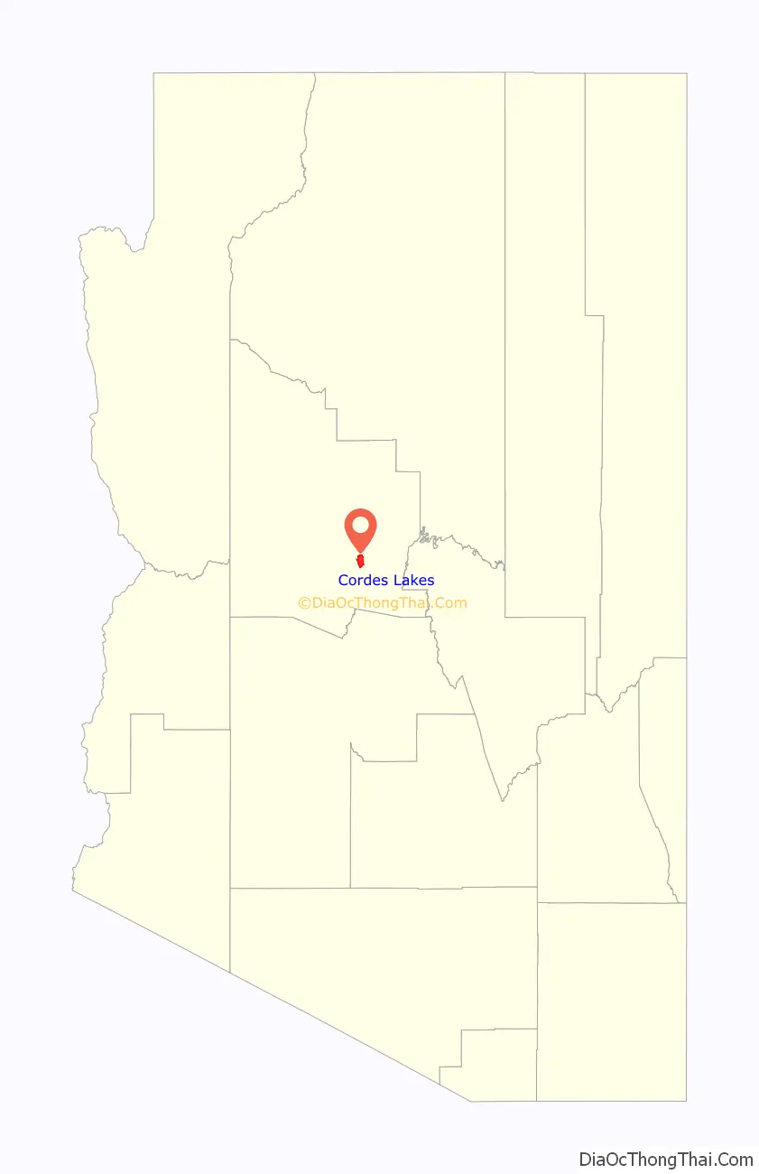
Cordes Lakes location map. Where is Cordes Lakes CDP?
Cordes Lakes Road Map
Cordes Lakes city Satellite Map
Geography
Cordes Lakes is located at 34°18′44″N 112°6′24″W / 34.31222°N 112.10667°W / 34.31222; -112.10667 (34.312109, -112.106569).
According to the United States Census Bureau, the CDP has a total area of 10.9 square miles (28 km), all land.
Lying in the foothills of Prescott Valley, Cordes Lakes has common terrain of a middle latitude desert, including but not limited to tall long stretching hills, mesas, several species of cacti, and large rock formations.
The Cordes Lakes’ back roads lead straight to the Agua Fria National Monument.
There is one shallow man-made lake that often dries up in the summer or all year, especially during times of drought.
See also
Map of Arizona State and its subdivision: Map of other states:- Alabama
- Alaska
- Arizona
- Arkansas
- California
- Colorado
- Connecticut
- Delaware
- District of Columbia
- Florida
- Georgia
- Hawaii
- Idaho
- Illinois
- Indiana
- Iowa
- Kansas
- Kentucky
- Louisiana
- Maine
- Maryland
- Massachusetts
- Michigan
- Minnesota
- Mississippi
- Missouri
- Montana
- Nebraska
- Nevada
- New Hampshire
- New Jersey
- New Mexico
- New York
- North Carolina
- North Dakota
- Ohio
- Oklahoma
- Oregon
- Pennsylvania
- Rhode Island
- South Carolina
- South Dakota
- Tennessee
- Texas
- Utah
- Vermont
- Virginia
- Washington
- West Virginia
- Wisconsin
- Wyoming