Eloy is a city in Pinal County, Arizona, United States, approximately 50 miles (80 km) northwest of Tucson and about 65 miles (105 km) southeast of Phoenix. According to the U.S. Census estimates in 2020, the population of the city is 15,635.
| Name: | Eloy city |
|---|---|
| LSAD Code: | 25 |
| LSAD Description: | city (suffix) |
| State: | Arizona |
| County: | Pinal County |
| Incorporated: | 1949 |
| Elevation: | 1,549 ft (472 m) |
| Total Area: | 113.74 sq mi (294.60 km²) |
| Land Area: | 113.68 sq mi (294.44 km²) |
| Water Area: | 0.06 sq mi (0.16 km²) |
| Total Population: | 15,635 |
| Population Density: | 137.53/sq mi (53.10/km²) |
| ZIP code: | 85131 |
| Area code: | 520 |
| FIPS code: | 0422360 |
| GNISfeature ID: | 2410433 |
Online Interactive Map
Click on ![]() to view map in "full screen" mode.
to view map in "full screen" mode.
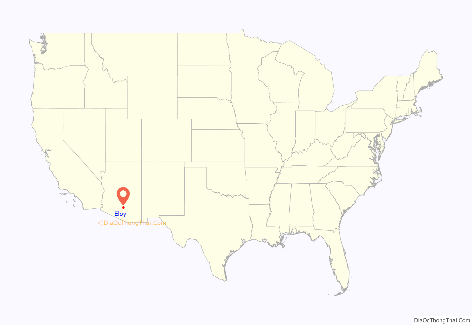
Eloy location map. Where is Eloy city?
History
In 1880, as tracks were being laid for the Southern Pacific Railroad, a small number of boxcars were used as a camp for railroad workers. It was discovered that cotton could be grown in the area’s climate. In 1902, the Southern Pacific Railroad named the area train stop Eloy, an acronym for East Line Of Yuma. Alternately, there is a legend that the area was initially called Eloi, after a railroad employee looked around at the barren desert and said, “Eloi, Eloi, lama sabachthani?” (Aramaic and Hebrew for “My God, my God, why hast thou forsaken me?”). A town called Cotton City was established in 1918, but in 1919 the newly established post office rejected that name in favor of Eloy. As part of Pinal County, the city incorporated in 1949.
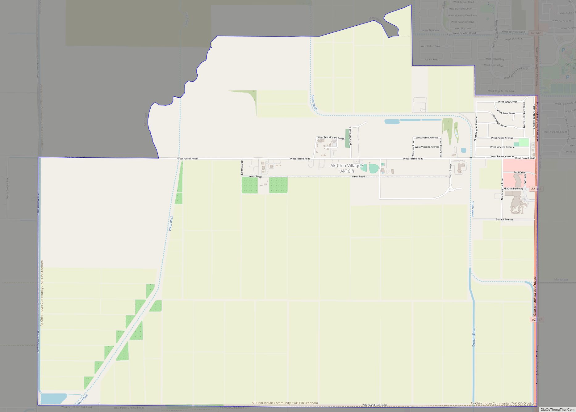
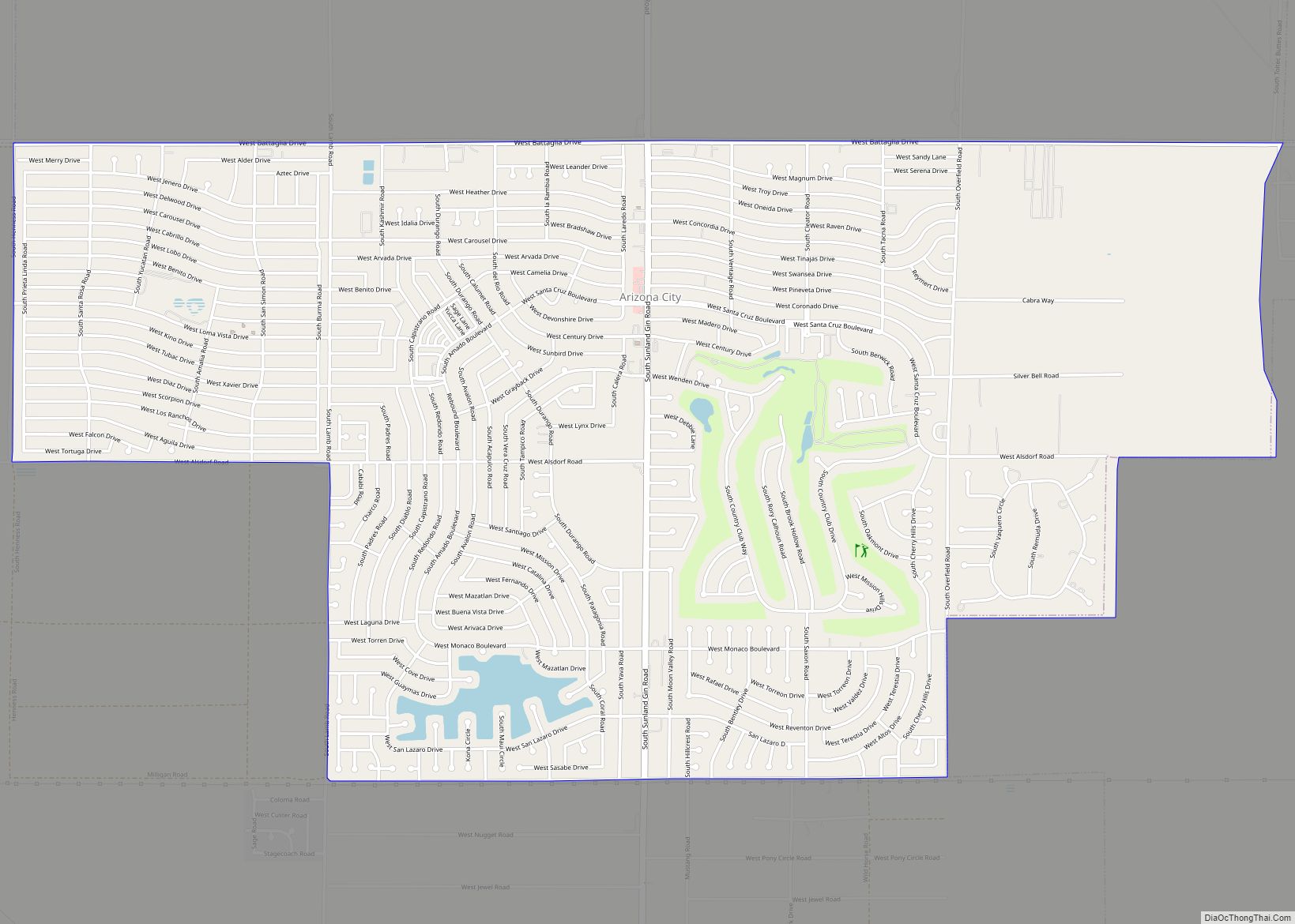
Eloy Road Map
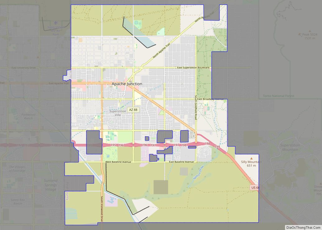
Eloy city Satellite Map
Geography
According to the city of Eloy, the city has a total area of 113.7 square miles (294.5 km), all land.
See also
Map of Arizona State and its subdivision: Map of other states:- Alabama
- Alaska
- Arizona
- Arkansas
- California
- Colorado
- Connecticut
- Delaware
- District of Columbia
- Florida
- Georgia
- Hawaii
- Idaho
- Illinois
- Indiana
- Iowa
- Kansas
- Kentucky
- Louisiana
- Maine
- Maryland
- Massachusetts
- Michigan
- Minnesota
- Mississippi
- Missouri
- Montana
- Nebraska
- Nevada
- New Hampshire
- New Jersey
- New Mexico
- New York
- North Carolina
- North Dakota
- Ohio
- Oklahoma
- Oregon
- Pennsylvania
- Rhode Island
- South Carolina
- South Dakota
- Tennessee
- Texas
- Utah
- Vermont
- Virginia
- Washington
- West Virginia
- Wisconsin
- Wyoming
