Gold Canyon is a census-designated place (CDP) and unincorporated community in Pinal County, Arizona, United States. The community is sometimes incorrectly called Gold Camp.
The town name is referred to as Gold Camp on weather statements issued by the National Weather Service (as seen in citation). The closest city to Gold Canyon is Apache Junction, Arizona.
| Name: | Gold Canyon CDP |
|---|---|
| LSAD Code: | 57 |
| LSAD Description: | CDP (suffix) |
| State: | Arizona |
| County: | Pinal County |
| Elevation: | 1,913 ft (583 m) |
| Total Area: | 28.67 sq mi (74.26 km²) |
| Land Area: | 28.67 sq mi (74.26 km²) |
| Water Area: | 0.00 sq mi (0.00 km²) |
| Total Population: | 11,404 |
| Population Density: | 397.77/sq mi (153.58/km²) |
| ZIP code: | 85118 |
| Area code: | 480 |
| FIPS code: | 0428140 |
| GNISfeature ID: | 2408303 |
| Website: | http://www.goldcanyon.net/ |
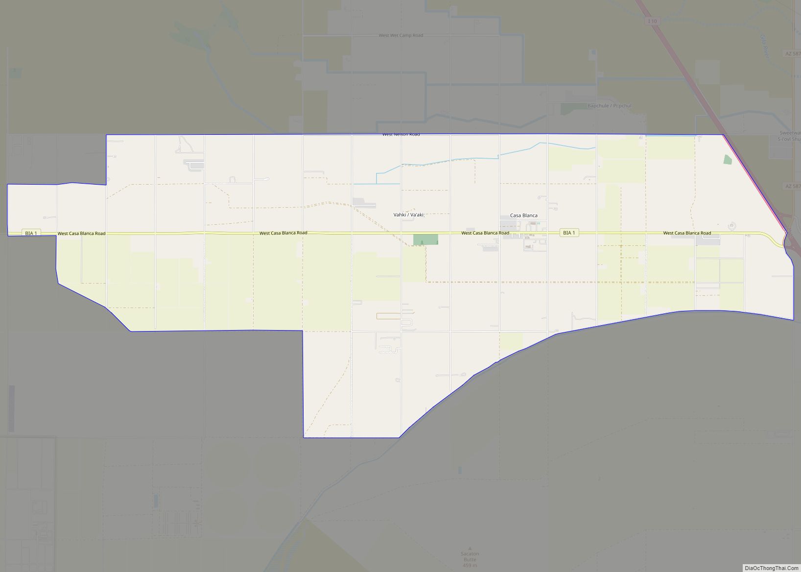
Online Interactive Map
Click on ![]() to view map in "full screen" mode.
to view map in "full screen" mode.
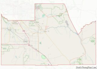
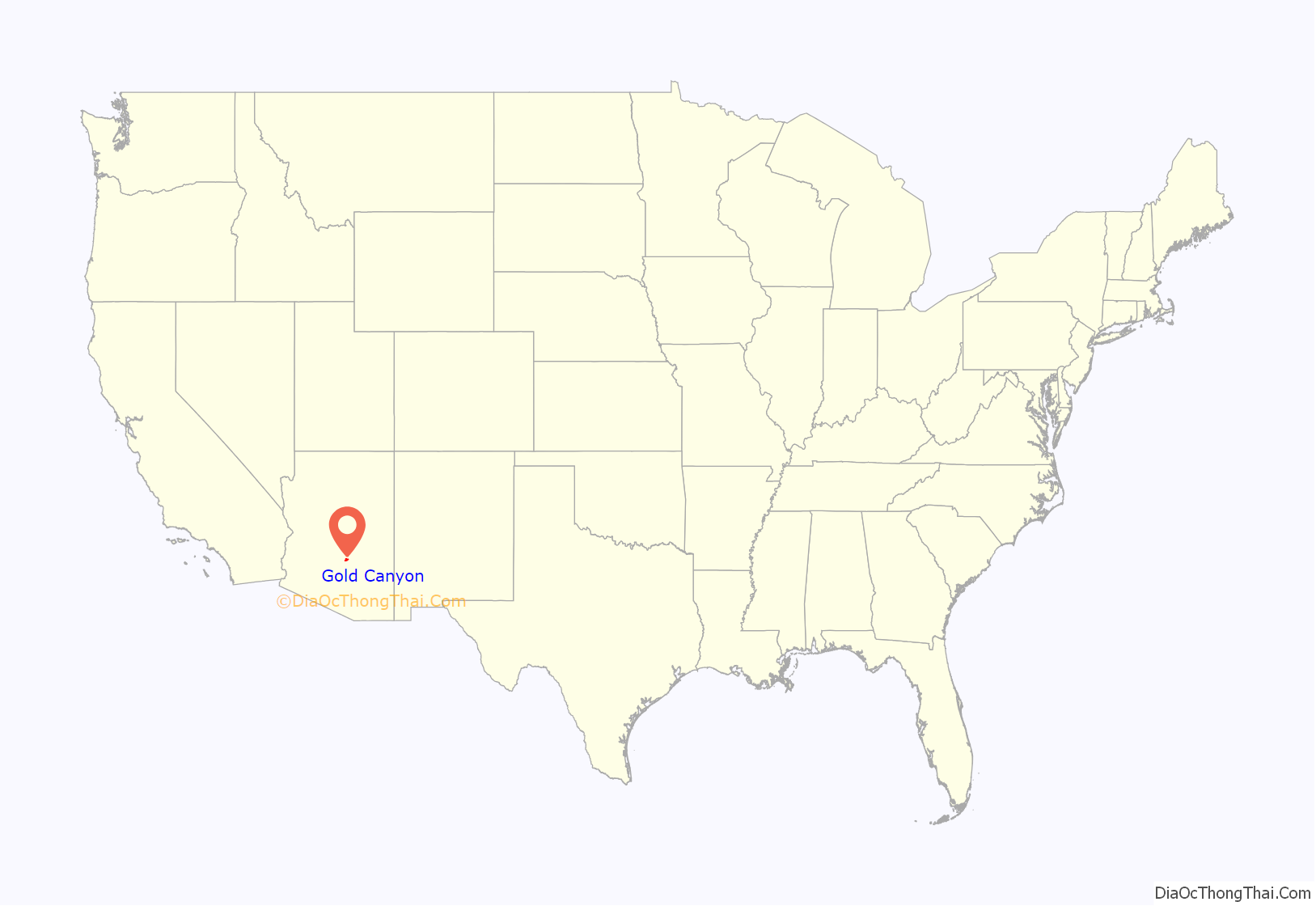
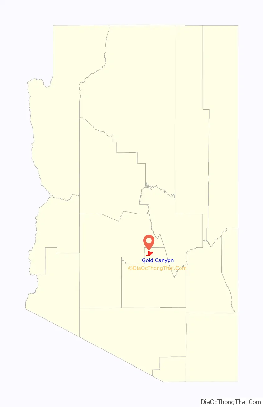
Gold Canyon location map. Where is Gold Canyon CDP?
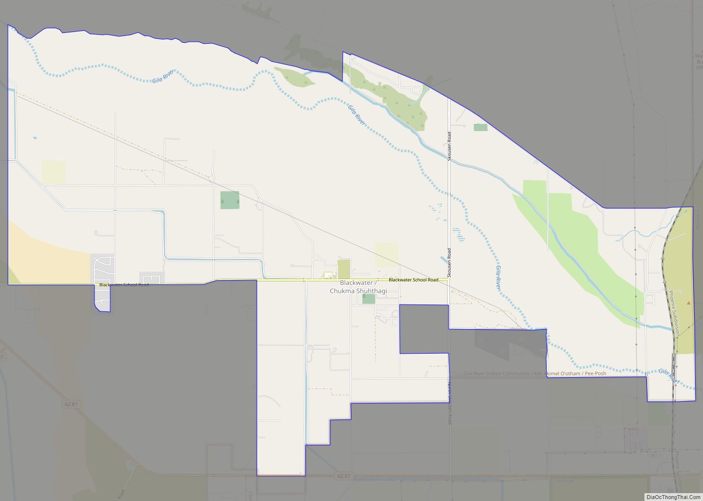
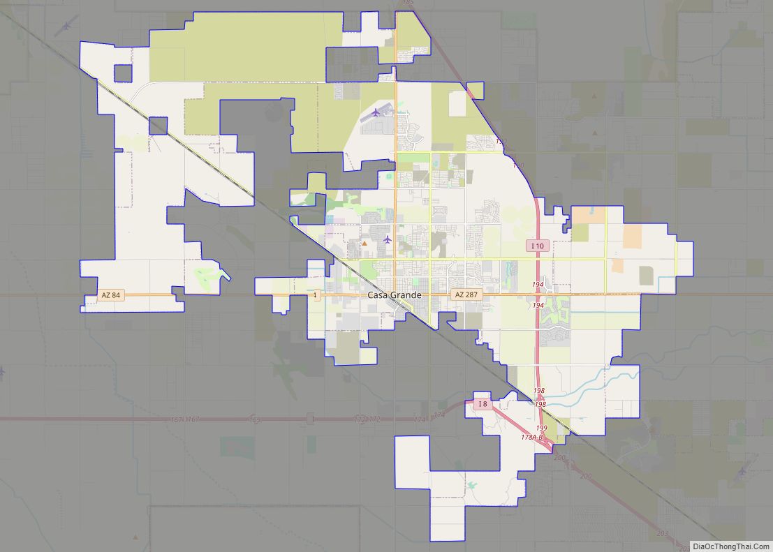
Gold Canyon Road Map
Gold Canyon city Satellite Map

Geography
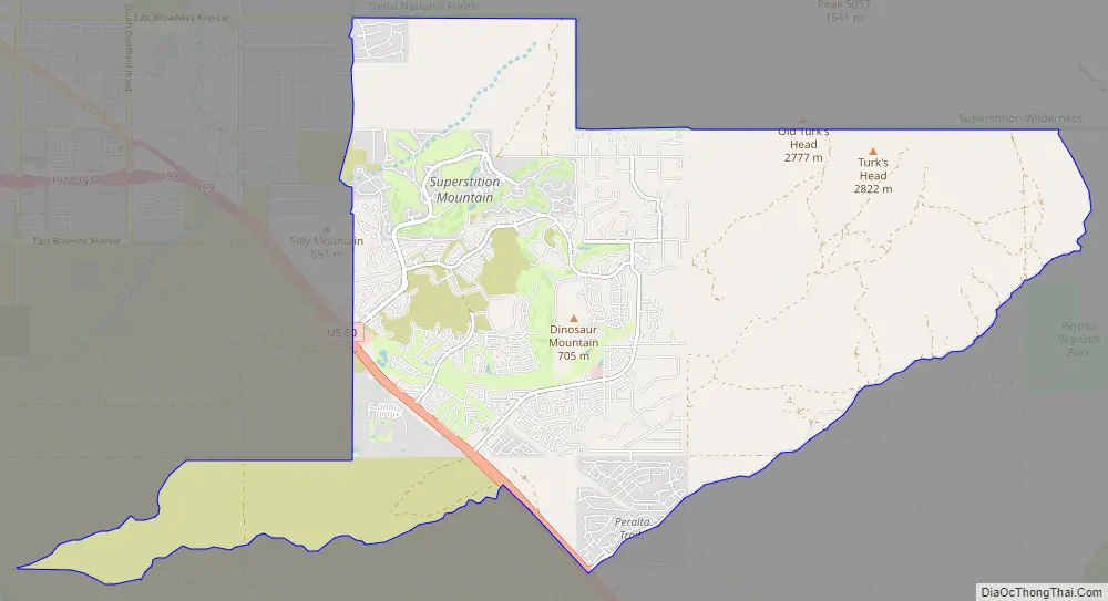
Gold Canyon is located at 33°21′43″N 111°27′6″W / 33.36194°N 111.45167°W / 33.36194; -111.45167 (33.361913, -111.451629).
According to the United States Census Bureau, the CDP has a total area of 22.3 square miles (57.8 km), all land.
Gold Canyon is located on U.S. Route 60.
Peralta Regional Park, a Regional Park, is located in Gold Canyon, east of Peralta Road. The park is 498 acres in area. The park was opened at 10:00 a.m. on January 11.
See also
Map of Arizona State and its subdivision: Map of other states:- Alabama
- Alaska
- Arizona
- Arkansas
- California
- Colorado
- Connecticut
- Delaware
- District of Columbia
- Florida
- Georgia
- Hawaii
- Idaho
- Illinois
- Indiana
- Iowa
- Kansas
- Kentucky
- Louisiana
- Maine
- Maryland
- Massachusetts
- Michigan
- Minnesota
- Mississippi
- Missouri
- Montana
- Nebraska
- Nevada
- New Hampshire
- New Jersey
- New Mexico
- New York
- North Carolina
- North Dakota
- Ohio
- Oklahoma
- Oregon
- Pennsylvania
- Rhode Island
- South Carolina
- South Dakota
- Tennessee
- Texas
- Utah
- Vermont
- Virginia
- Washington
- West Virginia
- Wisconsin
- Wyoming